Bracken Hill
Hill, Mountain in Durham
England
Bracken Hill
Bracken Hill is a prominent hill located in Durham, England. Situated in the northern part of the county, it forms part of the larger Pennines range. The hill is approximately 422 meters (1,385 feet) high, making it one of the highest points in the Durham region.
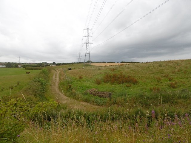
Bracken Hill is renowned for its picturesque views and diverse wildlife. The hill is covered with an abundance of bracken ferns, which give it its distinctive name. These ferns create a lush and green landscape, especially during the summer months. The hill is also home to various species of birds, including kestrels, buzzards, and pheasants, making it a popular destination for birdwatchers.
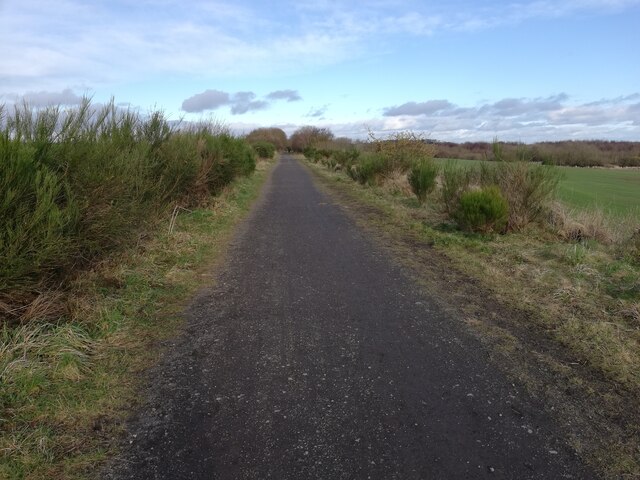
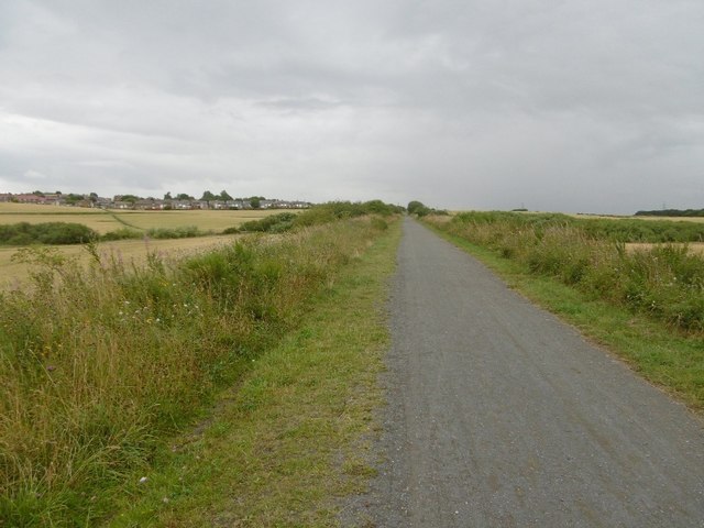
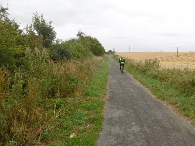
The hill offers several walking trails and hiking routes, attracting outdoor enthusiasts and nature lovers. The paths are well-maintained, allowing visitors to explore the hill's stunning surroundings while enjoying breathtaking vistas of the Durham countryside. On clear days, the panoramic view from the summit extends as far as the North Sea, providing a spectacular sight.
Bracken Hill is easily accessible, with a parking area at its base and a network of footpaths leading to the top. The hill is also a great spot for a picnic, with designated areas offering benches and tables.
In summary, Bracken Hill is a beautiful and scenic hill located in Durham, England. With its stunning views, rich wildlife, and well-maintained trails, it provides an ideal destination for nature enthusiasts and those seeking outdoor activities in the Durham region.
If you have any feedback on the listing, please let us know in the comments section below.
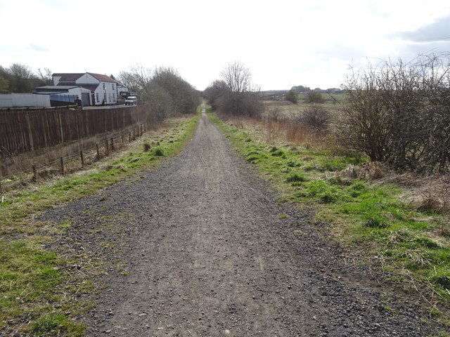
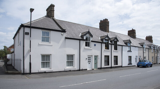
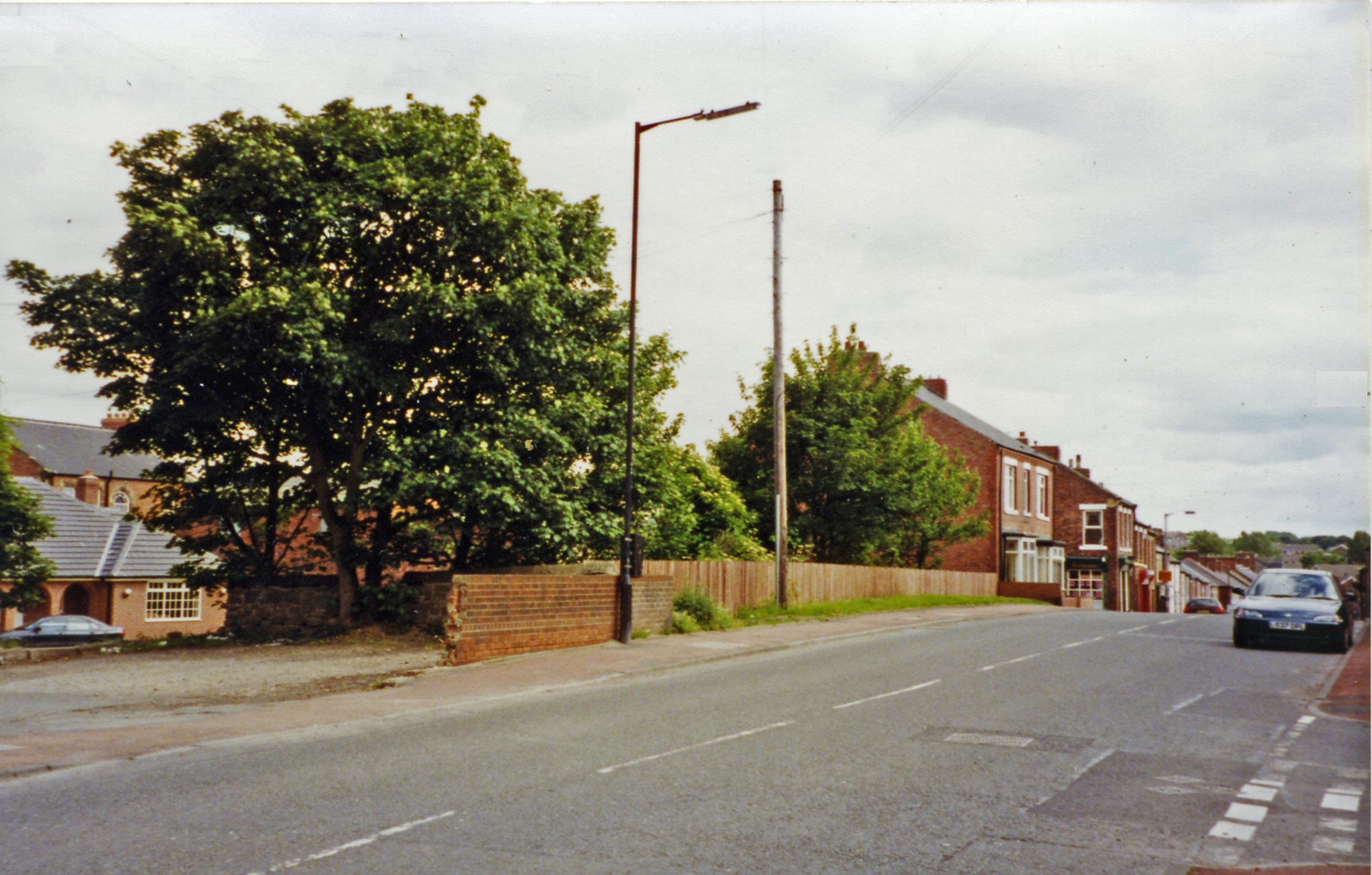
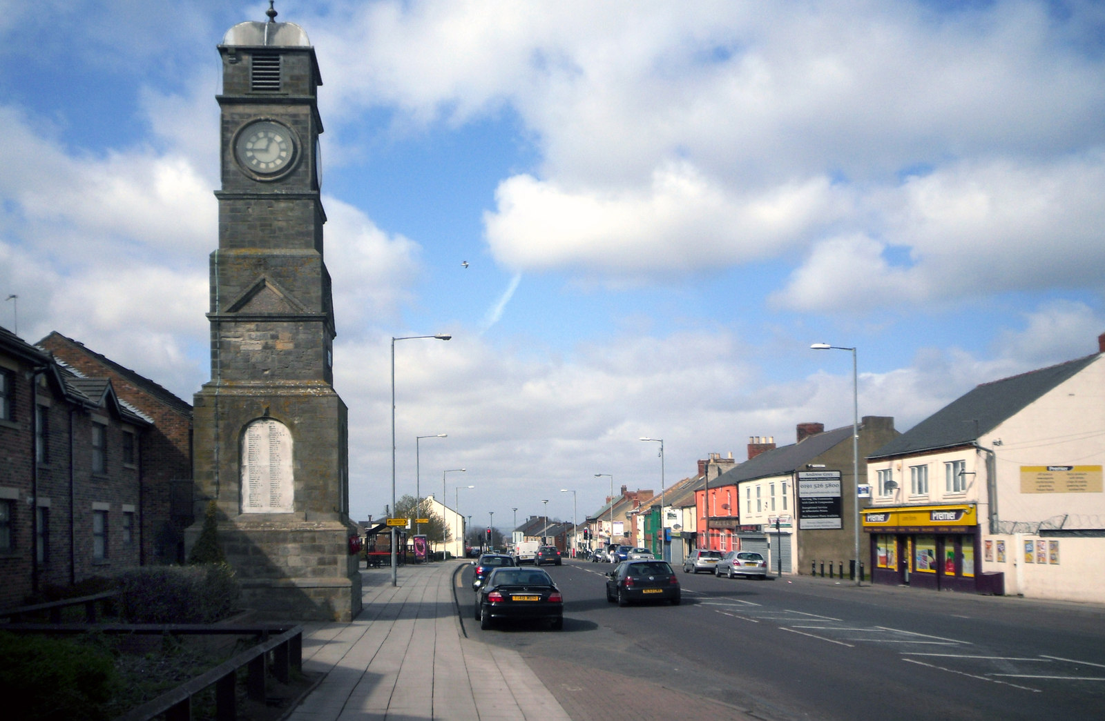
Bracken Hill Images
Images are sourced within 2km of 54.819756/-1.4312015 or Grid Reference NZ3647. Thanks to Geograph Open Source API. All images are credited.


Bracken Hill is located at Grid Ref: NZ3647 (Lat: 54.819756, Lng: -1.4312015)
Unitary Authority: Sunderland
Police Authority: Northumbria
What 3 Words
///gear.inhales.unzipped. Near Hetton-Le-Hole, Tyne & Wear
Nearby Locations
Related Wikis
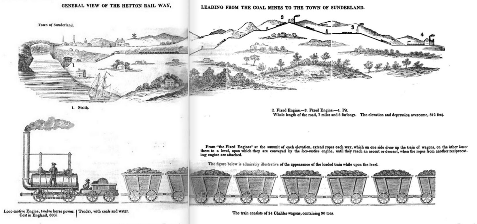
Hetton colliery railway
The Hetton colliery railway was an 8-mile (13 km) long private railway opened in 1822 by the Hetton Coal Company at Hetton-le-Hole, County Durham, England...
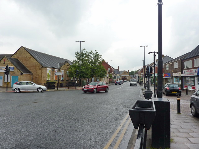
Hetton-le-Hole
Hetton-le-Hole is a town and civil parish in the City of Sunderland, Tyne and Wear, England. It is in the historic county of Durham. A182 runs through...
Hetton railway station
Hetton railway station served the town of Hetton-le-Hole, Tyne and Wear, England, from 1837 to 1963 on the Durham and Sunderland Railway. == History... ==
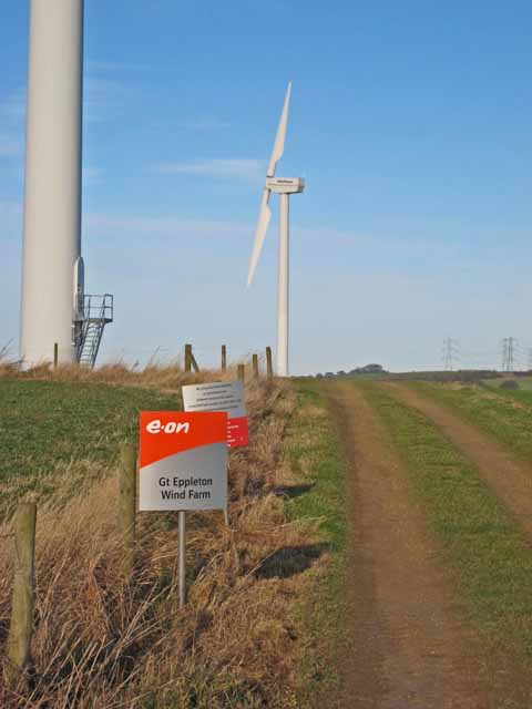
Great Eppleton Wind Farm
Great Eppleton Wind Farm is a wind farm near Hetton-le-Hole, England. It is owned and operated by E.ON UK. Constructed in 1997, it was notable for originally...
Easington Lane
Easington Lane is a village in the City of Sunderland metropolitan borough in the county of Tyne and Wear, North East England. Historically part of County...

Eppleton Colliery Welfare Ground
Eppleton Colliery Welfare Ground (often shortened to Eppleton CW) is a football ground located in Hetton-le-Hole in the City of Sunderland, Tyne and Wear...

Murton railway station
Murton railway station served the village of Murton, County Durham, England, from 1837 to 1953 on the Durham and Sunderland Railway. == History == The...
Sunderland A.F.C. Women
Sunderland Association Football Club Women is an English women's football club that plays in the Women's Championship. They play their home games at the...
Nearby Amenities
Located within 500m of 54.819756,-1.4312015Have you been to Bracken Hill?
Leave your review of Bracken Hill below (or comments, questions and feedback).