Blossom Pond
Lake, Pool, Pond, Freshwater Marsh in Durham
England
Blossom Pond
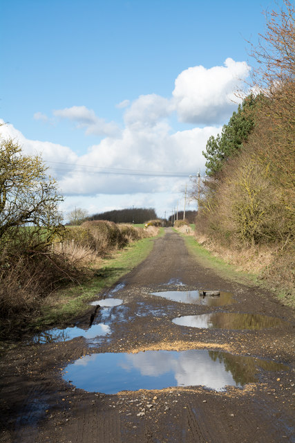
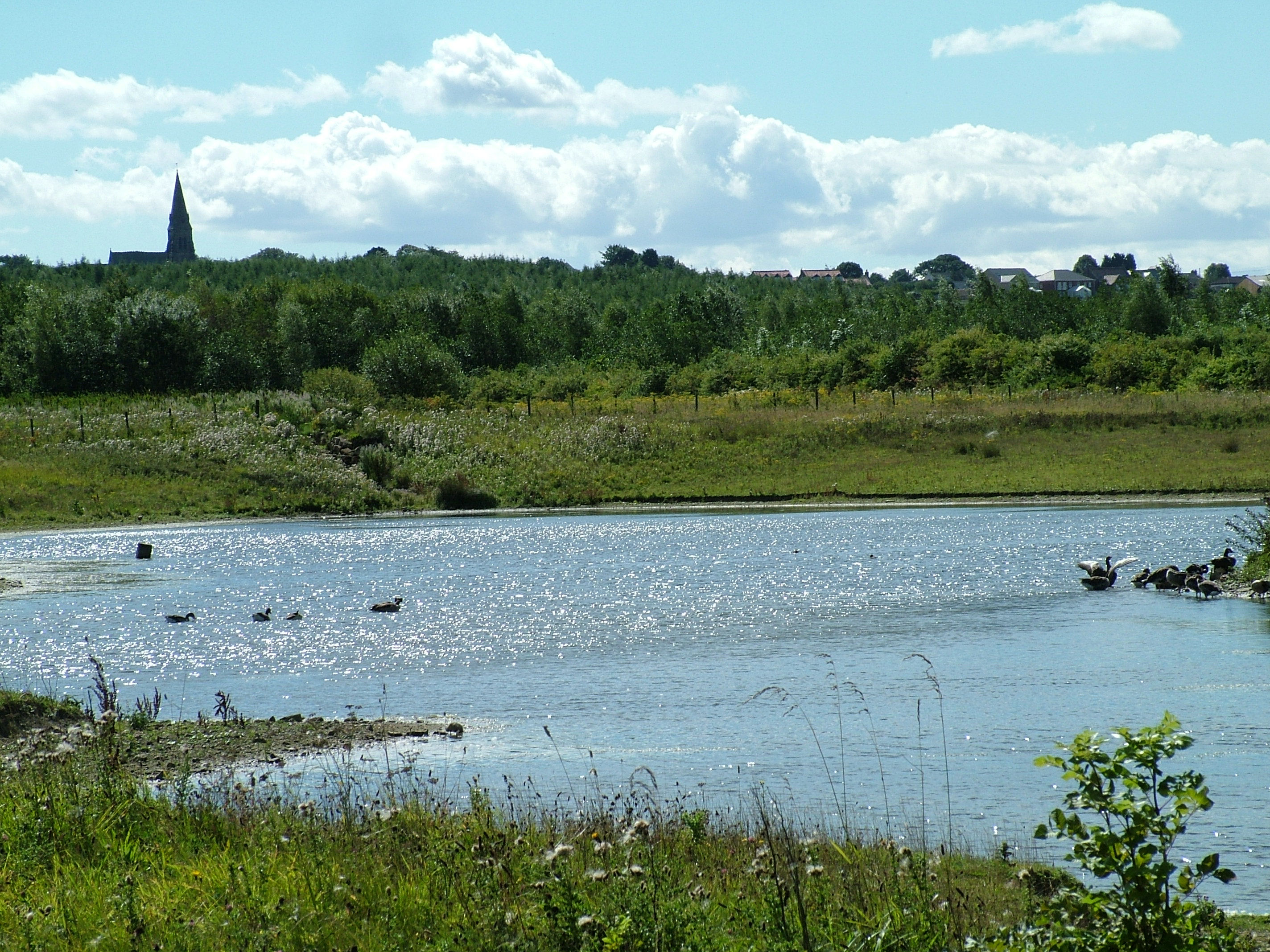
Blossom Pond is a serene freshwater body located in Durham, a picturesque town in eastern Connecticut, United States. Spanning across an area of approximately 20 acres, it is a popular recreational spot for both locals and visitors alike.
The pond is characterized by its crystal-clear waters, which shimmer under the sunlight, creating a mesmerizing sight. Surrounded by lush greenery and towering trees, Blossom Pond offers a peaceful and tranquil environment, making it a perfect getaway for nature enthusiasts.
The pond serves as a habitat for various aquatic plants and wildlife species, including frogs, turtles, and several species of fish. With its diverse ecosystem, it provides a unique opportunity for nature lovers to observe and appreciate the local flora and fauna.
Visitors can engage in a variety of activities at Blossom Pond. Fishing is a popular pastime, with anglers trying their luck at catching species such as largemouth bass, sunfish, and pickerel. The pond also attracts boating enthusiasts, who can explore its calm waters on kayaks, canoes, or small motorized boats.
For those seeking relaxation, the sandy beach area adjacent to the pond is an ideal spot to sunbathe or have a picnic with family and friends. The gentle slopes surrounding the pond offer scenic trails for hiking and birdwatching, allowing visitors to immerse themselves in the natural beauty of the area.
Overall, Blossom Pond in Durham provides a serene and idyllic setting for outdoor enthusiasts to enjoy a range of activities and connect with nature's wonders.
If you have any feedback on the listing, please let us know in the comments section below.
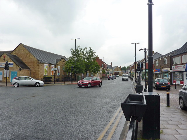
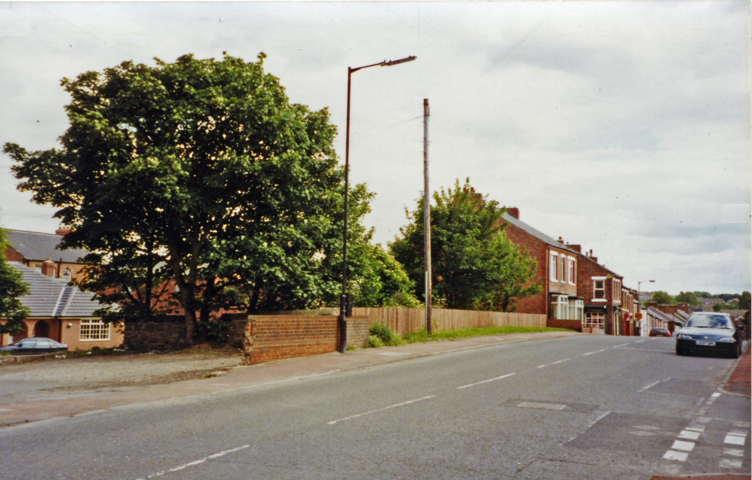
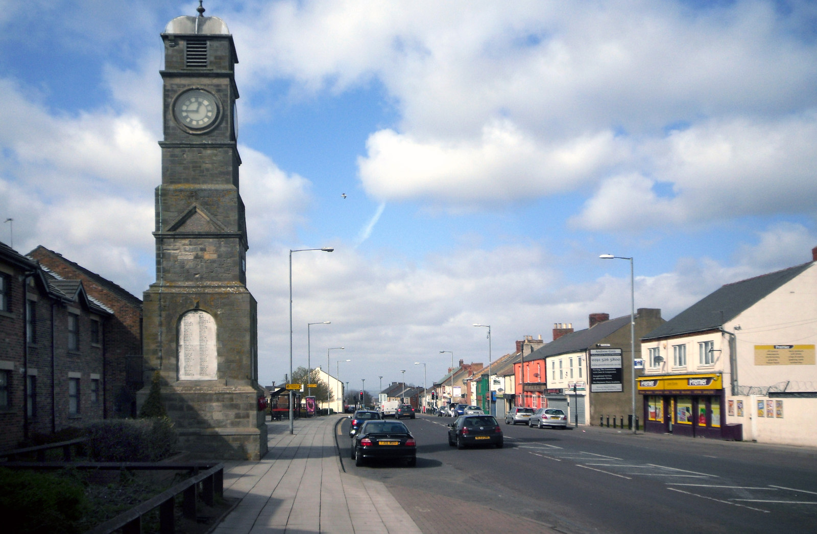
Blossom Pond Images
Images are sourced within 2km of 54.819531/-1.4408847 or Grid Reference NZ3647. Thanks to Geograph Open Source API. All images are credited.


Blossom Pond is located at Grid Ref: NZ3647 (Lat: 54.819531, Lng: -1.4408847)
Unitary Authority: Sunderland
Police Authority: Northumbria
What 3 Words
///cool.figure.afflicted. Near Hetton-Le-Hole, Tyne & Wear
Nearby Locations
Related Wikis
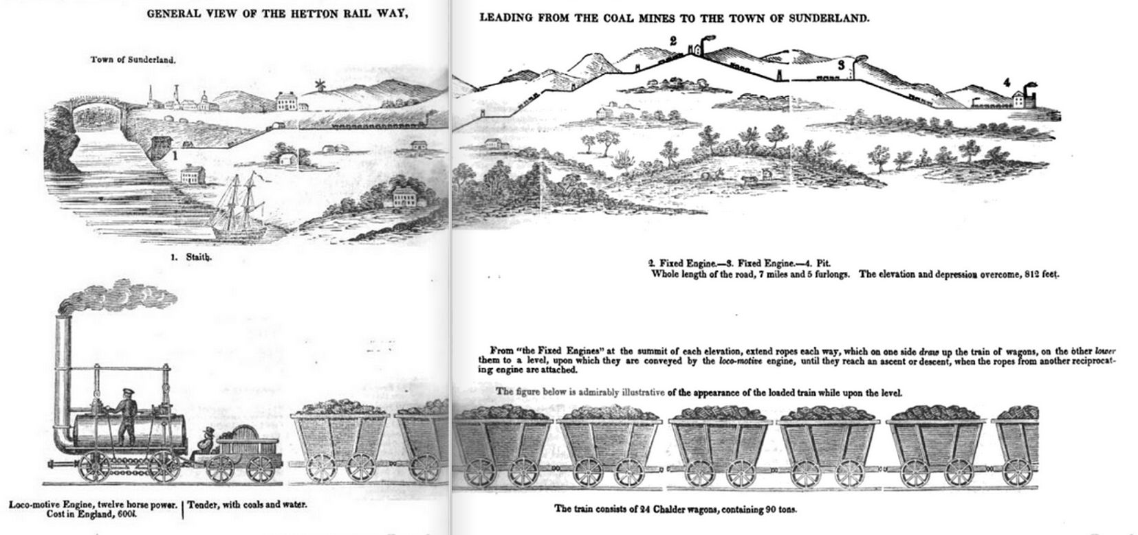
Hetton colliery railway
The Hetton colliery railway was an 8-mile (13 km) long private railway opened in 1822 by the Hetton Coal Company at Hetton-le-Hole, County Durham, England...
Hetton-le-Hole
Hetton-le-Hole is a town and civil parish in the City of Sunderland, Tyne and Wear, England. It is in the historic county of Durham. A182 runs through...
Hetton railway station
Hetton railway station served the town of Hetton-le-Hole, Tyne and Wear, England, from 1837 to 1963 on the Durham and Sunderland Railway. == History... ==

Eppleton Colliery Welfare Ground
Eppleton Colliery Welfare Ground (often shortened to Eppleton CW) is a football ground located in Hetton-le-Hole in the City of Sunderland, Tyne and Wear...
Sunderland A.F.C. Women
Sunderland Association Football Club Women is an English women's football club that plays in the Women's Championship. They play their home games at the...
Hetton Academy
Hetton Academy (formerly Hetton School) is a coeducational secondary school located in Hetton-le-Hole in the City of Sunderland, Tyne and Wear, England...
Easington Lane
Easington Lane is a village in the City of Sunderland metropolitan borough in the county of Tyne and Wear, North East England. Historically part of County...
Rainton Meadows
Rainton Meadows is a nature reserve just to the west of East Rainton, County Durham, north-east England. The reserve, which covers 60 ha, and the adjacent...
Nearby Amenities
Located within 500m of 54.819531,-1.4408847Have you been to Blossom Pond?
Leave your review of Blossom Pond below (or comments, questions and feedback).