Brown Hill
Hill, Mountain in Yorkshire Harrogate
England
Brown Hill

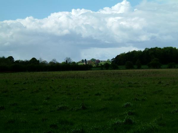
Brown Hill is a prominent geographical feature located in the beautiful region of Yorkshire, England. Situated in the southern part of the county, near the village of Holmfirth, Brown Hill is a modestly sized hill that offers breathtaking views of the surrounding landscape.
At an elevation of approximately 1,000 feet, Brown Hill is considered more of a hill than a mountain. Its gentle slopes and rounded summit make it easily accessible for hikers and nature enthusiasts. The hill is predominantly composed of sedimentary rock formations, which give it a distinct brownish hue, hence its name.
The landscape surrounding Brown Hill is characterized by picturesque countryside, rolling hills, and lush green fields. From the summit, visitors can marvel at the panoramic views that stretch across the surrounding valleys and moorlands. On a clear day, it is even possible to catch a glimpse of the Peak District National Park in the distance.
The area surrounding Brown Hill is rich with biodiversity, supporting a variety of flora and fauna. The hill is home to a diverse range of plant species, including heather, bracken, and wildflowers. Wildlife such as rabbits, foxes, and various bird species can also be spotted in the area.
Due to its scenic beauty and accessibility, Brown Hill attracts both locals and tourists alike. Many visitors embark on leisurely walks or more challenging hikes to reach the summit, where they can enjoy a peaceful picnic or simply take in the stunning vistas.
In conclusion, Brown Hill is a charming hill in Yorkshire, offering breathtaking views and a tranquil escape into nature. Its accessibility, diverse flora and fauna, and stunning surroundings make it a popular destination for outdoor enthusiasts seeking a taste of Yorkshire's natural beauty.
If you have any feedback on the listing, please let us know in the comments section below.
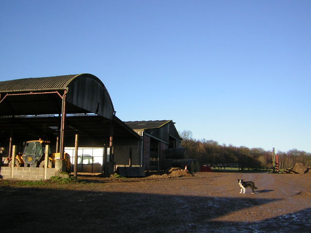
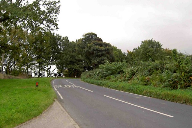
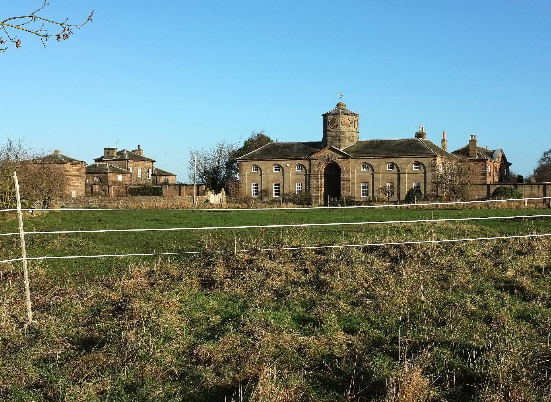
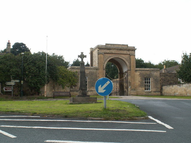
Brown Hill Images
Images are sourced within 2km of 53.978929/-1.4658422 or Grid Reference SE3553. Thanks to Geograph Open Source API. All images are credited.


Brown Hill is located at Grid Ref: SE3553 (Lat: 53.978929, Lng: -1.4658422)
Division: West Riding
Administrative County: North Yorkshire
District: Harrogate
Police Authority: North Yorkshire
What 3 Words
///limbs.layers.asserts. Near Spofforth, North Yorkshire
Nearby Locations
Related Wikis

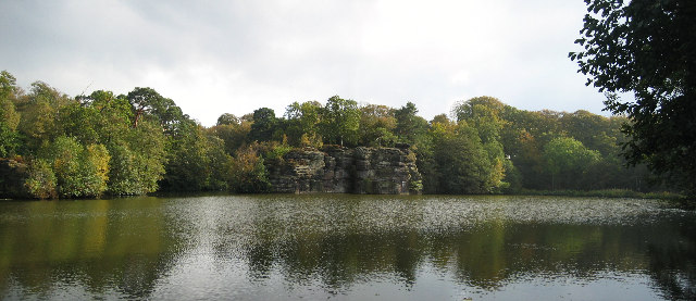
Plumpton Rocks
Plumpton Rocks is a man-made lake and surrounding pleasure gardens 3.5 miles (5.6 km) south-east of Harrogate in North Yorkshire, England, near the village...
Plompton
Plompton (formerly also spelt Plumpton) is a hamlet and civil parish south of Harrogate in North Yorkshire, England. It is close to the A661. Plompton...

Harrogate and Knaresborough (UK Parliament constituency)
Harrogate and Knaresborough () is a parliamentary constituency in North Yorkshire which has been represented in the House of Commons of the UK Parliament...
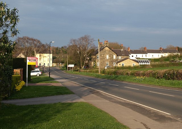
Follifoot
Follifoot is a village and civil parish in the Harrogate district of North Yorkshire, England. It is situated on the A658 road and 4 miles (6.4 km) south...
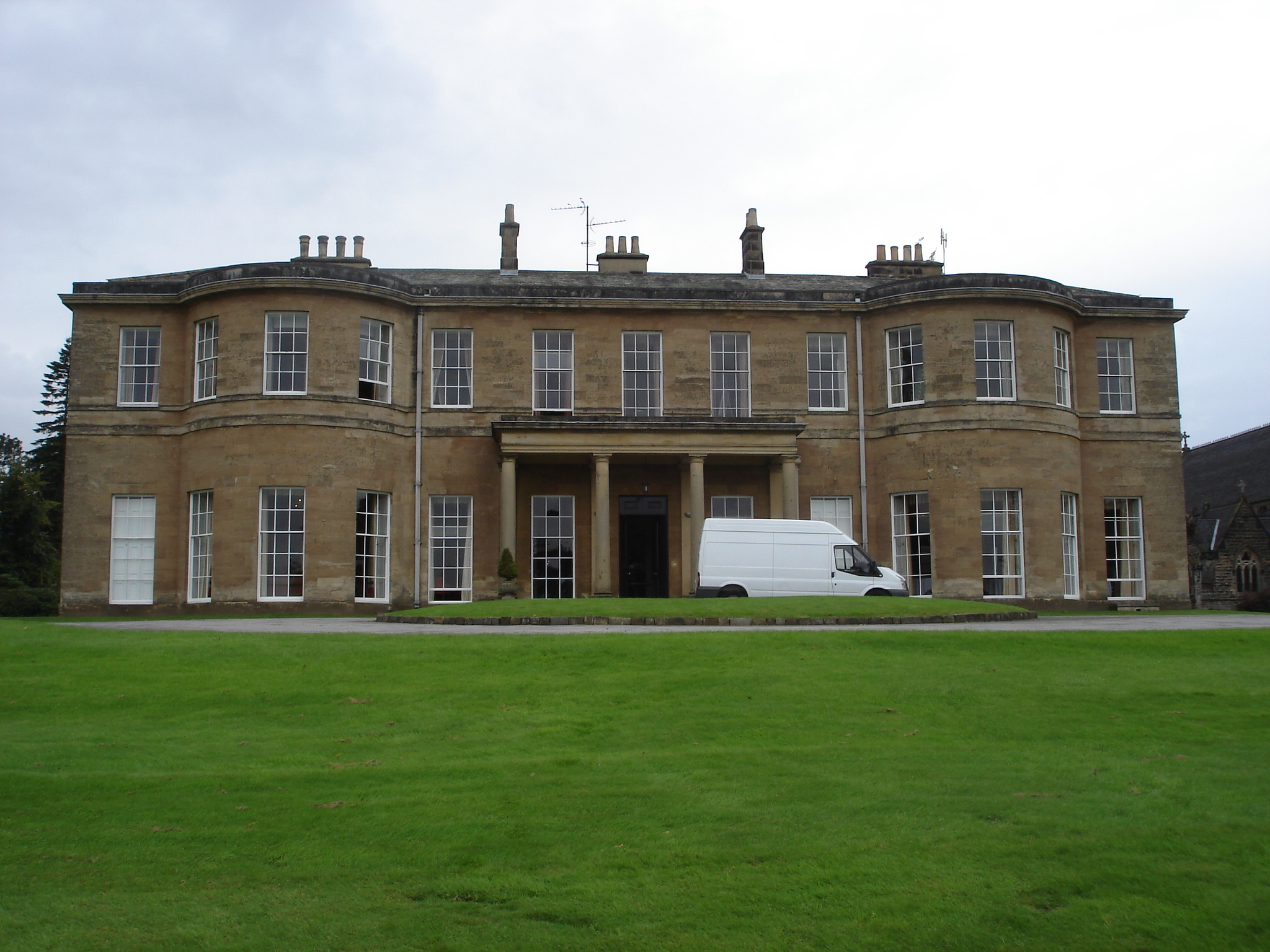
Rudding Park
Rudding Park Hotel, Spa and Golf is a Grade I listed Regency-style country house in Harrogate, North Yorkshire, England.It is situated within the 2,000...
Calcutt, North Yorkshire
Calcutt is a village in the Harrogate district of North Yorkshire, England. == External links == Media related to Calcutt, North Yorkshire at Wikimedia...
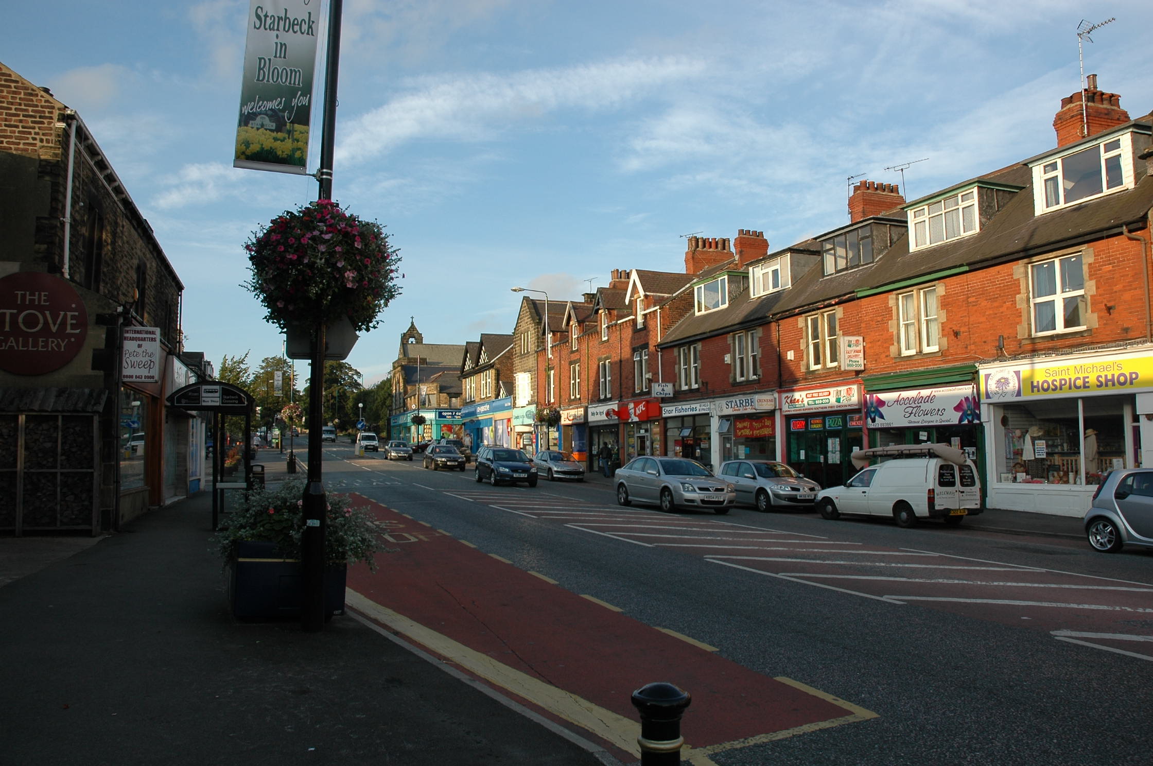
Starbeck
Starbeck is an area of Harrogate in North Yorkshire, England. The population of Starbeck Ward taken at the 2011 census was 6,226. It has many facilities...
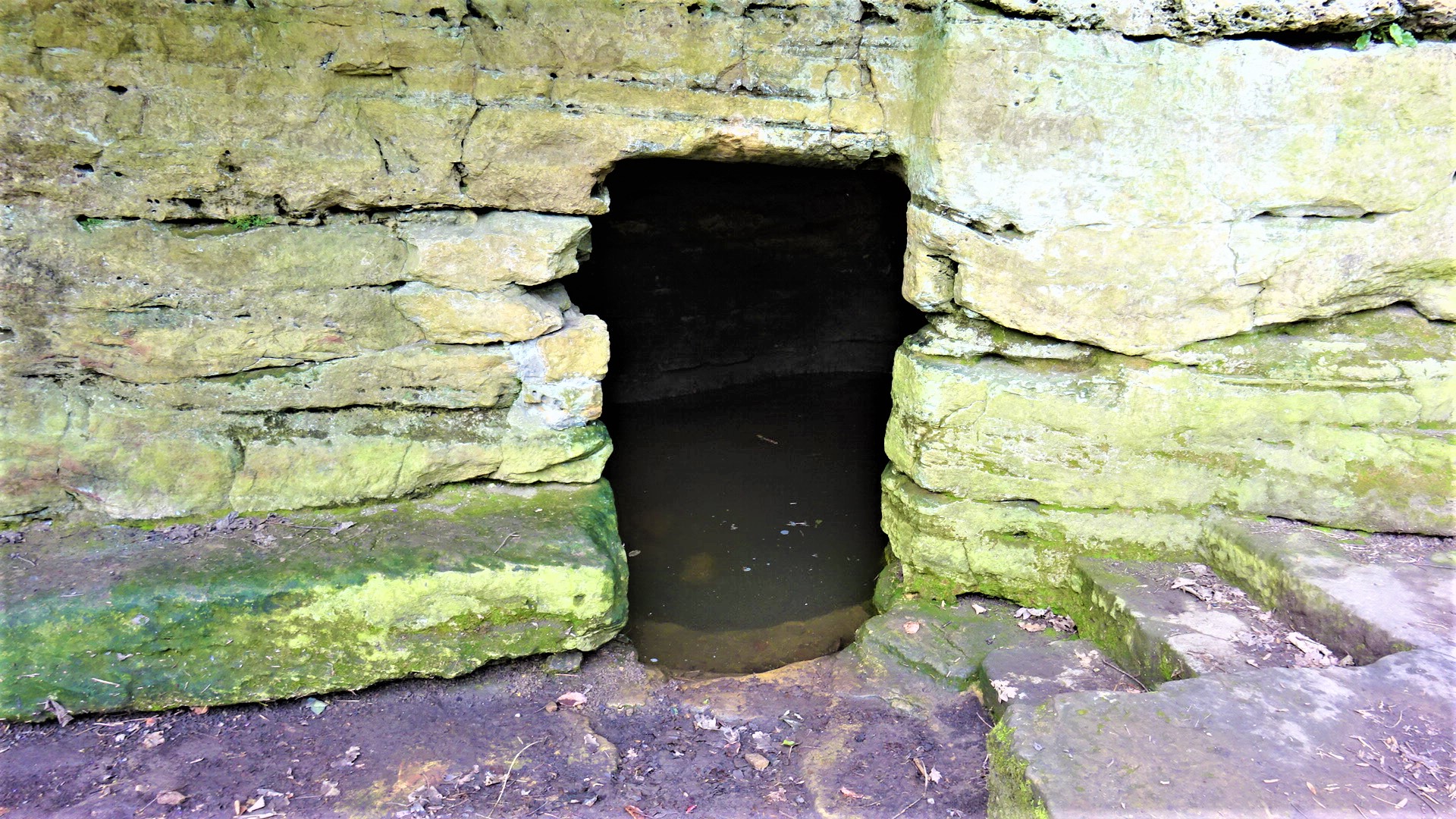
St Robert's Cave and Chapel of the Holy Cross
The early 13th century St Robert's Cave and Chapel of the Holy Cross also known with variants such as St Robert's Chapel and Chapel of the Holy Rood are...
Nearby Amenities
Located within 500m of 53.978929,-1.4658422Have you been to Brown Hill?
Leave your review of Brown Hill below (or comments, questions and feedback).