Thistle Hill
Hill, Mountain in Yorkshire Harrogate
England
Thistle Hill

Thistle Hill is a picturesque hill located in Yorkshire, England. Situated in the northern part of the county, it forms part of the North York Moors National Park. The hill is renowned for its stunning natural beauty, offering visitors breathtaking panoramic views of the surrounding countryside.
Rising to an elevation of approximately 350 meters (1,150 feet), Thistle Hill is characterized by its rolling green slopes and rugged terrain. It is covered in a variety of vegetation, including heather, grasses, and wildflowers, which create a patchwork of vibrant colors during the summer months.
The hill is a popular destination for hikers and nature enthusiasts, attracting visitors from near and far. Several well-marked trails crisscross the area, providing opportunities for both leisurely strolls and more challenging hikes. Along the way, walkers can admire the diverse wildlife that calls Thistle Hill home, such as red grouse, hares, and various species of birds.
In addition to its natural beauty, Thistle Hill also boasts historical significance. The remains of ancient settlements and burial mounds can be found scattered across the hill, providing glimpses into the area's past. These archaeological sites offer a fascinating glimpse into the lives of the people who once inhabited the region.
Overall, Thistle Hill in Yorkshire is a captivating destination that combines stunning natural landscapes with a rich history. Its beauty and tranquility make it a must-visit location for those seeking a peaceful retreat in the heart of the English countryside.
If you have any feedback on the listing, please let us know in the comments section below.
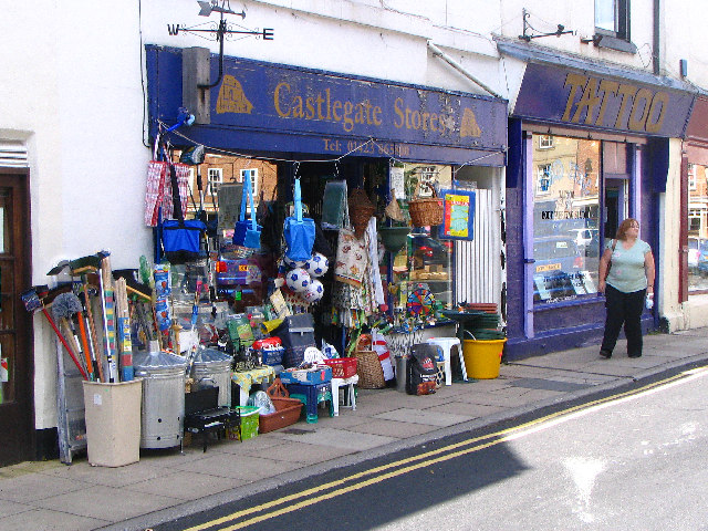
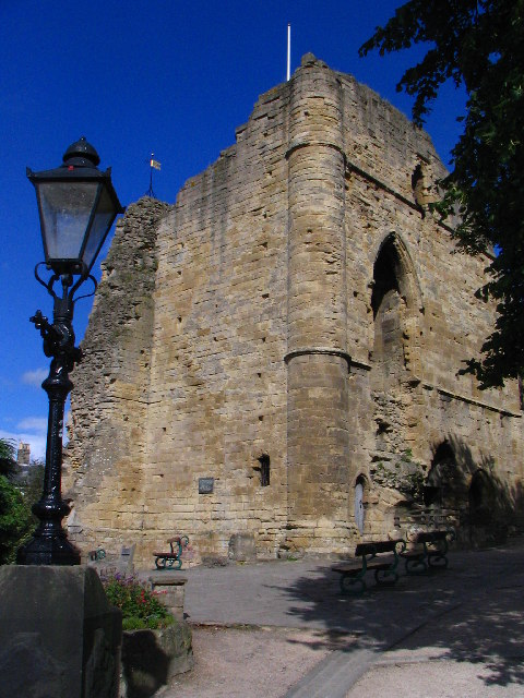
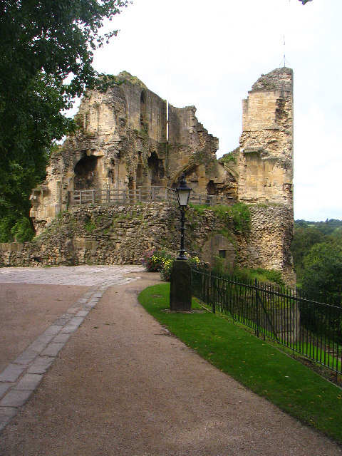
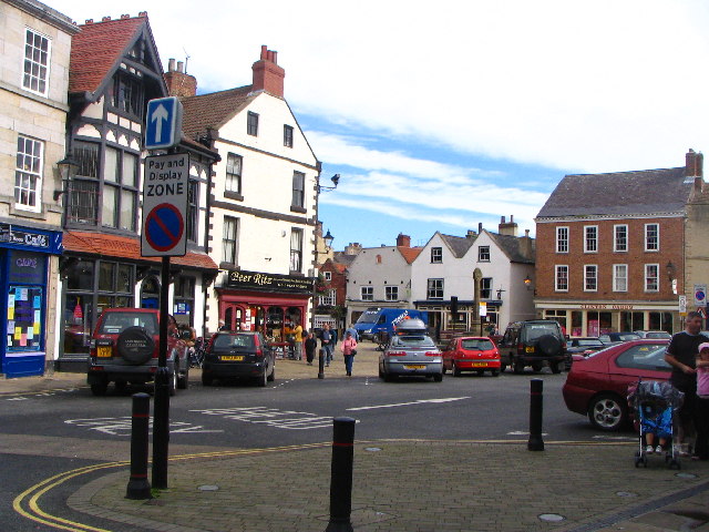
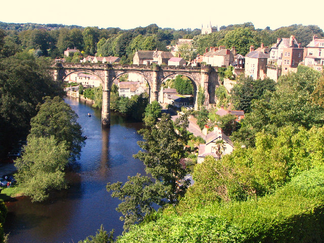
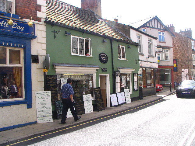
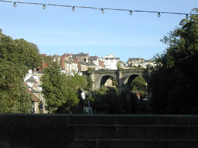
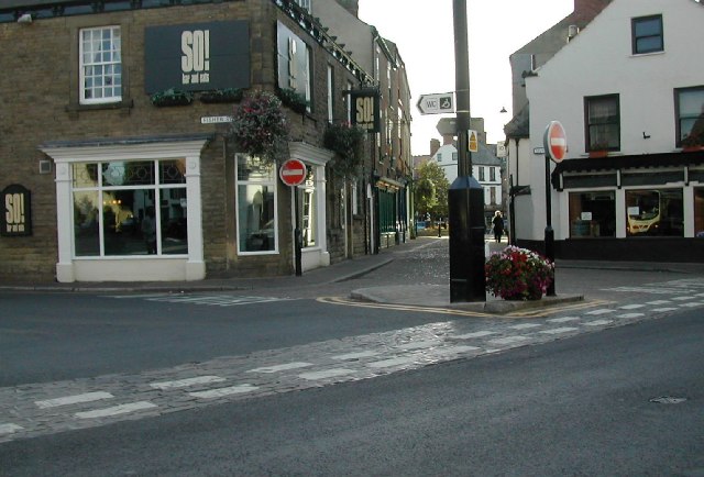
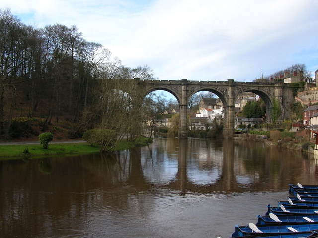
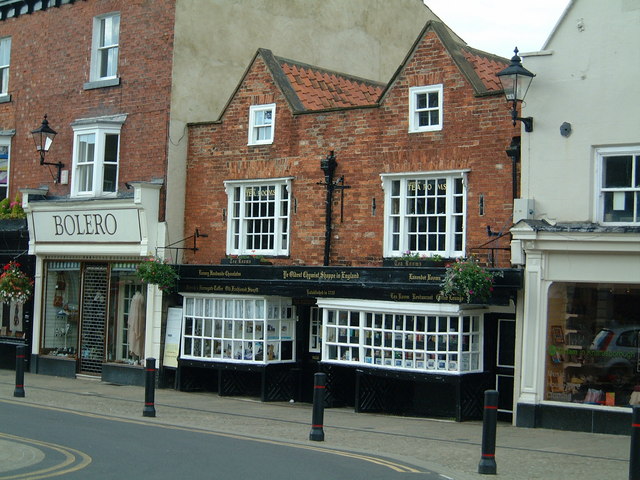
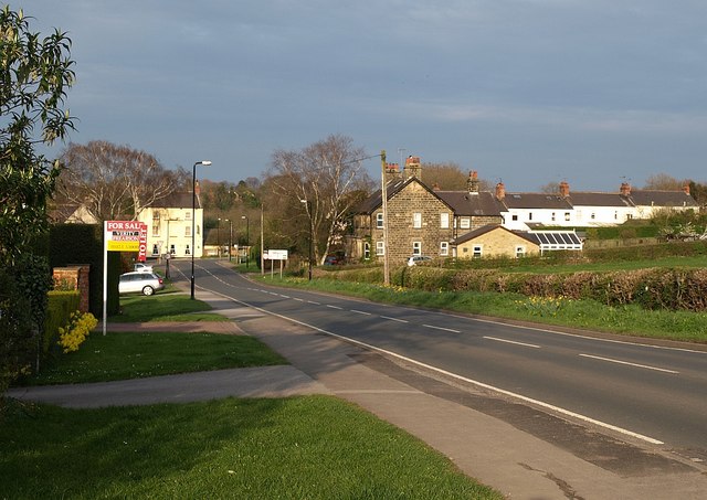
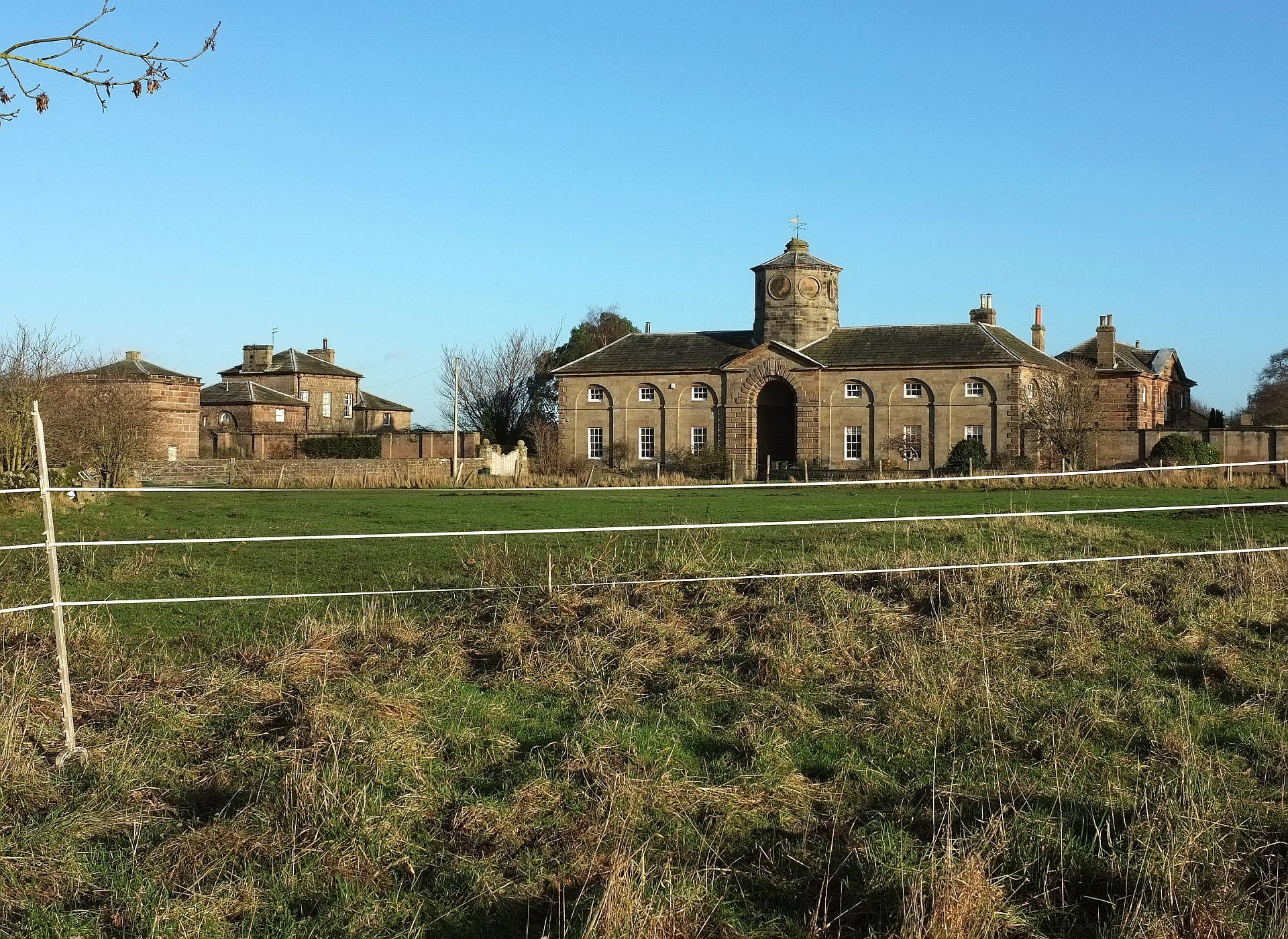
Thistle Hill Images
Images are sourced within 2km of 53.995125/-1.4658944 or Grid Reference SE3555. Thanks to Geograph Open Source API. All images are credited.


Thistle Hill is located at Grid Ref: SE3555 (Lat: 53.995125, Lng: -1.4658944)
Division: West Riding
Administrative County: North Yorkshire
District: Harrogate
Police Authority: North Yorkshire
What 3 Words
///bands.miss.clear. Near Knaresborough, North Yorkshire
Nearby Locations
Related Wikis
Calcutt, North Yorkshire
Calcutt is a village in the Harrogate district of North Yorkshire, England. == External links == Media related to Calcutt, North Yorkshire at Wikimedia...
Plompton
Plompton (formerly also spelt Plumpton) is a hamlet and civil parish south of Harrogate in North Yorkshire, England. It is close to the A661. Plompton...
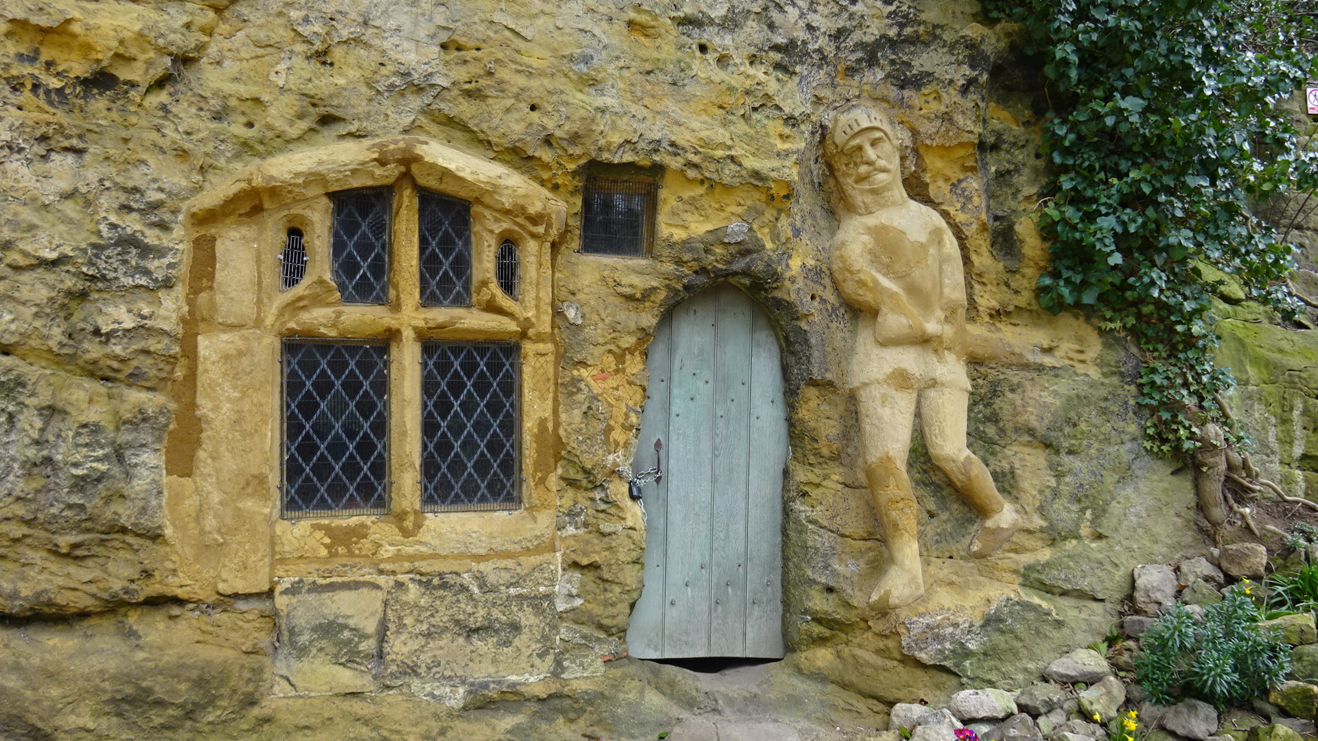
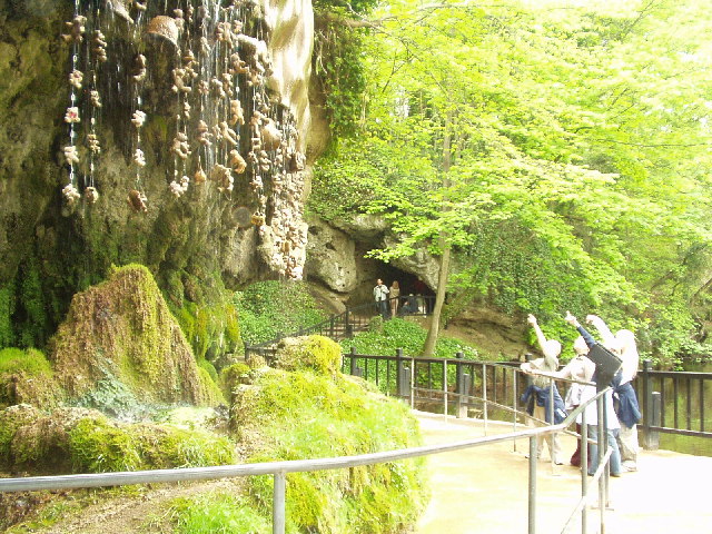
Chapel of Our Lady of the Crag
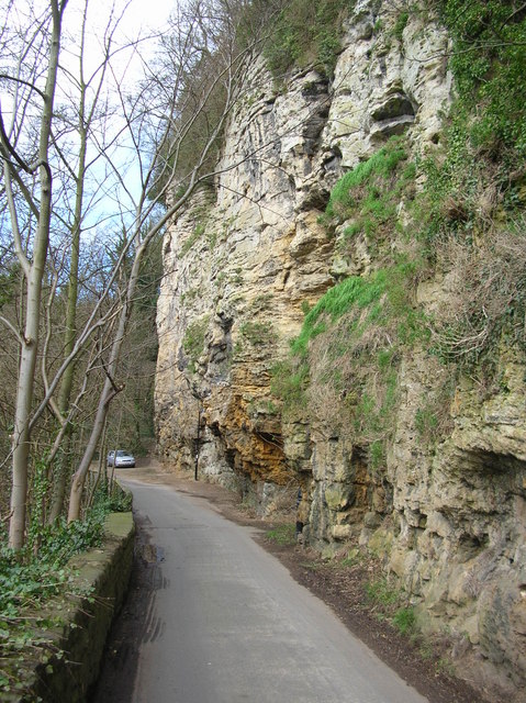
The early-fifteenth century Chapel of Our Lady of the Crag is located in an old quarry on Abbey Road beside the Nidd Gorge at Knaresborough and is an early...

Harrogate and Knaresborough (UK Parliament constituency)
Harrogate and Knaresborough () is a parliamentary constituency in North Yorkshire which has been represented in the House of Commons of the UK Parliament...
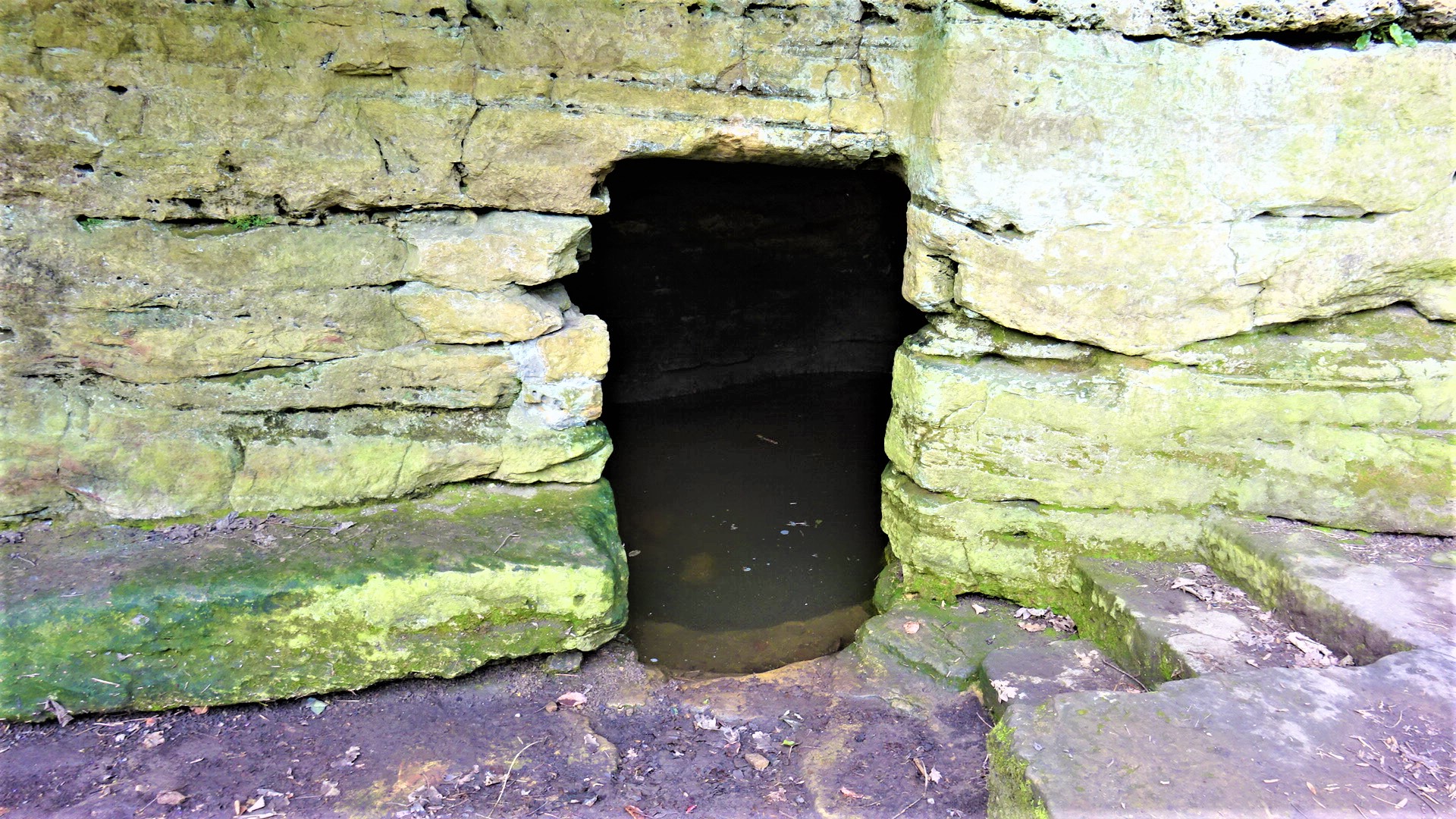
St Robert's Cave and Chapel of the Holy Cross
The early 13th century St Robert's Cave and Chapel of the Holy Cross also known with variants such as St Robert's Chapel and Chapel of the Holy Rood are...
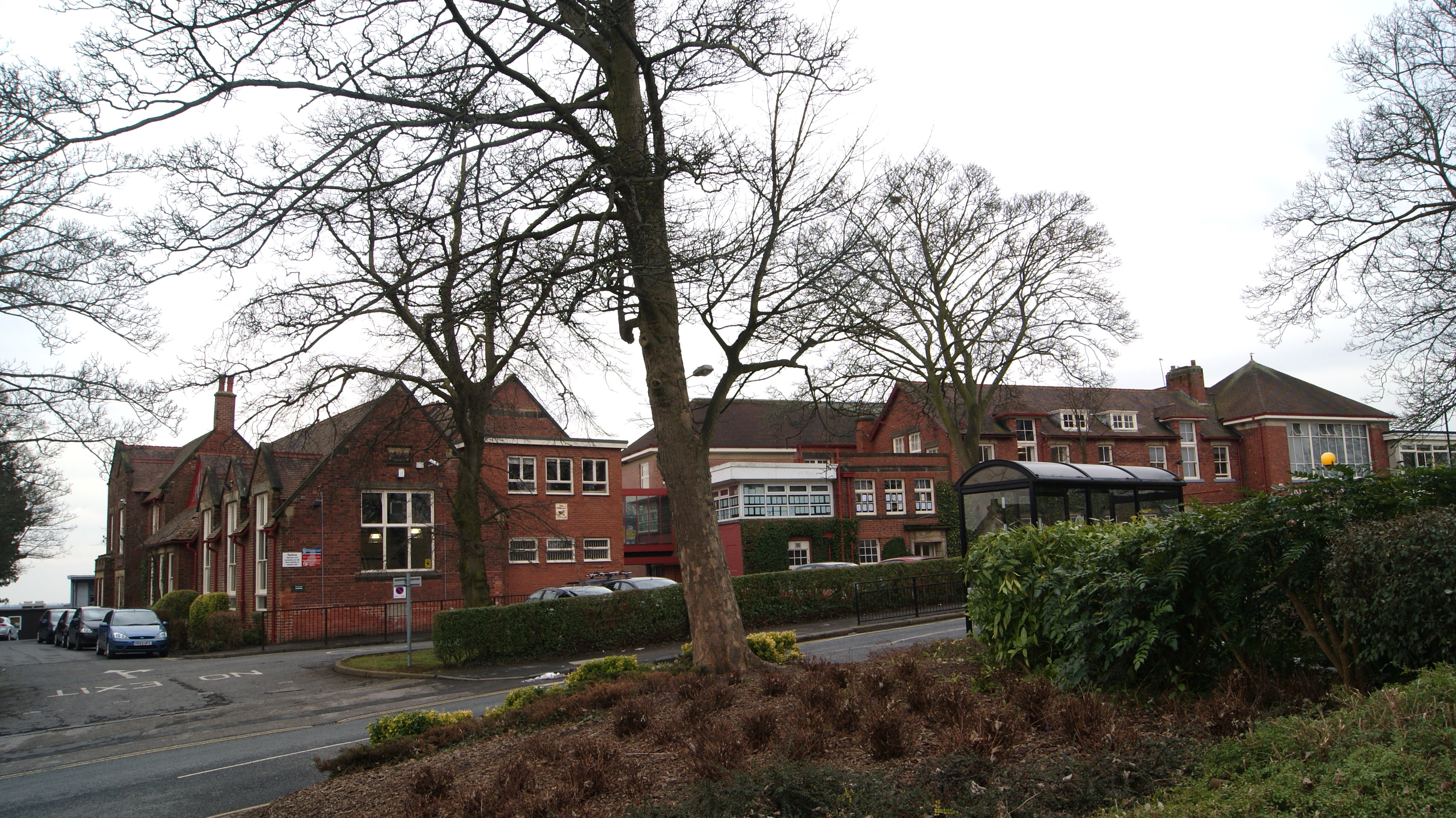
King James's School, Knaresborough
King James's School is located on King James Road, Knaresborough, North Yorkshire, England. King James's is a large non-selective school with a large sixth...
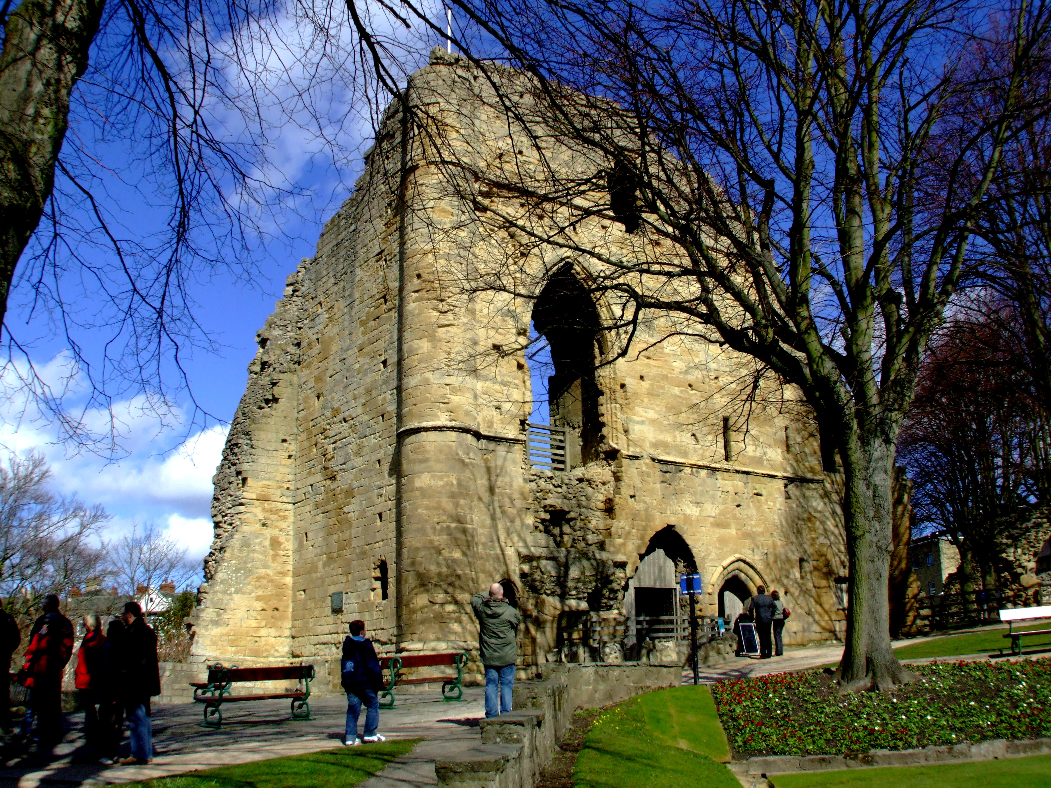
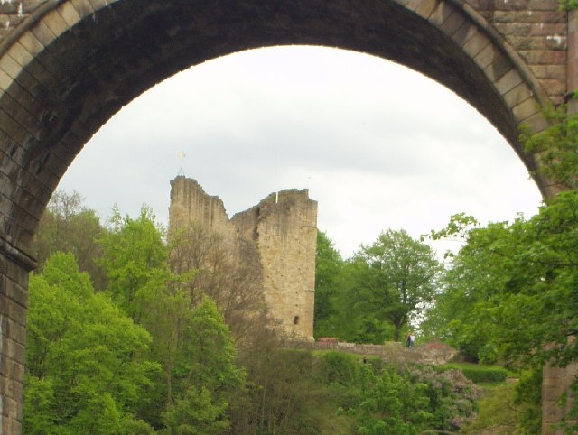
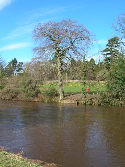
Knaresborough Castle
Knaresborough Castle is a ruined fortress overlooking the River Nidd in the town of Knaresborough, North Yorkshire, England. == History == The castle was...
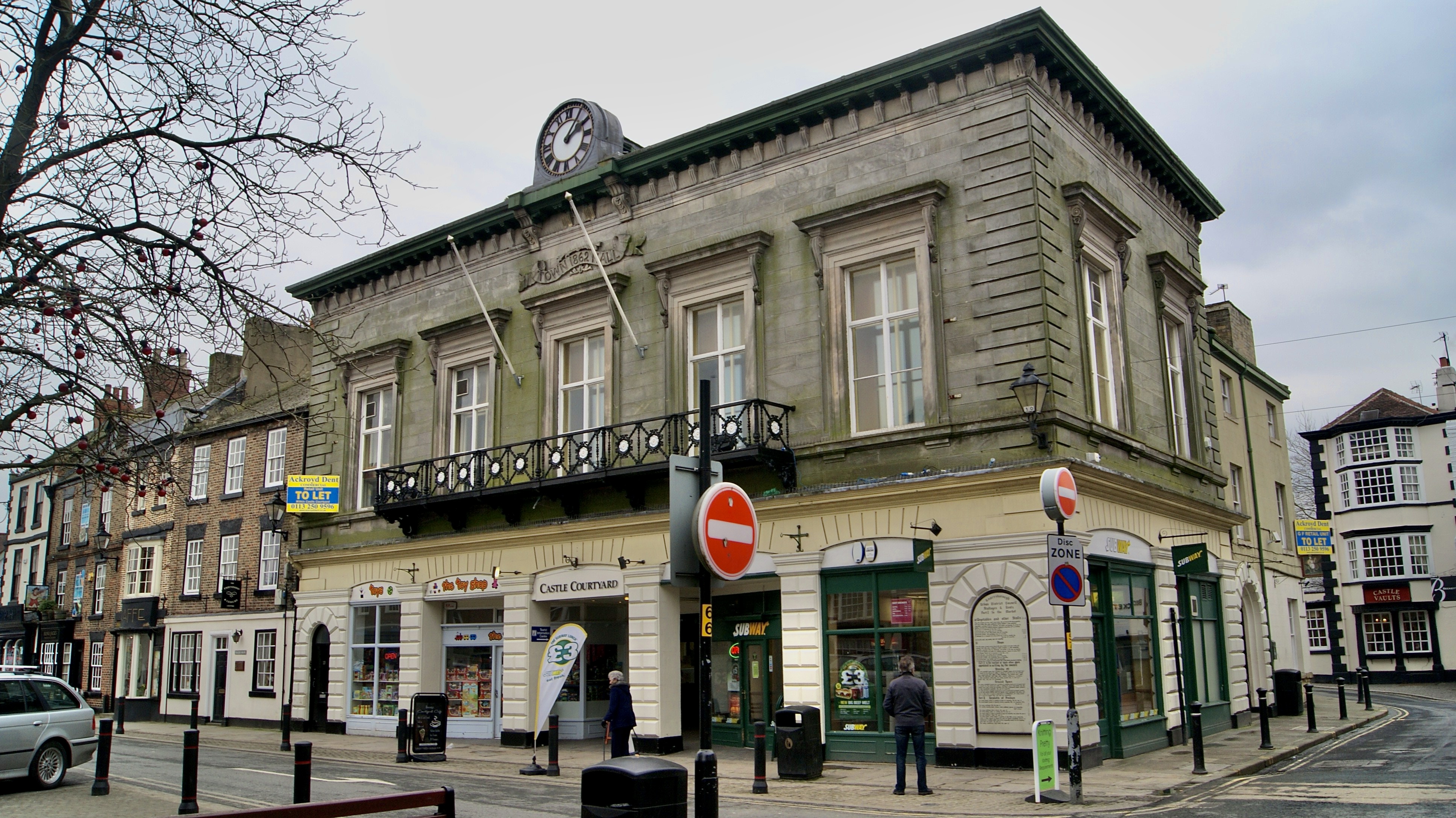
Old Town Hall, Knaresborough
The Old Town Hall is a former municipal building in the Market Place, Knaresborough, North Yorkshire, England. The structure, which was used as an events...
Nearby Amenities
Located within 500m of 53.995125,-1.4658944Have you been to Thistle Hill?
Leave your review of Thistle Hill below (or comments, questions and feedback).