Beorgs of Uyea

Hill, Mountain in Shetland

Scotland

Beorgs of Uyea

Neolithic axe factory The large rock is felsite, and was the source for stone tools. The hole to the right of it has dry stone walls and a partial roof.
Neolithic axe factory Credit: Rob Burke

Beorgs of Uyea is a prominent hill located in the Uyea Island, part of the Shetland archipelago in Scotland. Rising to an elevation of approximately 245 meters (804 feet), it is often referred to as a mountain due to its commanding presence and distinctive shape.

Situated in the northern part of Uyea Island, Beorgs of Uyea offers breathtaking panoramic views of the surrounding landscape. The hill is characterized by its rugged terrain, featuring steep slopes and rocky outcrops. Its distinct shape, resembling the profile of a sleeping giant, adds to its appeal and allure.

The hill is a popular destination for hikers and nature enthusiasts who are drawn to its natural beauty and tranquility. Hiking trails traverse its slopes, providing opportunities for both novice and experienced hikers to explore the area. It is not uncommon to spot a variety of wildlife, including seabirds, otters, and seals, as well as a diverse range of plant species along the way.

At the summit of Beorgs of Uyea, visitors are rewarded with breathtaking views of the surrounding coastline, with the North Sea stretching out into the horizon. On clear days, it is possible to catch a glimpse of neighboring islands, such as Unst and Yell.

Beorgs of Uyea offers a unique and memorable experience for those who venture to its summit, showcasing the natural beauty and rugged charm that the Shetland Islands are renowned for.

If you have any feedback on the listing, please let us know in the comments section below.

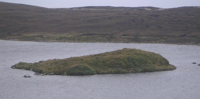
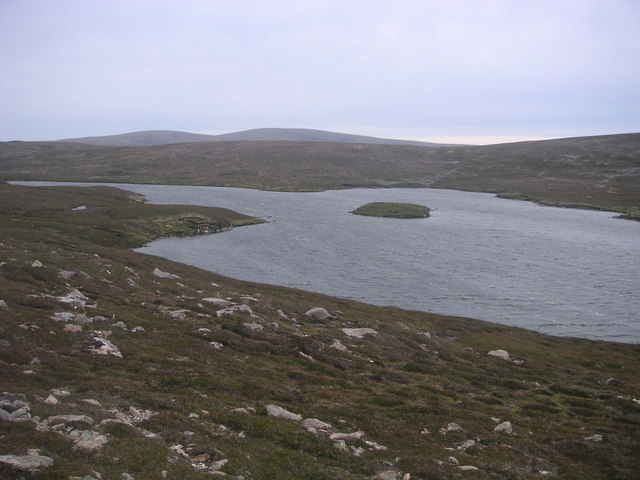
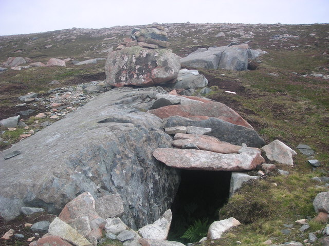
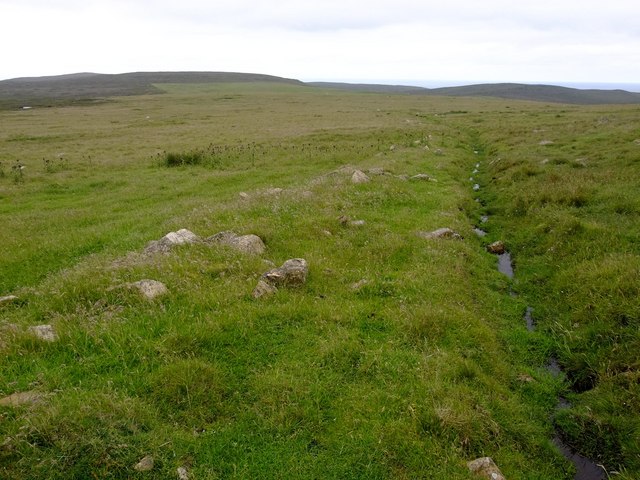
Beorgs of Uyea Images

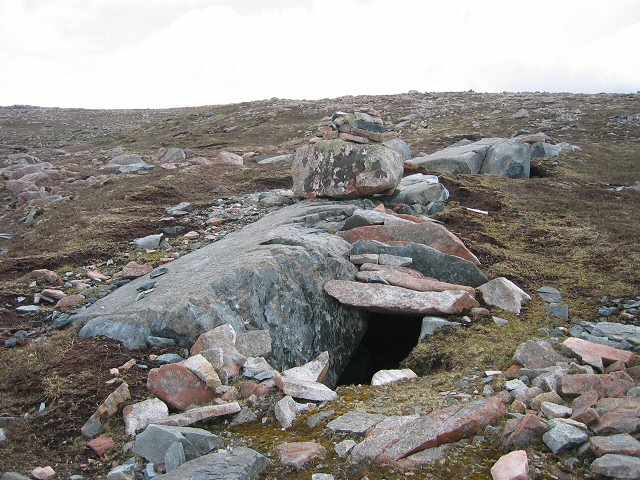
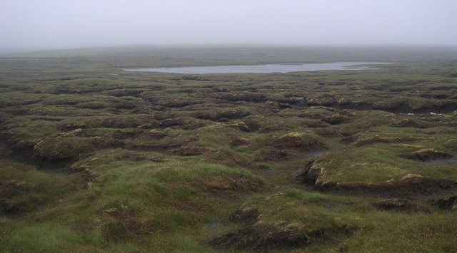
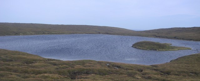
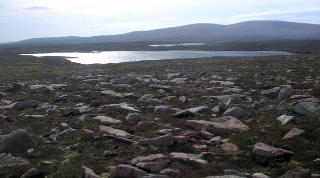
Images are sourced within 2km of 60.586892/-1.3848718 or Grid Reference HU3389. Thanks to Geograph Open Source API. All images are credited.

Neolithic axe factory The large rock is felsite, and was the source for stone tools. The hole to the right of it has dry stone walls and a partial roof.
Neolithic axe factory
The large rock is felsite, and was the source for stone tools. The hole to the right of it has dry stone walls and a partial roof.
Saefti Hill Looking from Burra Too towards the north slope of Saefti Hill. This square is all peat bog.
Saefti Hill
Looking from Burra Too towards the north slope of Saefti Hill. This square is all peat bog.
Peaty terrain Soft peaty terrain, approaching from the west to the larger of the Mill Lochs of Sandvoe.
Peaty terrain
Soft peaty terrain, approaching from the west to the larger of the Mill Lochs of Sandvoe.
Pettadale Water Small shallow loch with abundant wild brown trout. Pettadale, meaning Picts valley. Island mound.
Pettadale Water
Small shallow loch with abundant wild brown trout. Pettadale, meaning Picts valley. Island mound.
Moosa Water Rocky terrain on the approach to Moosa Water.
Moosa Water
Rocky terrain on the approach to Moosa Water.
Mill Loch Holm
Mill Loch Holm
Inniscord Loch View south from the north shore of Inniscord to Ronas Hill.
Inniscord Loch
View south from the north shore of Inniscord to Ronas Hill.
Neolithic axe factory Large rock outcrop with stone built roof, the stone of 'Felsite' was mined and used for the production of stone tools by ancient man. Tool chippings are scattered around the area.
Neolithic axe factory
Large rock outcrop with stone built roof, the stone of 'Felsite' was mined and used for the production of stone tools by ancient man. Tool chippings are scattered around the area.
Drainage ditch west of Beorgs of Skelberry When we arrived, these wet meadows were thick hundreds with Greylag geese. The wet grass provides excellent grazing sompared with the adjacent moorland
Drainage ditch west of Beorgs of Skelberry
When we arrived, these wet meadows were thick hundreds with Greylag geese. The wet grass provides excellent grazing sompared with the adjacent moorland
Summit of Beorgs of Skelberry There are many cairns and shelters on the top of this small ridge.  This OS Triangulation point almost seems to be an oversight, and is not at the highest point.
Summit of Beorgs of Skelberry
There are many cairns and shelters on the top of this small ridge. This OS Triangulation point almost seems to be an oversight, and is not at the highest point.
Track from North Roe to Beorgs of Uyea
Muckle Lunga Water
Muckle Lunga Water
Rough Track Heading east back down the rough track from the Beorgs and Ronas Hill.
Rough Track
Heading east back down the rough track from the Beorgs and Ronas Hill.
Show me another place!

Beorgs of Uyea is located at Grid Ref: HU3389 (Lat: 60.586892, Lng: -1.3848718)

Unitary Authority: Shetland Islands

Police Authority: Highlands and Islands

What 3 Words

///napped.waltz.superbly. Near Ulsta, Shetland Islands

Nearby Locations

Moosa Water Beorgs of Uyea

Related Wikis

North Roe

North Roe is a village, and protected area at the northern tip in the large Northmavine peninsula of the Mainland of Shetland, Scotland. It is a small...

Uyea, Northmavine

Uyea (Scots: Öya in Shetland dialect spelling) is an uninhabited tidal island located to the northwest of Mainland, Shetland. Uyea lies off the Northmavine...

Lang Ayre

The Lang Ayre is a beach on the west side of Ronas Hill, Northmavine, Shetland. At 1 kilometre (0.6 mi) in length it is the archipelago's longest. It is...

Fethaland

Fethaland or Fedeland (pronounced [ˈfeɪdələnd]) is an abandoned settlement at the extreme north end of Mainland, Shetland. It was the site of the largest...

Have you been to Beorgs of Uyea?

Leave your review of Beorgs of Uyea below (or comments, questions and feedback).