Barling

Settlement in Essex Rochford

England

Barling

River Roach, looking downstream from Stannets Creek
River Roach, looking downstream from Stannets Creek Credit: Mr James D

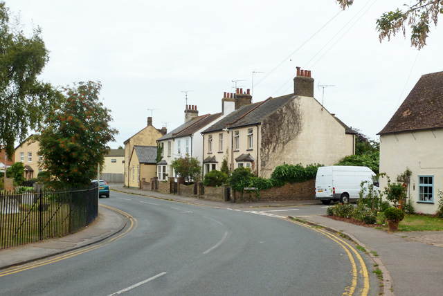
Barling is a small village located in the county of Essex, England. Situated approximately 5 miles southeast of the town of Southend-on-Sea, it is part of the borough of Rochford. Barling is nestled amidst the scenic countryside and offers a tranquil environment for its residents.

The village boasts a rich historical past, evident in its charming architecture and landmarks. St. Mary's Church, a Grade II listed building, stands as a prominent feature with its striking medieval architecture. It dates back to the 11th century and is known for its impressive stained-glass windows and ornate interior.

Despite its small size, Barling has a strong sense of community. The village has a primary school, providing education for local children, and a village hall, which serves as a hub for various community activities and events. The village also has a local pub and a few shops catering to the basic needs of the residents.

Due to its proximity to Southend-on-Sea, residents of Barling enjoy easy access to a wider range of amenities, including shopping centers, restaurants, and entertainment options. The village is well-connected by road, with the A127 and A130 offering convenient links to nearby towns and cities.

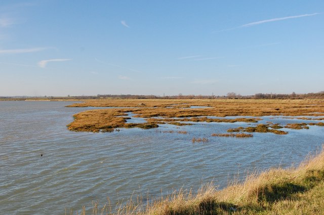
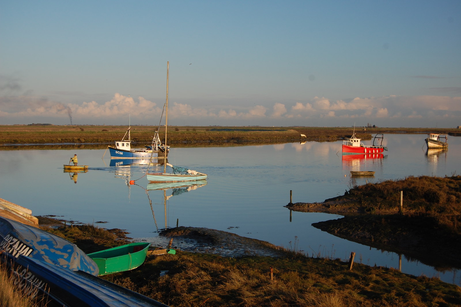
Surrounded by picturesque countryside, Barling offers opportunities for outdoor activities and leisure pursuits. The village is close to the Essex coast, providing easy access to beautiful beaches and coastal walks.

Overall, Barling is a peaceful and welcoming village, ideal for those seeking a quieter lifestyle while still having access to nearby amenities and natural beauty.

If you have any feedback on the listing, please let us know in the comments section below.
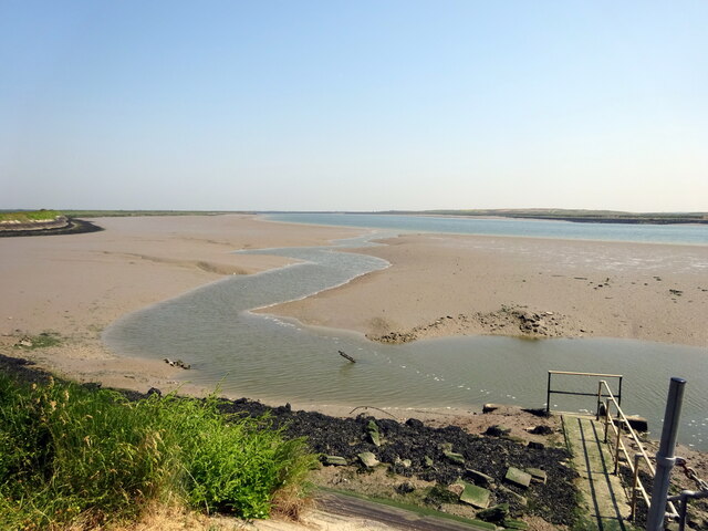
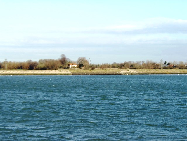
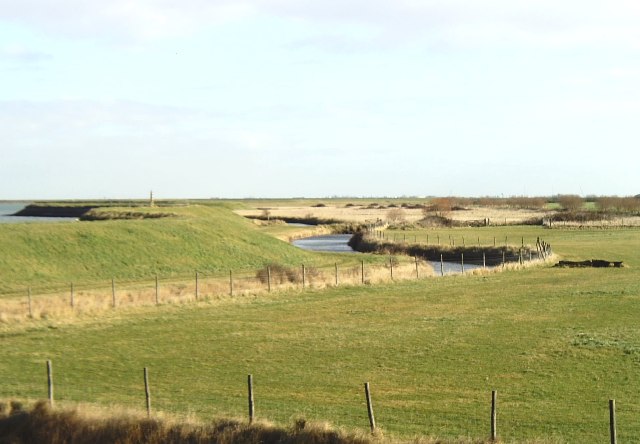
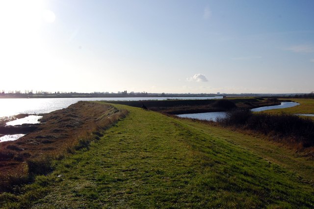
Barling Images

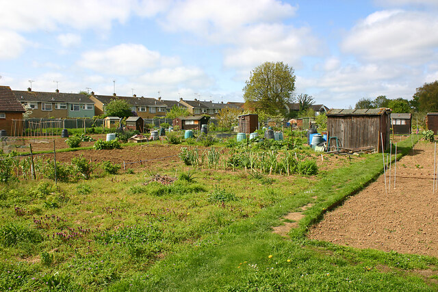
Images are sourced within 2km of 51.569061/0.78205 or Grid Reference TQ9289. Thanks to Geograph Open Source API. All images are credited.

River Roach, looking downstream from Stannets Creek
Barling Marsh Much of Barling Marsh has been given over to a landfill site and the extraction of sand and gravel. Vehicles reach the site by means of a dedicated road <a href="https://www.geograph.org.uk/gridref/TQ9288">TQ9288</a>. Taken from the berm beside Barlinghall Creek looking west.
Barling Marsh
Much of Barling Marsh has been given over to a landfill site and the extraction of sand and gravel. Vehicles reach the site by means of a dedicated road TQ9288. Taken from the berm beside Barlinghall Creek looking west.
River Roach This river is short, and in its lower reaches wide and tidal. Taken from Barling Marsh Sluice on the southern bank facing north.
River Roach
This river is short, and in its lower reaches wide and tidal. Taken from Barling Marsh Sluice on the southern bank facing north.
River bank near Barling The River Roach is on the far left and the water at the foot of the sea wall is a drainage channel. Taken near Roper's Farm looking east.
River bank near Barling
The River Roach is on the far left and the water at the foot of the sea wall is a drainage channel. Taken near Roper's Farm looking east.
Seawall Footpath, Paglesham Reach
Salt-marsh, Paglesham Reach Near Barton Hall.
Salt-marsh, Paglesham Reach
Near Barton Hall.
A flock of seagulls Gulls above the land-fill site on Barling Marsh
A flock of seagulls
Gulls above the land-fill site on Barling Marsh
Barling Marsh The northern edge of the landfill
Barling Marsh
The northern edge of the landfill
Houses on High Street, Great Wakering
High Street (B1017), Great Wakering
Little Wakering, St Mary the Virgin
Southend Road west from the Wakerings
Path from Little Wakering Road to Common Road, Great Wakering Although not on the footpath cottages and farm buildings at Little Wakering Wick can be seen ahead.
Path from Little Wakering Road to Common Road, Great Wakering
Although not on the footpath cottages and farm buildings at Little Wakering Wick can be seen ahead.
Farm buildings at Little Wakering Wick The track ahead is not a public footpath, the latter having diverged just to the right of the camera.
Farm buildings at Little Wakering Wick
The track ahead is not a public footpath, the latter having diverged just to the right of the camera.
Cottages at Little Wakering Wick As seen from the footpath from Little Wakering Road to Common Road, Great Wakering. The farmhouse itself is just out of view to the right.
Cottages at Little Wakering Wick
As seen from the footpath from Little Wakering Road to Common Road, Great Wakering. The farmhouse itself is just out of view to the right.
Forbidden access, Little Wakering The track on the left is not a public right-of-way and leads to Little Wakering Wick.  The authorised footpath on the right leads to Common Road, Great Wakering.
Forbidden access, Little Wakering
The track on the left is not a public right-of-way and leads to Little Wakering Wick. The authorised footpath on the right leads to Common Road, Great Wakering.
Little Wakering Road looking towards church The church spire can be seen protruding from a roof to the left of the left-hand pole.
Little Wakering Road looking towards church
The church spire can be seen protruding from a roof to the left of the left-hand pole.
Allotments, Little Wakering Hall Lane, Great Wakering The houses on the left are in High Street.
Allotments, Little Wakering Hall Lane, Great Wakering
The houses on the left are in High Street.
Show me another place!

Barling is located at Grid Ref: TQ9289 (Lat: 51.569061, Lng: 0.78205)

Administrative County: Essex

District: Rochford

Police Authority: Essex

What 3 Words

///free.keeps.belts. Near Great Wakering, Essex

Nearby Locations

Weir Pond Barling

Related Wikis

Barling, Essex

Barling is a village and former civil parish, now in the civil parish of Barling Magna in the Rochford district, in the county of Essex, England. It is...

White Ensign F.C.

White Ensign Football Club is a football club based in Southend-on-Sea, Essex, England. They are currently members of the Essex Senior League and play...

Great Wakering Rovers F.C.

Great Wakering Rovers Football Club is a football club located in Great Wakering, near Southend on Sea in Essex, England. The club are members of the Essex...

Alleyn Court Prep School

Alleyn Court Prep School is a co-educational day preparatory school in Westcliff-on-Sea, Essex for children up to age 11. == History == The school was...

Rochford and Southend East (UK Parliament constituency)

Rochford and Southend East is a constituency represented in the House of Commons of the UK Parliament since 2005 by Sir James Duddridge, a Conservative...

Potton Island

Potton Island is a sparsely populated island west of Foulness in Essex, England. It is connected to the mainland by a swing bridge with a traffic light...

Thorpe Hall School

Thorpe Hall School is a non-selective, coeducational independent school in Southend-on-Sea, Essex, England. The school is a member of the Independent Schools...

Great Wakering

Great Wakering is a village in the Rochford District in Essex, England. It is approximately four miles east of Southend. Great Wakering consists mainly...

Nearby Amenities

Located within 500m of 51.569061,0.78205
Source: PGS
Lat/Long: 51.5666267/0.785623
Source: PGS
Lat/Long: 51.5672536/0.7864599
Source: PGS
Lat/Long: 51.5674403/0.7864384
Source: PGS
Lat/Long: 51.5675603/0.7868247
Source: PGS
Lat/Long: 51.567427/0.788434
Bus Stop
Carpenters
Naptan AtcoCode: 15001101307
Naptan Bearing: N
Naptan CommonName: Carpenters
Naptan Indicator: Adj
Naptan Landmark: Carpenters
Naptan NaptanCode: esxagmwa
Naptan PlusbusZoneRef: STHCENT
Naptan Street: Little Wakering Road
Naptan Verified: no
Public Transport: platform
Source: naptan_import
Lat/Long: 51.5649522/0.7841544
Bus Stop
Magnolia House
Naptan AtcoCode: 15001101308
Naptan Bearing: N
Naptan CommonName: Magnolia House
Naptan Indicator: o/s
Naptan Landmark: Magnolia House
Naptan NaptanCode: esxagmwd
Naptan PlusbusZoneRef: STHCENT
Naptan Street: Little Wakering Road
Naptan Verified: no
Public Transport: platform
Source: naptan_import
Lat/Long: 51.5674046/0.7839002
Carpenters
Naptan AtcoCode: 1500110130Y7
Naptan Bearing: S
Naptan BusStopType: CUS
Naptan CommonName: Carpenters
Naptan Indicator: Opp
Naptan Landmark: Carpenters
Naptan NaptanCode: esxgpjwj
Naptan PlusbusZoneRef: STHCENT
Naptan Street: Little Wakering Road
Naptan Verified: no
Public Transport: platform
Source: naptan_import
Lat/Long: 51.5649588/0.7842558
Bus Stop
Pear Tree Nurseries
Naptan AtcoCode: 15001101311
Naptan Bearing: SW
Naptan CommonName: Pear Tree Nurseries
Naptan Indicator: o/s
Naptan Landmark: Pear Tree Nurseries
Naptan NaptanCode: esxagmwm
Naptan PlusbusZoneRef: STHCENT
Naptan Street: Barling Road
Naptan Verified: no
Public Transport: platform
Source: naptan_import
Lat/Long: 51.5687596/0.7768247
Pear Tree Nurseries
Naptan AtcoCode: 150011013Y1
Naptan Bearing: NE
Naptan BusStopType: CUS
Naptan CommonName: Pear Tree Nurseries
Naptan Indicator: Opp
Naptan Landmark: Pear Tree Nurseries
Naptan NaptanCode: esxgptjd
Naptan PlusbusZoneRef: STHCENT
Naptan Street: Barling Road
Naptan Verified: no
Public Transport: platform
Source: naptan_import
Lat/Long: 51.5687799/0.7767249
Magnolia House
Naptan AtcoCode: 150011013Y8
Naptan Bearing: S
Naptan BusStopType: CUS
Naptan CommonName: Magnolia House
Naptan Indicator: Opp
Naptan Landmark: Magnolia House
Naptan NaptanCode: esxgpjwt
Naptan PlusbusZoneRef: STHCENT
Naptan Street: Little Wakering Road
Naptan Verified: no
Public Transport: platform
Source: naptan_import
Lat/Long: 51.5674202/0.7840022
Bus Stop
Weir Pond Corner
Naptan AtcoCode: 1500IM1225
Naptan Bearing: S
Naptan CommonName: Weir Pond Corner
Naptan Crossing: Barling Road
Naptan Indicator: S-bound
Naptan Landmark: Weir Pond Corner
Naptan NaptanCode: esxagmwj
Naptan PlusbusZoneRef: STHCENT
Naptan Street: Little Wakering Road
Naptan Verified: no
Public Transport: platform
Source: naptan_import
Lat/Long: 51.5705371/0.7834134
Bus Stop
Weir Pond Corner
Naptan AtcoCode: 1500IM1225A
Naptan Bearing: N
Naptan CommonName: Weir Pond Corner
Naptan Crossing: Barling Road
Naptan Indicator: N-bound
Naptan Landmark: Weir Pond Corner
Naptan NaptanCode: esxagmwg
Naptan PlusbusZoneRef: STHCENT
Naptan Street: Little Wakering Road
Naptan Verified: no
Public Transport: platform
Source: naptan_import
Lat/Long: 51.5703578/0.783388
Barling
Place: hamlet
Wikidata: Q3216964
Lat/Long: 51.5713101/0.7848176
Barling Magna Airstrip
Aeroway: aerodrome
Lat/Long: 51.57063/0.7787502
Colour: red and white
Inscription: GAS LTS HP GAS PIPELINE
Marker: aerial
Material: plastic
Utility: gas
Lat/Long: 51.5700777/0.7797239
Colour: yellow
Inscription: GAS LTS HP GAS PIPELINE
Marker: post
Material: plastic
Utility: gas
Lat/Long: 51.5700683/0.7797268
Colour: yellow
Inscription: GAS
Marker: post
Material: concrete
Utility: gas
Lat/Long: 51.5700776/0.7797369
Colour: red and white
Inscription: GAS LTS HP GAS PIPELINE
Marker: aerial
Material: plastic
Utility: gas
Lat/Long: 51.5699822/0.7797529
Colour: yellow
Inscription: GAS
Marker: post
Material: concrete
Utility: gas
Lat/Long: 51.5699922/0.7797499
The data included in this document is from www.openstreetmap.org. The data is made available under ODbL.

Have you been to Barling?

Leave your review of Barling below (or comments, questions and feedback).