Castle Hill
Hill, Mountain in Warwickshire Stratford-on-Avon
England
Castle Hill
Castle Hill is a prominent landmark located in Warwickshire, England. Situated in the heart of the county, it stands at an impressive height of 208 meters (682 feet) above sea level. The hill is known for its historical significance and its commanding views of the surrounding countryside.
The name "Castle Hill" derives from the remnants of a medieval motte-and-bailey castle that once stood on its summit. Although the castle itself no longer exists, the earthworks and foundations can still be seen, providing a glimpse into the area's rich history.
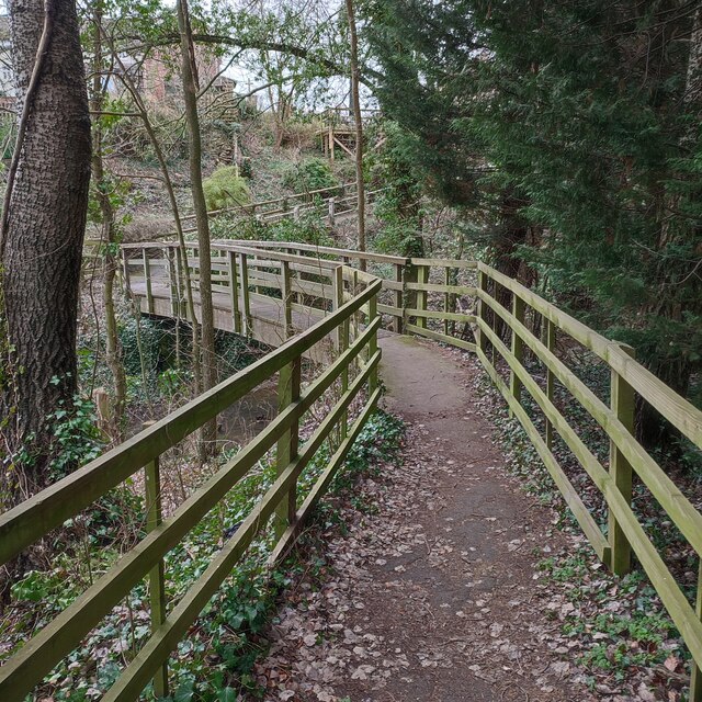
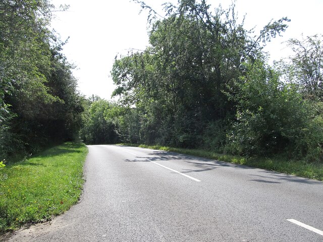
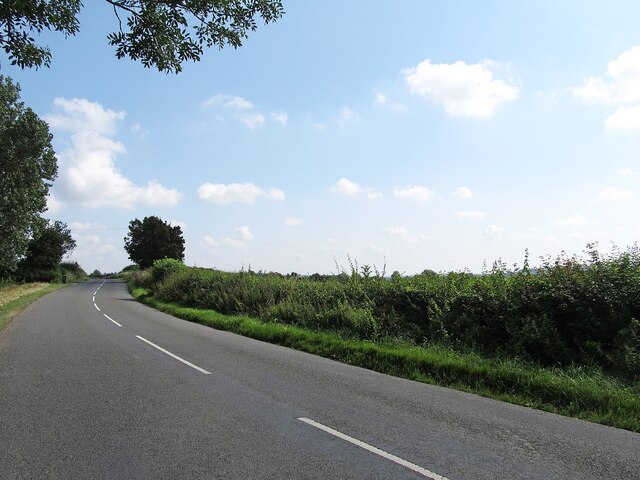
The hill is covered in lush green vegetation, with a variety of trees and shrubs dotting its slopes. It is a popular destination for nature enthusiasts and hikers, who are drawn by its scenic beauty and tranquil atmosphere. Walking trails crisscross the hill, offering visitors the opportunity to explore the area and enjoy the breathtaking vistas.
At the top of Castle Hill, there is a viewing platform that provides panoramic views of the Warwickshire countryside. On a clear day, one can see as far as the Cotswolds to the south and the Birmingham skyline to the north. The hill's strategic location has made it a vantage point throughout history, offering a commanding view of the surrounding area.
Castle Hill is not only a natural beauty but also an important historical site. It encapsulates the rich heritage of Warwickshire and serves as a reminder of the region's past. Whether it be for a peaceful stroll or an exploration of the area's history, Castle Hill offers a captivating experience for all who visit.
If you have any feedback on the listing, please let us know in the comments section below.
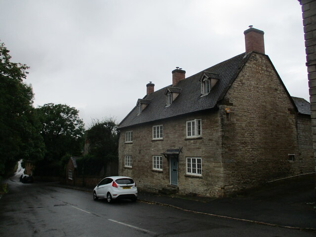
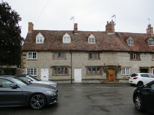
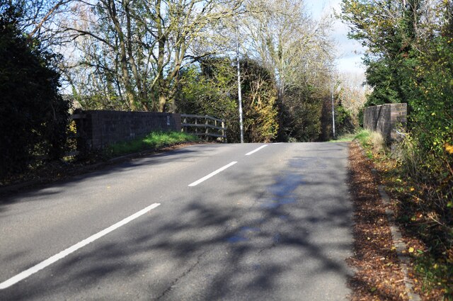
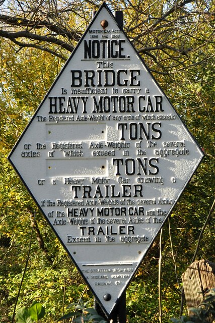
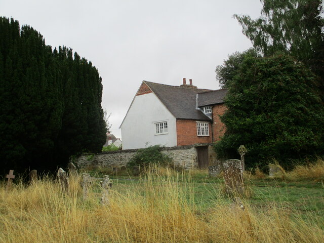
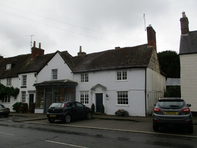
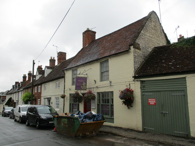
Castle Hill Images
Images are sourced within 2km of 52.155865/-1.5189397 or Grid Reference SP3350. Thanks to Geograph Open Source API. All images are credited.


Castle Hill is located at Grid Ref: SP3350 (Lat: 52.155865, Lng: -1.5189397)
Administrative County: Warwickshire
District: Stratford-on-Avon
Police Authority: Warwickshire
What 3 Words
///justifies.unfocused.plod. Near Gaydon, Warwickshire
Nearby Locations
Related Wikis

Kineton railway station
Kineton railway station was a railway station that served the village of Kineton, Warwickshire, England. == History == Opened on 1 June 1871, the station...

Kineton
Kineton is a village and civil parish on the River Dene in south-east Warwickshire, England. The village is part of Stratford-on-Avon district, and in...

Kineton High School
Kineton High School is a mixed secondary school located in South Warwickshire, England within the village of Kineton. It is a non-selective academy school...
Butlers Marston
Butlers Marston is a village and civil parish on the River Dene in south-eastern Warwickshire, England. The village is part of Stratford-on-Avon district...
Combrook
Combrook (also spelt Combroke and - more rarely - Combrooke) is a small village of about 65 houses in rural Warwickshire, located near the junction of...

Battle of Edgehill
The Battle of Edgehill (or Edge Hill) was a pitched battle of the First English Civil War. It was fought near Edge Hill and Kineton in southern Warwickshire...
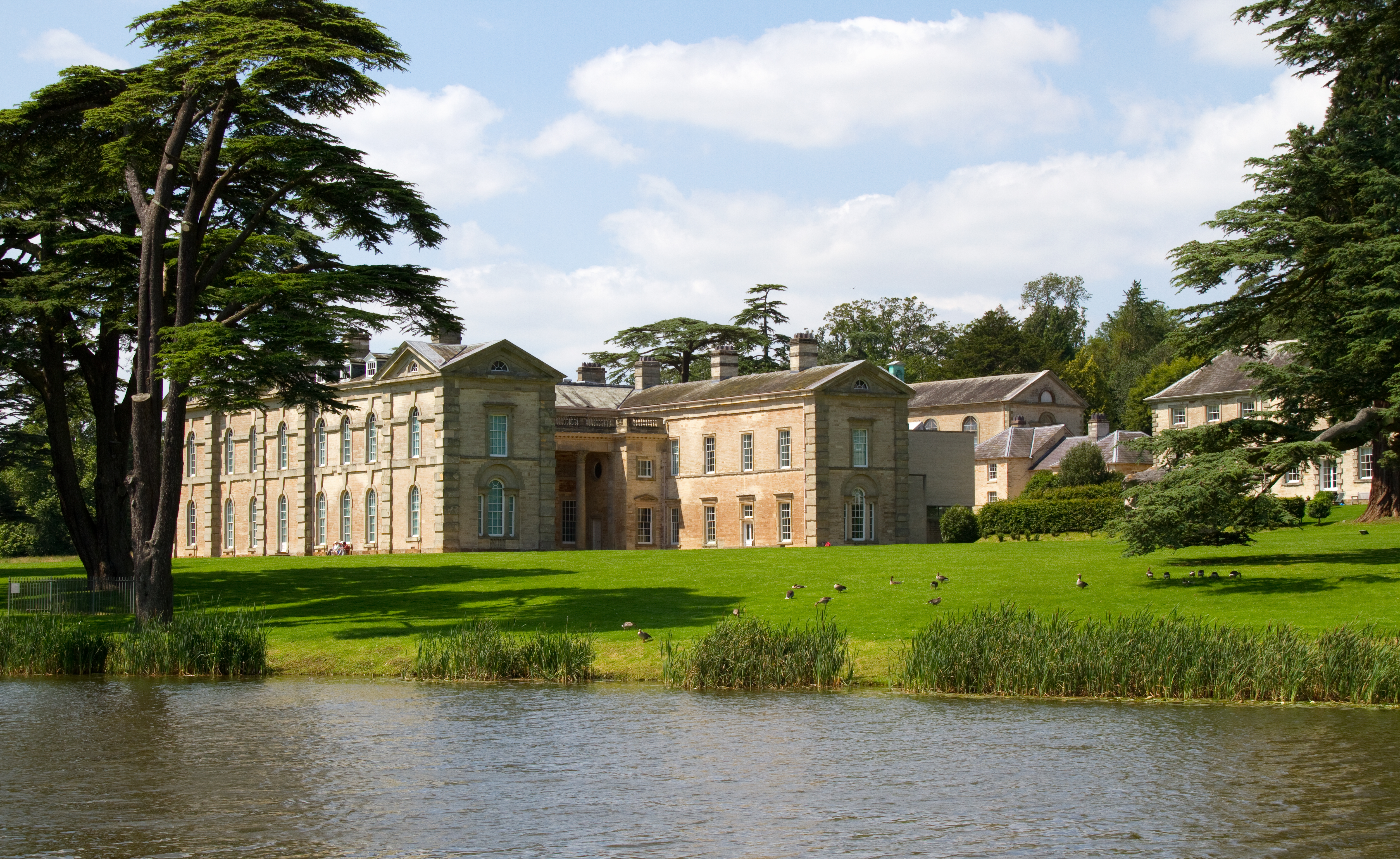
Compton Verney House
Compton Verney House (grid reference SP312529) is an 18th-century country mansion at Compton Verney near Kineton in Warwickshire, England. It is located...

Compton Verney
Compton Verney is a parish and historic manor in the county of Warwickshire, England. The population taken at the 2011 census was 119. The surviving manor...
Nearby Amenities
Located within 500m of 52.155865,-1.5189397Have you been to Castle Hill?
Leave your review of Castle Hill below (or comments, questions and feedback).