Row Hill
Hill, Mountain in Hampshire New Forest
England
Row Hill
Row Hill is a prominent hill located in Hampshire, England. Situated in the South Downs National Park, it offers breathtaking views of the surrounding countryside. With an elevation of approximately 188 meters, it is not considered a mountain but rather a hill.
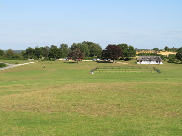
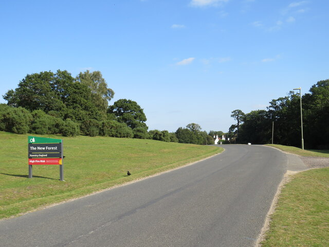
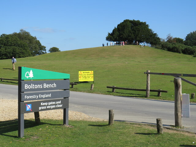
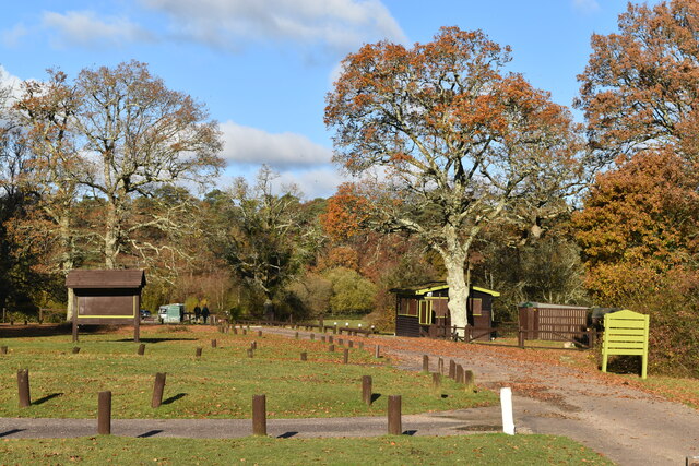
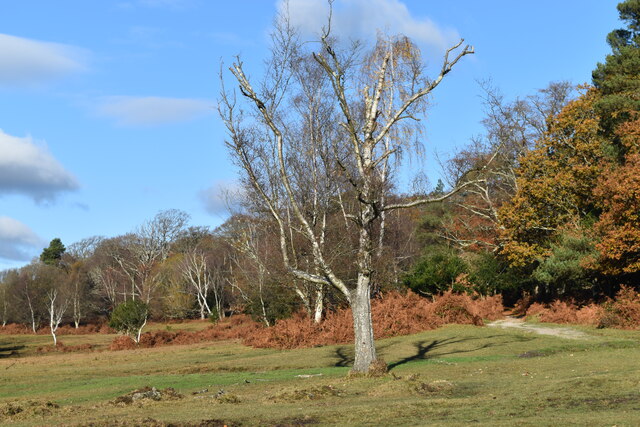
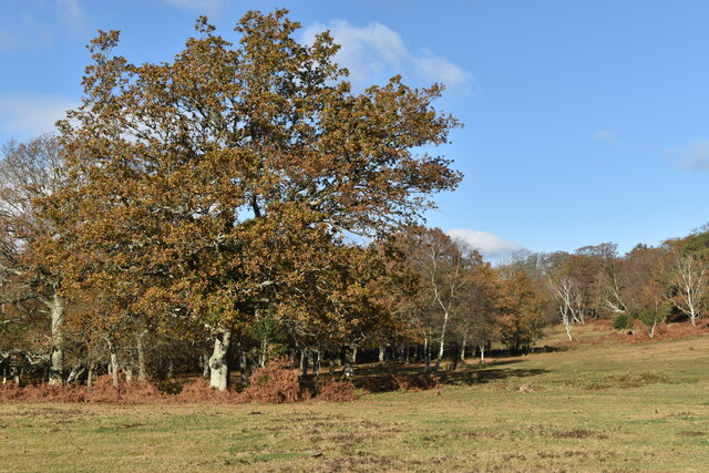
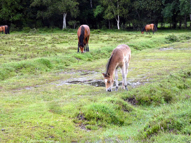
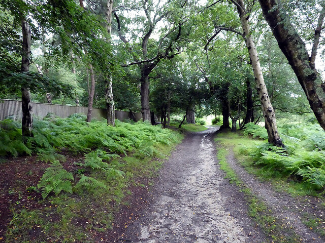
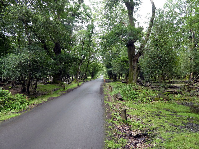
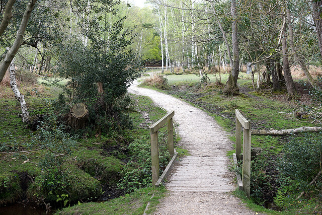
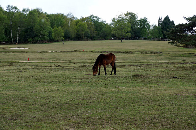
The hill is characterized by its gentle slopes and grassy terrain, making it an ideal location for outdoor activities such as hiking and nature walks. It is home to a diverse range of flora and fauna, including wildflowers, birds, and small mammals. The hill's natural beauty and tranquility attract both locals and tourists alike, providing a peaceful escape from the bustling city life.
The summit of Row Hill provides panoramic views of the Hampshire countryside, with rolling hills and picturesque villages visible in the distance. On a clear day, it is even possible to see the Isle of Wight across the Solent. The hill is particularly popular among photographers and nature enthusiasts, who capture its beauty in all seasons.
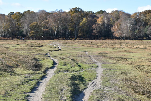
There are several walking trails that lead up to Row Hill, catering to different levels of difficulty. These trails offer visitors the opportunity to explore the surrounding area and take in the stunning scenery. Additionally, there are designated picnic areas where visitors can enjoy a meal while admiring the views.
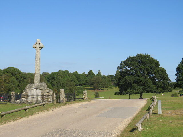
Row Hill is not only a natural attraction but also a site of historical significance. The area is dotted with archaeological remains, including ancient burial mounds and Iron Age hillforts, providing insights into the region's rich past.
Overall, Row Hill in Hampshire is a charming destination that offers both natural beauty and historical interest, making it a must-visit location for outdoor enthusiasts and history buffs alike.
If you have any feedback on the listing, please let us know in the comments section below.
Row Hill Images
Images are sourced within 2km of 50.874574/-1.5455744 or Grid Reference SU3208. Thanks to Geograph Open Source API. All images are credited.
Row Hill is located at Grid Ref: SU3208 (Lat: 50.874574, Lng: -1.5455744)
Administrative County: Hampshire
District: New Forest
Police Authority: Hampshire
What 3 Words
///flag.mason.replaying. Near Lyndhurst, Hampshire
Nearby Locations
Related Wikis

Wessex Institute of Technology
The Wessex Institute of Technology (usually referred to as just Wessex Institute or WIT) is an educational and research institute. WIT is located at Ashurst...

Matley Bog
Matley Bog is an ancient woodland bog in the New Forest, Hampshire, England. == Geography == It is a sphagnum quaking bog with adjacent heather heathland...
Glasshayes
Glasshayes House is a historic country house in Lyndhurst, in The New Forest, Hampshire. Used in the 20th century as the Grand Hotel, then the Lyndhurst...

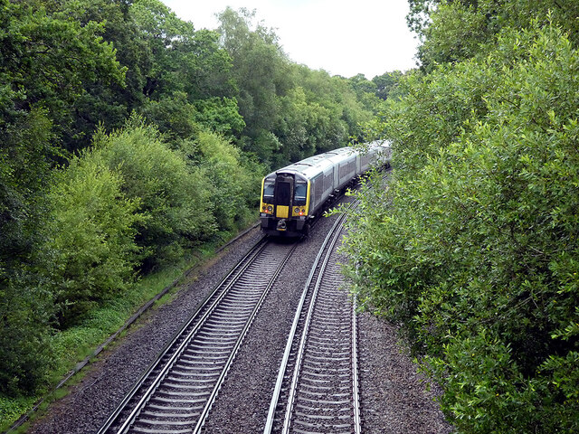
Ashurst New Forest railway station
Ashurst New Forest railway station is in Ashurst, Hampshire, England, on the South West Main Line from London Waterloo to Weymouth. It is 85 miles 43 chains...

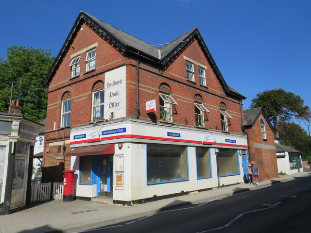
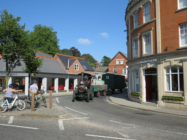
Lyndhurst, Hampshire
Lyndhurst is a large village and civil parish situated in the New Forest National Park in Hampshire, England, about nine miles (14 km) south-west of Southampton...

Ashurst, Hampshire
Ashurst is a village in the New Forest district of Hampshire, England, which together with Colbury hamlet makes the parish of Ashurst and Colbury. Ashurst...
Woodlands, Hampshire
Woodlands is a village in the New Forest National Park of Hampshire, England. The village lies 6 miles (9.7 km) west from Southampton and 2+3⁄4 miles...

Christ Church, Emery Down
Christ Church is a Church of England church in Emery Down, Hampshire, England. It was designed by William Butterfield and constructed in 1863–64. The church...
Nearby Amenities
Located within 500m of 50.874574,-1.5455744Have you been to Row Hill?
Leave your review of Row Hill below (or comments, questions and feedback).