Barcote Hill
Hill, Mountain in Berkshire Vale of White Horse
England
Barcote Hill
Barcote Hill is a small hill located in the county of Berkshire, England. Situated near the village of Fawley, it forms part of the Chiltern Hills, a designated Area of Outstanding Natural Beauty. With its modest elevation of approximately 152 meters (500 feet), Barcote Hill offers panoramic views of the surrounding countryside and is a popular spot for locals and tourists alike.
Covered in lush greenery, the hill is predominantly made up of chalk and flint, typical of the geology found in the Chiltern Hills. The grassy slopes are dotted with trees, providing shade and creating a tranquil atmosphere for visitors to enjoy. During spring, the hillside bursts into a riot of colors as wildflowers bloom, adding to its natural beauty.
Access to Barcote Hill is relatively easy, with footpaths and trails leading up to the summit. The hill is a favorite destination for hikers and nature enthusiasts, who can take advantage of the well-marked paths to explore the area. From the top, breathtaking views extend across the rolling countryside, with landmarks such as the nearby River Thames and the distant Berkshire Downs visible on clear days.
Barcote Hill is not only a place of natural beauty but also of historical significance. The surrounding area is known to have been inhabited since ancient times, with evidence of Iron Age settlements and Roman occupation nearby. This rich history adds an extra layer of interest to the hill and its surroundings.
In conclusion, Barcote Hill in Berkshire is a picturesque and accessible destination, offering stunning views, diverse flora, and a glimpse into the region's past. It is a place where nature enthusiasts and history lovers can come together to appreciate the beauty and heritage of this charming hill.
If you have any feedback on the listing, please let us know in the comments section below.
Barcote Hill Images
Images are sourced within 2km of 51.676593/-1.5382771 or Grid Reference SU3297. Thanks to Geograph Open Source API. All images are credited.


Barcote Hill is located at Grid Ref: SU3297 (Lat: 51.676593, Lng: -1.5382771)
Administrative County: Oxfordshire
District: Vale of White Horse
Police Authority: Thames Valley
What 3 Words
///slacker.aquatic.defaults. Near Faringdon, Oxfordshire
Nearby Locations
Related Wikis

St Hugh's School, Faringdon
St Hugh's School is a preparatory school near Faringdon in Oxfordshire. The school is co-educational, day and boarding, offering both weekly and flexi...
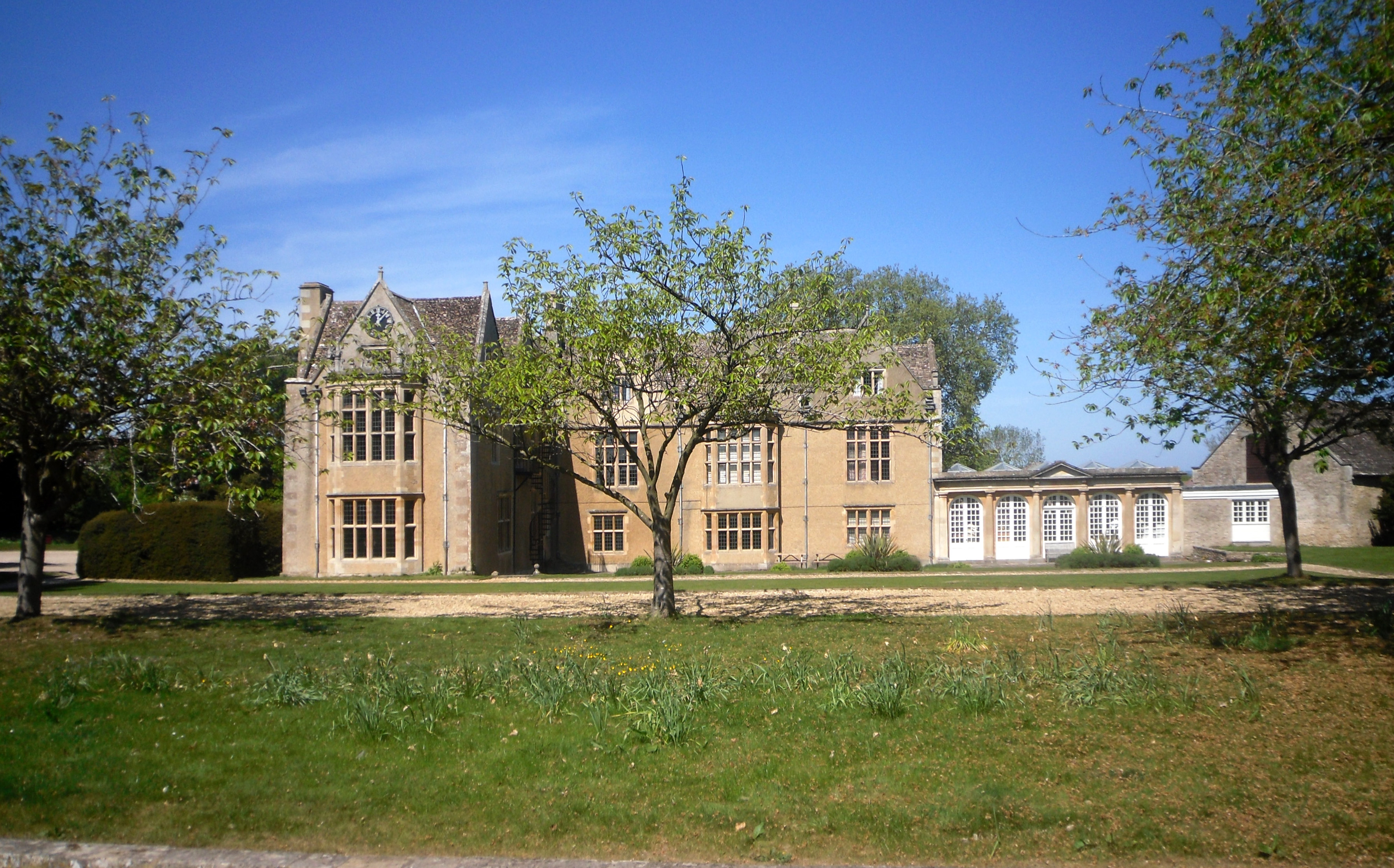
Carswell Manor
Carswell Manor is a Jacobean country house at Carswell in the civil parish of Buckland in the English county of Oxfordshire (formerly in Berkshire). It...
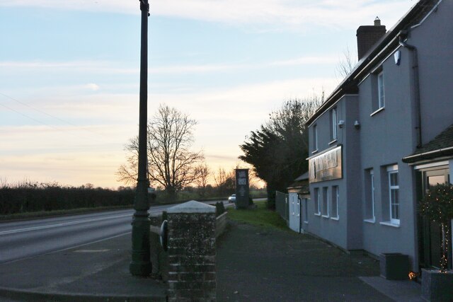
Littleworth, Vale of White Horse
Littleworth is a small village and civil parish off the A420, almost 2 miles (3 km) northeast of Faringdon. It was part of Berkshire until the 1974 boundary...

Buckland Warren
Buckland Warren is a 0.04-hectare (0.099-acre) biological Site of Special Scientific Interest (SSSI) east of Faringdon in Oxfordshire.This narrow strip...
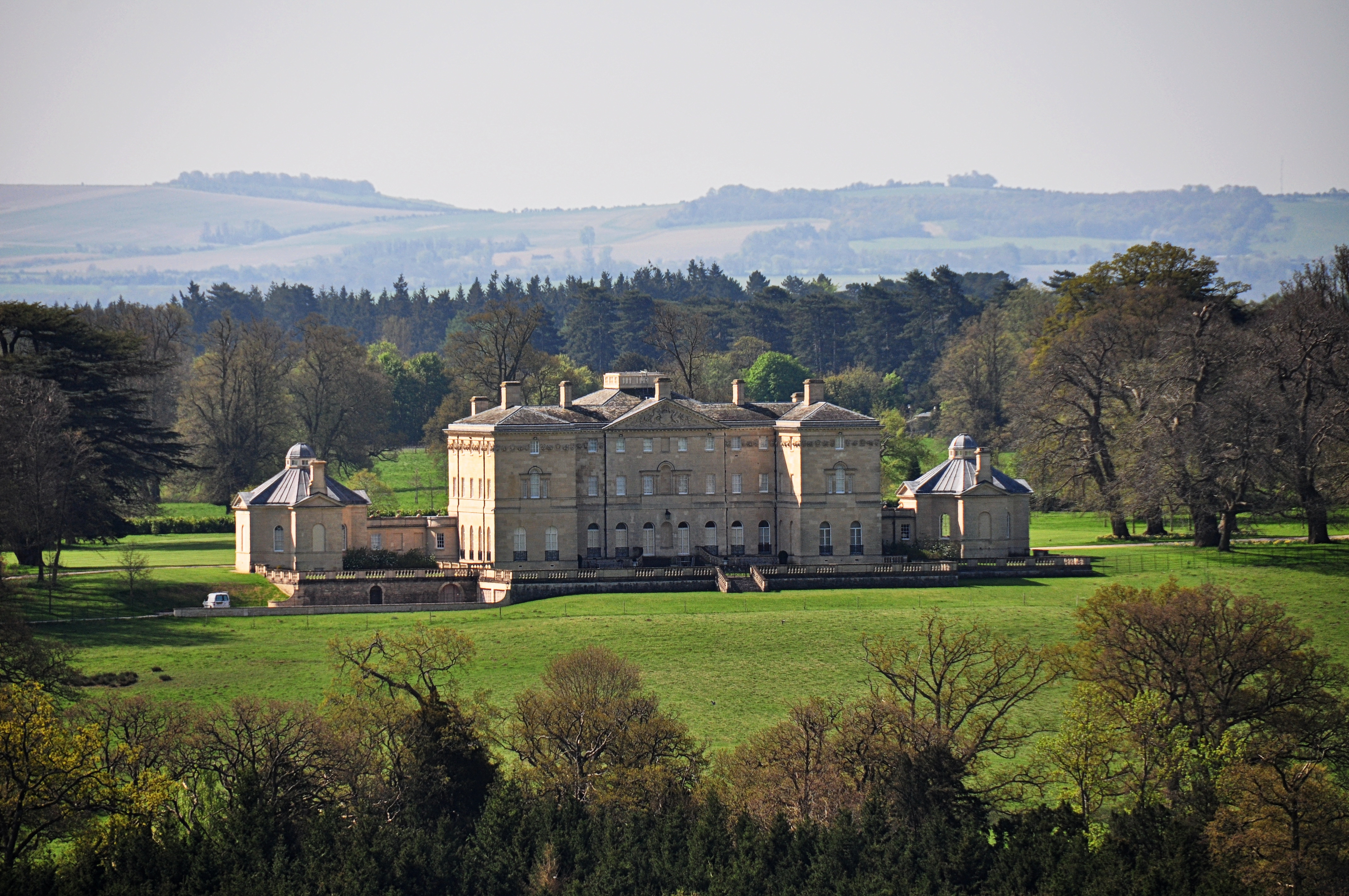
Buckland House
Buckland House is a large Georgian stately home, the manor house of Buckland in Oxfordshire, England (formerly in Berkshire). It is a masterpiece of Palladian...

Buckland, Oxfordshire
Buckland is a village and large civil parish about 4 miles (6.4 km) northeast of Faringdon in the Vale of White Horse District. Buckland was part of Berkshire...
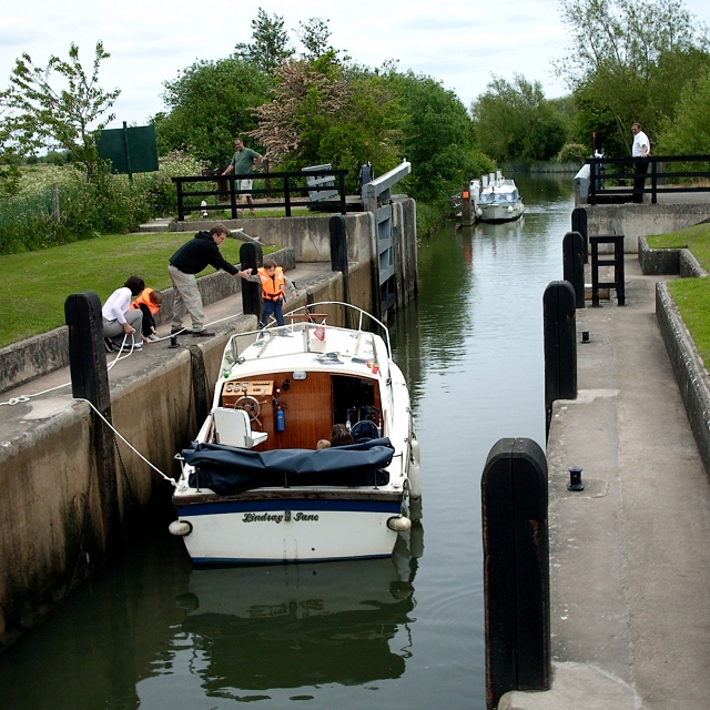
Rushey Lock
Rushey Lock is a lock on the River Thames in England. It is on the northern bank of the river in Oxfordshire, at a considerable distance from any village...
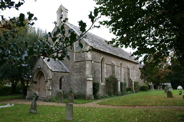
Faringdon Castle
Faringdon Castle was a Norman castle standing just outside the market town of Faringdon in the English county of Berkshire (administratively now Oxfordshire...
Related Videos

Oxfordshire 3.5 mile circular walk: Buckland & Pusey
Buckland - Pusey : 3.5 mile circular walk Guided Walk: ...

Ice Tree & Hedge A420 nr Faringdon
Ice covered tree and hedge on the A420 near St. Hugh's School, between The Snooty Mehmaan in Littleworth and Buckland near ...
Nearby Amenities
Located within 500m of 51.676593,-1.5382771Have you been to Barcote Hill?
Leave your review of Barcote Hill below (or comments, questions and feedback).