Barcote Copse
Wood, Forest in Berkshire Vale of White Horse
England
Barcote Copse
Barcote Copse is a picturesque woodland located in the county of Berkshire, England. Situated near the village of Lambourn, this beautiful forest covers an area of approximately 100 acres. It is a popular destination for nature enthusiasts, hikers, and those seeking tranquility amidst the natural beauty of the region.
The copse is predominantly made up of broadleaf trees, including oak, beech, and ash, which create a dense and vibrant canopy overhead. The forest floor is covered with a rich carpet of ferns, wildflowers, and moss, adding to its enchanting atmosphere. A network of well-maintained footpaths winds its way through the woodland, providing visitors with the opportunity to explore its hidden nooks and crannies.
Barcote Copse is home to a diverse range of wildlife, making it a haven for nature lovers. Birdwatchers can spot various species of woodland birds, including woodpeckers, nuthatches, and thrushes. The forest also provides habitat for small mammals such as squirrels, rabbits, and foxes.
In addition to its natural beauty, Barcote Copse has historical significance. It is believed to have been part of an ancient woodland that dates back centuries. The woodland has been carefully managed and preserved over the years, ensuring the continuation of its ecological importance.
Overall, Barcote Copse offers a serene and captivating experience for visitors, allowing them to immerse themselves in the wonders of nature while exploring this idyllic woodland in Berkshire.
If you have any feedback on the listing, please let us know in the comments section below.
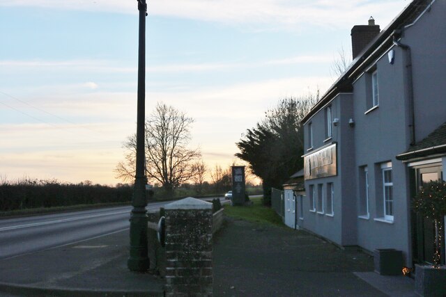
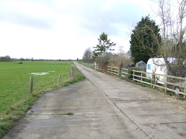
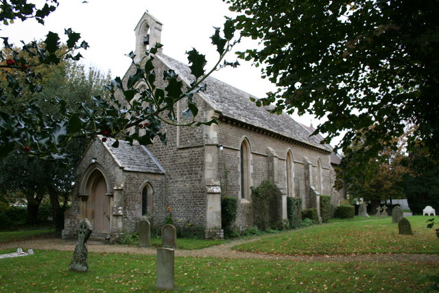
Barcote Copse Images
Images are sourced within 2km of 51.679715/-1.5365531 or Grid Reference SU3297. Thanks to Geograph Open Source API. All images are credited.


Barcote Copse is located at Grid Ref: SU3297 (Lat: 51.679715, Lng: -1.5365531)
Administrative County: Oxfordshire
District: Vale of White Horse
Police Authority: Thames Valley
What 3 Words
///quoted.rationed.propose. Near Faringdon, Oxfordshire
Nearby Locations
Related Wikis

St Hugh's School, Faringdon
St Hugh's School is a preparatory school near Faringdon in Oxfordshire. The school is co-educational, day and boarding, offering both weekly and flexi...
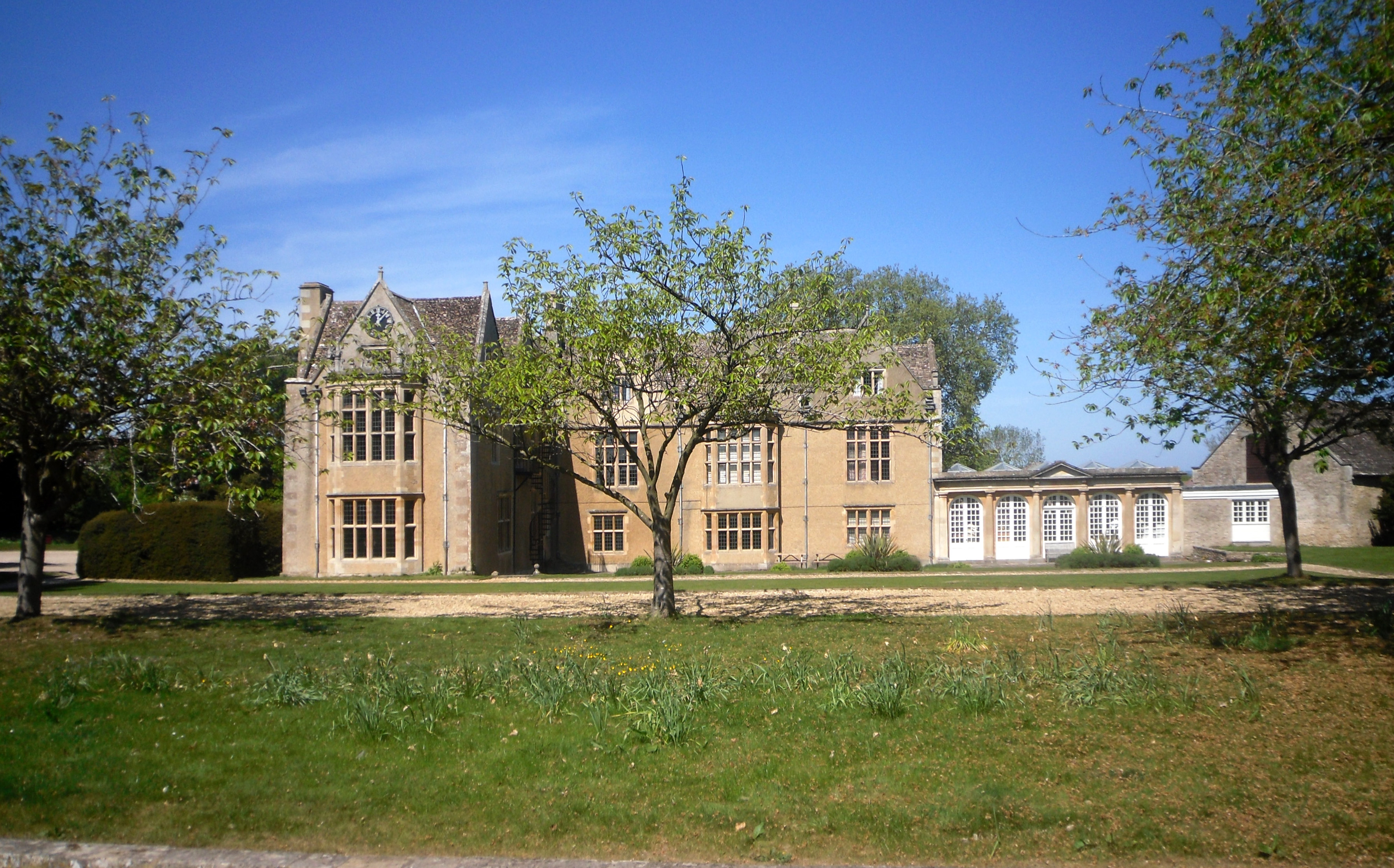
Carswell Manor
Carswell Manor is a Jacobean country house at Carswell in the civil parish of Buckland in the English county of Oxfordshire (formerly in Berkshire). It...
Littleworth, Vale of White Horse
Littleworth is a small village and civil parish off the A420, almost 2 miles (3 km) northeast of Faringdon. It was part of Berkshire until the 1974 boundary...
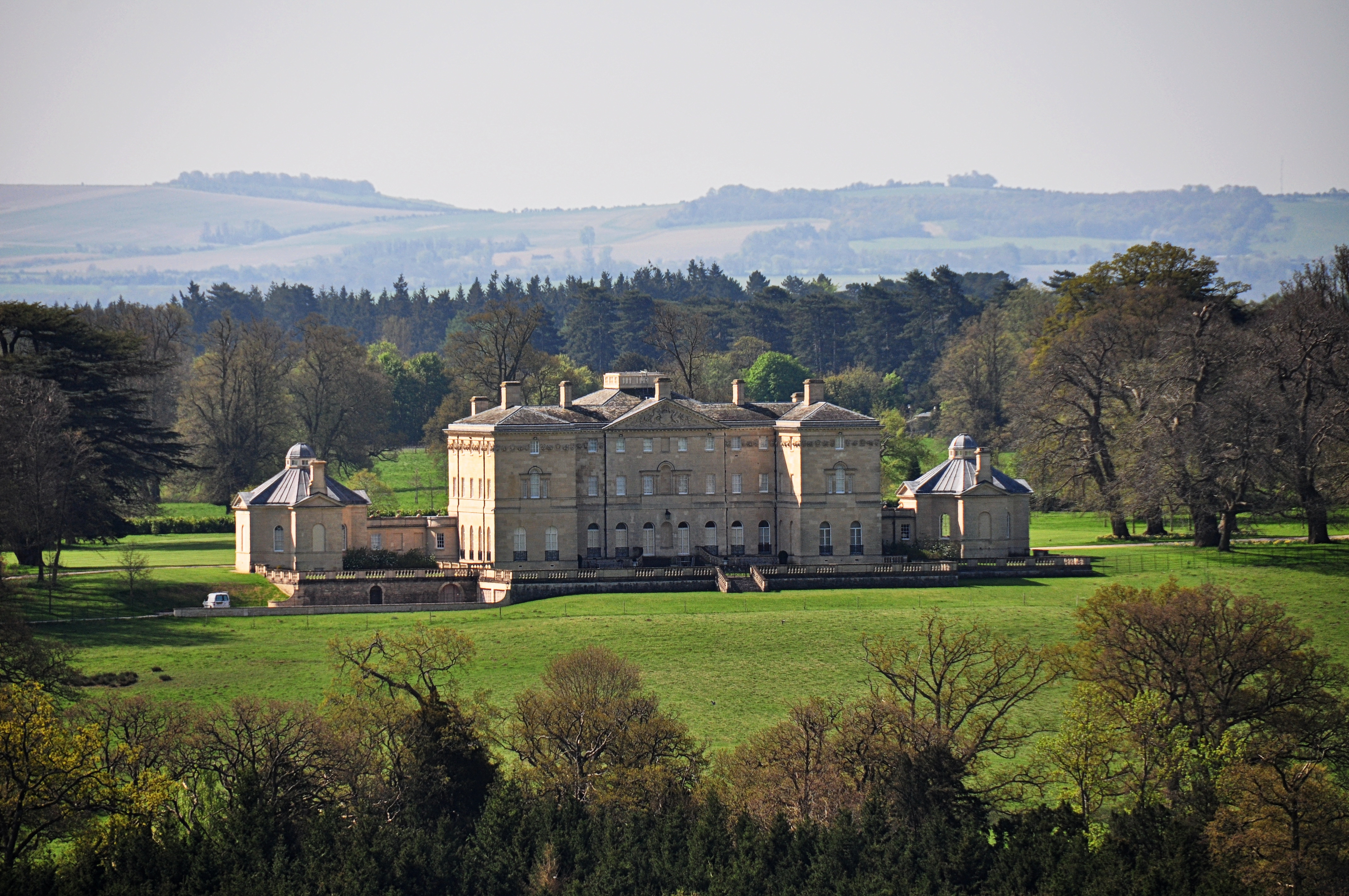
Buckland House
Buckland House is a large Georgian stately home, the manor house of Buckland in Oxfordshire, England (formerly in Berkshire). It is a masterpiece of Palladian...
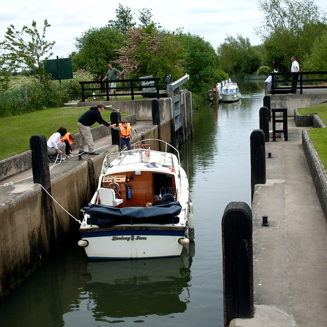
Rushey Lock
Rushey Lock is a lock on the River Thames in England. It is on the northern bank of the river in Oxfordshire, at a considerable distance from any village...

Buckland Warren
Buckland Warren is a 0.04-hectare (0.099-acre) biological Site of Special Scientific Interest (SSSI) east of Faringdon in Oxfordshire.This narrow strip...

Buckland, Oxfordshire
Buckland is a village and large civil parish about 4 miles (6.4 km) northeast of Faringdon in the Vale of White Horse District. Buckland was part of Berkshire...

Tadpole Bridge
Tadpole Bridge is a road bridge across the River Thames in Oxfordshire, England, carrying a road between Bampton to the north and Buckland to the south...
Nearby Amenities
Located within 500m of 51.679715,-1.5365531Have you been to Barcote Copse?
Leave your review of Barcote Copse below (or comments, questions and feedback).