Swarth Hill
Hill, Mountain in Yorkshire Harrogate
England
Swarth Hill
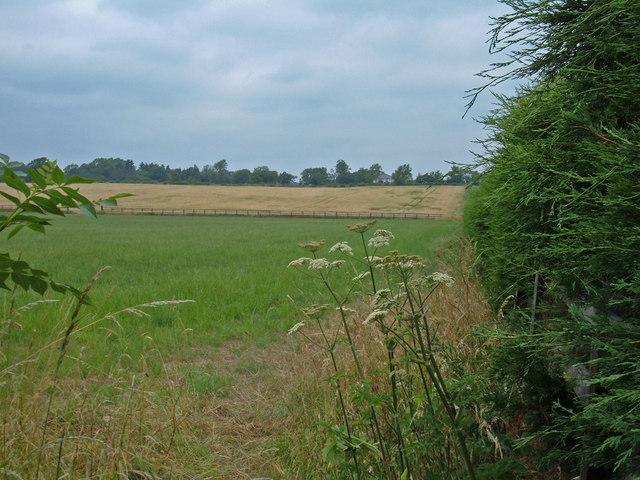
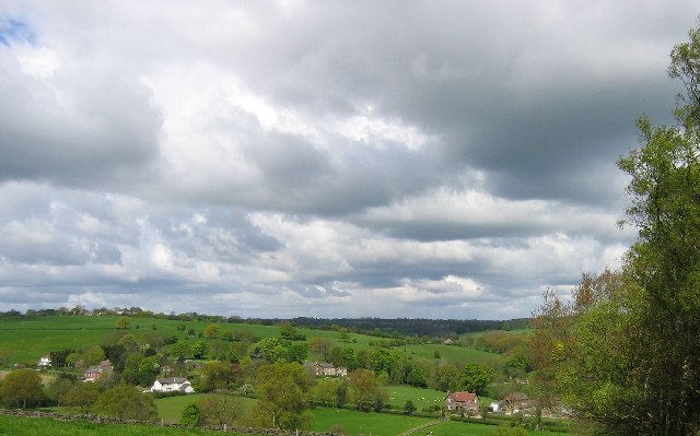
Swarth Hill is a prominent landmark located in the Yorkshire Dales National Park in North Yorkshire, England. Standing at an elevation of 436 meters (1,430 feet), it is classified as a hill rather than a mountain due to its size. The hill is part of the Pennines mountain range and offers stunning panoramic views of the surrounding countryside, including the nearby towns of Grassington and Skipton.
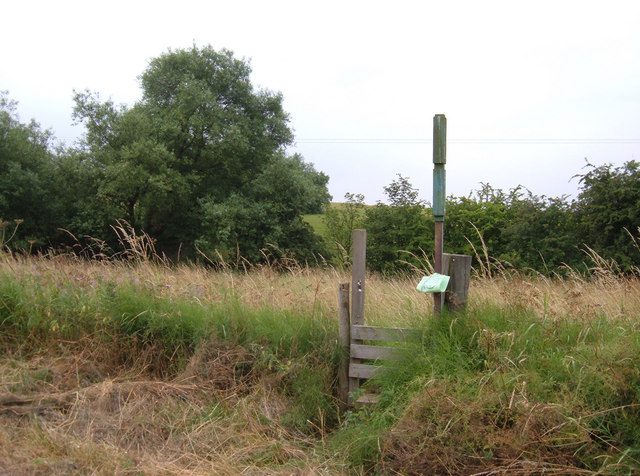
Swarth Hill is a popular destination for hikers and outdoor enthusiasts, with a network of footpaths and trails leading to the summit. The climb to the top is relatively moderate, making it accessible to hikers of all skill levels. Along the way, visitors can enjoy the diverse flora and fauna that populate the hillside, including heather, bracken, and various species of birds.
At the summit of Swarth Hill, there is a trig point that marks the highest point and serves as a reference point for surveying. On a clear day, visitors can see for miles around, taking in the beauty of the Yorkshire Dales landscape. Swarth Hill is a peaceful and picturesque spot for a day of hiking and exploration in the heart of the English countryside.
If you have any feedback on the listing, please let us know in the comments section below.
Swarth Hill Images
Images are sourced within 2km of 53.952355/-1.5357583 or Grid Reference SE3050. Thanks to Geograph Open Source API. All images are credited.


Swarth Hill is located at Grid Ref: SE3050 (Lat: 53.952355, Lng: -1.5357583)
Division: West Riding
Administrative County: North Yorkshire
District: Harrogate
Police Authority: North Yorkshire
What 3 Words
///trapdoor.congratulations.uses. Near Pannal, North Yorkshire
Nearby Locations
Related Wikis
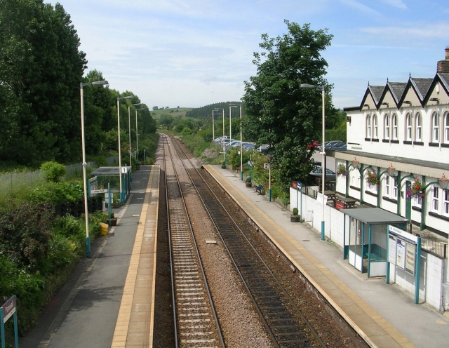
Pannal railway station
Pannal railway station serves the villages of Pannal and Spacey Houses in the southern suburbs of Harrogate, North Yorkshire, England, equidistant from...

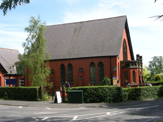
St Robert's Church, Pannal
St Robert's Church, Pannal, North Yorkshire, England, also known as St Robert of Knaresborough Parish Church, is a Grade II* listed building. A 13th-century...
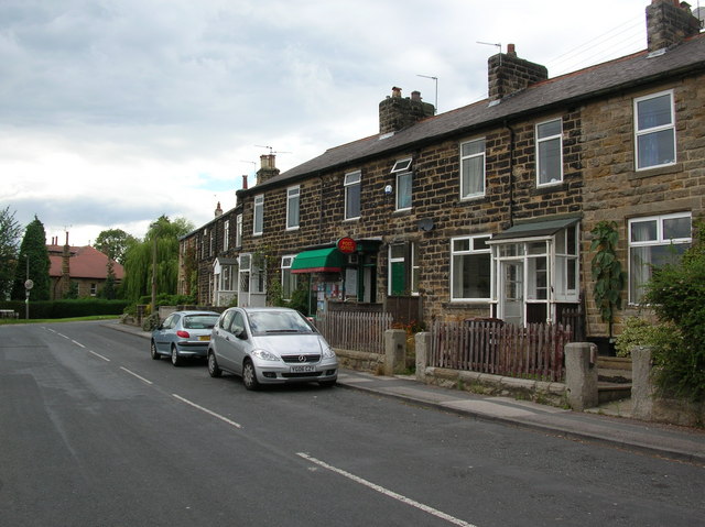
Pannal
Pannal is a village in the Harrogate district of North Yorkshire, England. Historically part of the West Riding of Yorkshire, it is situated to the immediate...
Burn Bridge
Burn Bridge is a village in the borough of Harrogate in North Yorkshire, England. It is 2.5 miles (4.0 km) south of the town of Harrogate, and forms part...
Nearby Amenities
Located within 500m of 53.952355,-1.5357583Have you been to Swarth Hill?
Leave your review of Swarth Hill below (or comments, questions and feedback).