Barrowbush Hill
Hill, Mountain in Berkshire Vale of White Horse
England
Barrowbush Hill
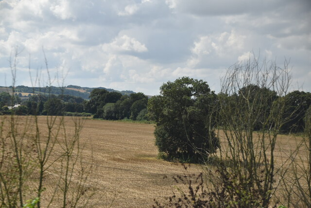
Barrowbush Hill is a prominent hill located in Berkshire, England. Rising to an elevation of approximately 175 meters (574 feet), it is considered one of the highest points in the county. Situated near the village of Compton, the hill provides picturesque views of the surrounding countryside.
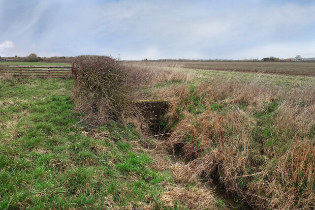
The hill is predominantly covered in grassland, with scattered patches of woodland. This diverse habitat supports a range of flora and fauna, making it an attractive destination for nature enthusiasts. Wildflowers such as cowslips, primroses, and harebells can be found blooming during the spring and summer months, creating a vibrant and colorful landscape.
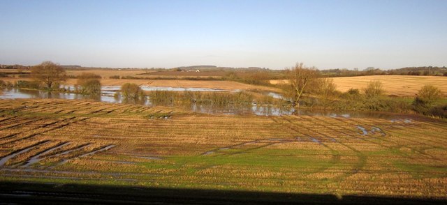
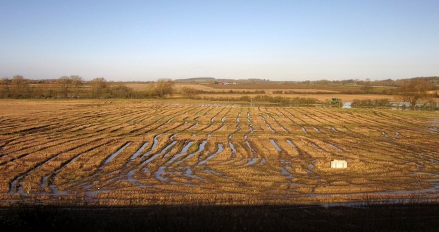
Barrowbush Hill is a popular spot for outdoor activities such as hiking, walking, and picnicking. Several footpaths and trails traverse the hill, offering visitors the opportunity to explore its natural beauty. The panoramic views from the summit are particularly breathtaking, showcasing the rolling hills and valleys of the Berkshire countryside.
Historically, Barrowbush Hill is believed to have been an ancient burial site. The presence of several burial mounds, or barrows, suggests that the hill held significant ceremonial or religious importance in prehistoric times. Today, these barrows serve as a reminder of the hill's rich cultural heritage.
Overall, Barrowbush Hill is a noteworthy natural landmark in Berkshire, providing both locals and visitors with a tranquil escape and an opportunity to immerse themselves in the area's natural and historical wonders.
If you have any feedback on the listing, please let us know in the comments section below.
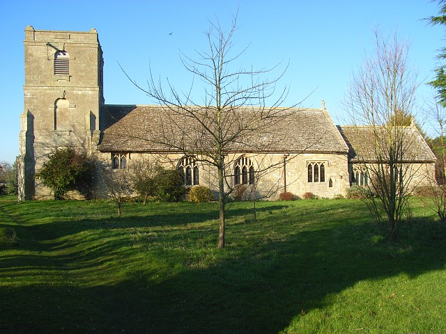
Barrowbush Hill Images
Images are sourced within 2km of 51.620294/-1.5676503 or Grid Reference SU3091. Thanks to Geograph Open Source API. All images are credited.


Barrowbush Hill is located at Grid Ref: SU3091 (Lat: 51.620294, Lng: -1.5676503)
Administrative County: Oxfordshire
District: Vale of White Horse
Police Authority: Thames Valley
What 3 Words
///roses.newer.unguarded. Near Faringdon, Oxfordshire
Nearby Locations
Related Wikis

Fernham
Fernham is a village and civil parish about 2 miles (3 km) south of Faringdon in the Vale of White Horse, Oxfordshire, England. Fernham was historically...
Uffington, Oxfordshire
Uffington is a village and civil parish in Oxfordshire, about 4 miles (6.4 km) south of Faringdon and 6 miles (10 km) west of Wantage. The 2011 Census...

Uffington railway station
Uffington railway station (sometimes marked as Uffington Junction) is a former station on the Great Western Main Line. The station was located north-east...

Baulking
Baulking or Balking is a village and civil parish about 3+1⁄2 miles (5.6 km) southeast of Faringdon in the Vale of White Horse district of Oxfordshire...

Tom Brown's School Museum
Tom Brown's School Museum is a local museum in the village of Uffington (near Faringdon), Oxfordshire, England. It was opened in 1984.The museum covers...
Longcot
Longcot is a village and civil parish in the Vale of White Horse District. It was part of Berkshire until the 1974 boundary changes transferred it to Oxfordshire...

Little Coxwell
Little Coxwell is a village and civil parish in South East England, about 1.5 miles (2.4 km) south of Faringdon and 0.8 miles (1.3 km) east of Great Coxwell...

Shellingford
Shellingford, historically also spelt Shillingford, is a village and civil parish about 2+1⁄2 miles (4 km) south-east of Faringdon in the Vale of White...
Nearby Amenities
Located within 500m of 51.620294,-1.5676503Have you been to Barrowbush Hill?
Leave your review of Barrowbush Hill below (or comments, questions and feedback).