Healthwaite Hill

Hill, Mountain in Yorkshire Harrogate

England

Healthwaite Hill

Swindon Lane Bottom Showing the point where the lane from North Rigton meets the A61 Harrogate/Leeds Road
Swindon Lane Bottom Credit: Chris Heaton

Healthwaite Hill is a prominent natural landmark located in the picturesque region of Yorkshire, England. Rising to an elevation of approximately 450 meters, it is classified as a hill rather than a mountain. The hill is situated in the North York Moors National Park, encompassed by the scenic countryside and rolling hills that are characteristic of the area.

Healthwaite Hill boasts breathtaking panoramic views, offering visitors an opportunity to appreciate the stunning beauty of the surrounding landscape. The hill is known for its lush greenery and diverse flora, attracting nature enthusiasts and hikers alike. Its location within the national park also means that it is home to a wide variety of wildlife, including birds, mammals, and plant species.

The hill is accessible via several footpaths and trails, catering to individuals of different fitness levels. These paths wind through the countryside, providing an enjoyable and invigorating experience for outdoor enthusiasts. Visitors can embark on leisurely walks or more challenging hikes, depending on their preferences.

Healthwaite Hill is not only a popular destination for recreational activities but also serves as an important historical site. It is rumored to have played a role in the Iron Age, with evidence of ancient settlements found in the surrounding areas. Archaeological excavations have revealed remnants of structures and artifacts, adding to the historical significance of the hill.

Overall, Healthwaite Hill offers a captivating blend of natural beauty, outdoor recreation, and historical intrigue. It is a must-visit destination for those seeking to immerse themselves in the charm and splendor of Yorkshire's countryside.

If you have any feedback on the listing, please let us know in the comments section below.

Healthwaite Hill Images

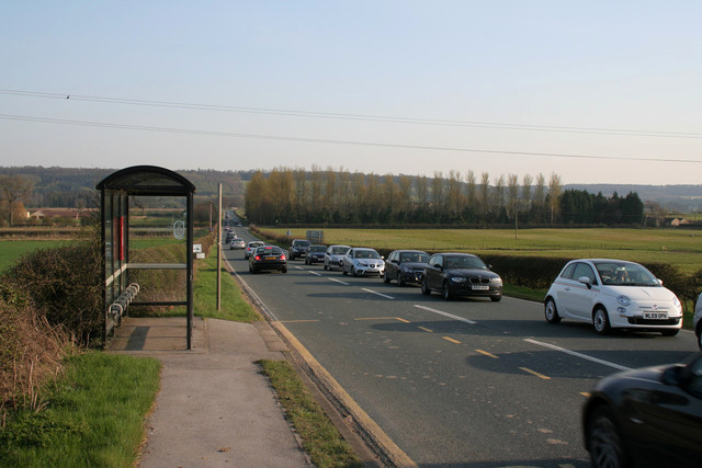
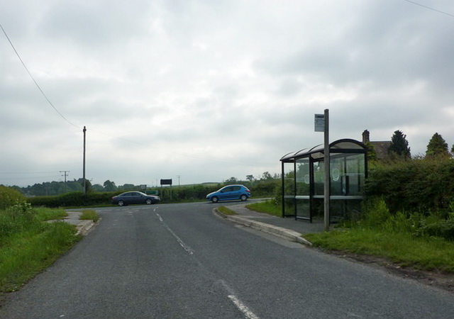
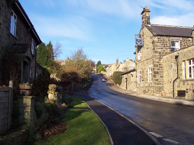
Images are sourced within 2km of 53.927748/-1.5480621 or Grid Reference SE2948. Thanks to Geograph Open Source API. All images are credited.

Swindon Lane Bottom Showing the point where the lane from North Rigton meets the A61 Harrogate/Leeds Road
Swindon Lane Bottom
Showing the point where the lane from North Rigton meets the A61 Harrogate/Leeds Road
Dunkeswick Hamlet just to the west of the A61 Leeds/Harrogate Road
Dunkeswick
Hamlet just to the west of the A61 Leeds/Harrogate Road
Farmland near Dunkeswick Looking east from the bridge over Keswick Beck on Swindon Lane. The ridge on the skyline (two kilometres away and 90 metres higher) marks the watershed between the Wharfe and the Nidd.
Farmland near Dunkeswick
Looking east from the bridge over Keswick Beck on Swindon Lane. The ridge on the skyline (two kilometres away and 90 metres higher) marks the watershed between the Wharfe and the Nidd.
Keswick Beck, Dunkeswick Looking northwest from the bridge on Swindon Lane. This shot was taken in the heatwave of July 2006 and the beck is drying up. Keswick Beck flows southeast for about two kilometres into the River Wharfe at Netherby.
Keswick Beck, Dunkeswick
Looking northwest from the bridge on Swindon Lane. This shot was taken in the heatwave of July 2006 and the beck is drying up. Keswick Beck flows southeast for about two kilometres into the River Wharfe at Netherby.
A61, Moor End, Dunkeswick Looking north up the A61 as it heads towards Harrogate about one mile north of the crossing of the River Wharfe.
A61, Moor End, Dunkeswick
Looking north up the A61 as it heads towards Harrogate about one mile north of the crossing of the River Wharfe.
Milestone, A61, Moor End The top reads, "Leeds & Harrogate Road Dunkeswick". The south face reads, "Harrogate 5 miles". The north face reads, "Harewood 2 miles Leeds 10 miles".
Milestone, A61, Moor End
The top reads, "Leeds & Harrogate Road Dunkeswick". The south face reads, "Harrogate 5 miles". The north face reads, "Harewood 2 miles Leeds 10 miles".
Bridleway to Swindon Hall This short bridleway (about 1km in length) heads northeast from the A61 to Swindon Lane via Swindon Hall. Here it has just crossed Keswick Beck and follows the hedge before veering right below Swindon Wood seen in the distance.
Bridleway to Swindon Hall
This short bridleway (about 1km in length) heads northeast from the A61 to Swindon Lane via Swindon Hall. Here it has just crossed Keswick Beck and follows the hedge before veering right below Swindon Wood seen in the distance.
Swindon Hall, Kirkby Overblow The bridleway from the A61 to Swindon Lane turns right in front of this impressive farmhouse.
Swindon Hall, Kirkby Overblow
The bridleway from the A61 to Swindon Lane turns right in front of this impressive farmhouse.
Footpath between Rougemont and Harewood Bridge Following this footpath beside the River Wharfe towards the A61 Harrogate/Leeds Road at Harewood Bridge.
Footpath between Rougemont and Harewood Bridge
Following this footpath beside the River Wharfe towards the A61 Harrogate/Leeds Road at Harewood Bridge.
Cherry Blossom and Daffodils near Lane End Farm
Bus Stop on the A61
Bus Stop on the A61
Swindon Lane
Swindon Lane
Junction of Spring lane with Swindon Lane
Junction of Swindon Lane with the A61
Dunkeswick Lane
Dunkeswick Lane
Walton Head Lane
Walton Head Lane
Fallen tree on the path west of Low Snape Farm Walton Head House just visible through the branches
Fallen tree on the path west of Low Snape Farm
Walton Head House just visible through the branches
Weeton Lane
Weeton Lane
Show me another place!

Healthwaite Hill is located at Grid Ref: SE2948 (Lat: 53.927748, Lng: -1.5480621)

Division: West Riding

Administrative County: North Yorkshire

District: Harrogate

Police Authority: North Yorkshire

What 3 Words

///fork.glorified.retained. Near Pannal, North Yorkshire

Nearby Locations

Healthwaite Hill

Related Wikis

Weeton, North Yorkshire

Weeton is a village and civil parish in the Harrogate district of North Yorkshire, England. The name is first attested in the Domesday Book of 1086 as...

Dunkeswick

Dunkeswick is a hamlet in the civil parish of Kirkby Overblow, in North Yorkshire, England, just north of the River Wharfe, off the A61, around a kilometre...

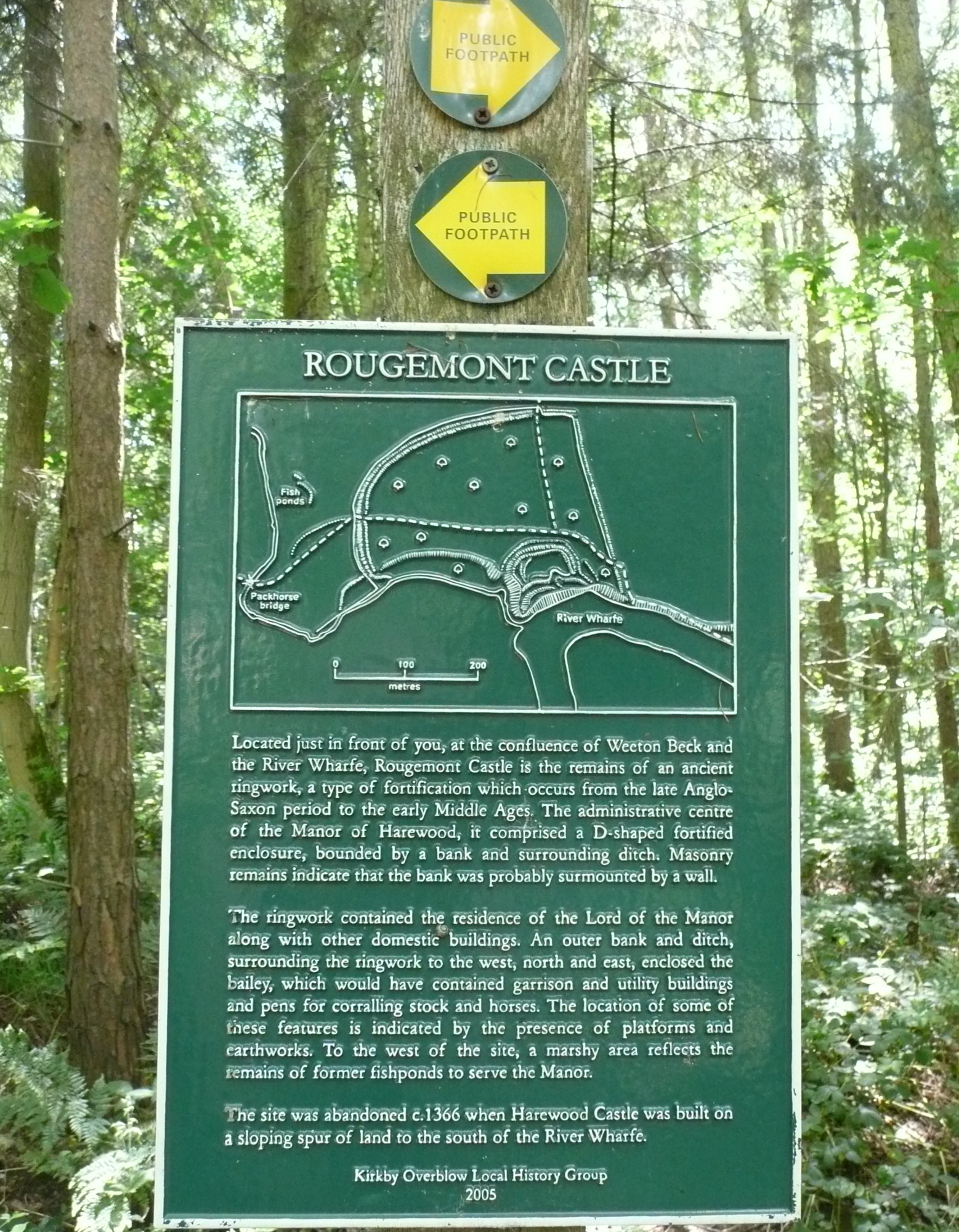
Rougemont Castle, Weeton

Rougemont Castle in the manor of Harewood, in the parish of Weeton, North Yorkshire, England, is a ruined ringwork castle, now largely hidden within over...

North Rigton

North Rigton is a village and civil parish in the Harrogate district of North Yorkshire, England. It is 2 miles (3 km) south of Harrogate. The population...

Nearby Amenities

Located within 500m of 53.927748,-1.5480621
Healthwaite Hill
Natural: peak
Source: NPE
Lat/Long: 53.9274578/-1.5484514
Man Made: tower
Source: survey;Bing
Telecom: antenna
Tower: communication
Lat/Long: 53.9248833/-1.551181
The data included in this document is from www.openstreetmap.org. The data is made available under ODbL.

Have you been to Healthwaite Hill?

Leave your review of Healthwaite Hill below (or comments, questions and feedback).