Walk Royd Hill
Hill, Mountain in Yorkshire
England
Walk Royd Hill

Located in West Yorkshire, England, Walk Royd Hill is a picturesque hill standing at an elevation of 371 meters (1217 feet) above sea level. Situated near the town of Hebden Bridge, this hill is a prominent feature of the surrounding landscape and offers breathtaking panoramic views of the surrounding valleys, moorlands, and nearby towns.
Walk Royd Hill boasts a diverse range of flora and fauna, making it a popular spot for nature enthusiasts and hikers. The hill is covered in lush greenery, with patches of heather, bracken, and wildflowers dotting the landscape. It is home to various species of birds, including kestrels and buzzards, as well as small mammals like rabbits and foxes.
The hill is crisscrossed with a network of walking paths and trails, making it an ideal location for outdoor activities such as hiking and walking. The paths cater to all levels of fitness, from gentle strolls to more challenging hikes, ensuring there is something for everyone to enjoy.
One of the highlights of Walk Royd Hill is its historical significance. The hill is home to several ancient burial mounds known as round barrows, dating back to the Bronze Age. These archaeological features provide a glimpse into the area's rich past and offer visitors a chance to connect with the region's heritage.
For those seeking a peaceful escape from the hustle and bustle of daily life, Walk Royd Hill offers a serene and tranquil setting. Whether it's the stunning views, the abundance of wildlife, or the fascinating history, this Yorkshire hill provides an unforgettable experience for nature lovers and history enthusiasts alike.
If you have any feedback on the listing, please let us know in the comments section below.
Walk Royd Hill Images
Images are sourced within 2km of 53.593038/-1.5521683 or Grid Reference SE2910. Thanks to Geograph Open Source API. All images are credited.


Walk Royd Hill is located at Grid Ref: SE2910 (Lat: 53.593038, Lng: -1.5521683)
Division: West Riding
Unitary Authority: Barnsley
Police Authority: South Yorkshire
What 3 Words
///smarting.glue.stood. Near Darton, South Yorkshire
Nearby Locations
Related Wikis

Darton Academy
Darton Academy is a coeducational secondary school located in Darton in the Metropolitan Borough of Barnsley, South Yorkshire, England. The school provides...

Haigh, West Yorkshire
Haigh is a hamlet, straddling the counties of South and West Yorkshire in England. It is split between the Barnsley and Wakefield districts. Historically...

Haigh railway station
Haigh railway station served the village of Haigh, West Yorkshire, England from 1850 to 1965 on the Hallam Line. == History == The station opened on 1...
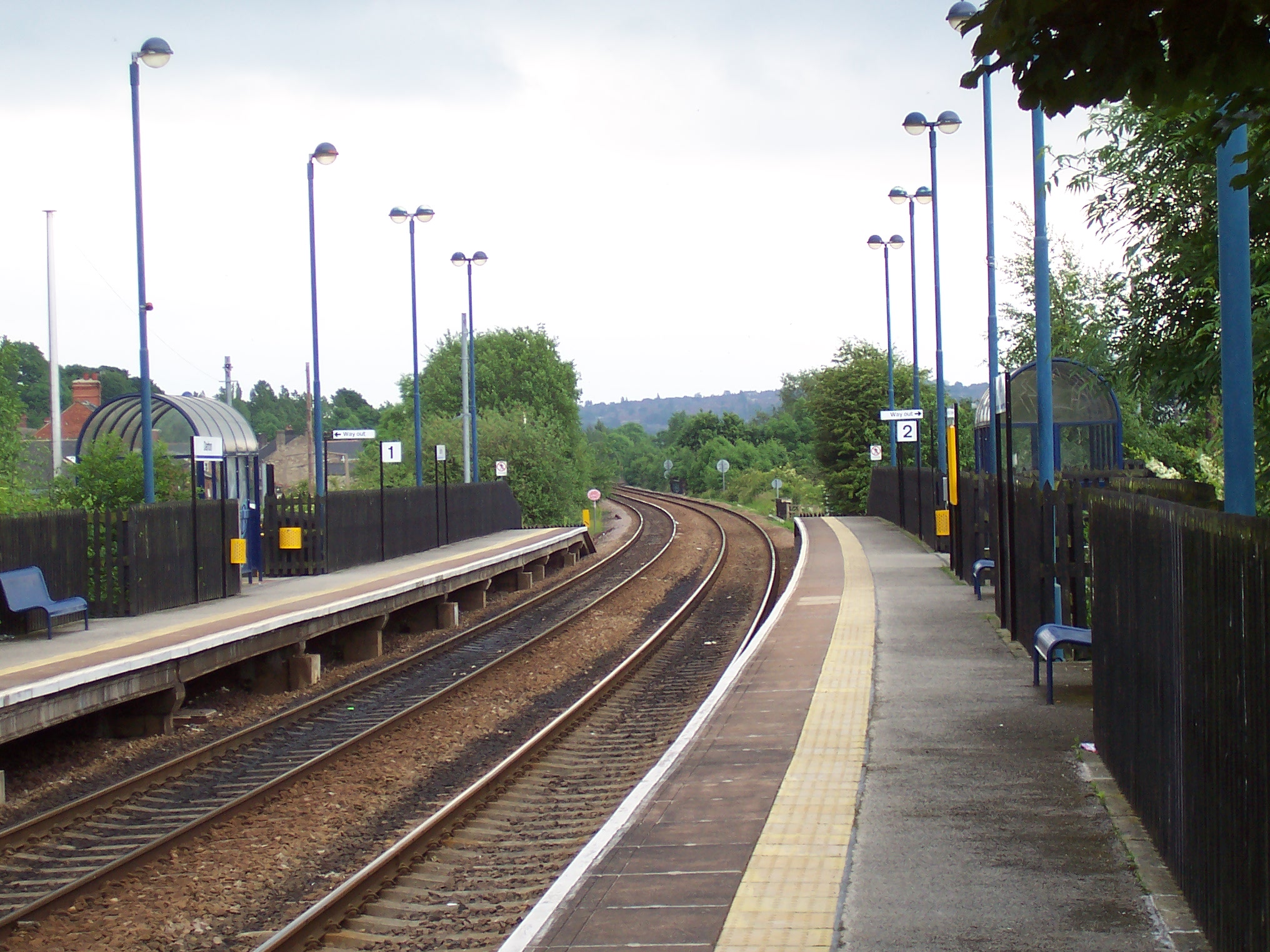
Darton railway station
Darton railway station is a railway station in a large village of Darton, in the Metropolitan Borough of Barnsley, South Yorkshire, England. Train services...
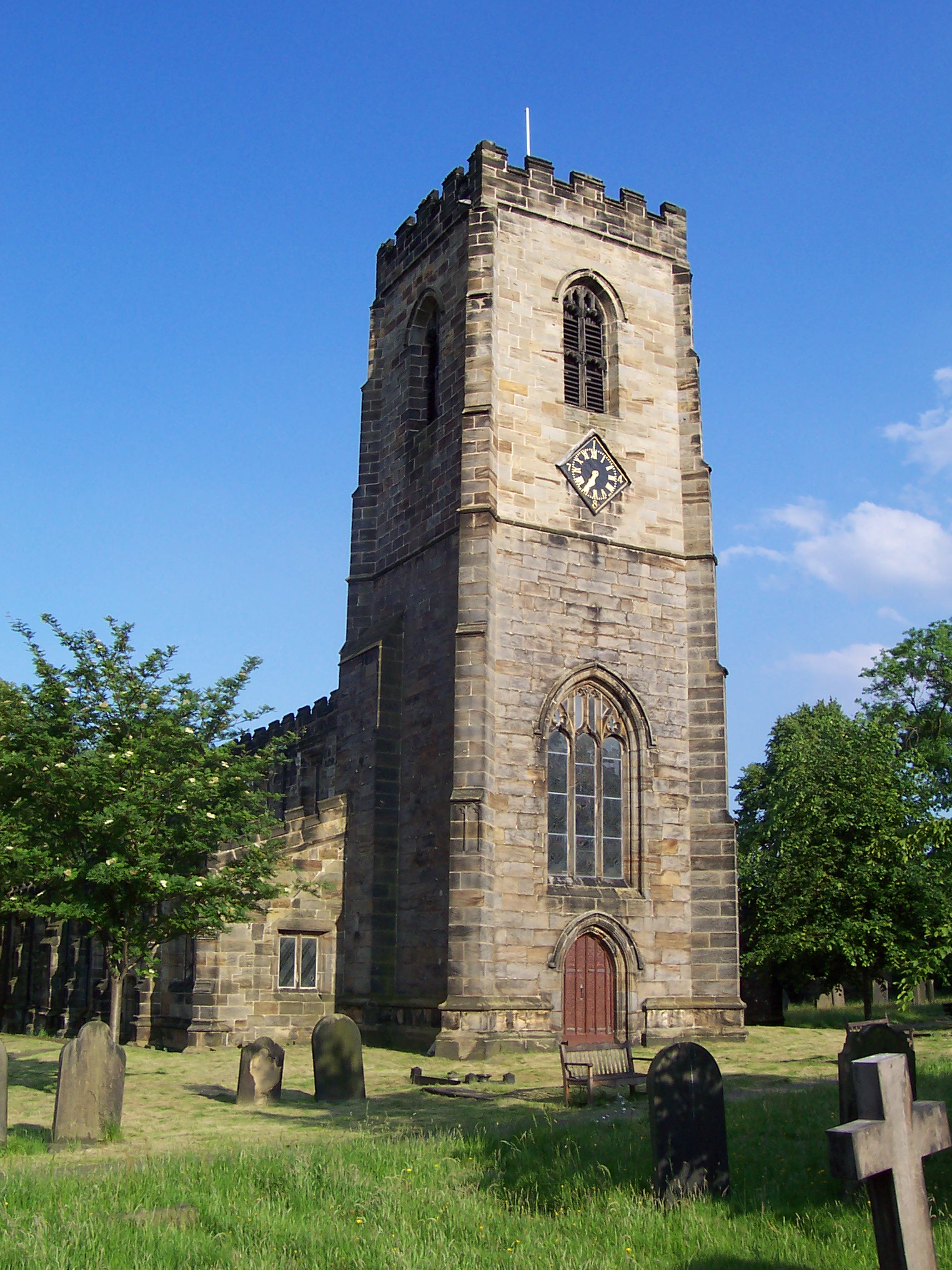
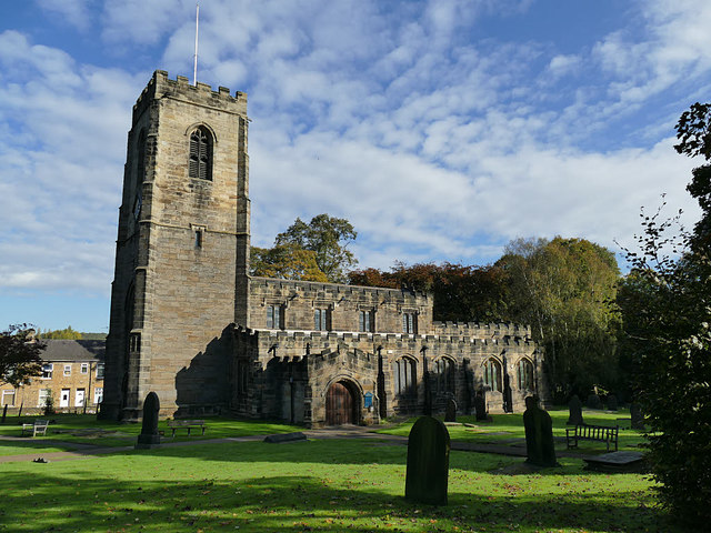
All Saints Church, Darton
The Church of All Saints is the parish church in the village of Darton in South Yorkshire, England. It is a Church of England church in the Diocese of...
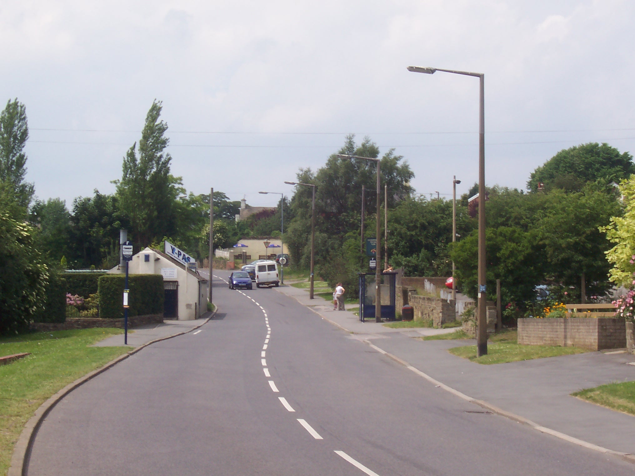
Darton
Darton is a large village in the Metropolitan Borough of Barnsley (part of South Yorkshire), on the border with West Yorkshire, England. At the time of...

Woolley Colliery
Woolley Colliery is a village on the border between the Barnsley and Wakefield districts in Yorkshire, England. The village is now in South Yorkshire,...
Kexbrough
Kexbrough is a village in the Metropolitan Borough of Barnsley (part of South Yorkshire, England), on the border with West Yorkshire. The village falls...
Nearby Amenities
Located within 500m of 53.593038,-1.5521683Have you been to Walk Royd Hill?
Leave your review of Walk Royd Hill below (or comments, questions and feedback).