Pound Hill

Hill, Mountain in Hampshire Test Valley

England

Pound Hill

Glebe Garage, Sheffield English
Glebe Garage, Sheffield English Credit: Roger Cornfoot

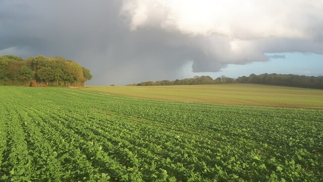
Pound Hill is a small hill located in Hampshire, England. Situated within the South Downs National Park, it offers stunning panoramic views of the surrounding countryside. Despite being called a hill, Pound Hill is not particularly large, reaching a maximum elevation of approximately 250 meters above sea level. It is characterized by its gentle slopes and lush greenery, making it a popular spot for hikers and nature enthusiasts.

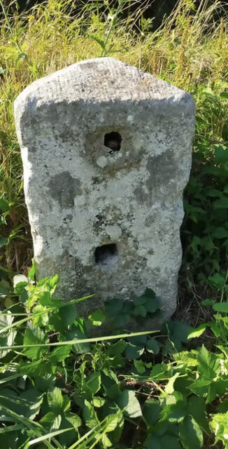
The hill gets its name from the old English word "pund", meaning an enclosure or pound, which refers to the presence of an ancient boundary marker on its summit. This marker, believed to date back to medieval times, is a testament to the hill's historical significance. It serves as a reminder of the area's rich heritage and the importance of land boundaries in the past.

Pound Hill is home to a diverse range of flora and fauna. The hillside is blanketed in wildflowers during the spring and summer months, attracting a variety of butterflies and bees. The surrounding woodlands are inhabited by numerous bird species, including woodpeckers, thrushes, and owls.

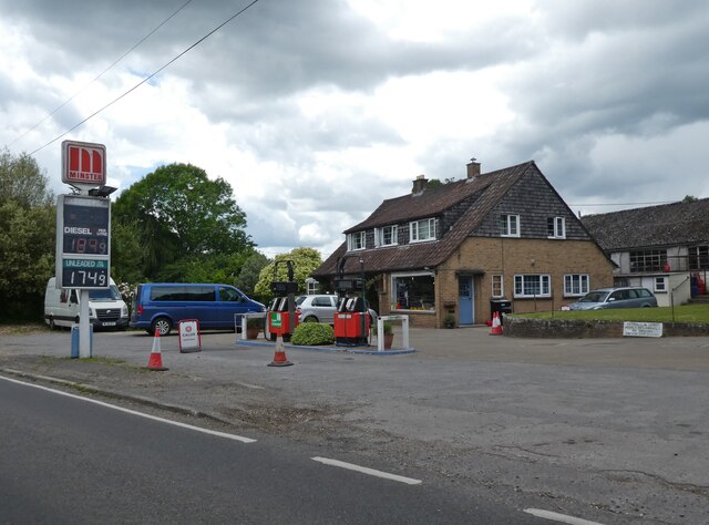
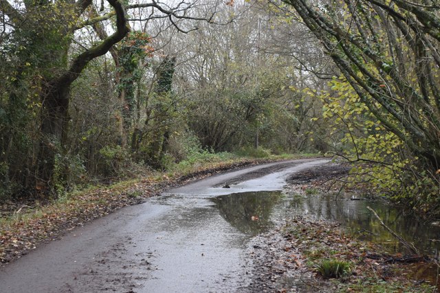
The hill is easily accessible by foot, with several walking trails leading to its summit. These trails offer breathtaking views and opportunities for exploration. Additionally, Pound Hill is located near several charming villages, providing visitors with opportunities to experience the local culture and hospitality.

Overall, Pound Hill in Hampshire offers a picturesque and tranquil escape for those seeking natural beauty and a connection to the region's history.

If you have any feedback on the listing, please let us know in the comments section below.
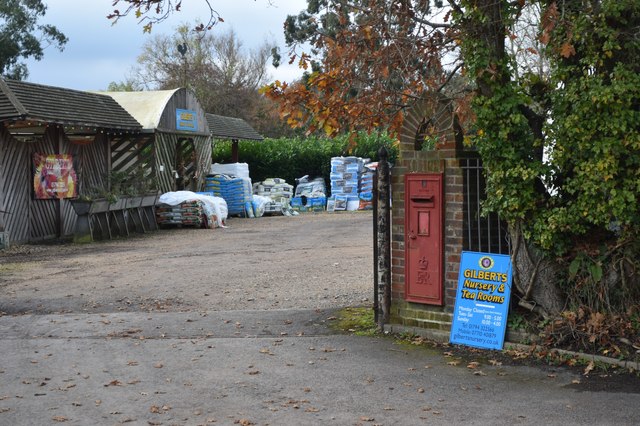
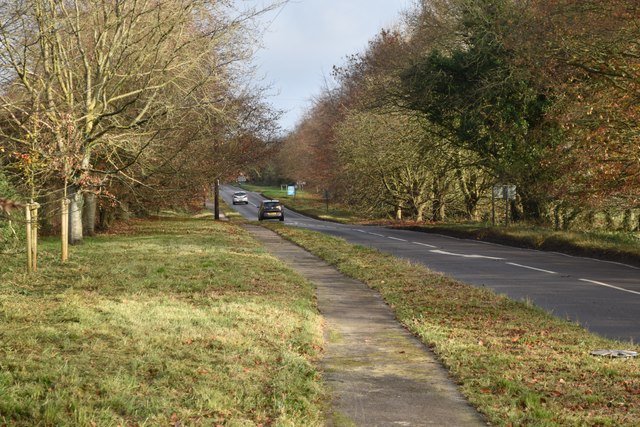
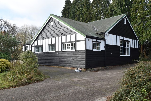
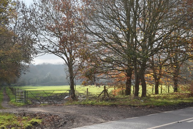
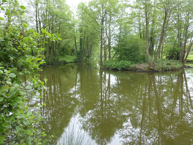
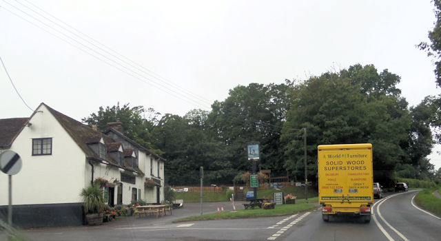
Pound Hill Images

Images are sourced within 2km of 51.007513/-1.5779292 or Grid Reference SU2923. Thanks to Geograph Open Source API. All images are credited.

Glebe Garage, Sheffield English
Rainstorm beyond the corner of Broke's Copse
Stormy sky beyond Sherfield English A day of heavy showers across southern England, with rain falling over Southampton and the New Forest.
Stormy sky beyond Sherfield English
A day of heavy showers across southern England, with rain falling over Southampton and the New Forest.
Old Milestone by the A27, east of Glebe Farm, Sherfield English parish Stone post (plate lost) by the A27, in parish of SHERFIELD ENGLISH (TEST VALLEY District), East of Glebe Farm, junction with Branches Lane, on the verge, on North side of road. Romsey tombstone marker, erected by the Whiteparish, Romsey & Southampton turnpike trust in the 19th century.

Part inscription reads:-
MILES TO
ROMSEY
Original Inscription once read:-
(Salisbury)
(11)
(Romsey)
(4)

Milestone Society National ID: HA_ROSA04.
Old Milestone by the A27, east of Glebe Farm, Sherfield English parish
Stone post (plate lost) by the A27, in parish of SHERFIELD ENGLISH (TEST VALLEY District), East of Glebe Farm, junction with Branches Lane, on the verge, on North side of road. Romsey tombstone marker, erected by the Whiteparish, Romsey & Southampton turnpike trust in the 19th century. Part inscription reads:- MILES TO ROMSEY Original Inscription once read:- (Salisbury) (11) (Romsey) (4) Milestone Society National ID: HA_ROSA04.
Steplake Lane
Steplake Lane
Wellow Wood Chapel Formerly <a href="https://www.geograph.org.uk/photo/412899">SU2821 : Wellow Wood Methodist Church</a>, the chapel's Facebook page now describes it as an independent church.
Wellow Wood Chapel
Formerly SU2821 : Wellow Wood Methodist Church, the chapel's Facebook page now describes it as an independent church.
Overflowing ditch in Wellow Drove
Steplake Road Not to be confused with the quite separate, but local, <a href="https://www.geograph.org.uk/photo/7662754">SU2822 : Steplake Lane</a>.
Steplake Road
Not to be confused with the quite separate, but local, SU2822 : Steplake Lane.
Gilbert's Nursery and Tea Room
Beside the A27 at Sherfield English
Sherfield English Village Hall
Patch of sunlight on a misty day at Sherfield English This is the field just across the A27 from <a href="https://www.geograph.org.uk/photo/7662780">SU2922 : Sherfield English Village Hall</a>.
Patch of sunlight on a misty day at Sherfield English
This is the field just across the A27 from SU2922 : Sherfield English Village Hall.
Ordnance Survey Flush Bracket (S9673) This OS cut mark can be found on the SE face of St Leonard's Church. it marks a point 44.709m above mean sea level.
Ordnance Survey Flush Bracket (S9673)
This OS cut mark can be found on the SE face of St Leonard's Church. it marks a point 44.709m above mean sea level.
Pond near Sherfield English One of a number if small ponds in this area.
Pond near Sherfield English
One of a number if small ponds in this area.
Hatchet inn Sherfield English
Gambledown Lane
Gambledown Lane
Field beside Gambledown Lane
Footpath at Tote Hill
Show me another place!

Pound Hill is located at Grid Ref: SU2923 (Lat: 51.007513, Lng: -1.5779292)

Administrative County: Hampshire

District: Test Valley

Police Authority: Hampshire

What 3 Words

///handrail.debating.circling. Near West Wellow, Hampshire

Related Wikis

Sherfield English

Sherfield English is a small village and civil parish in the Test Valley borough of Hampshire, England. It is located on the A27 road, around 4 miles...
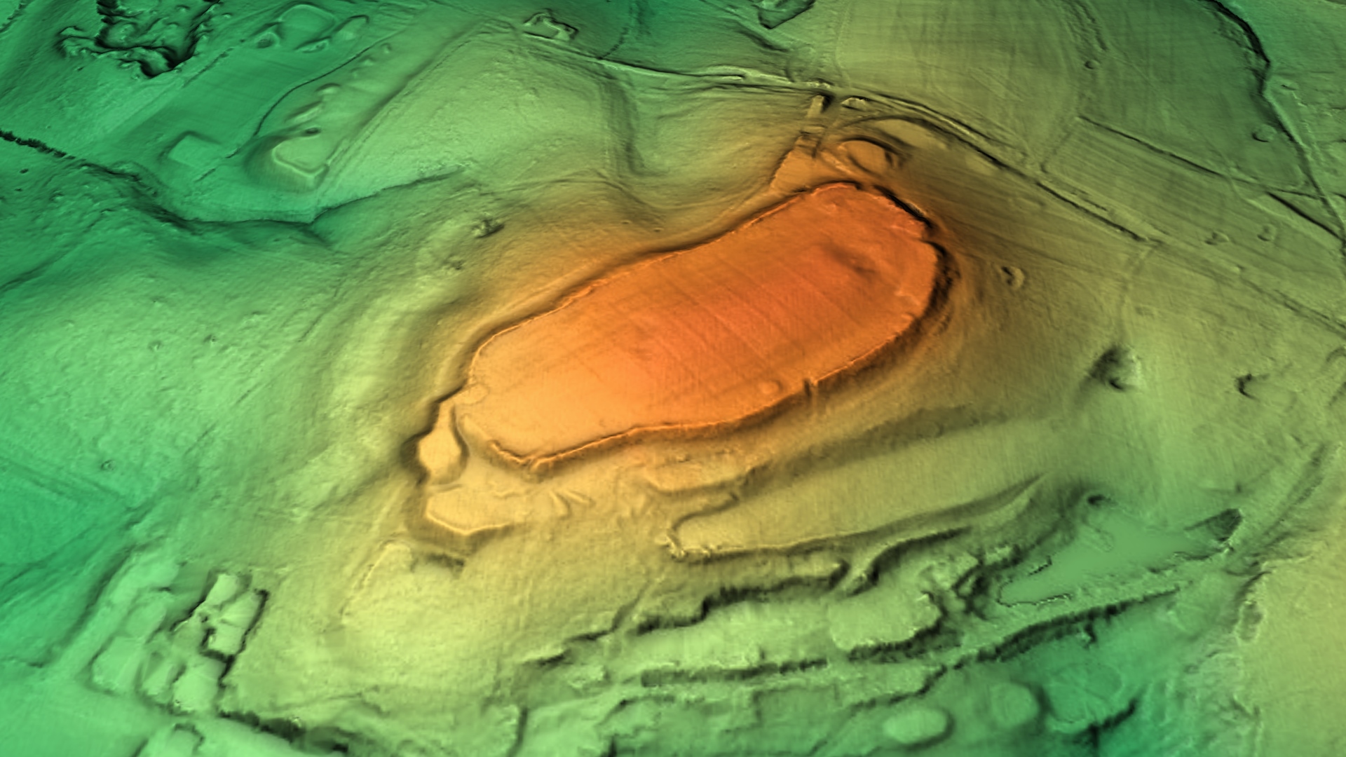
Dunwood Camp

Dunwood Camp is the site of an Iron Age hillfort located in Hampshire. It occupies the summit of a sandy hill. It has a single Rampart (fortification)...

Shootash

Shootash was, before WWI, originally an area consisting of a few farmsteads, woodland and common land which subsequently developed during the 20th century...

Lockerley Camp

Lockerley Camp is the site of an Iron Age univallate hillfort located in Hampshire. Situated on a low gravel-capped plateau, it covers approximately 5...

Nearby Amenities

Located within 500m of 51.007513,-1.5779292
Power: tower
Source: Bing
Lat/Long: 51.0069961/-1.5737484
Power: tower
Source: Bing
Lat/Long: 51.0089488/-1.5734876
Power: tower
Source: Bing
Lat/Long: 51.0046566/-1.5740707
Barrier: stile
Lat/Long: 51.0107261/-1.5748479
Barrier: stile
Lat/Long: 51.0095111/-1.5786227
Pound Hill
Place: hamlet
Lat/Long: 51.0048859/-1.5788198
Doctor's Copse
Place: locality
Lat/Long: 51.0073776/-1.5711984
Power: pole
Lat/Long: 51.0104094/-1.5781463
Power: pole
Lat/Long: 51.0113202/-1.577513
Power: pole
Lat/Long: 51.0086784/-1.579347
Power: pole
Lat/Long: 51.0094844/-1.5788816
Power: pole
Lat/Long: 51.0078405/-1.5798384
Power: pole
Lat/Long: 51.0059588/-1.5812418
Power: pole
Lat/Long: 51.0069321/-1.5803809
Power: pole
Lat/Long: 51.0054354/-1.582096
Gas: post
Source: survey
Lat/Long: 51.0033796/-1.5754649
The data included in this document is from www.openstreetmap.org. The data is made available under ODbL.

Have you been to Pound Hill?

Leave your review of Pound Hill below (or comments, questions and feedback).