Wall Hill
Hill, Mountain in Warwickshire
England
Wall Hill

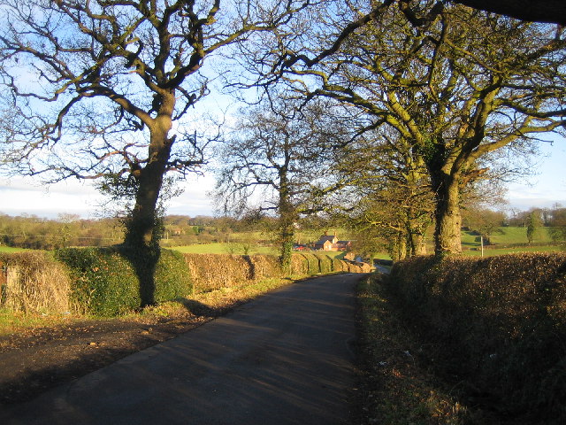
Wall Hill is a prominent hill located in Warwickshire, England. Situated near the village of Alveston, it is part of the larger Cotswold Hills range. Standing at an elevation of approximately 183 meters (600 feet), it offers stunning views of the surrounding countryside.
The hill is known for its significant historical and archaeological significance. It is home to an Iron Age hillfort that dates back to around 500 BC. The fort covers an area of approximately 2.8 hectares and is surrounded by impressive earthwork defenses, including ramparts and ditches. These ancient remains provide valuable insights into the lives and activities of the early inhabitants of the area.
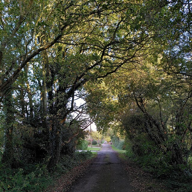
Wall Hill is also a popular destination for outdoor enthusiasts and nature lovers. The hill is covered in lush grassland and scattered with wildflowers, making it an ideal spot for picnics and leisurely walks. The diverse flora and fauna found here add to the area's natural beauty and biodiversity.
In addition to its natural and historical attractions, Wall Hill has become a favored spot for paragliding and hang gliding enthusiasts. Its elevated position and favorable wind conditions make it an ideal launching point for these activities.
Overall, Wall Hill in Warwickshire offers a unique blend of history, natural beauty, and recreational opportunities. Whether visitors are interested in exploring its ancient fortifications, enjoying panoramic views, or engaging in outdoor adventures, this hill is a must-visit destination in the region.
If you have any feedback on the listing, please let us know in the comments section below.
Wall Hill Images
Images are sourced within 2km of 52.452732/-1.5721016 or Grid Reference SP2983. Thanks to Geograph Open Source API. All images are credited.


Wall Hill is located at Grid Ref: SP2983 (Lat: 52.452732, Lng: -1.5721016)
Unitary Authority: Coventry
Police Authority: West Midlands
What 3 Words
///sports.spun.rated. Near Keresley, West Midlands
Nearby Locations
Related Wikis

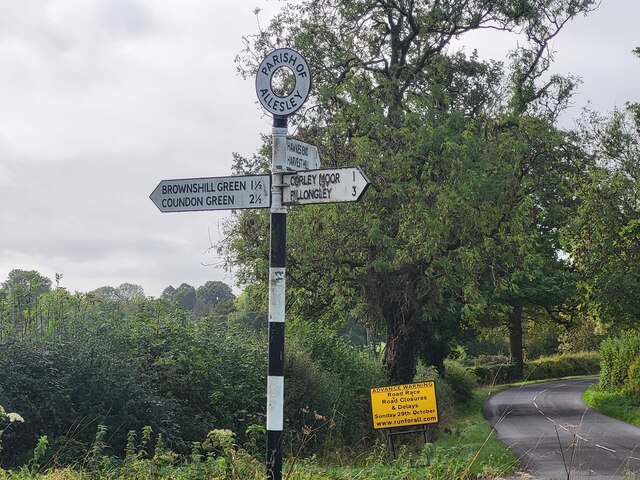
Corley
Corley (and the associated hamlets of Corley Ash and Corley Moor) is a village and civil parish in the North Warwickshire district of Warwickshire, England...

Brownshill Green
Brownshill Green is a suburban hamlet 3.5 miles northwest of Coventry by road, adjacent to the suburbs of Allesley, Coundon and Keresley. It is bordered...

Browns Lane plant
The Browns Lane plant in Coventry, England was built as a Second World War shadow factory run by the Daimler Company. In 1951 it was leased by Jaguar Cars...
Keresley End
Keresley End is a village in the Nuneaton & Bedworth District of Warwickshire, England, also known as Keresley Village or Keresley Newlands. Population...
Nearby Amenities
Located within 500m of 52.452732,-1.5721016Have you been to Wall Hill?
Leave your review of Wall Hill below (or comments, questions and feedback).