Well Hill
Hill, Mountain in Yorkshire
England
Well Hill

Well Hill is a prominent geographical feature located in the county of Yorkshire, England. Situated in the picturesque region of the Yorkshire Dales, this hill/mountain is known for its natural beauty and captivating landscapes. Rising to an elevation of approximately 400 meters (1,312 feet), Well Hill offers breathtaking panoramic views of the surrounding countryside.
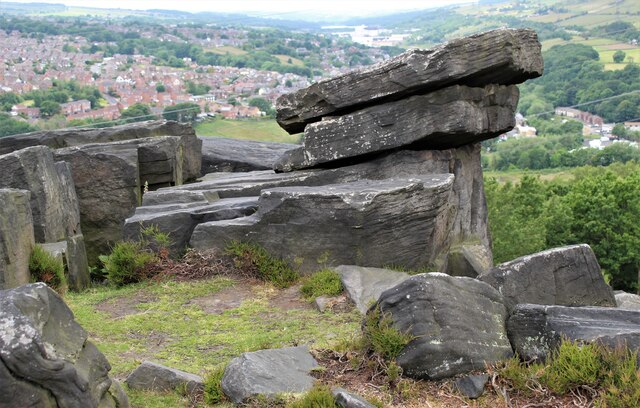
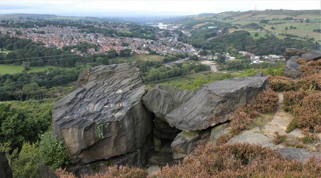
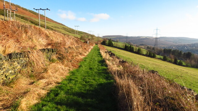
The hill is characterized by its steep and rugged terrain, with rocky outcrops and lush green vegetation covering its slopes. Its distinctive shape and prominence make it a popular destination for hiking and outdoor enthusiasts. Well Hill is a favorite among both locals and tourists looking to challenge themselves with a rewarding climb.
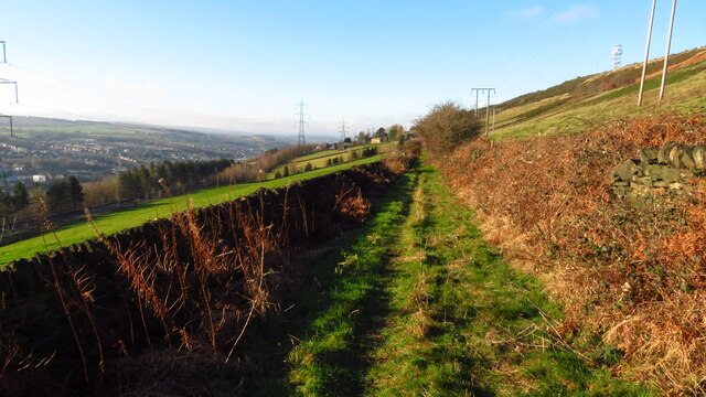
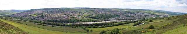
The summit of Well Hill offers a stunning vantage point, allowing visitors to take in the sweeping vistas of the rolling hills, meandering rivers, and quaint villages that dot the Yorkshire countryside. On clear days, it is even possible to catch a glimpse of distant landmarks such as the Yorkshire Three Peaks.
The area surrounding Well Hill is home to a diverse range of flora and fauna, including heather, bracken, and various species of birds and mammals. This natural abundance adds to the allure of the hill, making it an ideal spot for nature enthusiasts and wildlife photographers.
With its natural beauty, challenging terrain, and breathtaking views, Well Hill is undeniably a gem of Yorkshire. Whether it be for a leisurely hike or a more adventurous climb, this hill/mountain offers a memorable experience for all who venture to its summit.
If you have any feedback on the listing, please let us know in the comments section below.
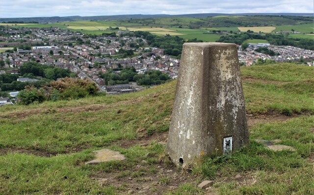
Well Hill Images
Images are sourced within 2km of 53.495065/-1.5621241 or Grid Reference SK2999. Thanks to Geograph Open Source API. All images are credited.


Well Hill is located at Grid Ref: SK2999 (Lat: 53.495065, Lng: -1.5621241)
Division: West Riding
Unitary Authority: Barnsley
Police Authority: South Yorkshire
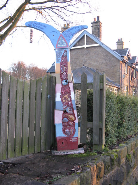
What 3 Words
///chucked.insulated.survivor. Near Wortley, South Yorkshire
Nearby Locations
Related Wikis
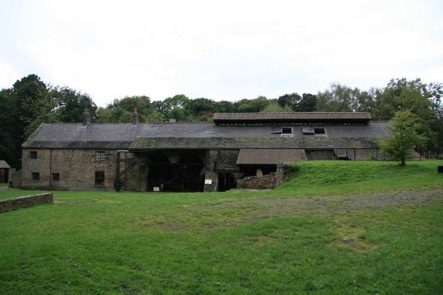
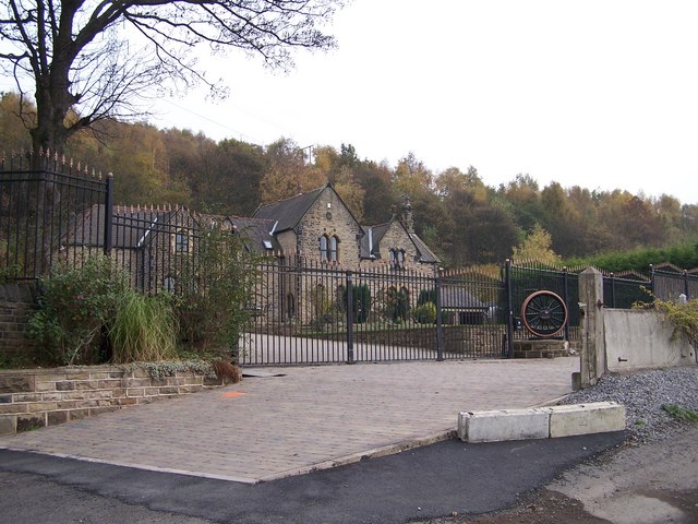
Wortley Top Forge
Wortley Top Forge is an historic former finery forge and ironworks originally dating back to the seventeenth century, although evidence suggests iron working...

Thurgoland railway station
Thurgoland railway station was a small railway station built by the Sheffield, Ashton-Under-Lyne and Manchester Railway to serve the village of Thurgoland...
Wortley railway station
Wortley railway station was a railway station on the Sheffield, Ashton-under-Lyne and Manchester Railway lying between Deepcar and Penistone. It was built...

Thurgoland Tunnel
Thurgoland Tunnel is a double-bore abandoned railway tunnel between Penistone and Wortley. Its total length is 924 feet (282 m). The original tunnel, a...
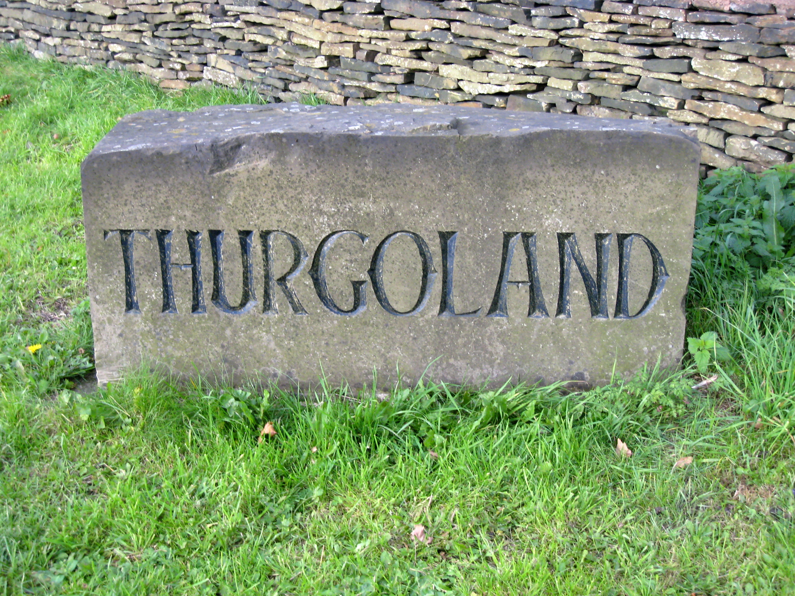
Thurgoland
Thurgoland (, THUR-gə-lənd) is a village and civil parish in the Metropolitan Borough of Barnsley in South Yorkshire, England, on the A629 road. According...
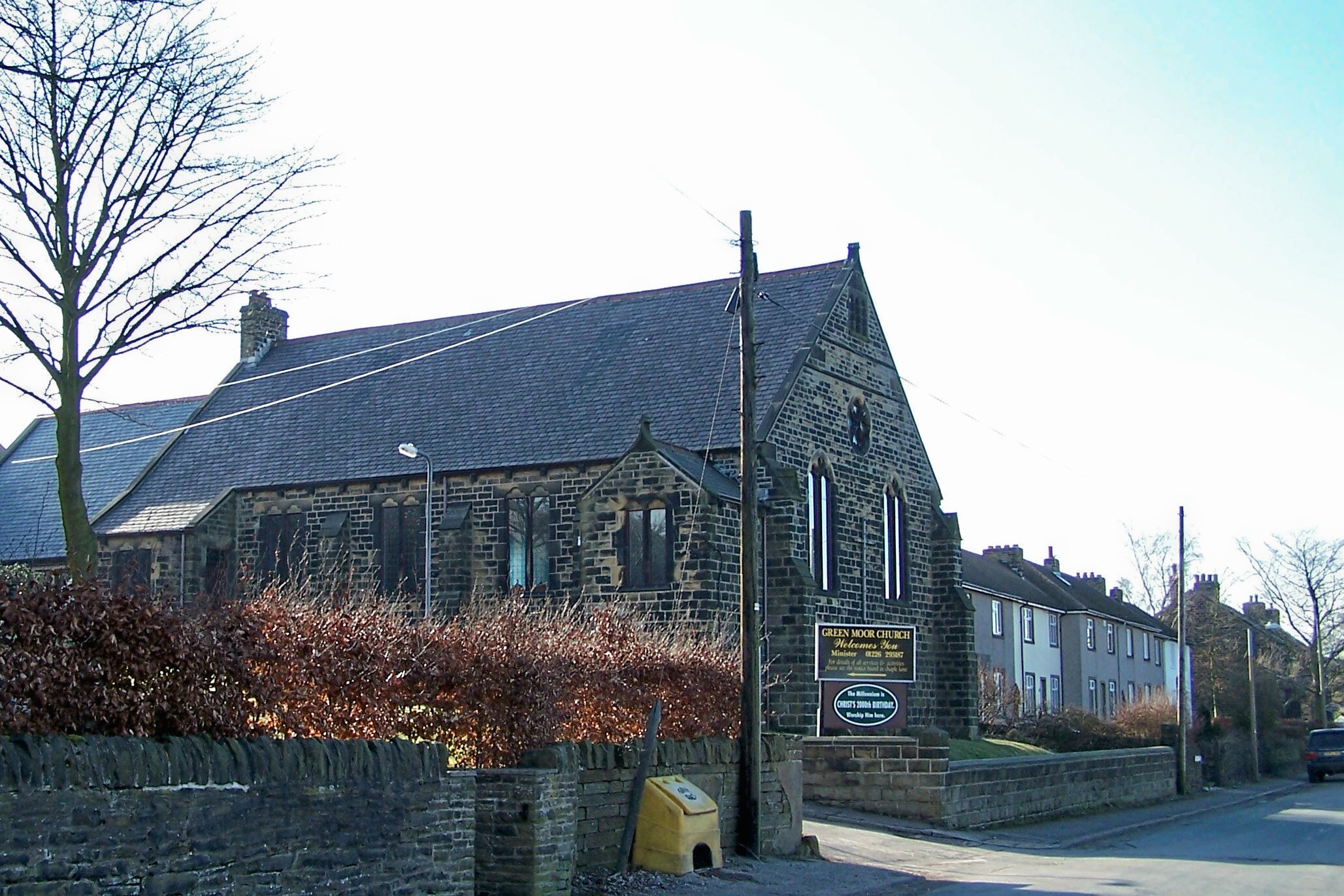
Green Moor
Green Moor is a small hamlet in South Yorkshire, England, in the parish of Hunshelf and close to Penistone and Oxspring. Green Moor used to be a stone...

Little Don River
The Little Don River also known as the Porter, is a tributary of the River Don in South Yorkshire, England. Arising on the Langsett Moors in the northern...
Deepcar railway station
Deepcar railway station, originally "Deep Car", is a disused railway station near Deepcar, South Yorkshire, England. The station, situated on the line...
Nearby Amenities
Located within 500m of 53.495065,-1.5621241Have you been to Well Hill?
Leave your review of Well Hill below (or comments, questions and feedback).