Cadborough Hill
Hill, Mountain in Leicestershire South Derbyshire
England
Cadborough Hill
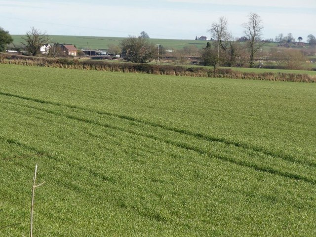
Cadborough Hill is a prominent hill located in the county of Leicestershire, England. Rising to an elevation of approximately 141 meters (463 feet), it is known for its scenic beauty and natural surroundings. Situated near the village of Hallaton, this hill is a popular destination for outdoor enthusiasts and nature lovers.
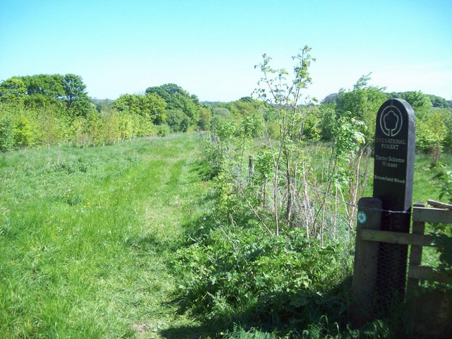
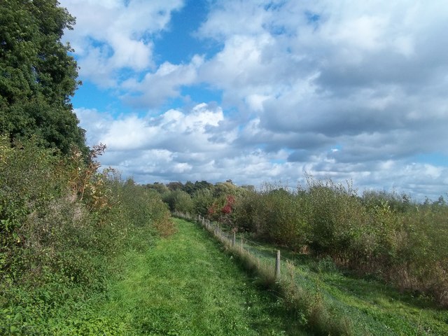
The hill is primarily composed of limestone, which gives it a distinctive appearance and contributes to its unique ecosystem. The presence of limestone also makes Cadborough Hill home to a diverse range of plant and animal species, including several rare and protected species. It is known for its rich biodiversity, with wildflowers, grasses, and shrubs covering its slopes.
Cadborough Hill offers breathtaking views of the surrounding countryside, with rolling hills and lush green fields extending as far as the eye can see. From the summit, visitors can enjoy panoramic views of the nearby villages, Hallaton and Medbourne, as well as the picturesque Welland Valley.
In addition to its natural beauty, Cadborough Hill is also steeped in history. It is believed to have been used as a site for Iron Age settlements, evidenced by the presence of ancient earthworks and burial mounds. The hill also played a significant role in the annual Hallaton Bottle Kicking and Hare Pie Scramble, a traditional event that dates back to Roman times and is still celebrated today.
Overall, Cadborough Hill is a captivating destination that combines natural splendor with historical significance. Whether one is interested in exploring its diverse flora and fauna, enjoying stunning vistas, or delving into its rich cultural heritage, this hill offers a unique experience for visitors of all ages.
If you have any feedback on the listing, please let us know in the comments section below.
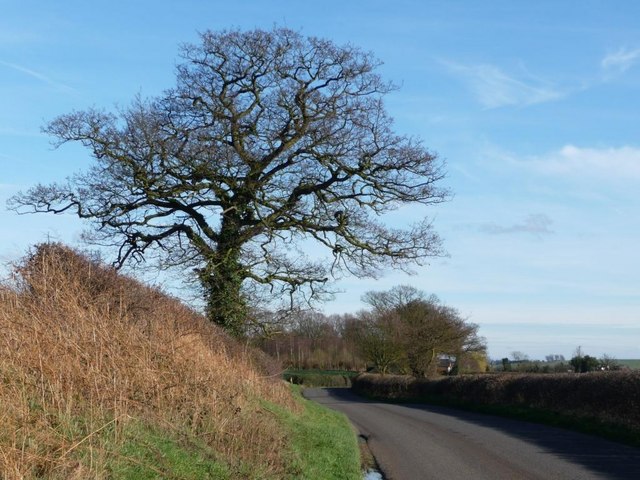
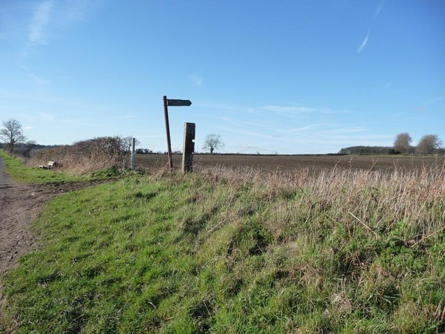
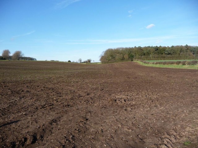
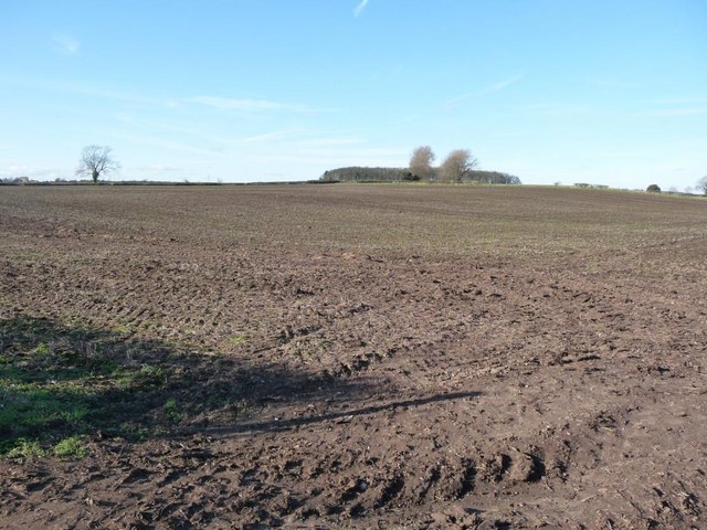
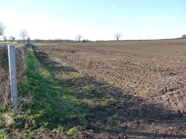
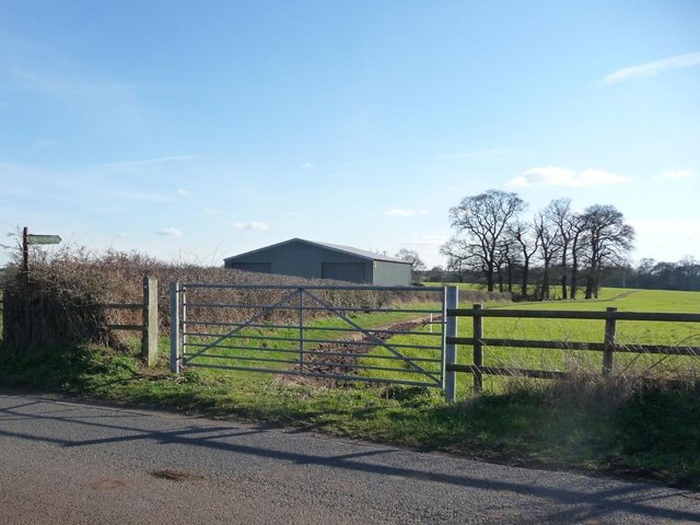
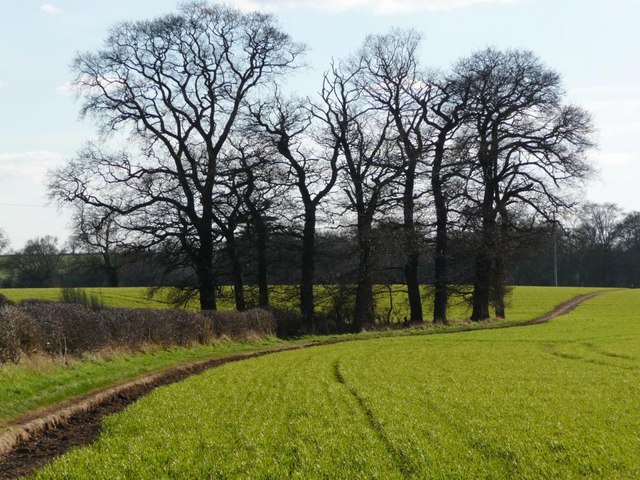
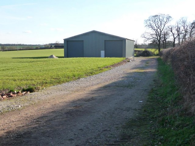
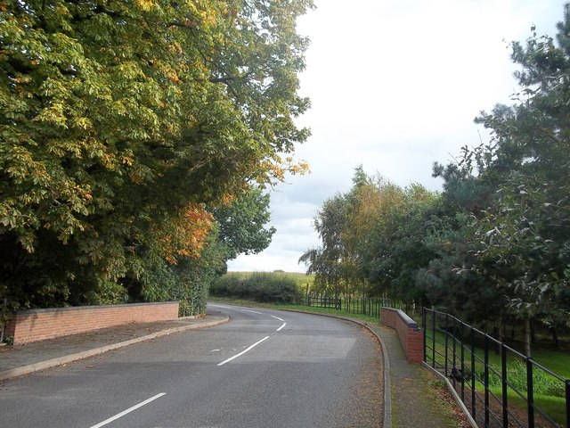
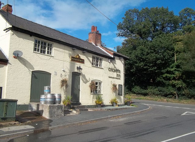
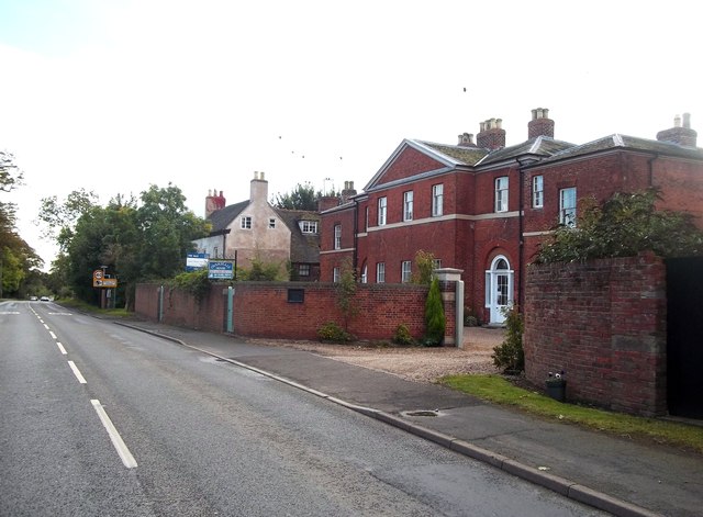
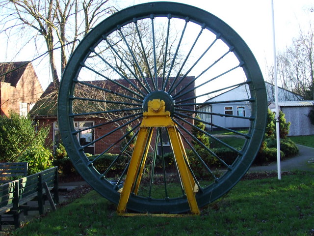
Cadborough Hill Images
Images are sourced within 2km of 52.724856/-1.5700516 or Grid Reference SK2914. Thanks to Geograph Open Source API. All images are credited.


Cadborough Hill is located at Grid Ref: SK2914 (Lat: 52.724856, Lng: -1.5700516)
Administrative County: Derbyshire
District: South Derbyshire
Police Authority: Derbyshire
What 3 Words
///alerting.gather.tickling. Near Donisthorpe, Leicestershire
Nearby Locations
Related Wikis
Overseal
Overseal is a village and civil parish in South Derbyshire district of Derbyshire, England. It is 3 miles (4.8 km) south of Swadlincote, 5 miles (8.0 km...
Netherseal
Netherseal (or 'Netherseale') is a village and civil parish in the English county of Derbyshire, situated in the South Derbyshire district. Together with...

Acresford
Acresford is a hamlet in North West Leicestershire, it shares civil parish authorities with Donisthorpe and Oakthorpe and forms part of the border with...
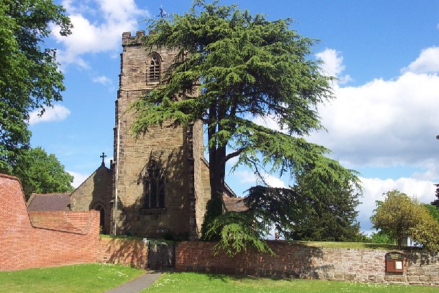
St Peter's Church, Netherseal
St Peter's Church, Netherseal is a Grade II* listed parish church in the Church of England in Netherseal, Derbyshire. == History == The church dates from...

Short Heath, Derbyshire
Short Heath is a hamlet near Overseal, in South Derbyshire. It is on the border with Leicestershire and has a sign where it claims to be the centre of...

Ashby Woulds Heritage Trail
The Ashby Woulds Heritage Trail is a footpath and cycleway along what was formerly the Ashby and Nuneaton railway line between Spring Cottage and Measham...

Donisthorpe
Donisthorpe is a village in the North West Leicestershire district of Leicestershire, England, historically an exclave of Derbyshire. == History == In...

Overseal and Moira railway station
Overseal and Moira railway station served the village of Overseal, Derbyshire, England, from 1873 to 1890 on the Ashby and Nuneaton Joint Railway. ��2...
Nearby Amenities
Located within 500m of 52.724856,-1.5700516Have you been to Cadborough Hill?
Leave your review of Cadborough Hill below (or comments, questions and feedback).