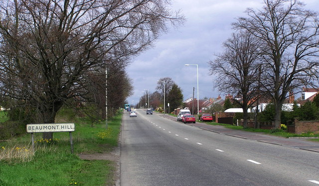
Beaumont Hill

Hill, Mountain in Durham

England

Beaumont Hill

River Skerne at Ketton River Skerne at Ketton
River Skerne at Ketton Credit: john durkin

Beaumont Hill is a prominent landmark located in Durham, England. It is a hill/mountain that forms part of the larger North Pennines Area of Outstanding Natural Beauty. Standing at an elevation of approximately 360 meters (1,181 feet), it offers breathtaking panoramic views of the surrounding countryside.

The hill is covered in lush greenery, with its slopes adorned by a variety of flora and fauna. It is particularly known for its heather moorland, which bursts into a vibrant display of purple during the summer months. This creates a picturesque and serene setting for hikers, nature enthusiasts, and photographers alike.

Beaumont Hill is a popular destination for outdoor activities such as walking, hiking, and birdwatching. Several well-marked trails crisscross the hill, providing visitors with ample opportunities to explore its diverse landscapes. The hill is home to a diverse range of bird species, including red grouse, curlew, and lapwing, making it a haven for birdwatchers.

The summit of Beaumont Hill offers breathtaking views of the surrounding area, including the nearby city of Durham, the River Wear, and the rolling countryside. On clear days, it is even possible to catch a glimpse of the distant North Sea.

Overall, Beaumont Hill is a natural gem that showcases the beauty of the English countryside. With its stunning vistas, diverse wildlife, and tranquil atmosphere, it is a must-visit destination for those seeking a peaceful escape in nature.

If you have any feedback on the listing, please let us know in the comments section below.

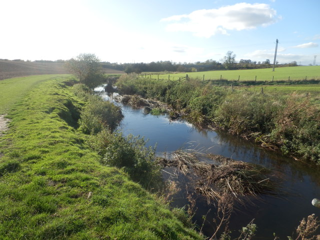
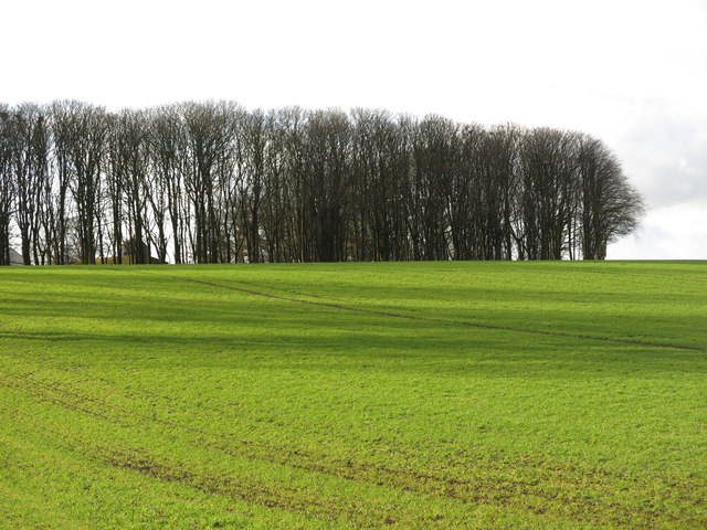
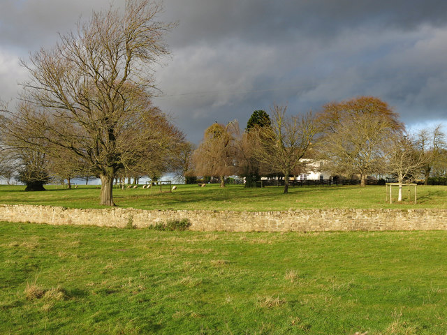
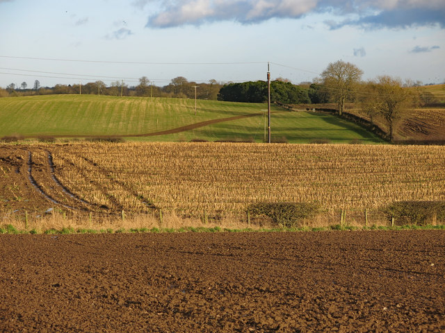
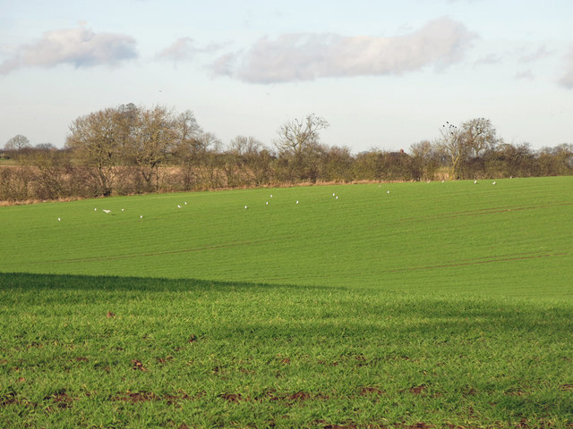
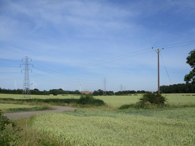
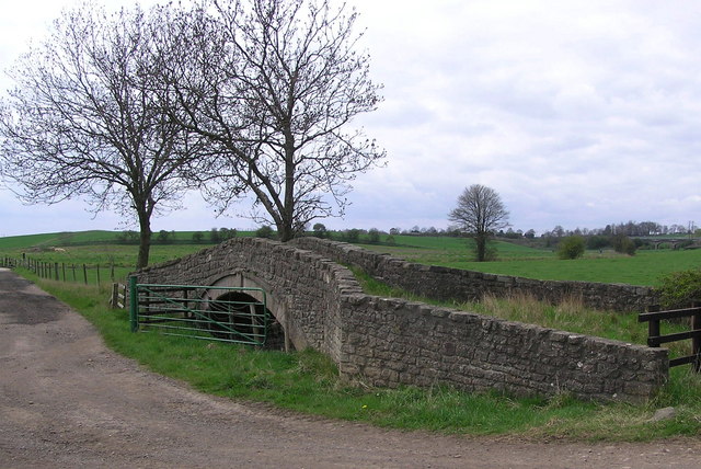
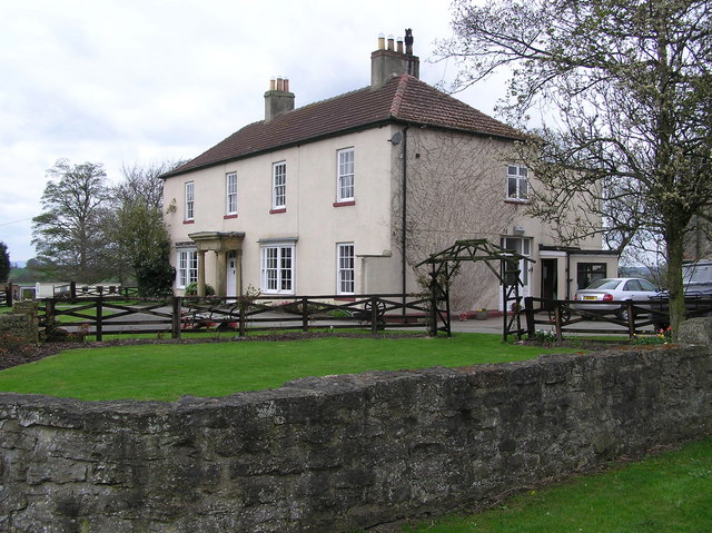
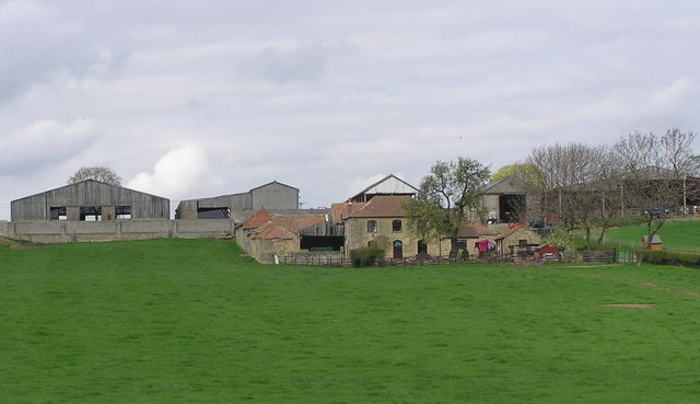
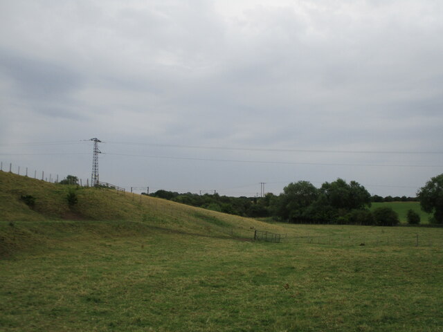
Beaumont Hill Images

Images are sourced within 2km of 54.567374/-1.5563626 or Grid Reference NZ2819. Thanks to Geograph Open Source API. All images are credited.

River Skerne at Ketton River Skerne at Ketton
River Skerne at Ketton
Farmland and copse north of Ketton Hall
Farmland south of Peartree House Looking across the valley of the River Skerne from Ketton Lane, with the <a href="https://www.geograph.org.uk/photo/161090">NZ3019 : Ketton Packhorse  Bridge</a> (photographed by Hugh Mortimer) on the right.
Farmland south of Peartree House
Looking across the valley of the River Skerne from Ketton Lane, with the NZ3019 : Ketton Packhorse Bridge (photographed by Hugh Mortimer) on the right.
Ketton Hall
Ketton Hall
Farmland south of East Ketton
Farmland north of Ketton Hall
Field on Low Skerningham Lane
Farmland Near Whiley Hill Farm
Ketton Packhorse  Bridge On the course of Ketton Road an ancient Drove Road. Medieval in date (1066-1540). The course of the river has been changed and now runs to the south.
Ketton Packhorse Bridge
On the course of Ketton Road an ancient Drove Road. Medieval in date (1066-1540). The course of the river has been changed and now runs to the south.
Ketton Hall Ketton Hall was the home of Charles Colling, a well-known stock breeder. In 1784 he is said to have paid eight guineas for a bull from a neighbouring farmer, and after naming it 'Hubback', he used it to breed Durham short-horns. He received the first ever 100-guinea fee paid for a Shorthorn and, when he gave up farming, his bull, 'Comet' fetched 1,000 guineas.
Ketton Hall
Ketton Hall was the home of Charles Colling, a well-known stock breeder. In 1784 he is said to have paid eight guineas for a bull from a neighbouring farmer, and after naming it 'Hubback', he used it to breed Durham short-horns. He received the first ever 100-guinea fee paid for a Shorthorn and, when he gave up farming, his bull, 'Comet' fetched 1,000 guineas.
Peartree  House Farm : with Ketton Hall to the right.
Peartree House
Farm : with Ketton Hall to the right.
Wetland area in Skerningham Community Woodland Developed with the woodland just north of Darlington
Wetland area in Skerningham Community Woodland
Developed with the woodland just north of Darlington
Fields Near Whessoe House
Electricity Power Lines by the A1(M)
Field on Ketton Lane
Public footpath going under the ECML
Small footbridge on public footpath A small overgrown footbridge on a public footpath near Darlington
Small footbridge on public footpath
A small overgrown footbridge on a public footpath near Darlington
Fields between railway and motorway Rough pasture between the A1 (M) motorway and the Darlington - Bishop Auckland railway.
Fields between railway and motorway
Rough pasture between the A1 (M) motorway and the Darlington - Bishop Auckland railway.
Show me another place!

Beaumont Hill is located at Grid Ref: NZ2819 (Lat: 54.567374, Lng: -1.5563626)

Unitary Authority: Darlington

Police Authority: Durham

What 3 Words

///bravo.prep.unwanted. Near Coatham Mundeville, Co. Durham

Related Wikis

A167 road

The A167 and A167(M) is a road in North East England. It is partially a trunk road and partially a motorway, where it is commonly referred to as Newcastle...

Redcar Field

Redcar Field is a Site of Special Scientific Interest in the Darlington district of County Durham, England. It is situated just north of Darlington, about...

Beaumont Hill

Beaumont Hill is a village in the borough of Darlington and the traditional and ceremonial counties of Durham in England, situated directly to the north...

Coatham Mundeville

Coatham Mundeville is a village in the borough of Darlington and the ceremonial county of County Durham, England. It is situated a short distance from...

Harrowgate, County Durham

Harrowgate is a suburb of Darlington in the Borough of Darlington, County Durham, England. The area includes the villages of Beaumont Hill, the Harrowgate...

Brafferton, County Durham

Brafferton is a village and civil parish in County Durham, England. It is administered as part of the borough of Darlington. The population of Brafferton...

Longfield Academy, Darlington

Longfield Academy (formerly Longfield Comprehensive School, Longfield Academy of Sport) is a coeducational secondary school located in Darlington, County...

Rise Carr

Rise Carr is a place in County Durham, in England. It is situated to the north of the centre of Darlington. == Notable people == Rise Carr was the birthplace...

Nearby Amenities

Located within 500m of 54.567374,-1.5563626
Design: asymmetric
Material: metal
Power: tower
Lat/Long: 54.5656494/-1.5516986
Power: tower
Lat/Long: 54.5662222/-1.5489931
Design: asymmetric
Material: metal
Power: tower
Lat/Long: 54.5645566/-1.5526895
Material: metal
Power: tower
Lat/Long: 54.563458/-1.5536856
Beaumont Hill
Ele: 92.7
Man Made: survey_point
Material: concrete
Ref: NZ42T001
Tpuk Ref: TP1120
Website: https://trigpointing.uk/trig/1120
Lat/Long: 54.5673853/-1.5563799
Generator Method: wind_turbine
Generator Source: wind
Power: generator
Lat/Long: 54.5673254/-1.5566066
The data included in this document is from www.openstreetmap.org. The data is made available under ODbL.

Have you been to Beaumont Hill?

Leave your review of Beaumont Hill below (or comments, questions and feedback).