Bullhurst Hill
Hill, Mountain in Derbyshire Amber Valley
England
Bullhurst Hill

Bullhurst Hill, located in Derbyshire, England, is a prominent hill that offers stunning panoramic views of the surrounding countryside. Rising to an altitude of approximately 307 meters (1,007 feet), it is considered a significant landmark in the region. Bullhurst Hill is situated near the small village of Ashover, just a few miles northeast of Matlock.
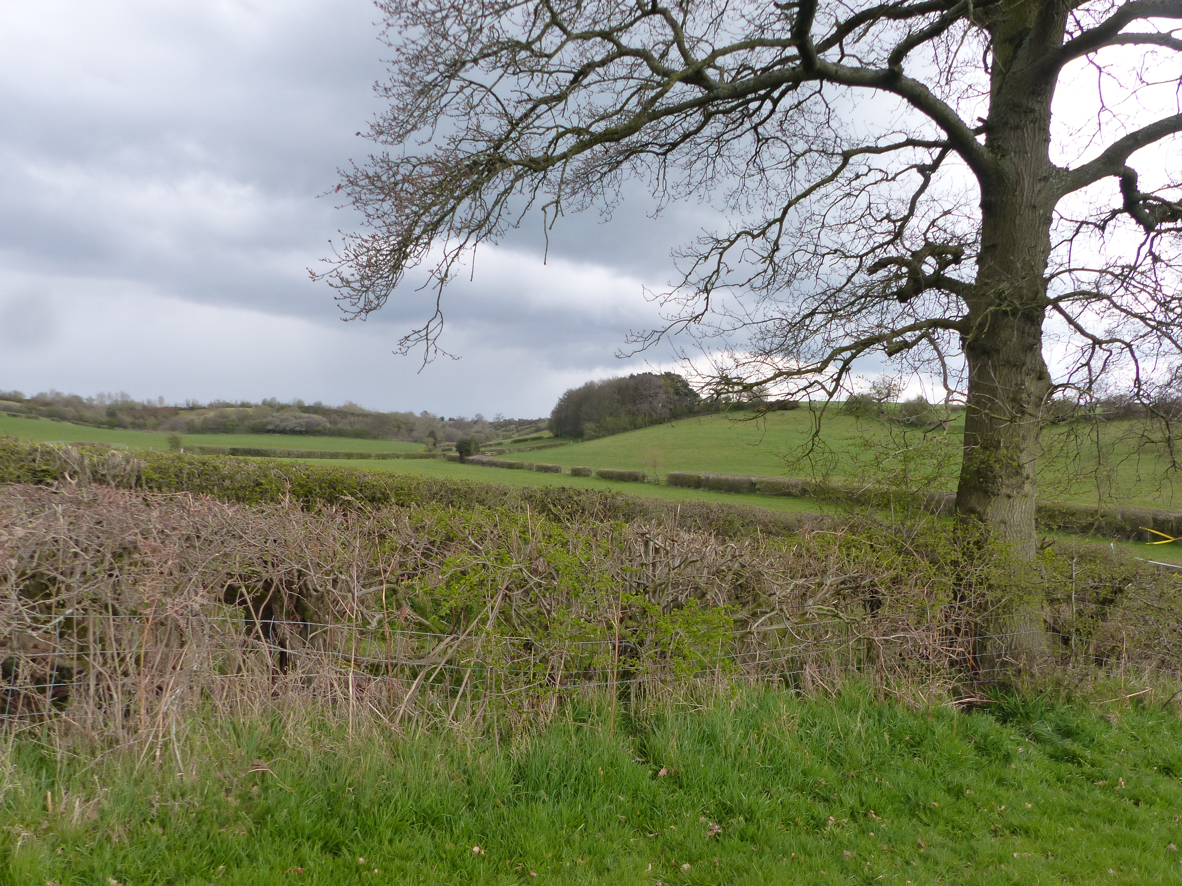
As visitors ascend the hill, they are greeted with a diverse landscape comprising rolling green fields, charming woodlands, and picturesque valleys. The hill itself is covered in lush grass and scattered with rocky outcrops, adding to its natural beauty. Its elevated position provides an excellent vantage point to admire the undulating hills and valleys that stretch across Derbyshire.
Bullhurst Hill is a popular destination for outdoor enthusiasts, offering several walking trails and footpaths that crisscross its slopes. These paths are well-maintained and suitable for walkers of all abilities, allowing visitors to explore the area's natural wonders at their own pace. The hill's summit provides a perfect spot for picnics or simply to pause and take in the breathtaking views.
The hill also holds historical significance, with evidence of Iron Age settlements found in the vicinity. Additionally, Bullhurst Hill is part of a larger network of hills and ridges known as the Amber Valley Uplands, which are important for their ecological value and biodiversity.
Overall, Bullhurst Hill is a cherished natural landmark in Derbyshire, offering visitors a chance to escape the hustle and bustle of everyday life and immerse themselves in the tranquility of the British countryside.
If you have any feedback on the listing, please let us know in the comments section below.
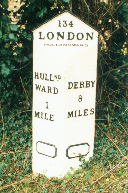
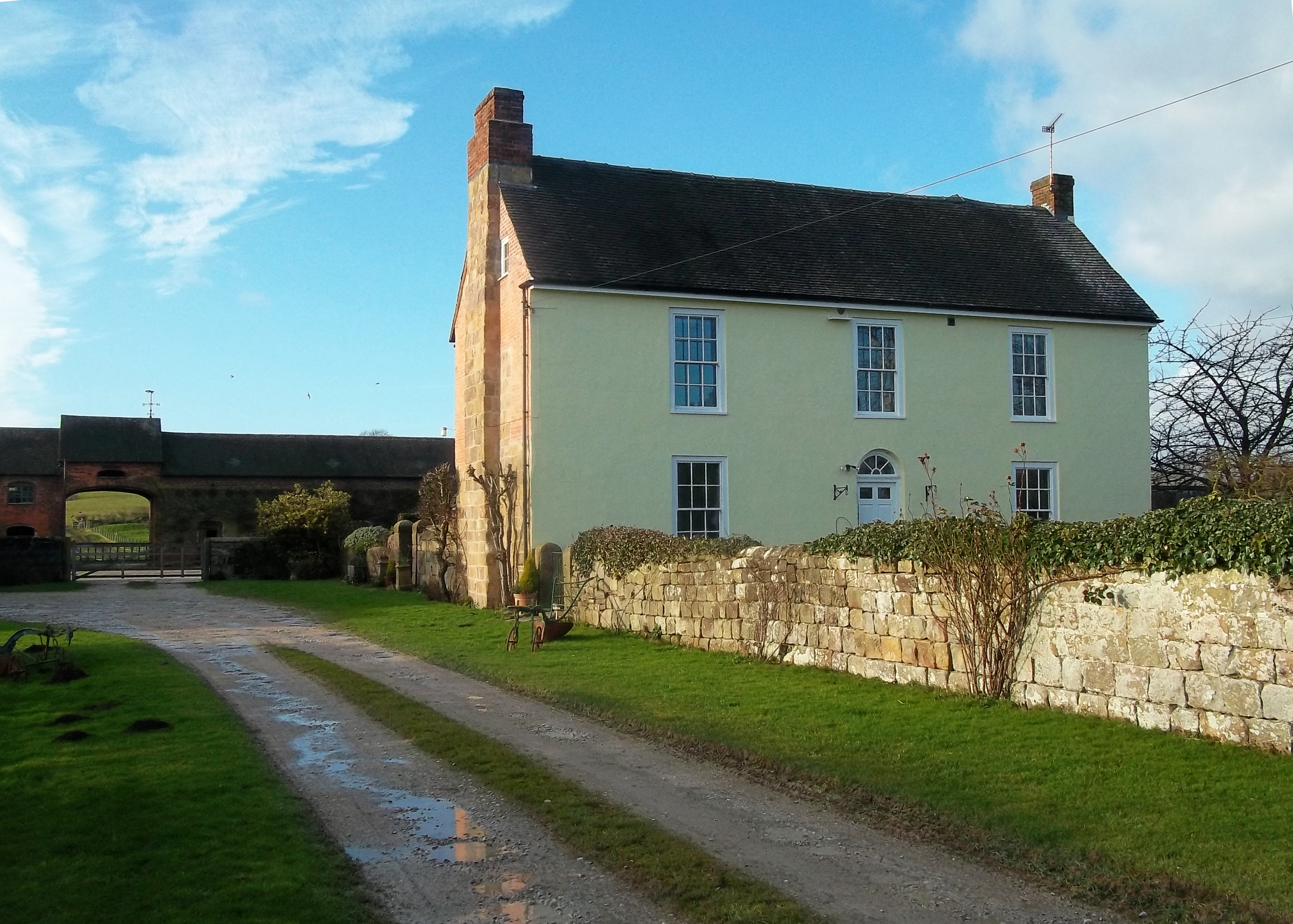
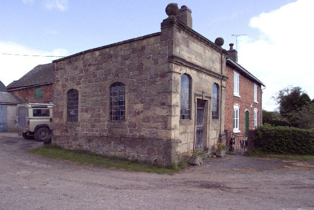
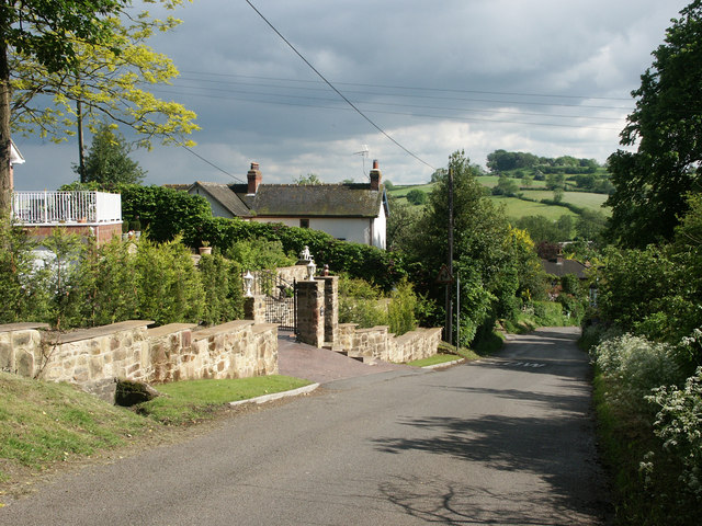
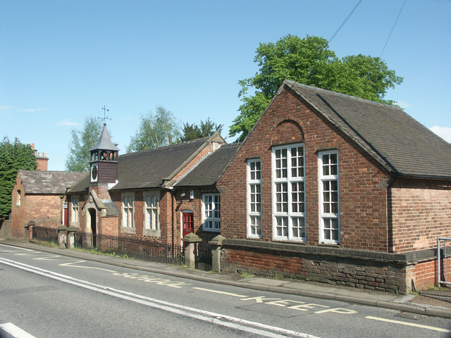
Bullhurst Hill Images
Images are sourced within 2km of 52.990261/-1.5726959 or Grid Reference SK2843. Thanks to Geograph Open Source API. All images are credited.


Bullhurst Hill is located at Grid Ref: SK2843 (Lat: 52.990261, Lng: -1.5726959)
Administrative County: Derbyshire
District: Amber Valley
Police Authority: Derbyshire
What 3 Words
///loaded.pipes.improving. Near Duffield, Derbyshire
Nearby Locations
Related Wikis

All Saints' Church, Mugginton
All Saints’ Church, Mugginton is a Grade I listed parish church in the Church of England in Weston Underwood, Derbyshire. == History == The church dates...
Ravensdale Park
Ravensdale Park is a civil parish in the Derbyshire Dales district of Derbyshire roughly 3 miles (5 km) WSW of Belper, Derbyshire, England, midway between...

Weston Underwood, Derbyshire
Weston Underwood is an agricultural village and civil parish in the Amber Valley district of Derbyshire. The population of the Civil Parish (comprising...
Mercaston Hall
Mercaston Hall is a 16th-century timber framed farmhouse within the hamlet of Mercaston, near the market town of Ashbourne, Derbyshire, England. It is...
Mercaston
Mercaston is a hamlet in Derbyshire, England. It is located in the Peak District 7 miles west of Duffield. It is in the civil parish of Hulland Ward. In...
Windley
Windley is a small village and civil parish in Derbyshire, England, around 6 miles (10 km) north of Derby, adjacent to the B5023 Duffield to Wirksworth...
Turnditch
Turnditch is a village and civil parish in the Amber Valley district of Derbyshire, England. The population of the civil parish at the 2011 Census was...
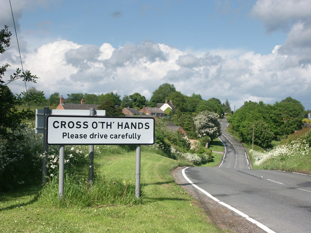
Cross o' th' Hands
Cross o' th' Hands is a small area of settlement in Derbyshire, England, 10 miles (16 km) north-west of Derby on the A517 road between Hulland and Turnditch...
Nearby Amenities
Located within 500m of 52.990261,-1.5726959Have you been to Bullhurst Hill?
Leave your review of Bullhurst Hill below (or comments, questions and feedback).