Beacon Hill
Hill, Mountain in Northumberland
England
Beacon Hill

Beacon Hill is a prominent hill located in Northumberland, England. It stands at an elevation of 345 meters (1132 feet) above sea level, making it one of the highest points in the region. The hill is situated in the southern part of Northumberland, near the market town of Morpeth.
Beacon Hill derives its name from the historical use of its summit as a signaling point. In the past, a beacon was lit at the top of the hill to communicate important messages or warnings across the surrounding countryside. This tradition dates back to ancient times and was particularly significant during periods of conflict or invasion.
The hill is known for its stunning panoramic views, offering visitors an expansive vista of the surrounding Northumberland countryside. On a clear day, it is possible to see as far as the Cheviot Hills to the north and the North Sea coast to the east. The area is also rich in natural beauty, with heather-covered moorlands, lush green meadows, and scattered woodlands.
Beacon Hill is a popular destination for outdoor enthusiasts and nature lovers. The hill is crisscrossed with numerous walking trails, offering opportunities for hikers of all levels to explore its diverse landscapes. The paths are well-maintained and provide access to the hill's summit, where a trig point marks the highest point.
In addition to its natural beauty, Beacon Hill is also home to a variety of wildlife, including birds of prey, such as kestrels and buzzards, and a range of small mammals. The hill's diverse habitats provide a haven for many species, making it an important area for conservation.
Overall, Beacon Hill in Northumberland offers visitors a chance to immerse themselves in the beauty of the region, providing breathtaking views, diverse landscapes, and a slice of local history.
If you have any feedback on the listing, please let us know in the comments section below.
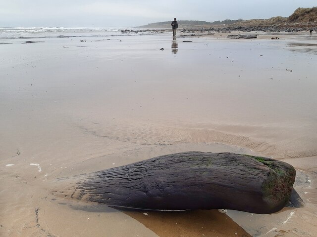
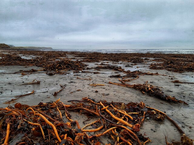
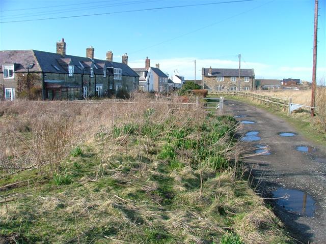
Beacon Hill Images
Images are sourced within 2km of 55.321698/-1.5522064 or Grid Reference NU2803. Thanks to Geograph Open Source API. All images are credited.


Beacon Hill is located at Grid Ref: NU2803 (Lat: 55.321698, Lng: -1.5522064)
Unitary Authority: Northumberland
Police Authority: Northumbria
What 3 Words
///gobblers.scatters.zones. Near Amble, Northumberland
Nearby Locations
Related Wikis
Low Hauxley
Low Hauxley is a small village in Northumberland, in the former Alnwick district, less than 1 mile (1.6 km) from Amble and around 27 miles (43 km) from...
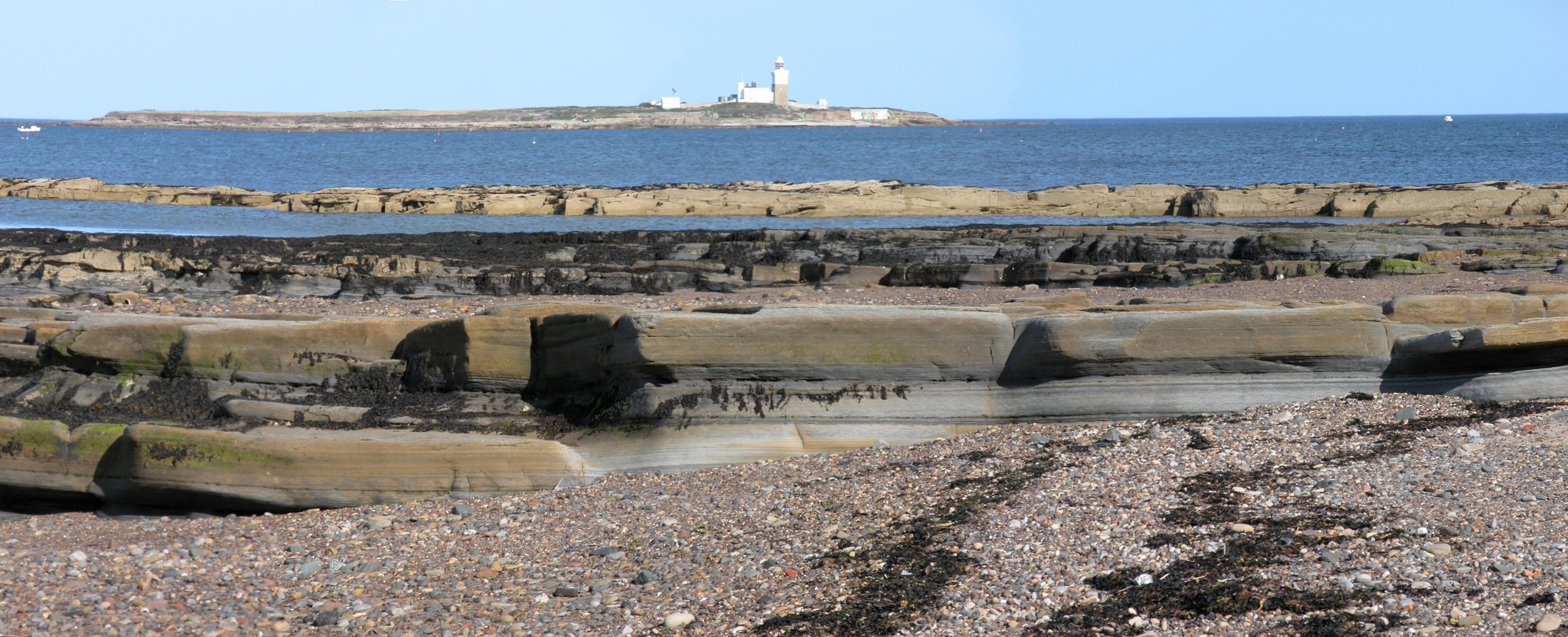
Coquet Island
Coquet Island is a small island of about 6 hectares (15 acres), situated 1.2 kilometres (0.75 mi) off Amble on the Northumberland coast, northeast England...
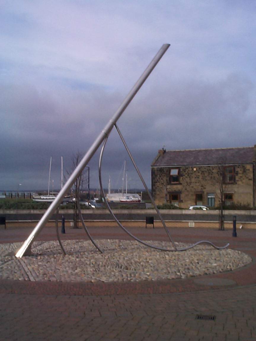
Amble
Amble is a town on the North Sea coast of Northumberland, England, at the mouth of the River Coquet; Coquet Island is visible from its beaches and harbour...

Hadston Skeers
Hadston Skeers (or Carrs) (Ordnance Survey reference NU 283428) are towards the northern End of Druridge Bay, Northumberland. They are made up of shelves...
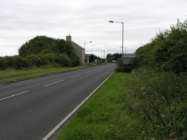
Radcliffe, Northumberland
Radcliffe is a settlement in the county of Northumberland, England. It is located 1 km south of the town of Amble. Radcliffe was a mining community, once...

River Coquet
The River Coquet runs through the county of Northumberland, England, discharging into the North Sea on the east coast at Amble. It rises in the Cheviot...
Amble railway station
Amble railway station was the terminus of the Amble branch line, which diverged from the East Coast Main Line at Chevington in Northumberland, Northern...
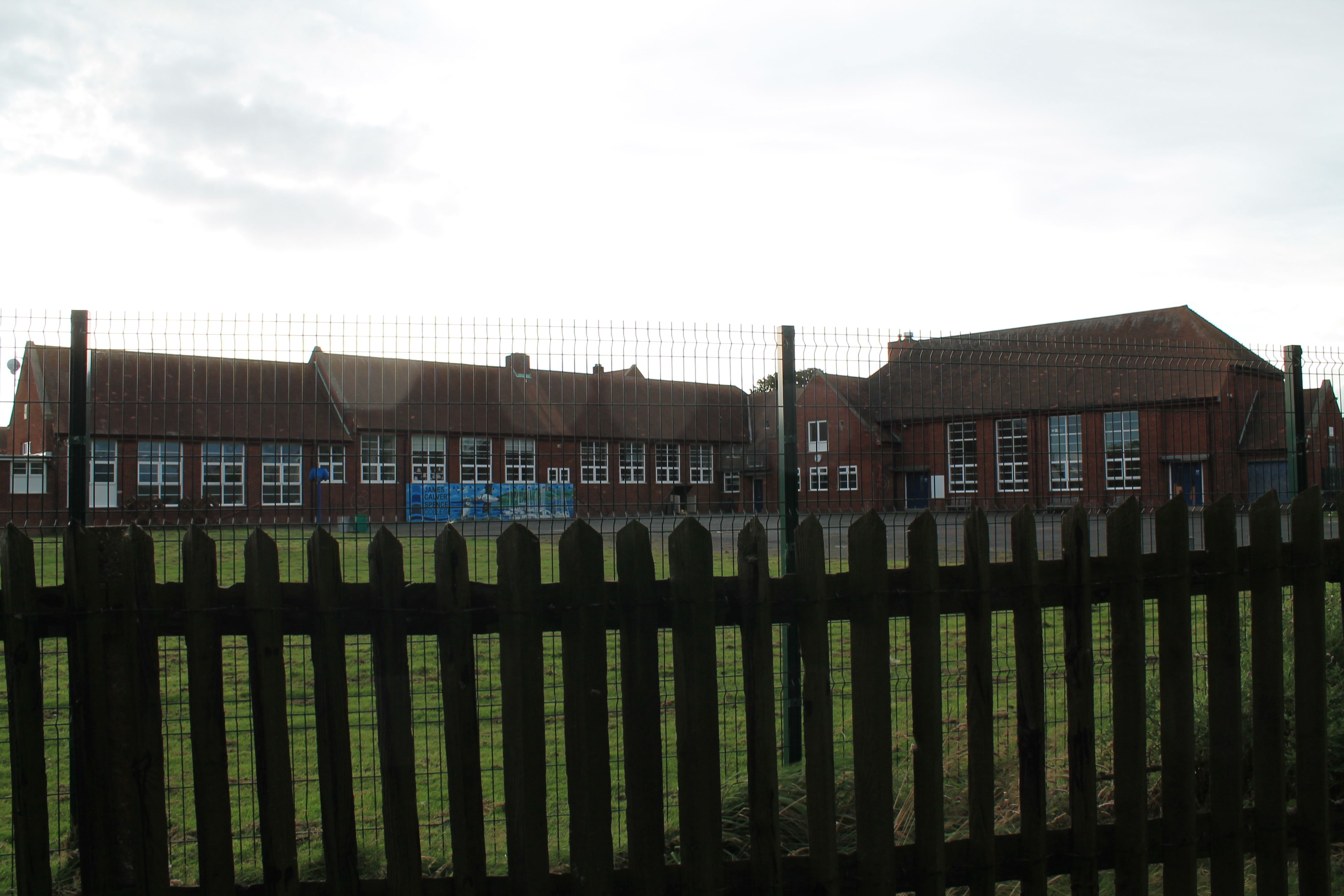
James Calvert Spence College
James Calvert Spence College is a coeducational community school and sixth form located in Amble in the English county of Northumberland. The school is...
Nearby Amenities
Located within 500m of 55.321698,-1.5522064Have you been to Beacon Hill?
Leave your review of Beacon Hill below (or comments, questions and feedback).