Coney Hill

Hill, Mountain in Yorkshire Harrogate

England

Coney Hill

Thwaites Lane Looking west along Thwaites Lane towards Markington.
Thwaites Lane Credit: David Rogers

Coney Hill is a prominent landmark located in Yorkshire, England. Situated in the picturesque region of North Yorkshire, it is part of the expansive North York Moors National Park. The hill is situated approximately 2 miles southeast of the town of Guisborough and stands at an elevation of around 317 meters (1,040 feet) above sea level.

Coney Hill offers breathtaking panoramic views of the surrounding countryside, making it a popular destination for hikers, nature enthusiasts, and photographers. It is covered in lush green vegetation, dotted with heather and wildflowers, adding to its natural beauty. The hill is also home to a diverse range of wildlife, including birds, rabbits, and other small mammals.

The area surrounding Coney Hill is steeped in history, with evidence of human activity dating back to prehistoric times. There are several Bronze Age burial mounds in the vicinity, adding an additional layer of intrigue to the area's rich heritage.

Visitors to Coney Hill can explore the numerous walking trails and footpaths that crisscross the hill, allowing them to experience its stunning vistas and peaceful atmosphere. It is a perfect spot for a leisurely stroll, a family picnic, or even a more challenging hike for the experienced adventurer.

Overall, Coney Hill in Yorkshire offers a unique opportunity to immerse oneself in the natural beauty and history of the region, making it a must-visit destination for both locals and tourists alike.

If you have any feedback on the listing, please let us know in the comments section below.

Coney Hill Images

Images are sourced within 2km of 54.091133/-1.5692683 or Grid Reference SE2866. Thanks to Geograph Open Source API. All images are credited.

Thwaites Lane Looking west along Thwaites Lane towards Markington.
Thwaites Lane
Looking west along Thwaites Lane towards Markington.
Markenfield Hall Gatehouse Markenfield Hall is situated deep in the Yorkshire countryside surrounded by its own farmland, three miles south of Ripon. It is a completely moated and fortified Manor House built in 1310.
Markenfield Hall Gatehouse
Markenfield Hall is situated deep in the Yorkshire countryside surrounded by its own farmland, three miles south of Ripon. It is a completely moated and fortified Manor House built in 1310.
Markenfield Hall The Hall is surrounded by a moat.  This photograph was taken on the bridge over the moat and looking through the Gatehouse.
Markenfield Hall
The Hall is surrounded by a moat. This photograph was taken on the bridge over the moat and looking through the Gatehouse.
Chapel on How Hill This strange little building has fascinated me for years. It seems vaguely eerie, especially on a dark moonlit night. I know nothing about its history, maybe its connected to nearby Fountains Abbey - it looks suitable for occupation by a hermit.  It is on private land so it is not open to visitors. See SE2766
Chapel on How Hill
This strange little building has fascinated me for years. It seems vaguely eerie, especially on a dark moonlit night. I know nothing about its history, maybe its connected to nearby Fountains Abbey - it looks suitable for occupation by a hermit. It is on private land so it is not open to visitors. See SE2766
How Hill In relation to its modest altitude this little hill can be seen for miles in all directions. Its distinctive wooded top seems to draw the eye
How Hill
In relation to its modest altitude this little hill can be seen for miles in all directions. Its distinctive wooded top seems to draw the eye
Haddockstones Large Farm and ancillary buildings, about half a mile south of How Hill
Haddockstones
Large Farm and ancillary buildings, about half a mile south of How Hill
Causeway over Fish Pond A footpath on a causeway splits this body of water in two - though not in equal halves.  Pond seems a bit of an under exaggeration, it is more like a small lake
Causeway over Fish Pond
A footpath on a causeway splits this body of water in two - though not in equal halves. Pond seems a bit of an under exaggeration, it is more like a small lake
Fish Pond This is man made.  But was it constructed by the brethren of Fountains Abbey to provide their refectory with fish, or does it serve a more ornamental service to nearby Sawley Hall?
Fish Pond
This is man made. But was it constructed by the brethren of Fountains Abbey to provide their refectory with fish, or does it serve a more ornamental service to nearby Sawley Hall?
Markington Small Village between Ripon and Harrogate
Markington
Small Village between Ripon and Harrogate
Road west out of Markington The road heading to the village of Bishop Thornton, from Markington
Road west out of Markington
The road heading to the village of Bishop Thornton, from Markington
Horse Mill Lane This bridleway crosses Ingerthorpe Moor, linking Thwaites Lane with Wormald Green.
Horse Mill Lane
This bridleway crosses Ingerthorpe Moor, linking Thwaites Lane with Wormald Green.
Farnley Grange farmhouse Farnley Grange Farmhouse hasn't been a working farm for at least 25 years. The house fronts directly onto the lane.
Farnley Grange farmhouse
Farnley Grange Farmhouse hasn't been a working farm for at least 25 years. The house fronts directly onto the lane.
Ingerthorpe Hall This is a working farm.
Ingerthorpe Hall
This is a working farm.
Markington Church Church of Saint Michael the Archangel in the Parishes of Markington, South Stainley and Bishop Thornton
Markington Church
Church of Saint Michael the Archangel in the Parishes of Markington, South Stainley and Bishop Thornton
Whitcliffe Lane This is the road from Howe Hill Road to Morcar Grange.
Whitcliffe Lane
This is the road from Howe Hill Road to Morcar Grange.
The Tower
The Tower
Markenfield Hall
Markenfield Hall
Black Swan in Markenfield Hall Moat
Show me another place!

Coney Hill is located at Grid Ref: SE2866 (Lat: 54.091133, Lng: -1.5692683)

Division: West Riding

Administrative County: North Yorkshire

District: Harrogate

Police Authority: North Yorkshire

What 3 Words

///caring.candidate.tasteful. Near Ripon, North Yorkshire

Related Wikis

Ingerthorpe

Ingerthorpe is a hamlet and former civil parish about 7 miles (11 km) from Harrogate, now in the parish of Markington with Wallerthwaite, in the Harrogate...

Markington

Markington is a village in the Harrogate district, in the English county of North Yorkshire. The population of the civil parish (including Markenfield...
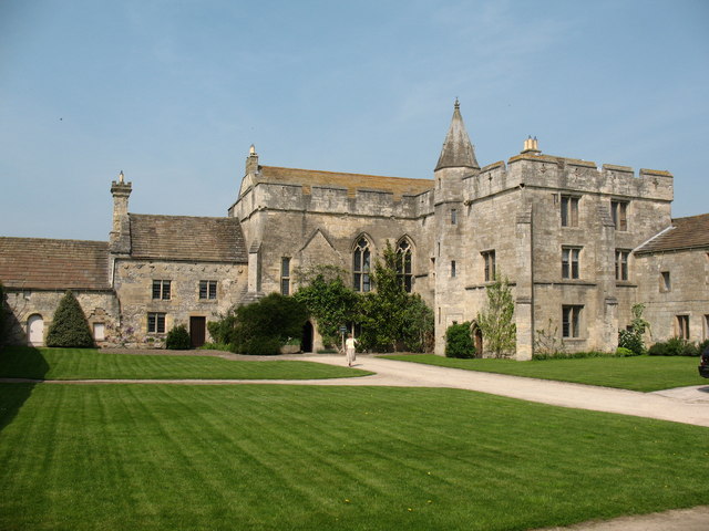
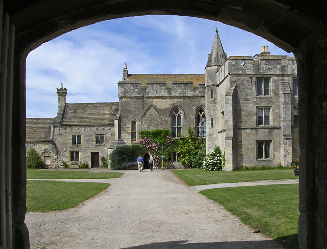
Markenfield Hall

Markenfield Hall is an early 14th-century moated manor house about 3 miles (5 km) south of Ripon, North Yorkshire, England. It is in the civil parish of...

Fountains Abbey

Fountains Abbey is one of the largest and best preserved ruined Cistercian monasteries in England. It is located approximately 3 miles (5 km) south-west...

Fountains Hall

Fountains Hall is a country house near Ripon in North Yorkshire, England, located within the World Heritage Site at Studley Royal Park which include the...

Wormald Green railway station

Wormald Green railway station served the village of Wormald Green, Harrogate, England from 1848 to 1964 on the Leeds-Northallerton Railway. == History... ==

Wormald Green

Wormald Green is a village in the civil parish of Markington with Wallerthwaite in the district of Harrogate, North Yorkshire, England. In 2016, Harrogate...

Studley Roger

Studley Roger is a small village and civil parish in the Harrogate district of North Yorkshire, England, and it is about 1 mile west of the historical...

Nearby Amenities

Located within 500m of 54.091133,-1.5692683
Toilets
Lat/Long: 54.0873419/-1.5652785
Barrier: stile
Lat/Long: 54.089338/-1.5746592
The data included in this document is from www.openstreetmap.org. The data is made available under ODbL.

Have you been to Coney Hill?

Leave your review of Coney Hill below (or comments, questions and feedback).