Long Lands
Downs, Moorland in Yorkshire Harrogate
England
Long Lands

Located in the county of Yorkshire, England, Long Lands is a vast expanse of diverse landscape that encompasses both downs and moorland. Stretching across an area of approximately 500 square miles, this region offers a breathtaking blend of rolling hills, open meadows, and rugged terrain.
The downs of Long Lands are characterized by their gentle slopes and fertile soil, making them ideal for agriculture. Farmers have utilized these lands for centuries, cultivating crops such as wheat, barley, and potatoes. The downs also provide ample grazing opportunities for livestock, particularly sheep, which dot the landscape with their presence.
In contrast, the moorland of Long Lands offers a more dramatic and wild atmosphere. With its heather-covered hills and rocky outcrops, this area is a haven for hikers and nature enthusiasts. The moors are home to a variety of wildlife, including grouse, red deer, and birds of prey, such as peregrine falcons and kestrels.
Long Lands boasts several picturesque villages that are nestled amongst the countryside. These charming settlements offer a glimpse into traditional rural life, with their quaint cottages, historic churches, and welcoming pubs.
Visitors to Long Lands can enjoy a range of outdoor activities, including walking, cycling, and birdwatching. The region is crisscrossed by numerous footpaths and trails, offering opportunities for exploration and adventure.
Overall, Long Lands, Yorkshire, is a captivating destination that showcases the beauty and diversity of the English countryside. Whether one seeks tranquility amidst rolling downs or thrills on the rugged moorland, this region has something to offer every nature lover.
If you have any feedback on the listing, please let us know in the comments section below.
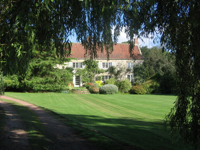
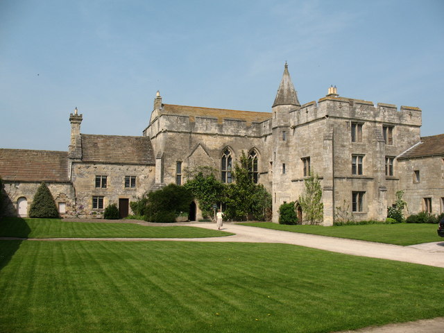
Long Lands Images
Images are sourced within 2km of 54.092342/-1.5607856 or Grid Reference SE2866. Thanks to Geograph Open Source API. All images are credited.


Long Lands is located at Grid Ref: SE2866 (Lat: 54.092342, Lng: -1.5607856)
Division: West Riding
Administrative County: North Yorkshire
District: Harrogate
Police Authority: North Yorkshire
What 3 Words
///plotter.repair.surprises. Near Ripon, North Yorkshire
Nearby Locations
Related Wikis
Ingerthorpe
Ingerthorpe is a hamlet and former civil parish about 7 miles (11 km) from Harrogate, now in the parish of Markington with Wallerthwaite, in the Harrogate...
Markenfield Hall
Markenfield Hall is an early 14th-century moated manor house about 3 miles (5 km) south of Ripon, North Yorkshire, England. It is in the civil parish of...

Markington
Markington is a village in the Harrogate district, in the English county of North Yorkshire. The population of the civil parish (including Markenfield...

Wormald Green
Wormald Green is a village in the civil parish of Markington with Wallerthwaite in the district of Harrogate, North Yorkshire, England. In 2016, Harrogate...

Wormald Green railway station
Wormald Green railway station served the village of Wormald Green, Harrogate, England from 1848 to 1964 on the Leeds-Northallerton Railway. == History... ==

Fountains Abbey
Fountains Abbey is one of the largest and best preserved ruined Cistercian monasteries in England. It is located approximately 3 miles (5 km) south-west...

Fountains Hall
Fountains Hall is a country house near Ripon in North Yorkshire, England, located within the World Heritage Site at Studley Royal Park which include the...

Studley Roger
Studley Roger is a small village and civil parish in the Harrogate district of North Yorkshire, England, and it is about 1 mile west of the historical...
Nearby Amenities
Located within 500m of 54.092342,-1.5607856Have you been to Long Lands?
Leave your review of Long Lands below (or comments, questions and feedback).