Spout House Hill
Hill, Mountain in Yorkshire
England
Spout House Hill
Spout House Hill is a prominent natural feature located in the county of Yorkshire, England. Situated in the northern part of the county, it is a well-known hill that forms part of the stunning landscape of the Yorkshire Dales National Park.
Rising to an elevation of approximately 491 meters (1,611 feet), Spout House Hill is often referred to as a mountain due to its impressive height and commanding presence. It is located near the village of Kettlewell, which lies within the Craven district of Yorkshire.
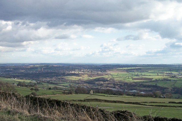
The hill is characterized by its steep slopes and rocky outcrops, which provide a challenging terrain for hikers and climbers. It offers breathtaking panoramic views of the surrounding countryside, including the picturesque Wharfedale valley and the rolling hills of the Yorkshire Dales.
Spout House Hill is a popular destination for outdoor enthusiasts, offering a range of activities such as hiking, mountain biking, and wildlife watching. The hill is home to various species of flora and fauna, including sheep, birds, and wildflowers, adding to its natural beauty.
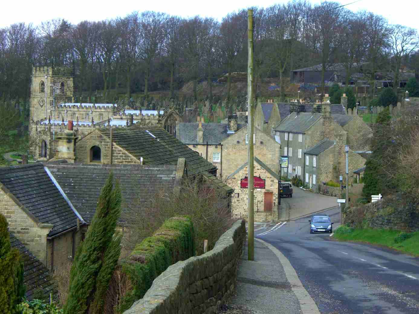
Visitors can explore the hill by following well-established footpaths that lead to its summit. The climb rewards adventurers with stunning vistas and a sense of accomplishment. Additionally, the area surrounding Spout House Hill is dotted with charming villages, ancient ruins, and historic sites, making it an ideal destination for those seeking a blend of natural beauty and cultural heritage.
Overall, Spout House Hill stands as a majestic landmark in Yorkshire, offering visitors a chance to immerse themselves in the stunning landscapes and rich history of the region.
If you have any feedback on the listing, please let us know in the comments section below.
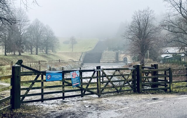
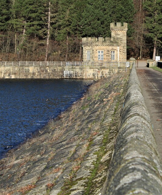
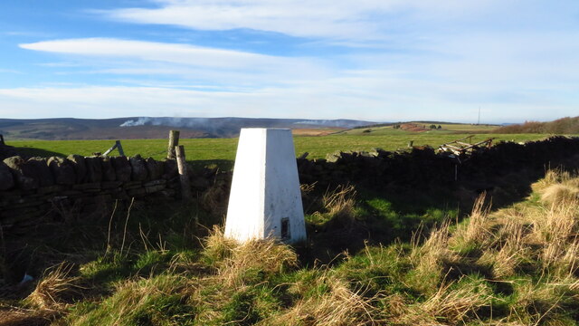
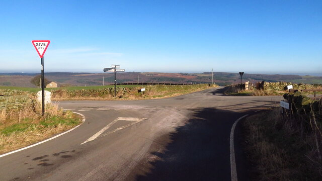
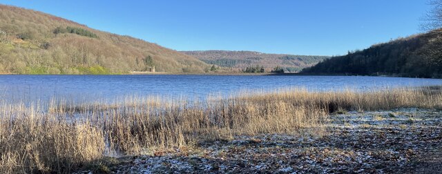
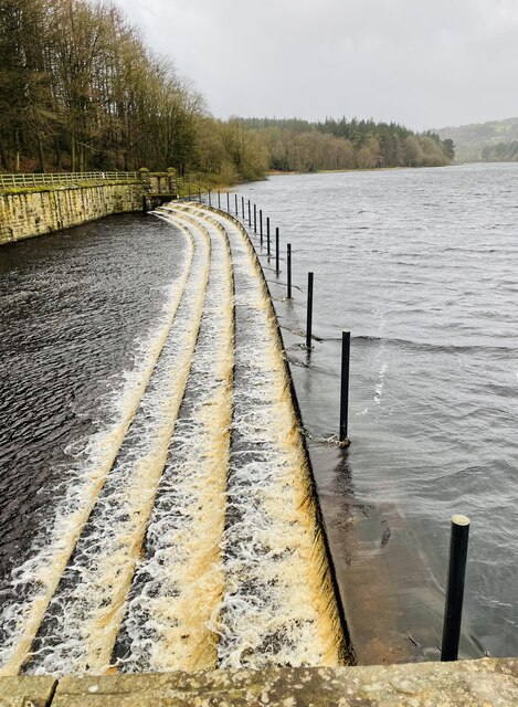
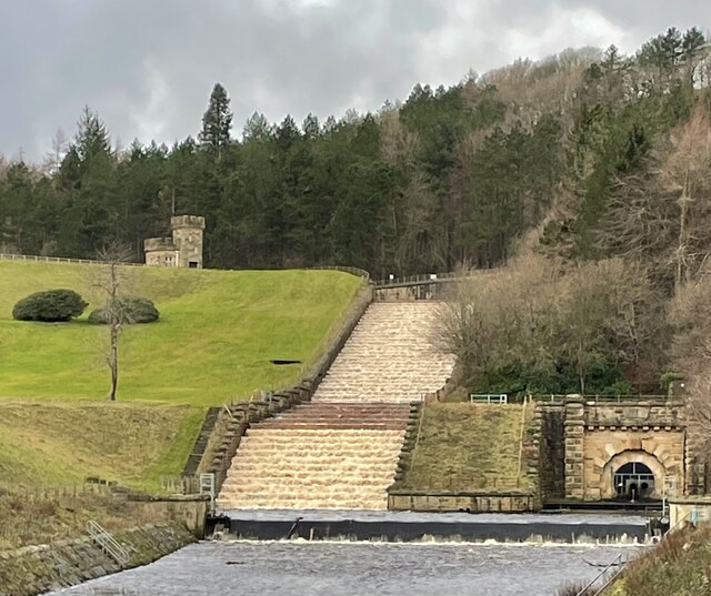
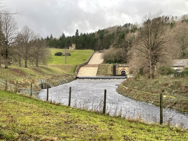
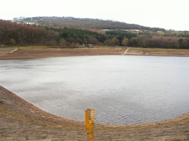
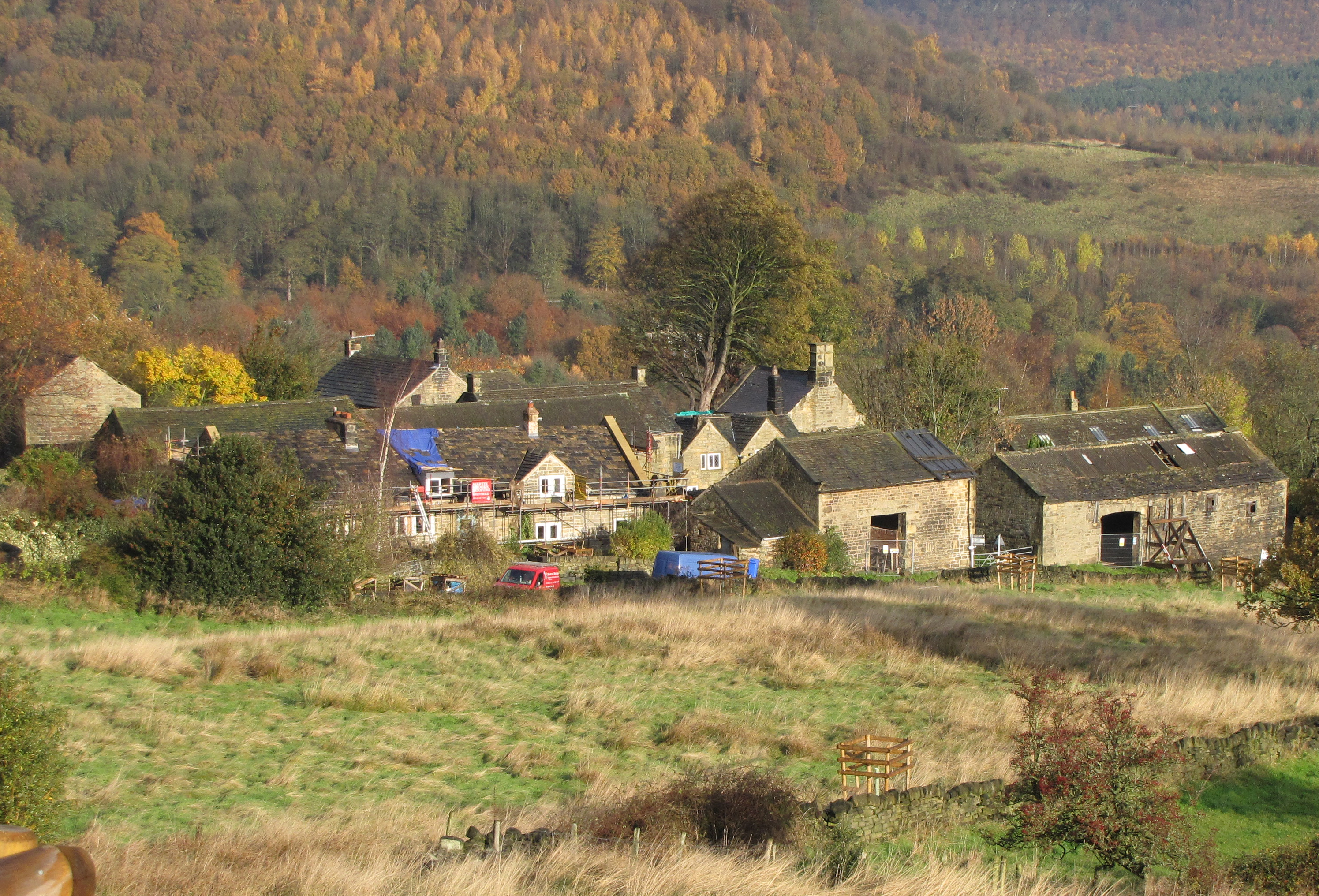
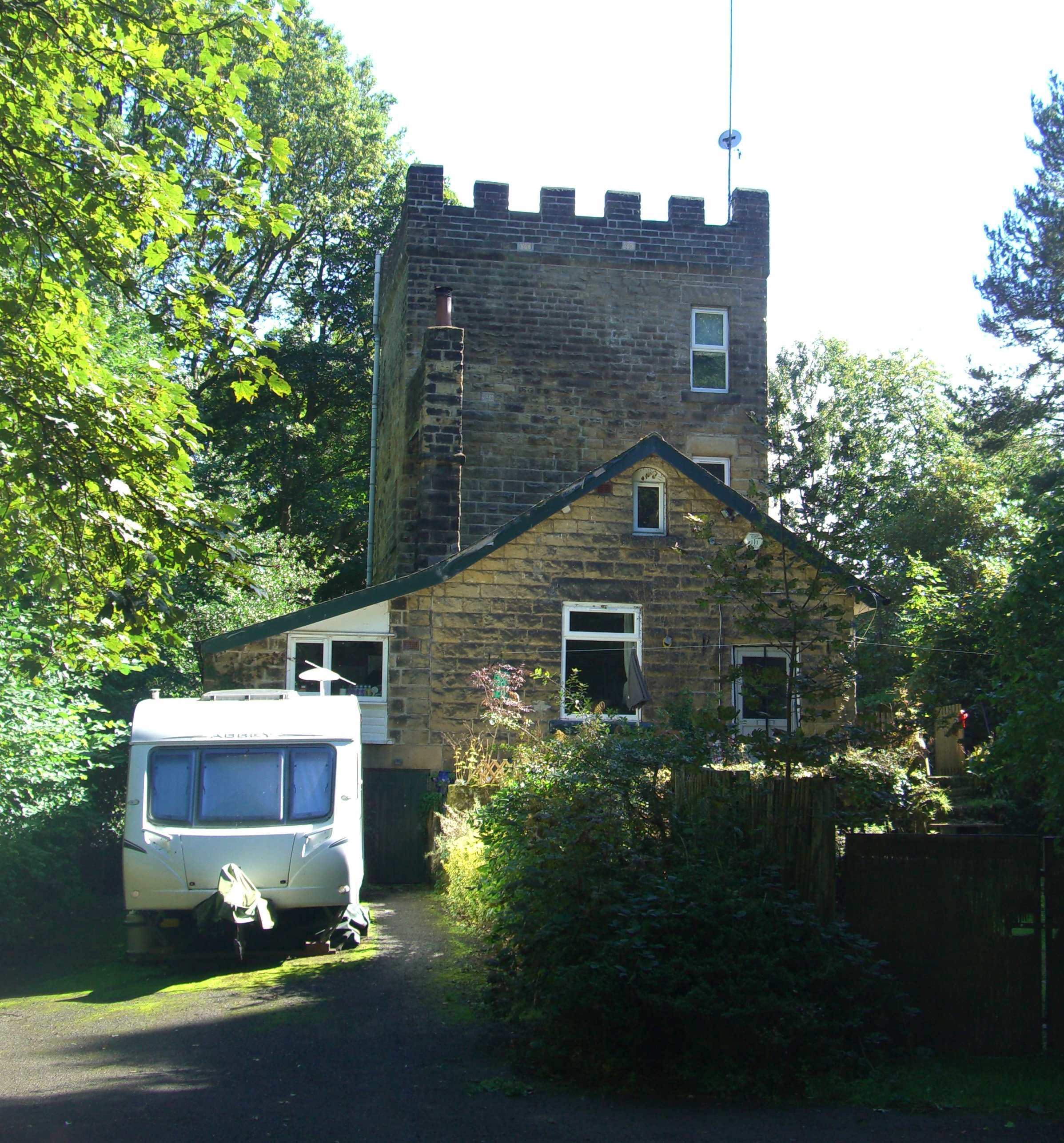
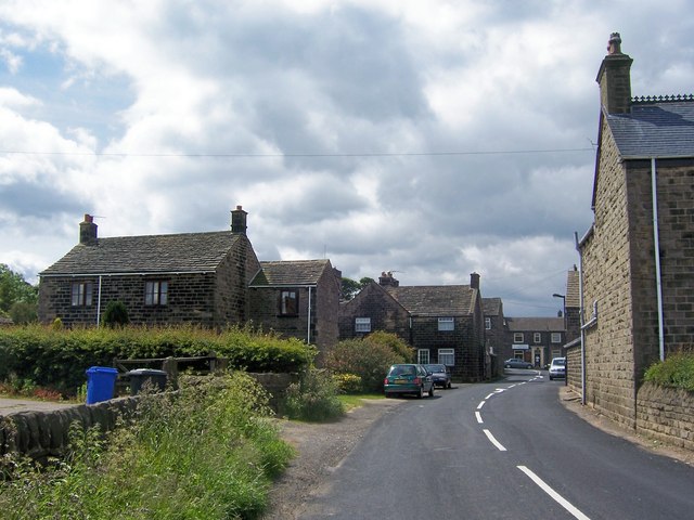
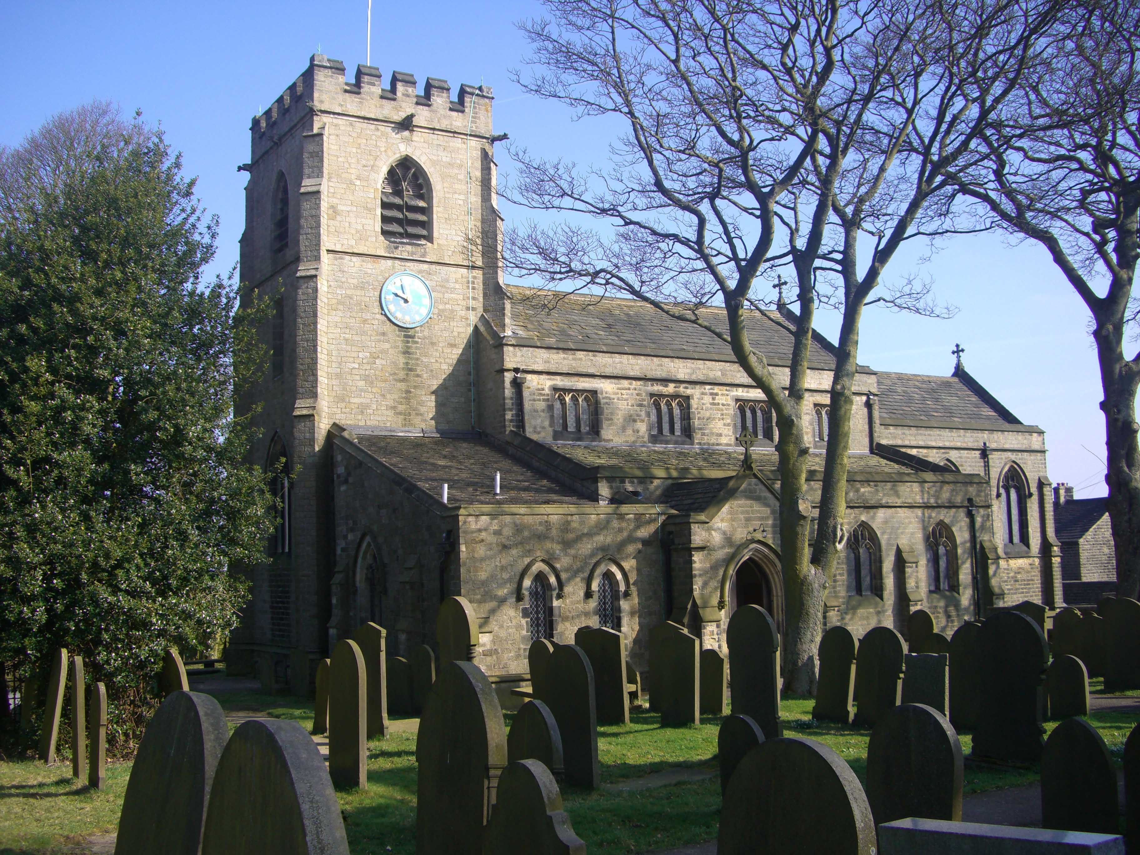
Spout House Hill Images
Images are sourced within 2km of 53.447974/-1.5873165 or Grid Reference SK2794. Thanks to Geograph Open Source API. All images are credited.


Spout House Hill is located at Grid Ref: SK2794 (Lat: 53.447974, Lng: -1.5873165)
Division: West Riding
Unitary Authority: Sheffield
Police Authority: South Yorkshire
What 3 Words
///yarn.healers.lined. Near Oughtibridge, South Yorkshire
Nearby Locations
Related Wikis


Nearby Amenities
Located within 500m of 53.447974,-1.5873165Have you been to Spout House Hill?
Leave your review of Spout House Hill below (or comments, questions and feedback).