Carr Hill
Hill, Mountain in Yorkshire Hambleton
England
Carr Hill

Carr Hill is a small hill located in the county of Yorkshire, England. Situated in the scenic countryside, it is part of the larger Yorkshire Dales National Park. With an elevation of approximately 300 meters, Carr Hill offers stunning panoramic views of the surrounding landscape.
Covered in lush green grass and dotted with patches of heather, Carr Hill is a haven for nature enthusiasts. The hill is home to a diverse range of flora and fauna, including various species of birds, butterflies, and wildflowers. The hillside is crisscrossed by walking trails, allowing visitors to explore its natural beauty and enjoy peaceful walks in the countryside.
In addition to its natural attractions, Carr Hill has a rich historical significance. The area is known for its ancient stone circle, believed to be from the Bronze Age, which adds an air of mystery and intrigue to the hill. The stone circle attracts archaeologists and history enthusiasts who are keen to unravel its secrets and learn more about the people who once inhabited the area.
Carr Hill is a popular destination for outdoor activities such as hiking, picnicking, and photography. Its accessibility and proximity to nearby towns make it an ideal spot for a day trip or a weekend getaway. Whether visitors are looking for a peaceful retreat or an adventure in nature, Carr Hill offers a unique and captivating experience in the heart of Yorkshire.
If you have any feedback on the listing, please let us know in the comments section below.
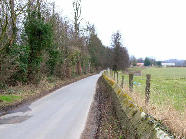
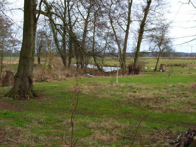
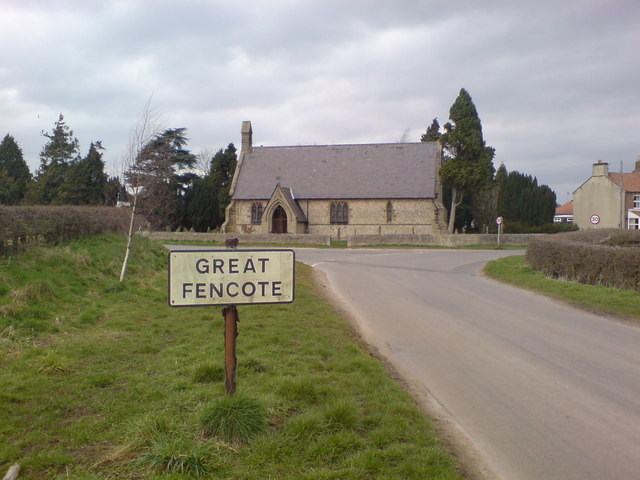
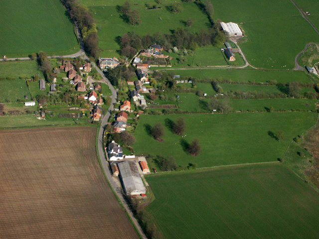
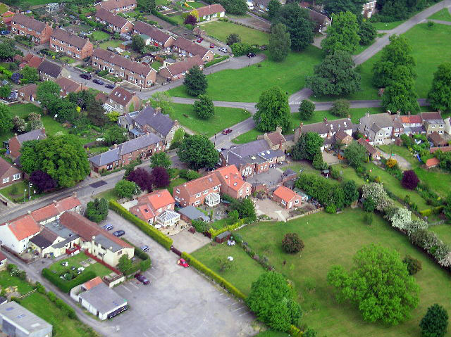
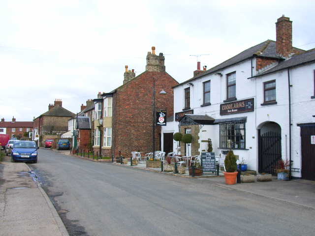
Carr Hill Images
Images are sourced within 2km of 54.327364/-1.5786603 or Grid Reference SE2792. Thanks to Geograph Open Source API. All images are credited.


Carr Hill is located at Grid Ref: SE2792 (Lat: 54.327364, Lng: -1.5786603)
Division: North Riding
Administrative County: North Yorkshire
District: Hambleton
Police Authority: North Yorkshire
What 3 Words
///saved.menswear.infringe. Near Bedale, North Yorkshire
Nearby Locations
Related Wikis
Little Fencote
Little Fencote is a small village in the Hambleton District of North Yorkshire, England. It is situated near Great Fencote and Kirkby Fleetham, about 1...

Fencote
Fencote or Great Fencote is a village in the Hambleton District of North Yorkshire, England. It is about 1 mi (1.6 km) east of the A1(M) motorway. It has...

Ainderby Miers with Holtby
Ainderby Miers with Holtby is a civil parish in the Hambleton district of North Yorkshire, England. The population taken at the 2011 Census was less than...
Kirkby Fleetham
Kirkby Fleetham is a village in the Hambleton District of North Yorkshire, England about 1 mile (1.6 km) east of the A1(M) road. Along with the two nearby...
Scruton
Scruton is a village and civil parish in the Hambleton district of North Yorkshire, England. It is 4 miles (6 km) west of Northallerton. According to the...

Langthorne
Langthorne is a village and civil parish in Hambleton district of North Yorkshire, England. Like many settlements in the area during the time of the Domesday...
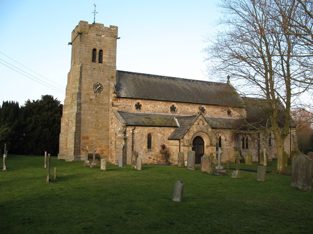
St Radegund's Church, Scruton
St Radegund's Church, Scruton is a Grade II* listed parish church in the Church of England: 335 in Scruton, North Yorkshire. == History == The church...
Aiskew Roman villa
Aiskew Roman villa is a Roman villa in Aiskew, North Yorkshire, England. It was identified by geophysical survey in July 2013 and partly excavated between...
Related Videos

The Coast To Coast Walk - England - May 2017 - Day 10 - The Smug Sisters.
"The Smug Sisters" - Julie & Heather Dixon, continue their walk from Richmond to Ingleby Cross, following Wainwright's Coast to ...

RIDING THE POLAR EXPRESS IN WENSLEYDALE, YORKSHIRE UK | THE POLAR EXPRESS EXPERIENCE VLOG 2023
RIDING THE POLAR EXPRESS IN WENSLEYDALE, YORKSHIRE UK | THE POLAR EXPRESS EXPERIENCE VLOG 2023* ...

Wensleydale Railway, North Yorkshire, UK
Wensleydale Railway is an heritage railway running 22 miles from Northallerton to Redmire in North Yorkshire UK.

A train from Leeming Bar to Leyburn on the Wensleydale Railway (Class 143).
A journey from Leeming Bar to Leyburn on the Class 143 train. We walked around the station at Leeming Bar and saw a variety of ...
Nearby Amenities
Located within 500m of 54.327364,-1.5786603Have you been to Carr Hill?
Leave your review of Carr Hill below (or comments, questions and feedback).