Gaadri Knowe
Hill, Mountain in Shetland
Scotland
Gaadri Knowe
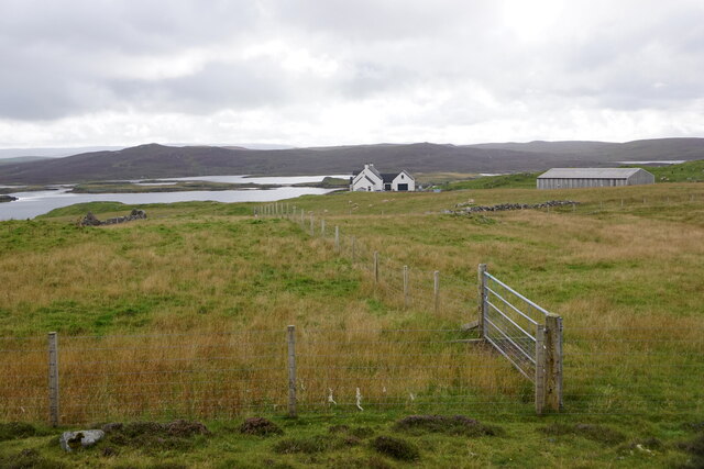
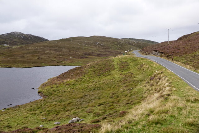
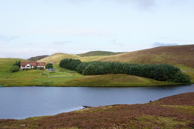
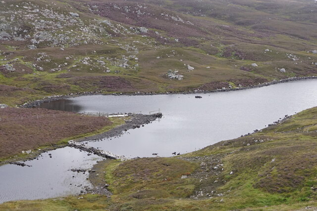
Gaadri Knowe is a prominent hill located in the Shetland Islands, an archipelago in the Northern Isles of Scotland. Situated in the southern part of the Mainland, the largest island in the group, Gaadri Knowe stands at an elevation of approximately 170 meters (557 feet) above sea level.
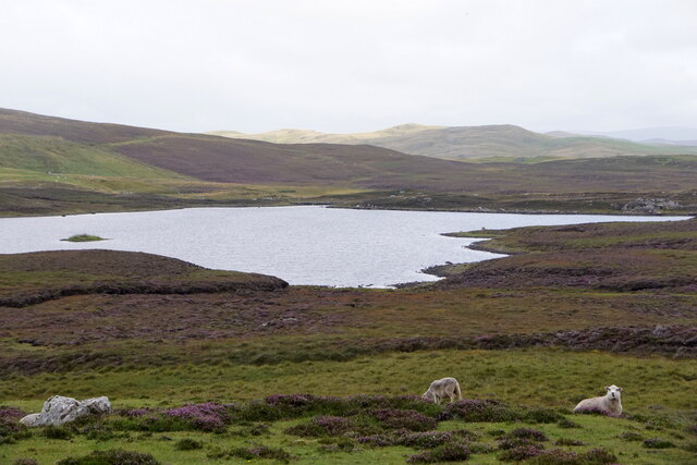
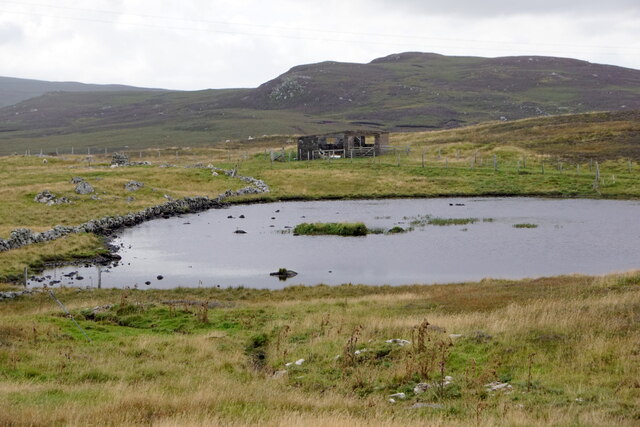
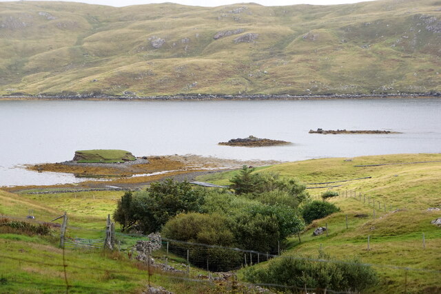
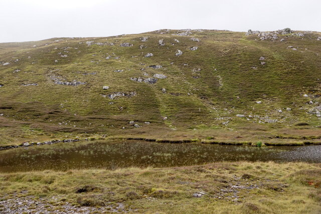
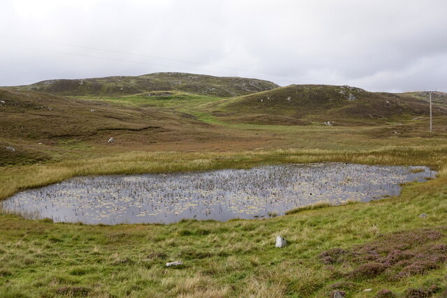
The hill is characterized by its distinctive shape, with a rounded summit that provides panoramic views of the surrounding landscape. Its slopes are covered in a mixture of heather, grasses, and scattered boulders, adding to its rugged and wild appearance.
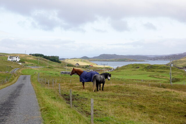
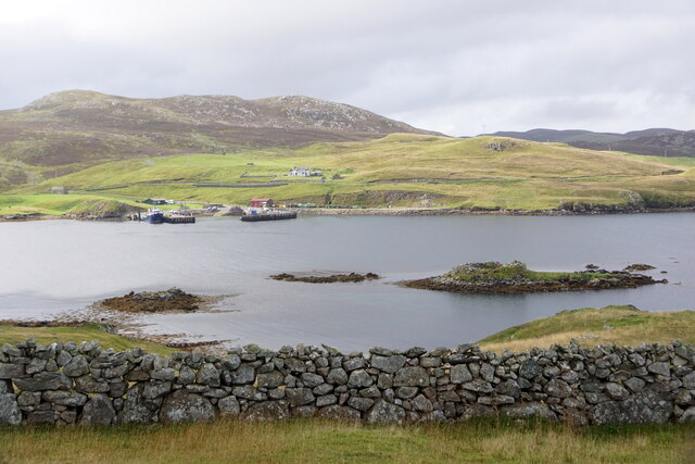
Gaadri Knowe is a popular destination for hikers and nature enthusiasts, offering a relatively moderate climb and rewarding vistas. On a clear day, visitors can enjoy breathtaking views of the surrounding countryside, including the rolling hills, coastal cliffs, and the nearby sea.
The area around Gaadri Knowe is rich in wildlife, with various bird species, including puffins and fulmars, inhabiting the nearby cliffs. The hill itself is also home to a diverse range of plants and flowers, with heather, bog cotton, and wild orchids being some of the notable species found in the region.
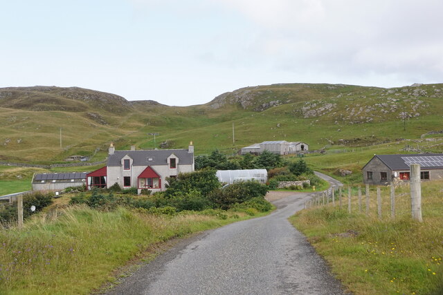
The hill is easily accessible by foot, with a well-defined path leading to the summit. However, it is important for visitors to come prepared with appropriate clothing and footwear, as the weather in Shetland can be unpredictable, and the terrain can become muddy and slippery.
Overall, Gaadri Knowe offers a memorable outdoor experience, combining stunning natural beauty, diverse wildlife, and a sense of tranquility that is characteristic of the Shetland Islands.
If you have any feedback on the listing, please let us know in the comments section below.
Gaadri Knowe Images
Images are sourced within 2km of 60.293019/-1.5121697 or Grid Reference HU2756. Thanks to Geograph Open Source API. All images are credited.

Gaadri Knowe is located at Grid Ref: HU2756 (Lat: 60.293019, Lng: -1.5121697)
Unitary Authority: Shetland Islands
Police Authority: Highlands and Islands
What 3 Words
///awakening.counters.between. Near Aith, Shetland Islands
Nearby Locations
Related Wikis

Brindister, West Mainland
Brindister is a settlement on the West Mainland of Shetland, Scotland. It is within the parish of Sandsting, and on the western shore of Brindister Voe...

Broch of West Burrafirth
The Broch of West Burrafirth is an Iron Age broch located on the west side of Mainland, Shetland (grid reference HU25625720). == Location == The broch...

Clousta
Clousta is a hamlet on Mainaland, in the island's west, Shetland, Scotland. Approximately seventy people live here, many of whom are commuters, but local...

West Mainland
The West Mainland of the Shetland Islands is the part of the Shetland Mainland lying west of Aith (1° 23′ W). == Geography == Points of interest include...

Vementry
Vementry (Old Norse: "Vemunðarey") is an uninhabited Scottish island in Shetland on the north side of the West Mainland, lying south of Muckle Roe. �...

Bousta
Bousta is a settlement on Mainland, in Shetland, Scotland. Bousta is situated in the parish of Walls and Sandness.Scott's Hawkweed is native to the pastures...

Linga (near Vementry)
Linga is one of the Shetland Islands, near Vementry. It is one of many islands in Shetland called Linga. The island is uninhabited. == Geography and... ==

Scord of Brouster
The Scord of Brouster is one of the earliest Neolithic farm sites in Shetland, Scotland. It has been dated to 2220 BC with a time window of 80 years on...
Nearby Amenities
Located within 500m of 60.293019,-1.5121697Have you been to Gaadri Knowe?
Leave your review of Gaadri Knowe below (or comments, questions and feedback).