Nickie's Water
Lake, Pool, Pond, Freshwater Marsh in Shetland
Scotland
Nickie's Water
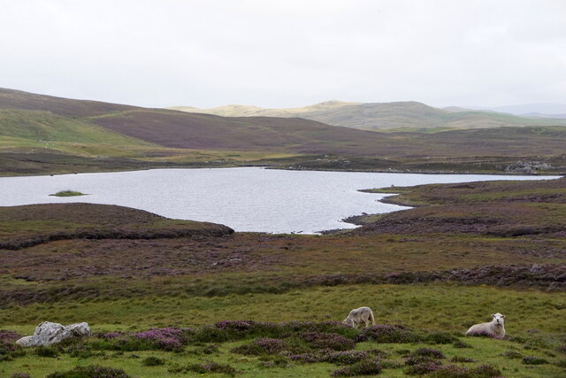
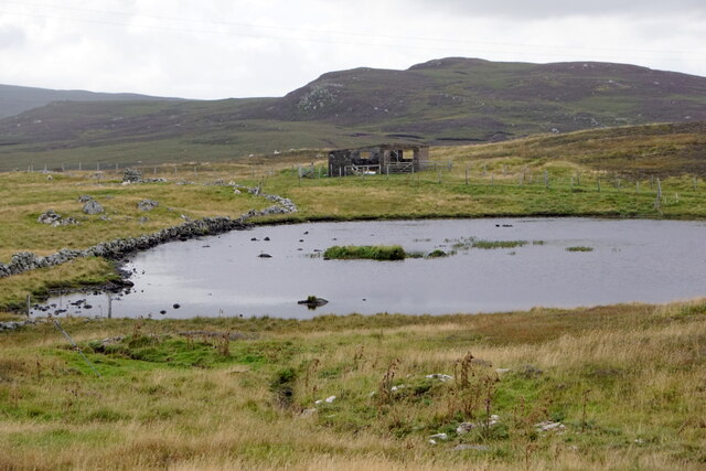
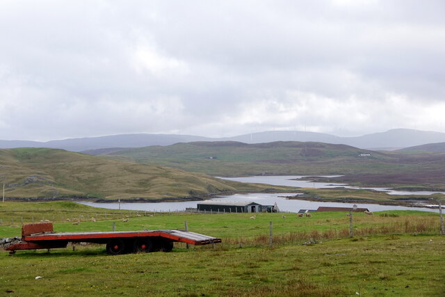
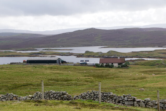
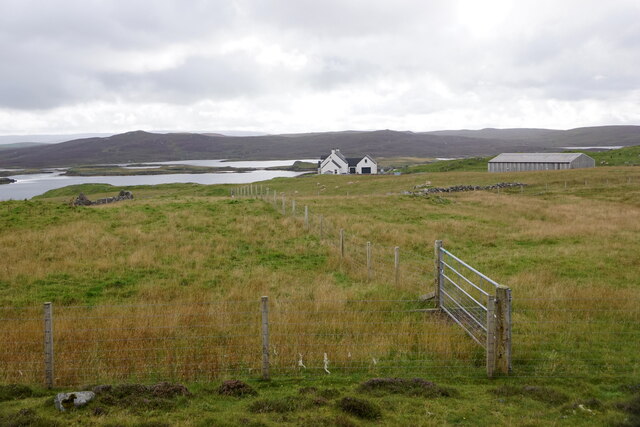
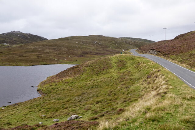
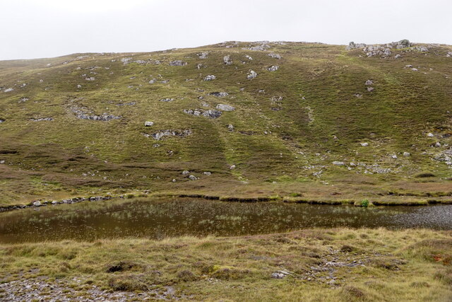
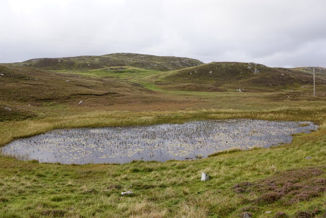
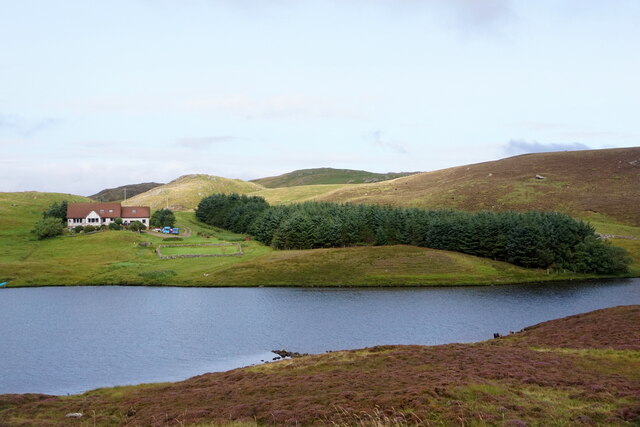
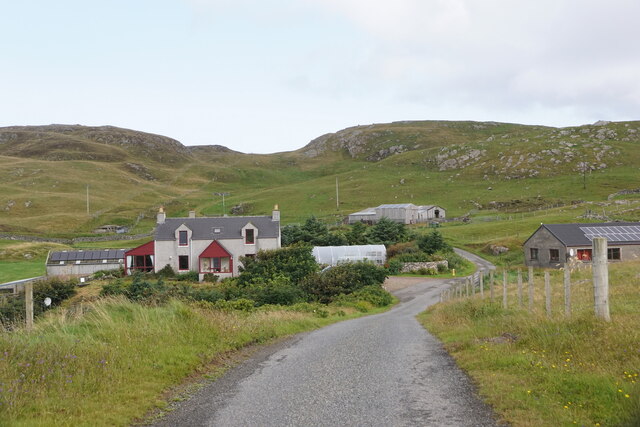
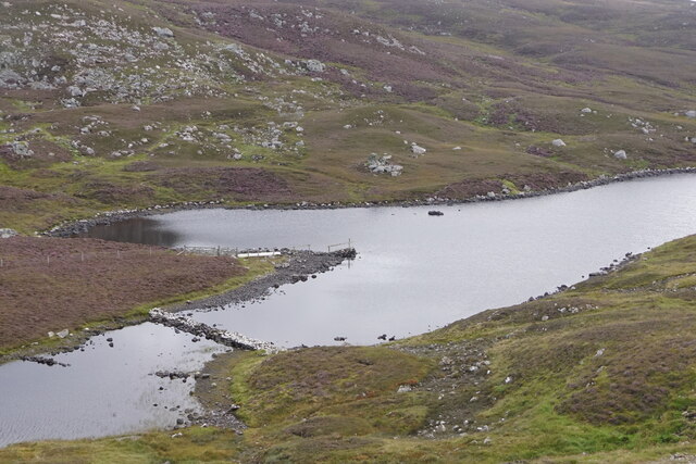
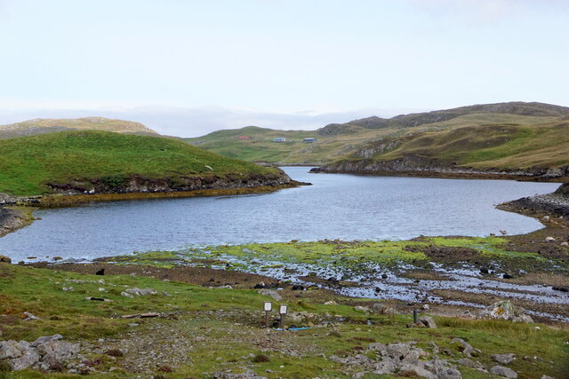
Nickie's Water is a picturesque freshwater marsh located in the Shetland Islands, Scotland. It is a small yet significant body of water, covering an area of approximately 2 hectares. The water body is named after its creator, Nickie, who designed and developed it as a haven for local wildlife and a place of tranquility for visitors.
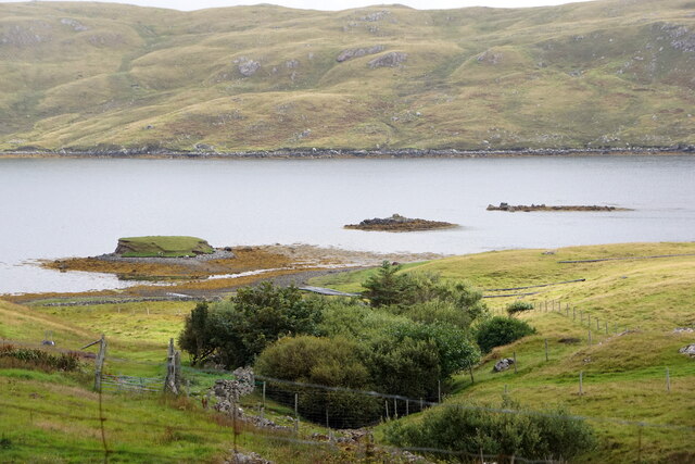
The water body is primarily a marshland, characterized by shallow water and an abundance of plant life. It serves as a natural habitat for a diverse range of flora and fauna, including various species of waterfowl, amphibians, and aquatic plants. The marsh is surrounded by lush vegetation, comprising reeds, rushes, and sedges, which provide shelter and nesting grounds for the local bird population.
Nickie's Water is also home to a variety of fish species, such as sticklebacks and minnows, which thrive in the freshwater environment. The water is relatively calm and still, making it an ideal breeding ground for these aquatic organisms.
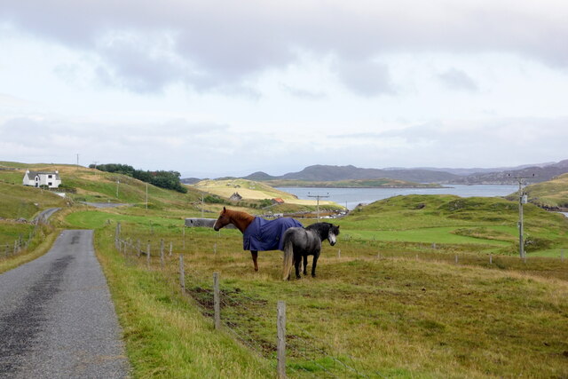
Visitors to Nickie's Water can enjoy the serenity and natural beauty of the marshland. It offers opportunities for birdwatching, as well as peaceful walks along the water's edge. The tranquil atmosphere and the harmonious coexistence of wildlife and vegetation make it a popular spot for nature enthusiasts and photographers.
Overall, Nickie's Water is a small yet remarkable freshwater marsh, providing a sanctuary for diverse flora and fauna in the heart of the Shetland Islands. Its natural beauty and ecological importance make it a cherished location for both wildlife and visitors alike.
If you have any feedback on the listing, please let us know in the comments section below.
Nickie's Water Images
Images are sourced within 2km of 60.288082/-1.510073 or Grid Reference HU2756. Thanks to Geograph Open Source API. All images are credited.

Nickie's Water is located at Grid Ref: HU2756 (Lat: 60.288082, Lng: -1.510073)
Unitary Authority: Shetland Islands
Police Authority: Highlands and Islands
What 3 Words
///restores.bonkers.ship. Near Walls, Shetland Islands
Nearby Locations
Related Wikis

Brindister, West Mainland
Brindister is a settlement on the West Mainland of Shetland, Scotland. It is within the parish of Sandsting, and on the western shore of Brindister Voe...

Broch of West Burrafirth
The Broch of West Burrafirth is an Iron Age broch located on the west side of Mainland, Shetland (grid reference HU25625720). == Location == The broch...

Clousta
Clousta is a hamlet on Mainaland, in the island's west, Shetland, Scotland. Approximately seventy people live here, many of whom are commuters, but local...

West Mainland
The West Mainland of the Shetland Islands is the part of the Shetland Mainland lying west of Aith (1° 23′ W). == Geography == Points of interest include...

Scord of Brouster
The Scord of Brouster is one of the earliest Neolithic farm sites in Shetland, Scotland. It has been dated to 2220 BC with a time window of 80 years on...

Bousta
Bousta is a settlement on Mainland, in Shetland, Scotland. Bousta is situated in the parish of Walls and Sandness.Scott's Hawkweed is native to the pastures...

Vementry
Vementry (Old Norse: "Vemunðarey") is an uninhabited Scottish island in Shetland on the north side of the West Mainland, lying south of Muckle Roe. �...

Stanydale
Stanydale is a hamlet on the island of Mainland, Shetland, Scotland. The archaeological site of Stanydale Temple is less than 0.5 miles (0.80 km) to...
Have you been to Nickie's Water?
Leave your review of Nickie's Water below (or comments, questions and feedback).