Chastleton Hill
Hill, Mountain in Oxfordshire West Oxfordshire
England
Chastleton Hill
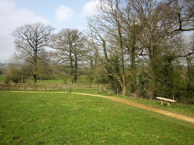
Chastleton Hill is a prominent hill located in the beautiful county of Oxfordshire, England. Situated near the village of Chastleton, the hill is part of the wider Cotswolds Area of Outstanding Natural Beauty. Rising to an elevation of approximately 240 meters (790 feet), Chastleton Hill offers breathtaking panoramic views of the surrounding countryside.
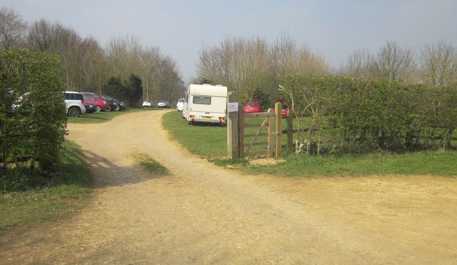
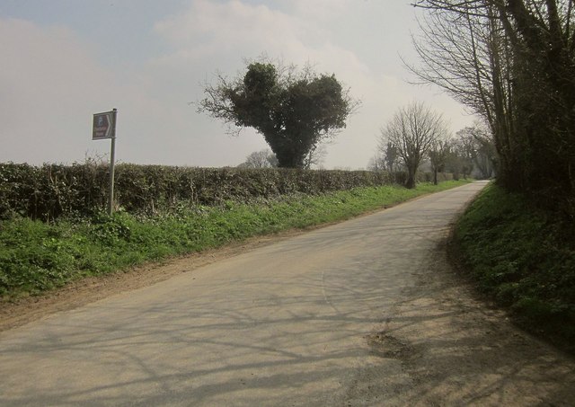
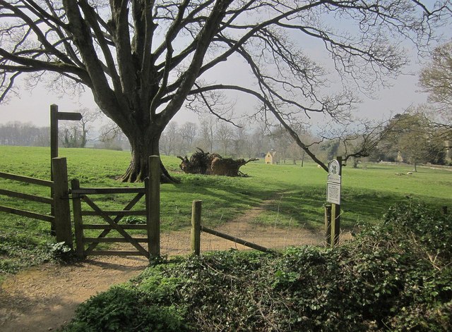
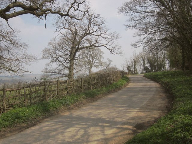
Covered in lush greenery and dotted with charming rural settlements, the hill is a popular destination for nature enthusiasts and hikers seeking a tranquil and picturesque setting. Its gentle slopes and well-maintained footpaths make it accessible to visitors of all ages and fitness levels.
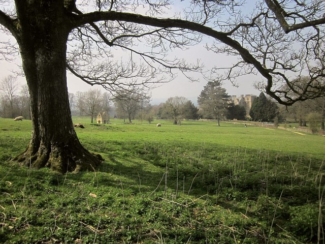
At the top of Chastleton Hill, there is a trig point, a concrete pillar used in mapping and surveying, which serves as a landmark for visitors. The trig point provides an excellent vantage point to admire the stunning vistas that stretch out across the rolling hills of Oxfordshire. On a clear day, it is possible to see as far as the famous Blenheim Palace, located approximately 20 kilometers (12 miles) to the east.
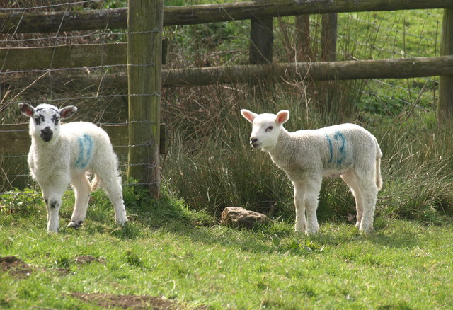
Chastleton Hill is also home to a diverse range of flora and fauna, including various species of wildflowers, birds, and small mammals. The hill's natural habitats have been well-preserved, contributing to its ecological significance within the region.
Overall, Chastleton Hill offers a peaceful and idyllic escape from the hustle and bustle of everyday life, allowing visitors to immerse themselves in the beauty of the Oxfordshire countryside. Whether it is for a leisurely stroll, a challenging hike, or simply to enjoy the breathtaking views, Chastleton Hill is a must-visit destination for nature enthusiasts and those seeking a serene retreat.
If you have any feedback on the listing, please let us know in the comments section below.
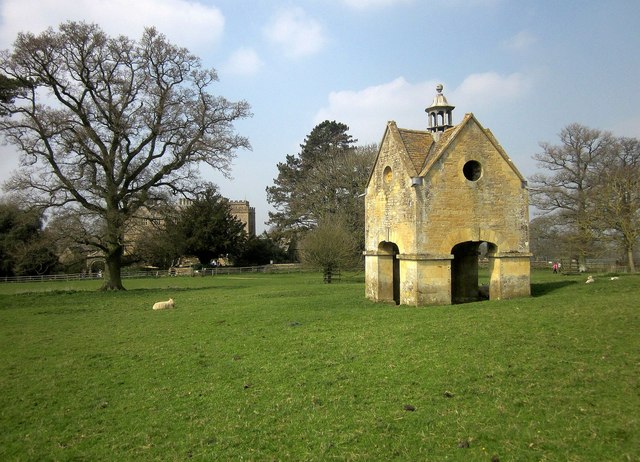
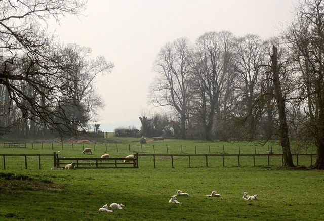
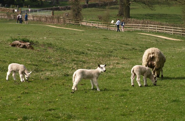
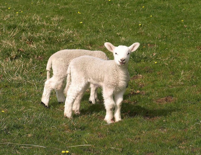
Chastleton Hill Images
Images are sourced within 2km of 51.952236/-1.6257402 or Grid Reference SP2528. Thanks to Geograph Open Source API. All images are credited.

Chastleton Hill is located at Grid Ref: SP2528 (Lat: 51.952236, Lng: -1.6257402)
Administrative County: Oxfordshire
District: West Oxfordshire
Police Authority: Thames Valley
What 3 Words
///quicksand.zoos.lookout. Near Chipping Norton, Oxfordshire
Nearby Locations
Related Wikis
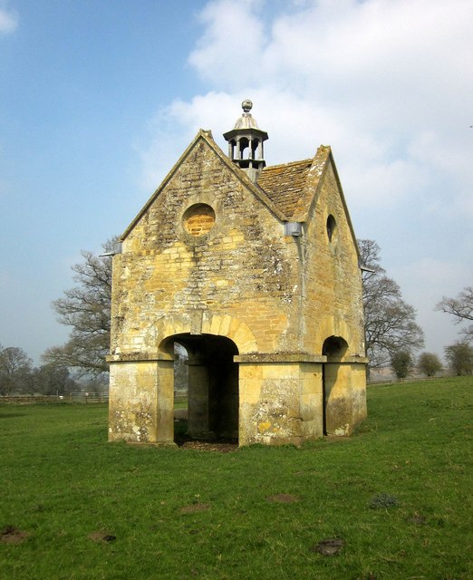
Chastleton
Chastleton is a village and civil parish in the Cotswold Hills in Oxfordshire, England, about 4 miles (6.4 km) northeast of Stow-on-the-Wold. Chastleton...
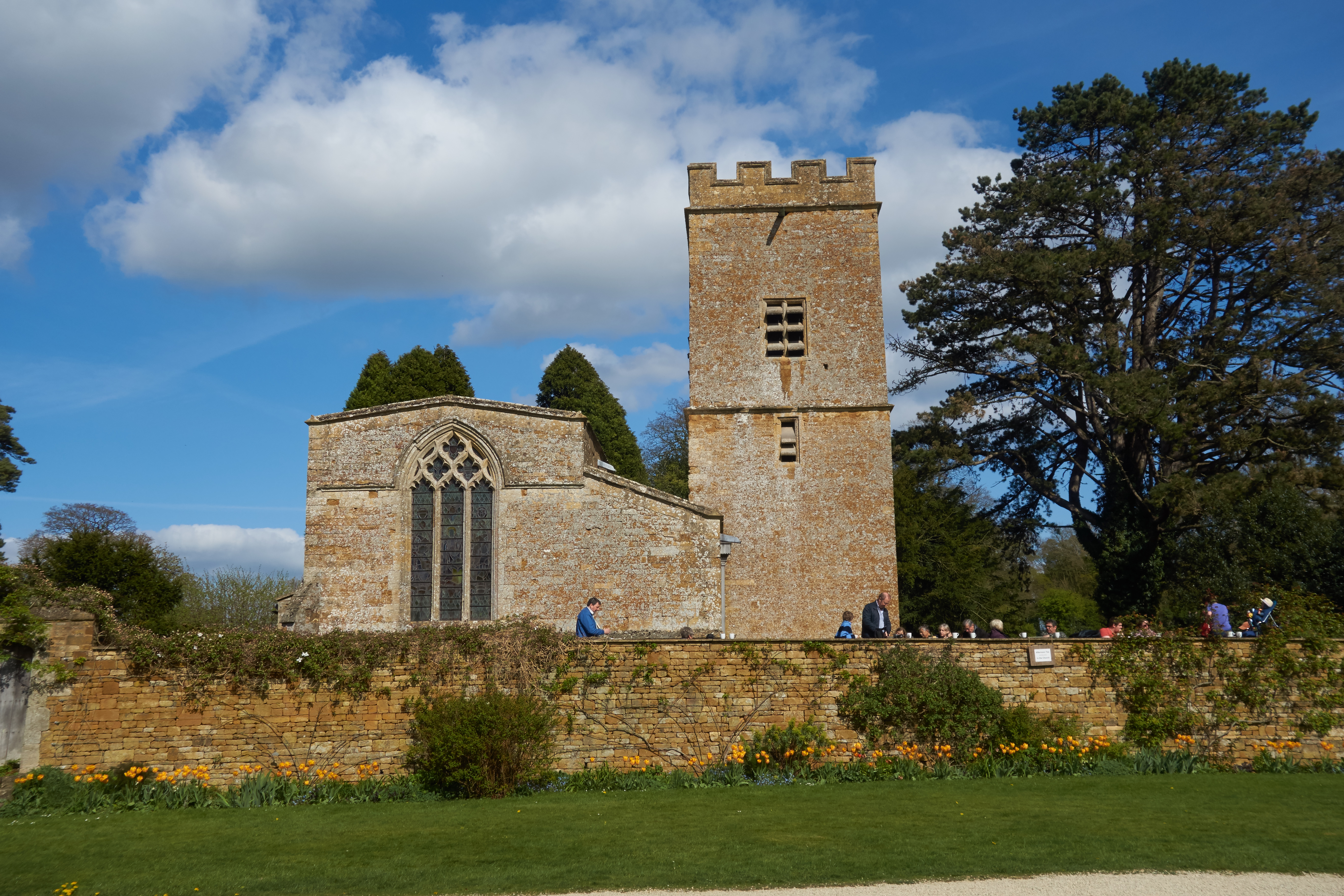
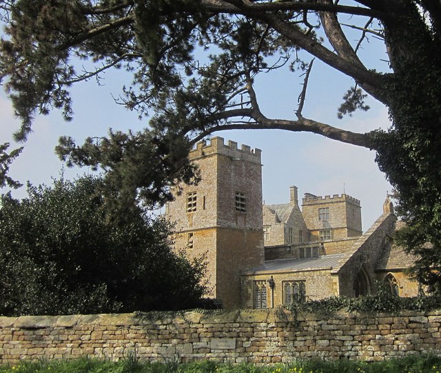
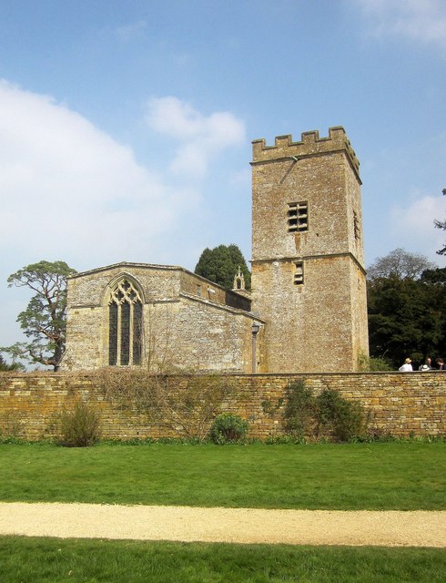
St Mary's Church, Chastleton
The Church of St Mary the Virgin is the Church of England parish church of Chastleton, Oxfordshire, England. It is a parish church in the parish of Little...

Cornwell, Oxfordshire
Cornwell is a small village and civil parish about 2.5 miles (4 km) west of Chipping Norton in the West Oxfordshire district of Oxfordshire, near the county...

Daylesford House
Daylesford House is a Georgian country house near Daylesford, Gloucestershire, England, on the north bank of the River Evenlode near the border with Oxfordshire...

Adlestrop
Adlestrop () is a village and civil parish in the Cotswolds, 3 miles (5 km) east of Stow-on-the-Wold, Gloucestershire, England, on the county boundary...

Little Compton, Warwickshire
Little Compton is a village and civil parish in the Stratford-on-Avon district, in south Warwickshire, England, and is located about three miles east of...
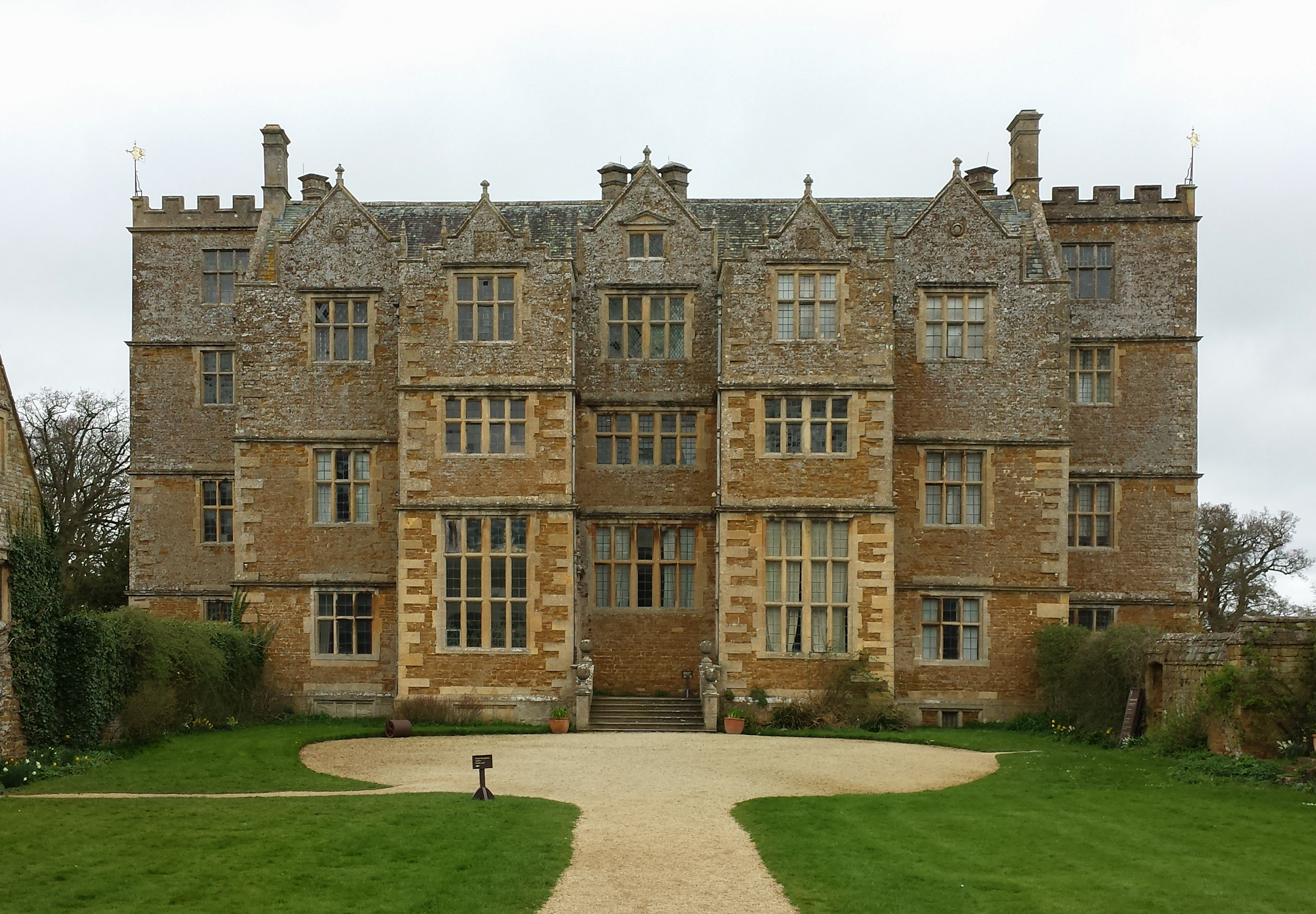
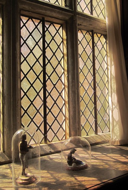
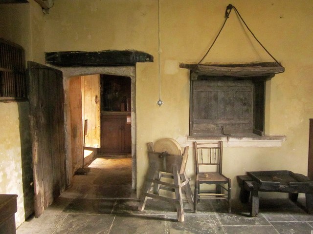
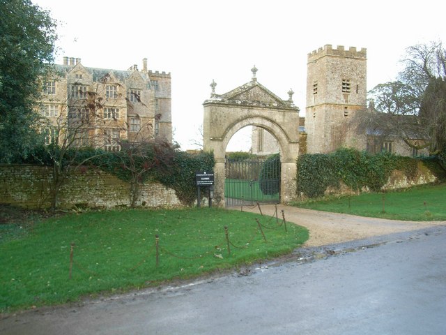
Chastleton House
Chastleton House () is a Jacobean country house at Chastleton, Oxfordshire, England, close to Moreton-in-Marsh (grid reference SP2429). It has been owned...

Kingham Hill School
Kingham Hill School is a Christian co-educational private day and boarding school for children aged 11–19, located near the village of Kingham in Oxfordshire...
Nearby Amenities
Located within 500m of 51.952236,-1.6257402Have you been to Chastleton Hill?
Leave your review of Chastleton Hill below (or comments, questions and feedback).