Adlestrop Hill

Hill, Mountain in Oxfordshire West Oxfordshire

England

Adlestrop Hill

Car park for Chastleton House At first sight, you might mistake it for a caravan site; but the caravan has sensibly taken note of the sign at the entrance which warns of slippery conditions, and parked as near the exit as possible.
Car park for Chastleton House Credit: Derek Harper

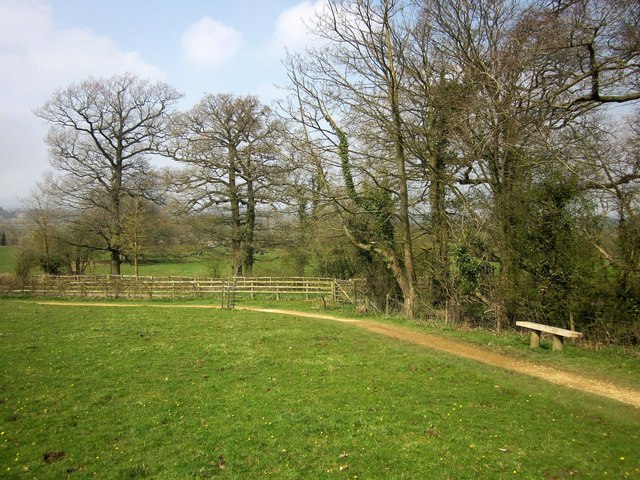
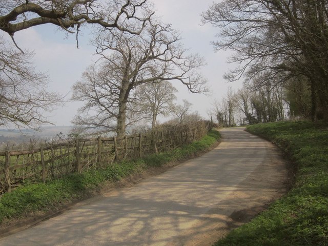
Adlestrop Hill, located in Oxfordshire, England, is a picturesque hill that offers stunning views of the surrounding countryside. Situated in the Cotswolds, this hill stands at an elevation of approximately 200 meters above sea level and is a popular destination for hikers, nature enthusiasts, and photographers.

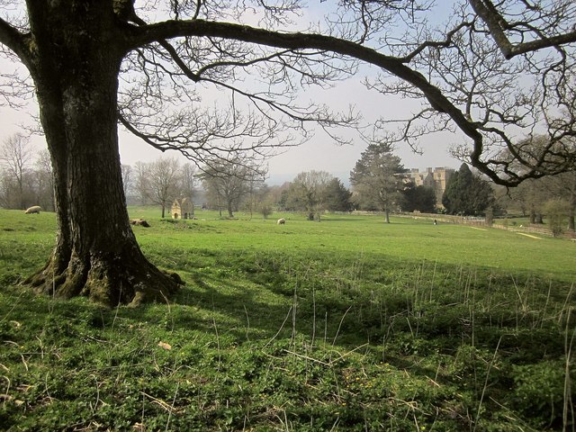
The hill is characterized by its gently rolling slopes and lush green meadows, which are dotted with vibrant wildflowers during the spring and summer months. The landscape is also adorned with scattered trees, providing shade and adding to the overall beauty of the area.

At the summit of Adlestrop Hill, visitors are rewarded with panoramic vistas that stretch for miles. On a clear day, one can see the Cotswold Hills, the Oxfordshire countryside, and even glimpses of neighboring counties. This makes the hill a perfect spot for capturing breathtaking photographs or simply enjoying the tranquility of the surroundings.

Adlestrop Hill is also known for its historic significance. It is believed to have been a site of human habitation since ancient times, with evidence of Iron Age settlements discovered in the vicinity. The hill's name is derived from the nearby village of Adlestrop, which is renowned for its quaint charm and traditional Cotswold architecture.

Whether one is seeking a peaceful walk in nature, a challenging hike, or an opportunity to appreciate the beauty of the English countryside, Adlestrop Hill in Oxfordshire is a captivating destination that offers something for everyone.

If you have any feedback on the listing, please let us know in the comments section below.

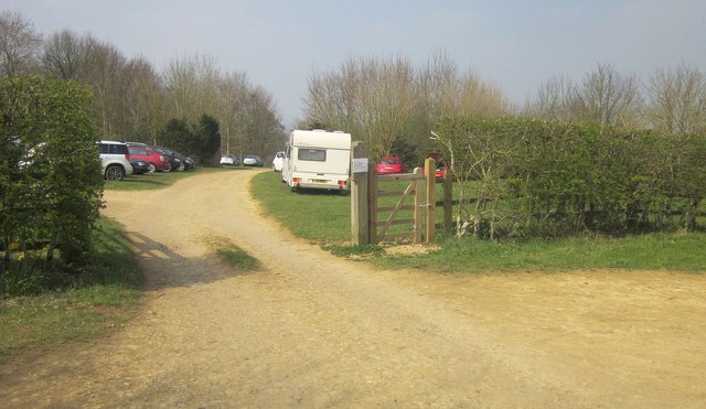
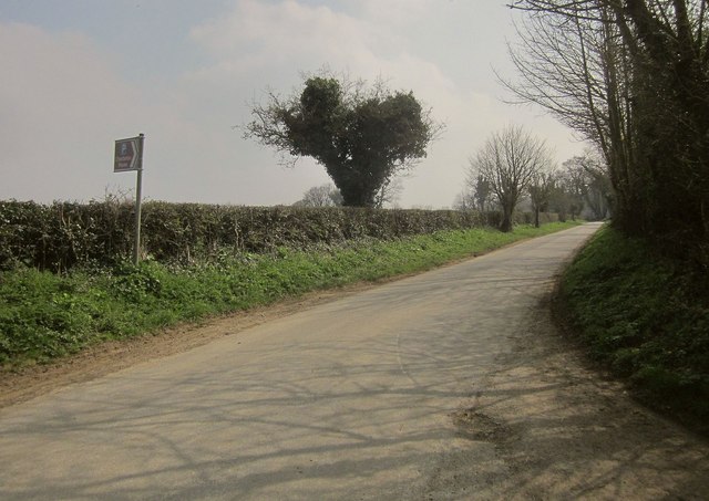
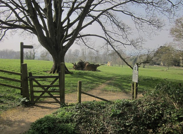
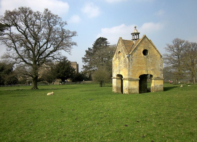
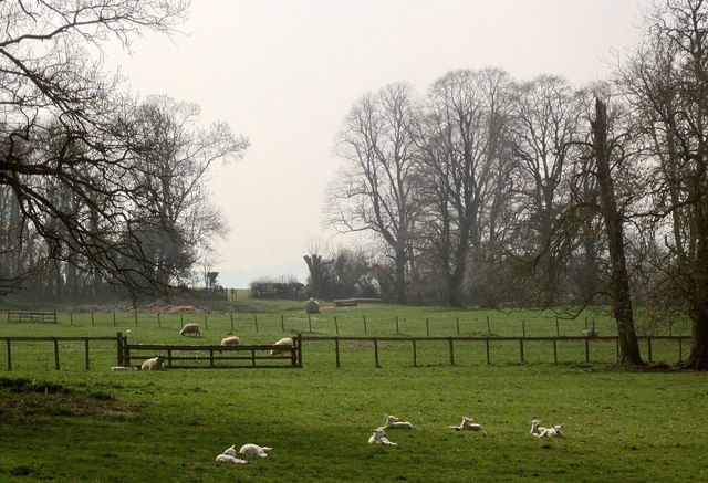
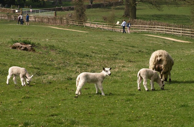
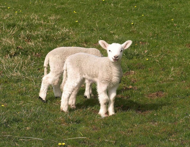
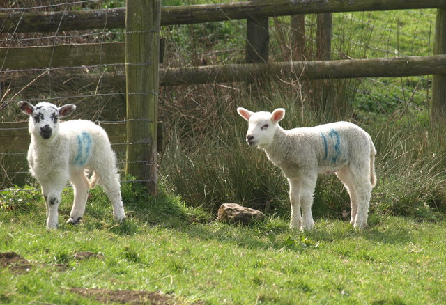
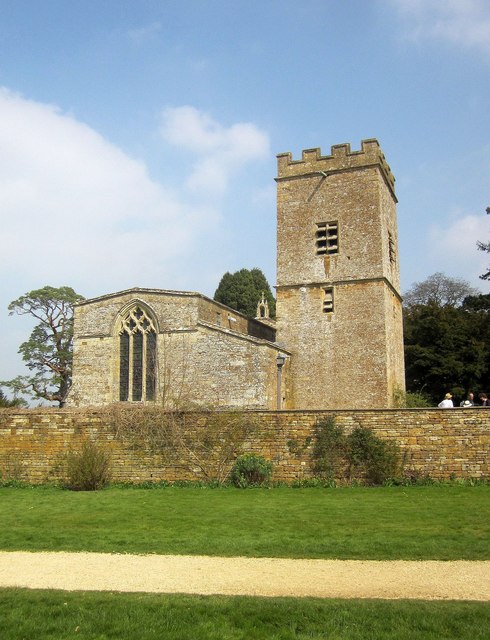
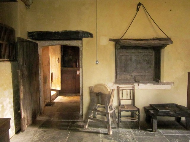
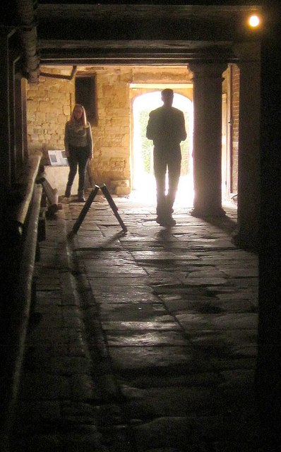
Adlestrop Hill Images

Images are sourced within 2km of 51.952256/-1.6263221 or Grid Reference SP2528. Thanks to Geograph Open Source API. All images are credited.

Car park for Chastleton House At first sight, you might mistake it for a caravan site; but the caravan has sensibly taken note of the sign at the entrance which warns of slippery conditions, and parked as near the exit as possible.
Car park for Chastleton House
At first sight, you might mistake it for a caravan site; but the caravan has sensibly taken note of the sign at the entrance which warns of slippery conditions, and parked as near the exit as possible.
Macmillan Way near Chastleton Following the road past the car park for Chastleton House (sign on left).
Macmillan Way near Chastleton
Following the road past the car park for Chastleton House (sign on left).
Path to Chastleton House From the car park, and also shown at the same spot in high summer in <a href="https://www.geograph.org.uk/photo/4422863">SP2528 : Chastleton House (1)</a>. The dovecote (see <a title="https://www.geograph.org.uk/search.php?i=58139104" href="https://www.geograph.org.uk/search.php?i=58139104">Link</a> ) can be seen in  the centre, about 150 metres away.
Path to Chastleton House
From the car park, and also shown at the same spot in high summer in SP2528 : Chastleton House (1). The dovecote (see Link ) can be seen in the centre, about 150 metres away.
Parkland, Chastleton House Taken a short distance along the path shown in <a href="https://www.geograph.org.uk/photo/4671880">SP2528 : Path to Chastleton House</a>, with the dovecote on the left, and the house itself now visible down the sloping pasture.
Parkland, Chastleton House
Taken a short distance along the path shown in SP2528 : Path to Chastleton House, with the dovecote on the left, and the house itself now visible down the sloping pasture.
Path to Chastleton House Keeping to the edge of the pasture shown in <a href="https://www.geograph.org.uk/photo/4671885">SP2529 : Parkland, Chastleton House</a>, and, on the left, running beside the lane that carries the Macmillan Way and that runs between fences.
Path to Chastleton House
Keeping to the edge of the pasture shown in SP2529 : Parkland, Chastleton House, and, on the left, running beside the lane that carries the Macmillan Way and that runs between fences.
Lane, Chastleton Climbing towards Chastleton Hill, and followed by the Macmillan Way.
Lane, Chastleton
Climbing towards Chastleton Hill, and followed by the Macmillan Way.
Chastleton: church and house Glimpsed beneath a pine tree. Both are listed grade II*; <span class="nowrap"><a title="http://list.historicengland.org.uk/resultsingle.aspx?uid=1183347&searchtype=mapsearch" rel="nofollow ugc noopener" href="http://list.historicengland.org.uk/resultsingle.aspx?uid=1183347&searchtype=mapsearch">Link</a><img style="margin-left:2px;" alt="External link" title="External link - shift click to open in new window" src="https://s1.geograph.org.uk/img/external.png" width="10" height="10"/></span> and <span class="nowrap"><a title="http://list.historicengland.org.uk/resultsingle.aspx?uid=1001090&searchtype=mapsearch" rel="nofollow ugc noopener" href="http://list.historicengland.org.uk/resultsingle.aspx?uid=1001090&searchtype=mapsearch">Link</a><img style="margin-left:2px;" alt="External link" title="External link - shift click to open in new window" src="https://s1.geograph.org.uk/img/external.png" width="10" height="10"/></span> respectively.
Chastleton: church and house
Glimpsed beneath a pine tree. Both are listed grade II*; LinkExternal link and LinkExternal link respectively.
Dovecote, Chastleton It's a tempting subject; hence, there are already a lot of images of this building which dates from 1762 and bears the inscription "THOMAS/FOTHERGILL/Esq./JUNE EY 2/1762" <span class="nowrap"><a title="http://list.historicengland.org.uk/resultsingle.aspx?uid=1284029&searchtype=mapsearch" rel="nofollow ugc noopener" href="http://list.historicengland.org.uk/resultsingle.aspx?uid=1284029&searchtype=mapsearch">Link</a><img style="margin-left:2px;" alt="External link" title="External link - shift click to open in new window" src="https://s1.geograph.org.uk/img/external.png" width="10" height="10"/></span> on the left side from this direction.
Dovecote, Chastleton
It's a tempting subject; hence, there are already a lot of images of this building which dates from 1762 and bears the inscription "THOMAS/FOTHERGILL/Esq./JUNE EY 2/1762" LinkExternal link on the left side from this direction.
Dovecote, Chastleton Photos of this photogenic feature rather dominate the offerings for the square. See also <a href="https://www.geograph.org.uk/photo/4672347">SP2428 : Dovecote, Chastleton</a>. Behind is Chastleton House <span class="nowrap"><a title="http://list.historicengland.org.uk/resultsingle.aspx?uid=1197988&searchtype=mapsearch" rel="nofollow ugc noopener" href="http://list.historicengland.org.uk/resultsingle.aspx?uid=1197988&searchtype=mapsearch">Link</a><img style="margin-left:2px;" alt="External link" title="External link - shift click to open in new window" src="https://s1.geograph.org.uk/img/external.png" width="10" height="10"/></span> . The history of the park and gardens is described at <span class="nowrap"><a title="http://list.historicengland.org.uk/resultsingle.aspx?uid=1001090&searchtype=mapsearch" rel="nofollow ugc noopener" href="http://list.historicengland.org.uk/resultsingle.aspx?uid=1001090&searchtype=mapsearch">Link</a><img style="margin-left:2px;" alt="External link" title="External link - shift click to open in new window" src="https://s1.geograph.org.uk/img/external.png" width="10" height="10"/></span> .
Dovecote, Chastleton
Photos of this photogenic feature rather dominate the offerings for the square. See also SP2428 : Dovecote, Chastleton. Behind is Chastleton House LinkExternal link . The history of the park and gardens is described at LinkExternal link .
Sheep, Chastleton Looking round to the left from the same spot as <a href="https://www.geograph.org.uk/photo/4672374">SP2428 : Dovecote, Chastleton</a> across the parkland.
Sheep, Chastleton
Looking round to the left from the same spot as SP2428 : Dovecote, Chastleton across the parkland.
Lambs, Chastleton A tempting photographic alternative to the dovecote, church and house.
Lambs, Chastleton
A tempting photographic alternative to the dovecote, church and house.
Lambs, Chastleton This one seems to be pleased to see me, but perhaps it is a grimace; or it is bleating for its mother. See also <a href="https://www.geograph.org.uk/photo/4672434">SP2429 : Lambs, Chastleton</a>.
Lambs, Chastleton
This one seems to be pleased to see me, but perhaps it is a grimace; or it is bleating for its mother. See also SP2429 : Lambs, Chastleton.
Lambs, Chastleton More cute lambs to go with <a href="https://www.geograph.org.uk/photo/4672546">SP2429 : Lambs, Chastleton</a> and <a href="https://www.geograph.org.uk/photo/4672434">SP2429 : Lambs, Chastleton</a>. The fence surrounds a pond. Take care, or your number's up!
Lambs, Chastleton
More cute lambs to go with SP2429 : Lambs, Chastleton and SP2429 : Lambs, Chastleton. The fence surrounds a pond. Take care, or your number's up!
Church of St Mary, Chastleton The grade II* listed an part C12 church <span class="nowrap"><a title="http://list.historicengland.org.uk/resultsingle.aspx?uid=1183347&searchtype=mapsearch" rel="nofollow ugc noopener" href="http://list.historicengland.org.uk/resultsingle.aspx?uid=1183347&searchtype=mapsearch">Link</a><img style="margin-left:2px;" alt="External link" title="External link - shift click to open in new window" src="https://s1.geograph.org.uk/img/external.png" width="10" height="10"/></span> is seen from the forecourt in front of Chastleton House, as it is in <a href="https://www.geograph.org.uk/photo/2551413">SP2429 : St Mary's Chastleton</a> from a different angle. In front is the eastern of the two walls surrounding the house forecourt.
Church of St Mary, Chastleton
The grade II* listed an part C12 church LinkExternal link is seen from the forecourt in front of Chastleton House, as it is in SP2429 : St Mary's Chastleton from a different angle. In front is the eastern of the two walls surrounding the house forecourt.
Staircase, Chastleton House One of the fine staircases in the National Trust property, showing the "moulded handrail and carved square newels with pierced obelisk finials" <span class="nowrap"><a title="http://list.historicengland.org.uk/resultsingle.aspx?uid=1197988&searchtype=mapsearch" rel="nofollow ugc noopener" href="http://list.historicengland.org.uk/resultsingle.aspx?uid=1197988&searchtype=mapsearch">Link</a><img style="margin-left:2px;" alt="External link" title="External link - shift click to open in new window" src="https://s1.geograph.org.uk/img/external.png" width="10" height="10"/></span> .
Staircase, Chastleton House
One of the fine staircases in the National Trust property, showing the "moulded handrail and carved square newels with pierced obelisk finials" LinkExternal link .
Window, Chastleton House Glass-enclosed carvings on a sunny window-sill at the National Trust property.
Window, Chastleton House
Glass-enclosed carvings on a sunny window-sill at the National Trust property.
Old kitchen, Chastleton House Down in the cellars.
Old kitchen, Chastleton House
Down in the cellars.
Cellar, Chastleton House The beer cellar and the way outside.
Cellar, Chastleton House
The beer cellar and the way outside.
Show me another place!

Adlestrop Hill is located at Grid Ref: SP2528 (Lat: 51.952256, Lng: -1.6263221)

Administrative County: Oxfordshire

District: West Oxfordshire

Police Authority: Thames Valley

What 3 Words

///blackbird.encourage.refers. Near Chipping Norton, Oxfordshire

Related Wikis

Chastleton

Chastleton is a village and civil parish in the Cotswold Hills in Oxfordshire, England, about 4 miles (6.4 km) northeast of Stow-on-the-Wold. Chastleton...

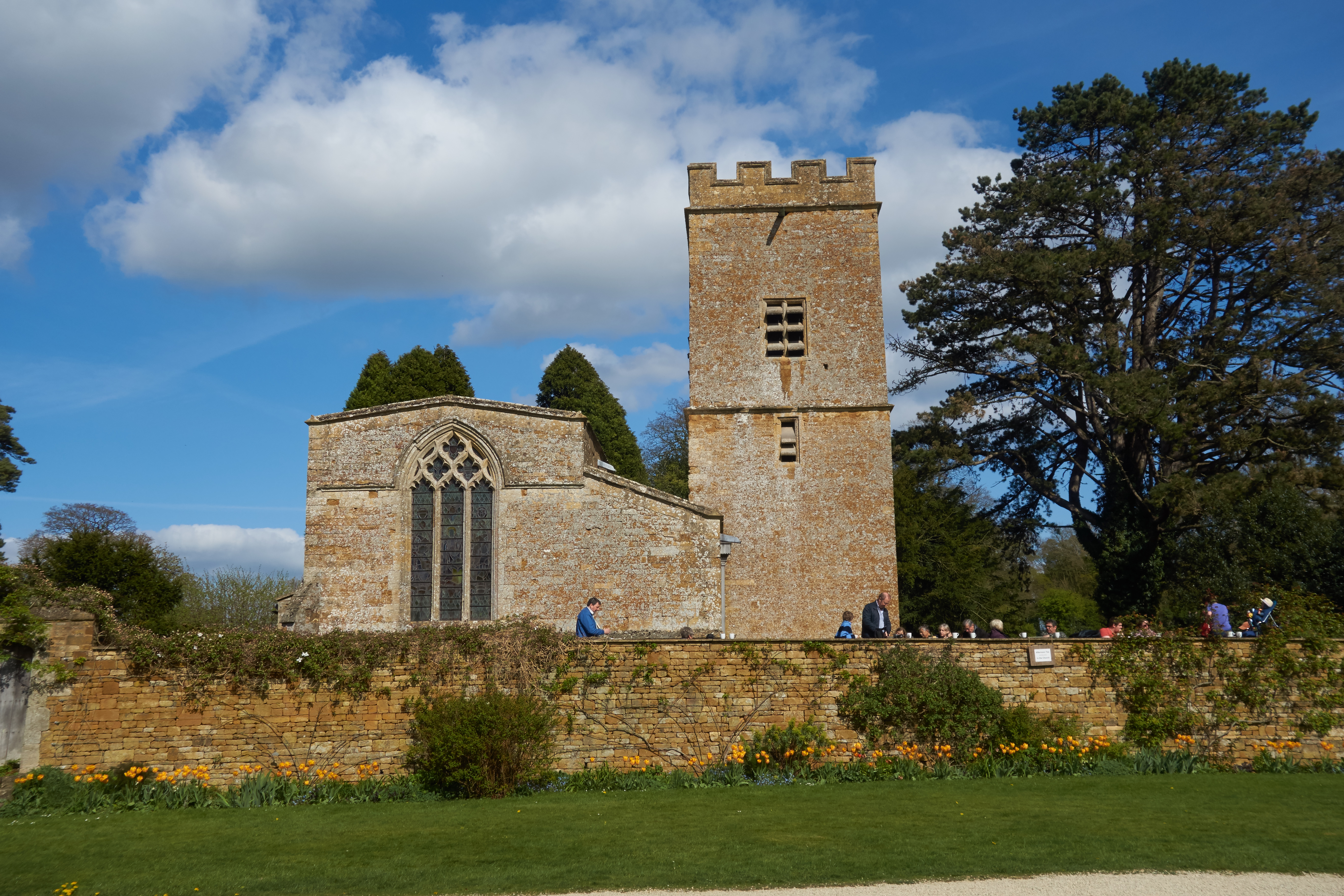
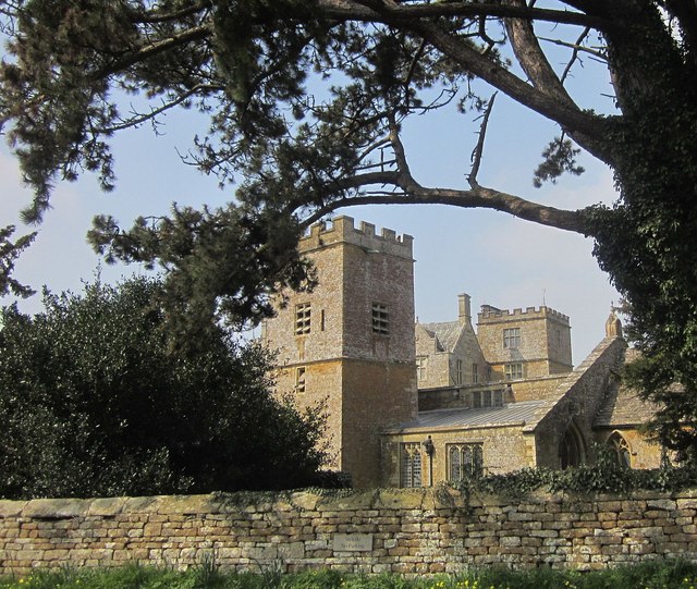
St Mary's Church, Chastleton

The Church of St Mary the Virgin is the Church of England parish church of Chastleton, Oxfordshire, England. It is a parish church in the parish of Little...

Cornwell, Oxfordshire

Cornwell is a small village and civil parish about 2.5 miles (4 km) west of Chipping Norton in the West Oxfordshire district of Oxfordshire, near the county...

Daylesford House

Daylesford House is a Georgian country house near Daylesford, Gloucestershire, England, on the north bank of the River Evenlode near the border with Oxfordshire...

Adlestrop

Adlestrop () is a village and civil parish in the Cotswolds, 3 miles (5 km) east of Stow-on-the-Wold, Gloucestershire, England, on the county boundary...
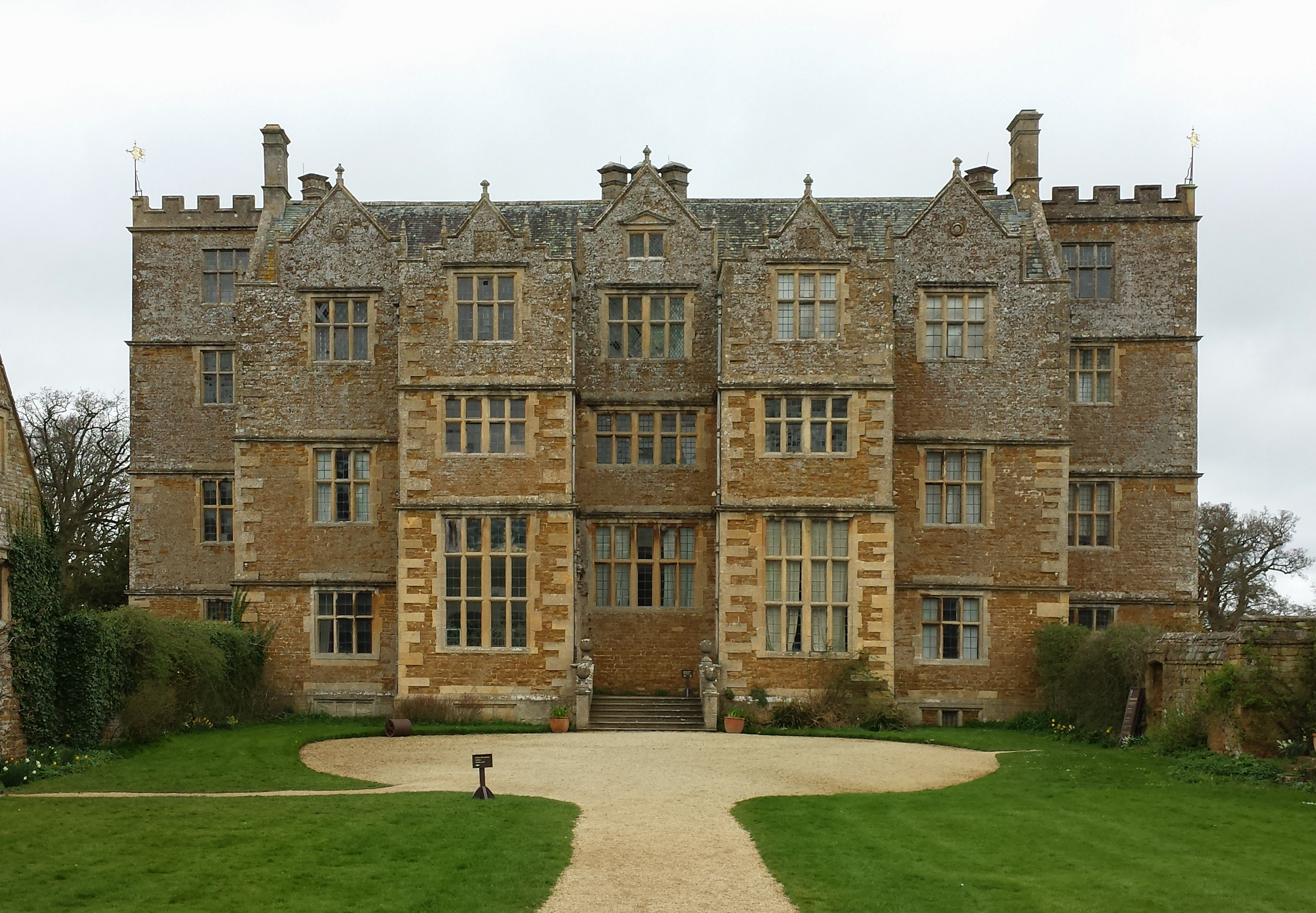
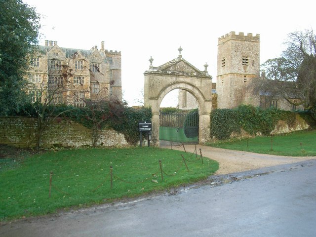
Chastleton House

Chastleton House () is a Jacobean country house at Chastleton, Oxfordshire, England, close to Moreton-in-Marsh (grid reference SP2429). It has been owned...

Little Compton, Warwickshire

Little Compton is a village and civil parish in the Stratford-on-Avon district, in south Warwickshire, England, and is located about three miles east of...

Kingham Hill School

Kingham Hill School is a Christian co-educational private day and boarding school for children aged 11–19, located near the village of Kingham in Oxfordshire...

Nearby Amenities

Located within 500m of 51.952256,-1.6263221
Chastleton barrow
Historic: archaeological_site
Lat/Long: 51.9518948/-1.6251958
Material: wood
Power: pole
Lat/Long: 51.9558024/-1.624614
Material: wood
Power: pole
Lat/Long: 51.9565925/-1.6244477
Material: wood
Power: pole
Lat/Long: 51.9561958/-1.6245309
The data included in this document is from www.openstreetmap.org. The data is made available under ODbL.

Have you been to Adlestrop Hill?

Leave your review of Adlestrop Hill below (or comments, questions and feedback).