Celler Hill
Hill, Mountain in Yorkshire Harrogate
England
Celler Hill

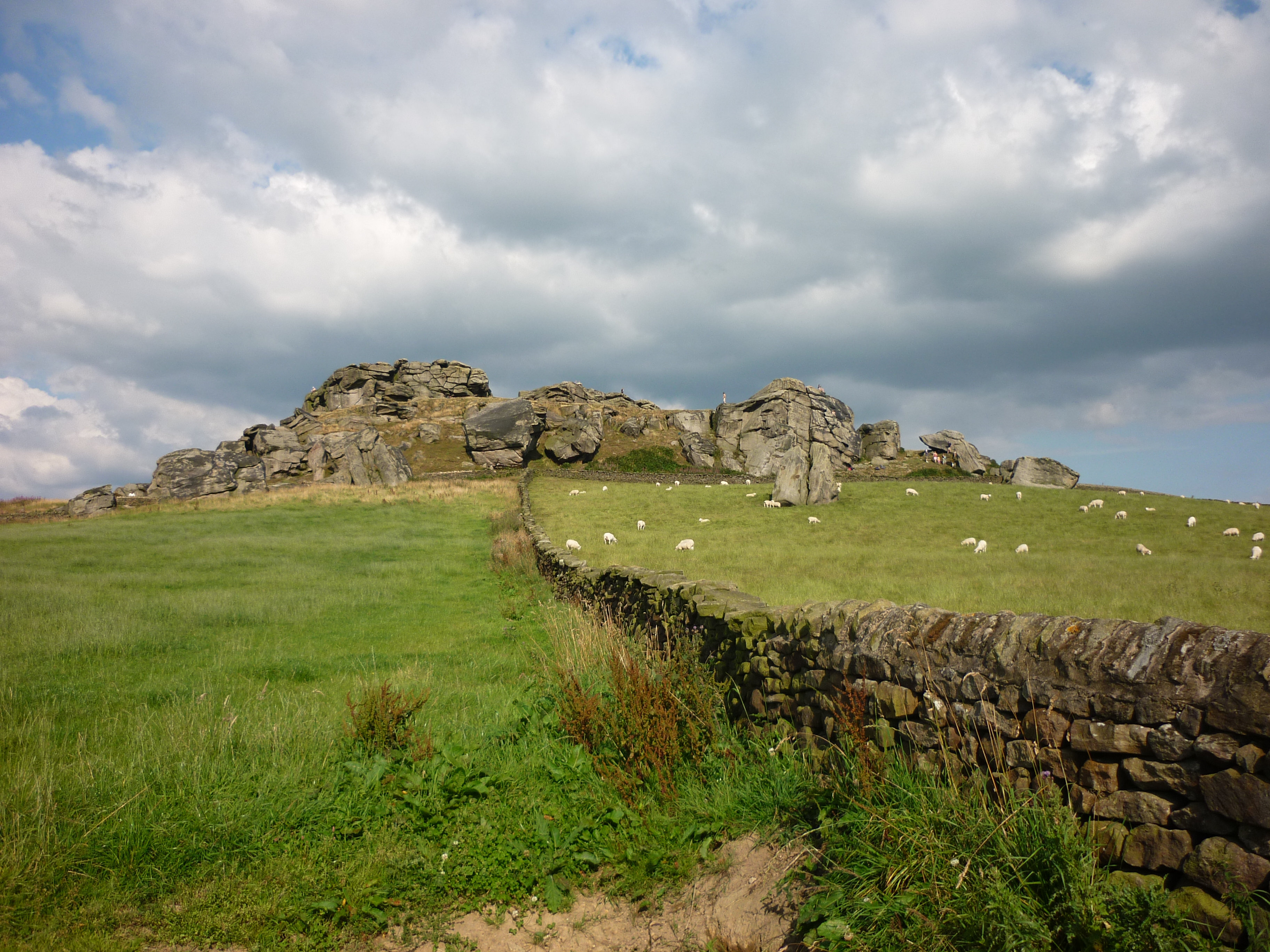
Celler Hill is a notable hill located in Yorkshire, England. Situated in the western part of the county, it forms part of the Pennine Hills, which stretch across northern England. Rising to an elevation of approximately 463 meters (1,519 feet), Celler Hill offers stunning panoramic views of the surrounding landscape.
The hill is renowned for its distinct geological features, characterized by craggy slopes and exposed rock formations. It is predominantly composed of millstone grit, a type of sandstone that is prevalent in the region. This rock formation provides an ideal habitat for a variety of flora and fauna, making it a popular destination for nature enthusiasts and hikers.
Celler Hill is also steeped in history, with evidence of human activity dating back thousands of years. Archaeological discoveries in the area have included ancient burial sites, indicating that the hill held significance to past communities. Today, visitors can explore remnants of these historical sites while enjoying the natural beauty of the surroundings.
The hill is easily accessible, with well-maintained footpaths and trails leading to its summit. Hikers and walkers can embark on a challenging yet rewarding journey, accompanied by breathtaking views of the Yorkshire countryside. Celler Hill attracts visitors throughout the year, with its heather-covered slopes offering a vibrant display of colors during the summer months.
In conclusion, Celler Hill is a captivating destination in Yorkshire, offering a blend of natural beauty, geological intrigue, and historical significance. Its commanding presence in the landscape, coupled with its accessibility, makes it a must-visit location for outdoor enthusiasts and those seeking a deeper connection with the region's past.
If you have any feedback on the listing, please let us know in the comments section below.
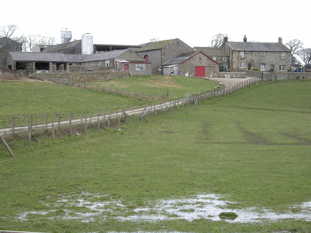
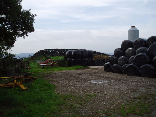
Celler Hill Images
Images are sourced within 2km of 53.923192/-1.612538 or Grid Reference SE2547. Thanks to Geograph Open Source API. All images are credited.


Celler Hill is located at Grid Ref: SE2547 (Lat: 53.923192, Lng: -1.612538)
Division: West Riding
Administrative County: North Yorkshire
District: Harrogate
Police Authority: North Yorkshire
What 3 Words
///others.hiring.contact. Near Stainburn, North Yorkshire
Nearby Locations
Related Wikis
Stainburn
Stainburn is a village and civil parish in the Harrogate district of North Yorkshire, England, 10 miles (16 km) north of Leeds. The population of the civil...
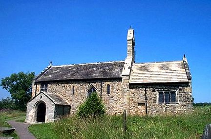
St Mary's Church, Stainburn
St Mary's Church is a redundant Anglican church in the village of Stainburn, North Yorkshire, England. It is recorded in the National Heritage List for...
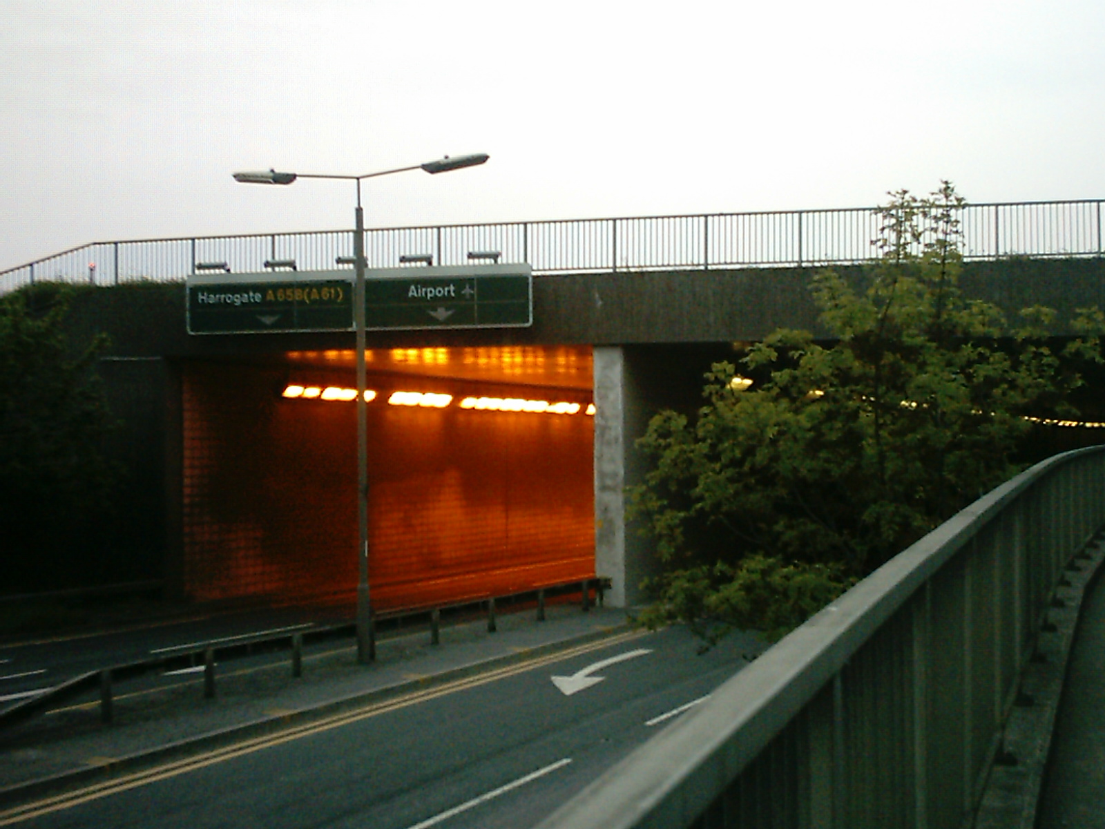
A658 road
The A658 is a road in Yorkshire, UK. == Route == It runs from Bradford, West Yorkshire (53.7949°N 1.7487°W / 53.7949; -1.7487 (A658 road (southwestern...

Braythorn
Braythorn is a village in the Harrogate district of North Yorkshire, England.

Huby, Harrogate
Huby is a village in the Harrogate district of North Yorkshire that lies approximately 5 miles (8 km) south of the town of Harrogate and 8.63 miles (13...
Almscliffe Crag
Almscliffe Crag, or Almscliff Crag, also known as Great Almscliff Crag to distinguish from Little Almscliff, 3 miles (5 km) north west, is a Millstone...

Castley
Castley is a village and civil parish in the Harrogate district of North Yorkshire, England. It lies on a bend in the River Wharfe about 10 miles (16 km...

Weeton railway station
Weeton railway station serves the villages of Weeton and Huby in North Yorkshire, England. It is located on the Harrogate Line 11.5 miles (19 km) north...
Nearby Amenities
Located within 500m of 53.923192,-1.612538Have you been to Celler Hill?
Leave your review of Celler Hill below (or comments, questions and feedback).