Barks Hill

Hill, Mountain in Yorkshire Harrogate

England

Barks Hill

St. Mary's Church Stainburn Stainburn St Mary, the small church is Norman with a Norman Font and the Porch is Medieval, the key is available to view the Church from Home Farm
St. Mary's Church Stainburn Credit: Mick Melvin

Barks Hill is a prominent hill located in the county of Yorkshire, England. Situated in the Yorkshire Dales National Park, it forms part of the stunning Pennine Range, a series of hills and mountains renowned for their natural beauty and scenic landscapes.

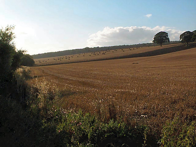
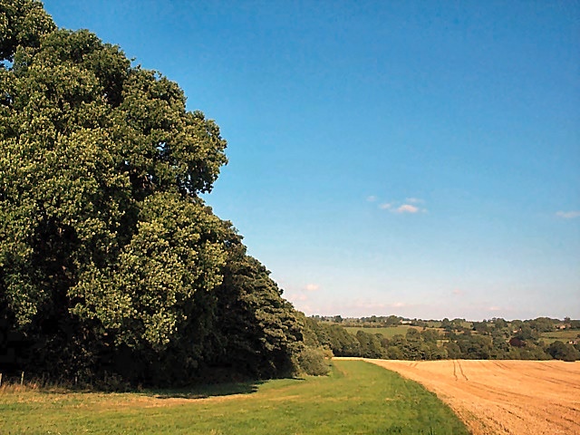
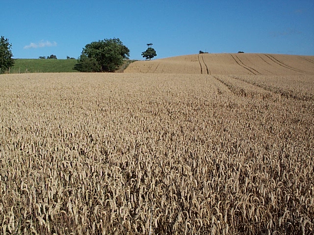
Rising to an elevation of approximately 650 meters (2,133 feet), Barks Hill offers breathtaking panoramic views of the surrounding countryside, making it a popular destination for hikers, nature enthusiasts, and photographers. The hill's diverse terrain includes rocky outcrops, grassy slopes, and heather-covered moorland, creating a picturesque setting that changes with the seasons.

The summit of Barks Hill provides an excellent vantage point, offering sweeping vistas across the rolling hills, verdant valleys, and meandering rivers that characterize the Yorkshire Dales. On clear days, it is even possible to see as far as the nearby towns of Skipton and Settle, adding to the allure of this natural landmark.

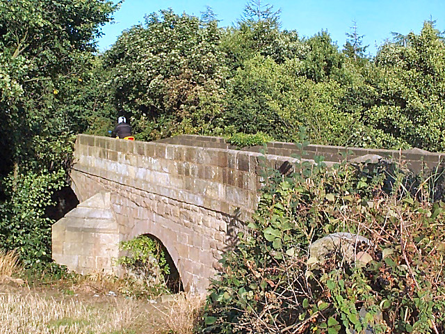
Access to Barks Hill is relatively straightforward, with well-marked footpaths and trails leading to its peak. The hill can be reached from several starting points, including nearby villages such as Grassington and Arncliffe, ensuring that visitors have a variety of options for exploring the area.

Barks Hill is not only a haven for outdoor enthusiasts but also supports a diverse range of flora and fauna. The hill is home to various bird species, including peregrine falcons, curlews, and grouse, while its slopes are covered in vibrant wildflowers during the summer months.

Overall, Barks Hill offers a captivating blend of natural beauty, stunning views, and ecological significance, making it a cherished destination within the Yorkshire Dales.

If you have any feedback on the listing, please let us know in the comments section below.
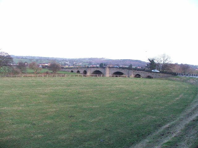
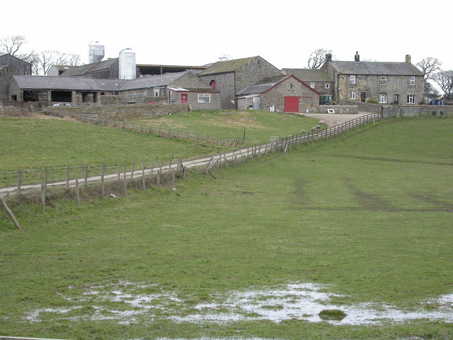
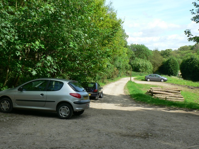
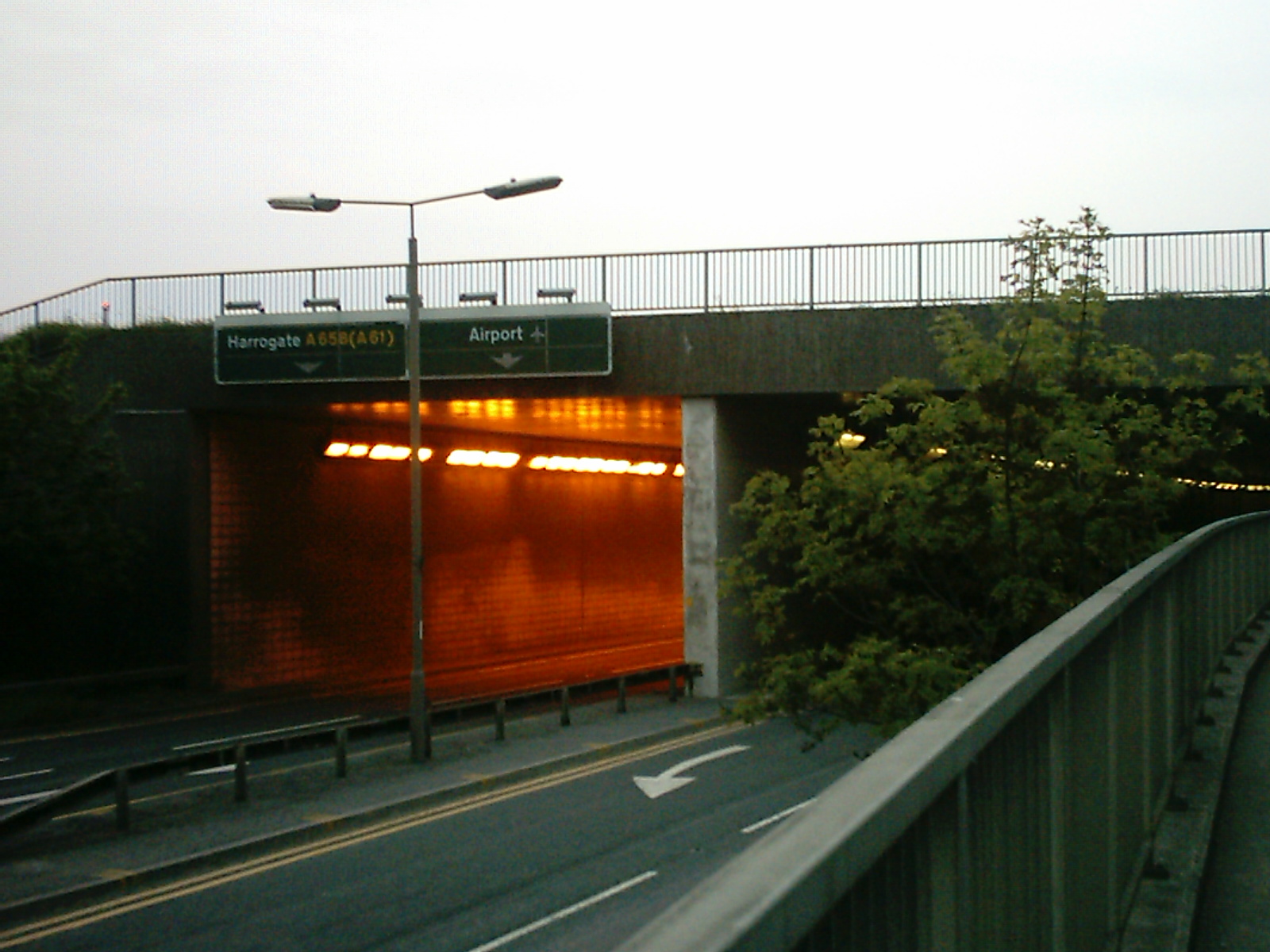
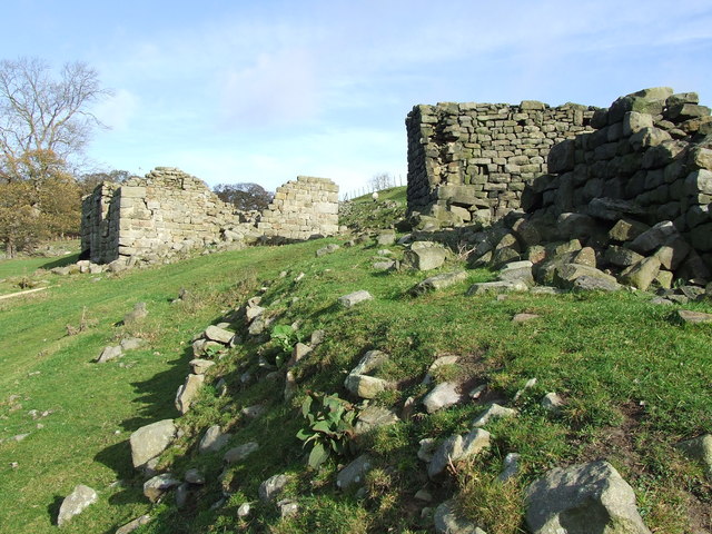
Barks Hill Images

Images are sourced within 2km of 53.920334/-1.6388297 or Grid Reference SE2347. Thanks to Geograph Open Source API. All images are credited.

St. Mary's Church Stainburn Stainburn St Mary, the small church is Norman with a Norman Font and the Porch is Medieval, the key is available to view the Church from Home Farm
St. Mary's Church Stainburn
Stainburn St Mary, the small church is Norman with a Norman Font and the Porch is Medieval, the key is available to view the Church from Home Farm
River Wharfe at Pool Seen from Pool bridge, looking westwards (upstream).
River Wharfe at Pool
Seen from Pool bridge, looking westwards (upstream).
Pool paper mill On the southern side of the A659.  Let's not discuss the paint job.
Pool paper mill
On the southern side of the A659. Let's not discuss the paint job.
Stubble and straw bales east of Otley The different stages of harvesting are shown here. Bales of straw await collection on the western horizon at the gridsquare boundary, there is bare stubble in the foreground, and between them an area of recently ploughed land looks almost like a wall.
Stubble and straw bales east of Otley
The different stages of harvesting are shown here. Bales of straw await collection on the western horizon at the gridsquare boundary, there is bare stubble in the foreground, and between them an area of recently ploughed land looks almost like a wall.
Leathley Bridge The bridge crosses the River Washburn shortly before its confluence with the Wharfe.  Although vegetation obscures the river and the bridge's main span, the motorcyclist on the bridge's brow establishes the scale of the bridge.  It is therefore surprising that the modest River Washburn supports such an enormous series of reservoirs on its way to this point.
Leathley Bridge
The bridge crosses the River Washburn shortly before its confluence with the Wharfe. Although vegetation obscures the river and the bridge's main span, the motorcyclist on the bridge's brow establishes the scale of the bridge. It is therefore surprising that the modest River Washburn supports such an enormous series of reservoirs on its way to this point.
Farnley Estate land To the left, a private wood and hidden lake belonging to the Farnley Estate.  To the right, a cornfield with an eco-friendly margin of grassland that includes the footpath which crosses the gridsquare east/west.
Farnley Estate land
To the left, a private wood and hidden lake belonging to the Farnley Estate. To the right, a cornfield with an eco-friendly margin of grassland that includes the footpath which crosses the gridsquare east/west.
River Washburn at Leathley Seen from the footbridge near Fishpool looking southwards, the river has surprisingly steep wooded banks.
River Washburn at Leathley
Seen from the footbridge near Fishpool looking southwards, the river has surprisingly steep wooded banks.
Hilly cornfield, Leathley Moor The term 'moor' implies an upland location but, as seen here, it doesn't necessarily imply that the land is barren.
Hilly cornfield, Leathley Moor
The term 'moor' implies an upland location but, as seen here, it doesn't necessarily imply that the land is barren.
Lindley Bridge The bridge carries a quiet minor road across the wooded course of the River Washburn below Lindley Wood Reservoir.
Lindley Bridge
The bridge carries a quiet minor road across the wooded course of the River Washburn below Lindley Wood Reservoir.
Riffa Wood Eastern boundary of Riffa Wood from the A658 Harrogate/Bradford Road
Riffa Wood
Eastern boundary of Riffa Wood from the A658 Harrogate/Bradford Road
Pool Bridge. This is where the A658 (Harrogate Rd) crosses over the Wharfe.
Pool Bridge.
This is where the A658 (Harrogate Rd) crosses over the Wharfe.
Riffa Farm A North Yorkshire Dairy Farm.
Riffa Farm
A North Yorkshire Dairy Farm.
Bogridge Farm Viewed looking west from the slopes of Round Hill (through a barbed wire fence)
Bogridge Farm
Viewed looking west from the slopes of Round Hill (through a barbed wire fence)
Footpath to Norwood Bottom, Lindley Bridge The footpath runs alongside Lindley Wood Reservoir
Footpath to Norwood Bottom, Lindley Bridge
The footpath runs alongside Lindley Wood Reservoir
Footpath to Norwood Bottom Sign, Lindley Bridge
Car Park at Lindley Bridge And track towards the trout hatchery
Car Park at Lindley Bridge
And track towards the trout hatchery
Lindley Bridge Looking from the north at the bridge over the River Washburn
Lindley Bridge
Looking from the north at the bridge over the River Washburn
Track by River Washburn, Lindley Bridge On the south side of the river
Track by River Washburn, Lindley Bridge
On the south side of the river
Show me another place!

Barks Hill is located at Grid Ref: SE2347 (Lat: 53.920334, Lng: -1.6388297)

Division: West Riding

Administrative County: North Yorkshire

District: Harrogate

Police Authority: North Yorkshire

What 3 Words

///presides.generally.refuse. Near Stainburn, North Yorkshire

Related Wikis

Leathley

Leathley is a village and civil parish in the Harrogate district of North Yorkshire, England, the parish includes the townships of both Castley and Leathley...

A658 road

The A658 is a road in Yorkshire, UK. == Route == It runs from Bradford, West Yorkshire (53.7949°N 1.7487°W / 53.7949; -1.7487 (A658 road (southwestern...
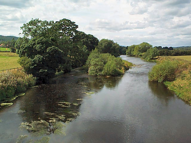
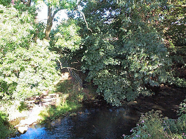
River Washburn

The River Washburn is a river in Yorkshire, England. It originates high in the Yorkshire Dales and ends where it meets the River Wharfe. It lies within...

Lindley, North Yorkshire

Lindley is a village and civil parish in the Harrogate district of North Yorkshire, England. It is near Lindley Wood Reservoir and 1 mile north of Otley...

Stainburn

Stainburn is a village and civil parish in the Harrogate district of North Yorkshire, England, 10 miles (16 km) north of Leeds. The population of the civil...

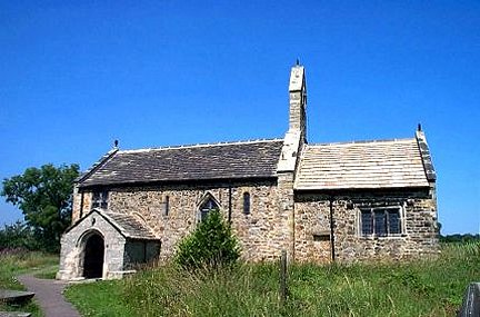
St Mary's Church, Stainburn

St Mary's Church is a redundant Anglican church in the village of Stainburn, North Yorkshire, England. It is recorded in the National Heritage List for...

Braythorn

Braythorn is a village in the Harrogate district of North Yorkshire, England.

Pool-in-Wharfedale

Pool-in-Wharfedale or Pool in Wharfedale, usually abbreviated to Pool, is a village and civil parish in Lower Wharfedale, West Yorkshire, England, 10 miles...

Nearby Amenities

Located within 500m of 53.920334,-1.6388297
Barks Hill
Natural: peak
Source: os_25k_firstseries
Lat/Long: 53.9189474/-1.6427449
Barrier: stile
Source: survey
Lat/Long: 53.9228336/-1.6446762
Barrier: stile
Source: survey
Lat/Long: 53.9209784/-1.643574
Barrier: stile
Source: survey
Lat/Long: 53.9173352/-1.6395772
Historic: walled_garden
Source: survey
Lat/Long: 53.917486/-1.6392419
Barrier: stile
Lat/Long: 53.9202522/-1.6423436
Rooley Well
Natural: spring
Source: OS Yorkshire 187, 1851
Lat/Long: 53.9235396/-1.6357188
Barrier: stile
Lat/Long: 53.9159817/-1.6383313
Barrier: stile
Lat/Long: 53.922412/-1.6441832
The data included in this document is from www.openstreetmap.org. The data is made available under ODbL.

Have you been to Barks Hill?

Leave your review of Barks Hill below (or comments, questions and feedback).