Leathley Moor

Downs, Moorland in Yorkshire Harrogate

England

Leathley Moor

Hilltop Farm Stainburn Hilltop Farm near Stainburn situated on the B6161 Otley to Harrogate Road
Hilltop Farm Stainburn Credit: Mick Melvin

Leathley Moor is a picturesque expanse of moorland located in the county of Yorkshire, England. Situated in the heart of the Yorkshire Dales National Park, it offers visitors a serene and unspoiled natural landscape to explore.

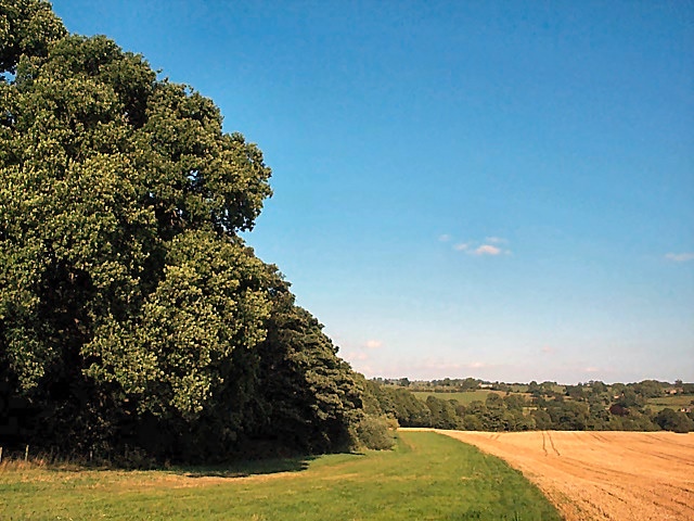
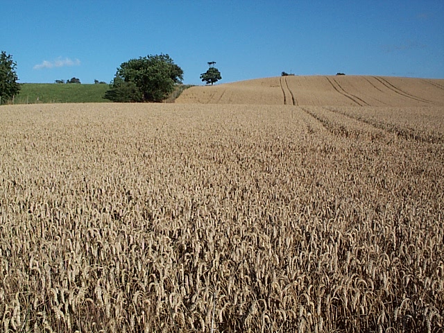
Covering an area of approximately 2 square miles, Leathley Moor boasts a diverse range of habitats, including heather-covered hills, open grassland, and patches of woodland. This variation in terrain supports a rich array of flora and fauna, making it a haven for nature enthusiasts and wildlife lovers.

The moorland is characterized by its gently rolling hills, which provide panoramic views of the surrounding countryside. It is particularly stunning during the summer months when the vibrant purple hue of the blooming heather creates a striking contrast against the greenery.

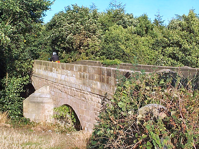
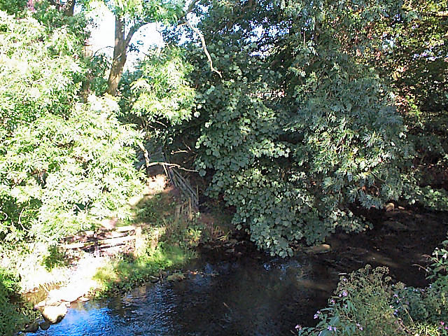
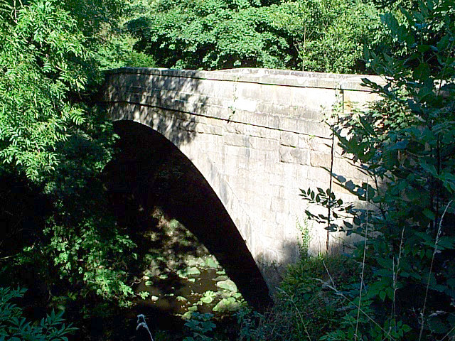
Leathley Moor is crisscrossed by a network of footpaths and bridleways, making it easily accessible for hikers, cyclists, and horse riders. These trails wind through the moor, offering opportunities to discover hidden valleys, babbling streams, and ancient archaeological sites.

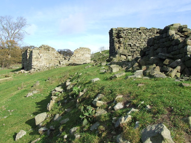
The area is also steeped in history, with evidence of human occupation dating back thousands of years. Prehistoric remains, such as burial mounds and stone circles, can be found scattered across the moor, adding an air of mystique to the landscape.

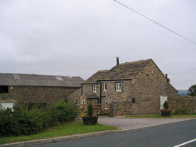
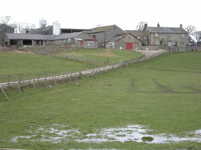
Despite its remote and tranquil atmosphere, Leathley Moor is conveniently located close to the charming village of Leathley, which offers amenities such as accommodations, pubs, and cafes. This makes it an ideal destination for those seeking a peaceful escape within easy reach of modern conveniences.

If you have any feedback on the listing, please let us know in the comments section below.

Leathley Moor Images

Images are sourced within 2km of 53.926973/-1.6405542 or Grid Reference SE2347. Thanks to Geograph Open Source API. All images are credited.

Hilltop Farm Stainburn Hilltop Farm near Stainburn situated on the B6161 Otley to Harrogate Road
Hilltop Farm Stainburn
Hilltop Farm near Stainburn situated on the B6161 Otley to Harrogate Road
Braythorn Village North Yorkshire A view looking North through Braythorn Village close to the entrance to Gayle Farm.
Braythorn Village North Yorkshire
A view looking North through Braythorn Village close to the entrance to Gayle Farm.
St. Mary's Church Stainburn Stainburn St Mary, the small church is Norman with a Norman Font and the Porch is Medieval, the key is available to view the Church from Home Farm
St. Mary's Church Stainburn
Stainburn St Mary, the small church is Norman with a Norman Font and the Porch is Medieval, the key is available to view the Church from Home Farm
Home Farm Stainburn This view of Home Farm Stainburn is taken from the footpath to Merrybank Lane
Home Farm Stainburn
This view of Home Farm Stainburn is taken from the footpath to Merrybank Lane
Leathley Bridge The bridge crosses the River Washburn shortly before its confluence with the Wharfe.  Although vegetation obscures the river and the bridge's main span, the motorcyclist on the bridge's brow establishes the scale of the bridge.  It is therefore surprising that the modest River Washburn supports such an enormous series of reservoirs on its way to this point.
Leathley Bridge
The bridge crosses the River Washburn shortly before its confluence with the Wharfe. Although vegetation obscures the river and the bridge's main span, the motorcyclist on the bridge's brow establishes the scale of the bridge. It is therefore surprising that the modest River Washburn supports such an enormous series of reservoirs on its way to this point.
Farnley Estate land To the left, a private wood and hidden lake belonging to the Farnley Estate.  To the right, a cornfield with an eco-friendly margin of grassland that includes the footpath which crosses the gridsquare east/west.
Farnley Estate land
To the left, a private wood and hidden lake belonging to the Farnley Estate. To the right, a cornfield with an eco-friendly margin of grassland that includes the footpath which crosses the gridsquare east/west.
River Washburn at Leathley Seen from the footbridge near Fishpool looking southwards, the river has surprisingly steep wooded banks.
River Washburn at Leathley
Seen from the footbridge near Fishpool looking southwards, the river has surprisingly steep wooded banks.
Hilly cornfield, Leathley Moor The term 'moor' implies an upland location but, as seen here, it doesn't necessarily imply that the land is barren.
Hilly cornfield, Leathley Moor
The term 'moor' implies an upland location but, as seen here, it doesn't necessarily imply that the land is barren.
Lindley Bridge The bridge carries a quiet minor road across the wooded course of the River Washburn below Lindley Wood Reservoir.
Lindley Bridge
The bridge carries a quiet minor road across the wooded course of the River Washburn below Lindley Wood Reservoir.
Lindley Hall Farm Here the farm buildings have been modernised and, I suspect, converted into several homes.
Lindley Hall Farm
Here the farm buildings have been modernised and, I suspect, converted into several homes.
Houses opposite Lindley Hall Farm, Lindley, North Yorkshire These are built in vernacular style, but are modern (not shown on the 1974 1:25000 map).
Houses opposite Lindley Hall Farm, Lindley, North Yorkshire
These are built in vernacular style, but are modern (not shown on the 1974 1:25000 map).
Riffa Farm A North Yorkshire Dairy Farm.
Riffa Farm
A North Yorkshire Dairy Farm.
Bogridge Farm Viewed looking west from the slopes of Round Hill (through a barbed wire fence)
Bogridge Farm
Viewed looking west from the slopes of Round Hill (through a barbed wire fence)
Overflow and Dam, Lindley Wood Reservoir Lindley Wood is one of 4 reservoirs in the Washburn Valley. It was built in the 1870s to supply water to Leeds.
Overflow and Dam, Lindley Wood Reservoir
Lindley Wood is one of 4 reservoirs in the Washburn Valley. It was built in the 1870s to supply water to Leeds.
Dam, Lindley Wood Reservoir Environment Agency River Level Recorder in foreground.
Dam, Lindley Wood Reservoir
Environment Agency River Level Recorder in foreground.
Environment Agency River Level Recorder By the overflow of Lindley Wood Reservoir
Environment Agency River Level Recorder
By the overflow of Lindley Wood Reservoir
Lindley Bottom Footpath through the wood towards the reservoir
Lindley Bottom
Footpath through the wood towards the reservoir
Footpath to Norwood Bottom, Lindley Bridge The footpath runs alongside Lindley Wood Reservoir
Footpath to Norwood Bottom, Lindley Bridge
The footpath runs alongside Lindley Wood Reservoir
Show me another place!

Leathley Moor is located at Grid Ref: SE2347 (Lat: 53.926973, Lng: -1.6405542)

Division: West Riding

Administrative County: North Yorkshire

District: Harrogate

Police Authority: North Yorkshire

What 3 Words

///cork.intruding.eaten. Near Stainburn, North Yorkshire

Related Wikis

Leathley

Leathley is a village and civil parish in the Harrogate district of North Yorkshire, England, the parish includes the townships of both Castley and Leathley...

Lindley, North Yorkshire

Lindley is a village and civil parish in the Harrogate district of North Yorkshire, England. It is near Lindley Wood Reservoir and 1 mile north of Otley...

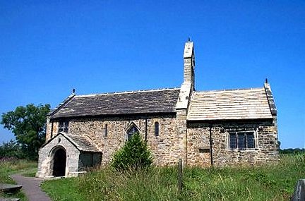
St Mary's Church, Stainburn

St Mary's Church is a redundant Anglican church in the village of Stainburn, North Yorkshire, England. It is recorded in the National Heritage List for...

Braythorn

Braythorn is a village in the Harrogate district of North Yorkshire, England.

Stainburn

Stainburn is a village and civil parish in the Harrogate district of North Yorkshire, England, 10 miles (16 km) north of Leeds. The population of the civil...

River Washburn

The River Washburn is a river in Yorkshire, England. It originates high in the Yorkshire Dales and ends where it meets the River Wharfe. It lies within...

Farnley, North Yorkshire

Farnley is a village and civil parish in the Harrogate district of North Yorkshire, England, near Otley, West Yorkshire. The name "Farnley" indicates that...

A658 road

The A658 is a road in Yorkshire, UK. == Route == It runs from Bradford, West Yorkshire (53.7949°N 1.7487°W / 53.7949; -1.7487 (A658 road (southwestern...

Nearby Amenities

Located within 500m of 53.926973,-1.6405542
Leathley Moor
Natural: moor
Lat/Long: 53.9267126/-1.6397104
Natural: well
Source: OS 1:25k
Lat/Long: 53.9276826/-1.6441413
Low Bank
Place: locality
Source: OS 1:25k
Lat/Long: 53.930931/-1.637211
Rooley Well
Natural: spring
Source: OS Yorkshire 187, 1851
Lat/Long: 53.9235396/-1.6357188
Thrispin Head
Place: locality
Source: OS sheet 170, publ 1851
Lat/Long: 53.9306651/-1.6439635
The data included in this document is from www.openstreetmap.org. The data is made available under ODbL.

Have you been to Leathley Moor?

Leave your review of Leathley Moor below (or comments, questions and feedback).