Kelsoe Hill
Hill, Mountain in Northumberland
England
Kelsoe Hill

Kelsoe Hill is a prominent hill located in the county of Northumberland in northern England. Standing at an elevation of approximately 383 meters (1257 feet), it provides breathtaking panoramic views of the surrounding countryside. Situated near the village of Ingram, the hill is part of the stunning Cheviot Hills range, renowned for its natural beauty and diverse wildlife.
Kelsoe Hill is characterized by its gently sloping terrain, covered in lush green grass and heather. The hill is primarily composed of sedimentary rocks, such as sandstone and limestone, which contribute to its distinctive appearance. Its slopes are dotted with scattered trees and shrubs, adding to the charm of the landscape.
The summit of Kelsoe Hill offers a captivating vista, with unobstructed views stretching across the Cheviot Hills and the rolling Northumberland countryside. On a clear day, it is possible to see as far as the North Sea coast and even catch a glimpse of the Scottish borders.
The hill is a haven for hikers, nature enthusiasts, and bird watchers, with various walking trails crisscrossing its slopes. The surrounding area is home to an abundance of wildlife, including red grouse, curlews, and peregrine falcons. Visitors can also spot a rich variety of plant species, including purple heather and yellow gorse, which blossom during the summer months, creating a vibrant and picturesque scene.
Kelsoe Hill is not only a natural treasure but also a place of historical significance. It is believed to have been a site of Iron Age settlements, and remnants of ancient hillforts can still be found in the vicinity. These historical markers add an extra layer of intrigue to an already captivating destination.
If you have any feedback on the listing, please let us know in the comments section below.
Kelsoe Hill Images
Images are sourced within 2km of 55.508551/-1.632422 or Grid Reference NU2323. Thanks to Geograph Open Source API. All images are credited.


Kelsoe Hill is located at Grid Ref: NU2323 (Lat: 55.508551, Lng: -1.632422)
Unitary Authority: Northumberland
Police Authority: Northumbria
What 3 Words
///minivans.circling.crowd. Near Embleton, Northumberland
Nearby Locations
Related Wikis

Newton-by-the-Sea
Newton-by-the-Sea is a civil parish in the county of Northumberland in Northern England. The parish is about 8 miles northwest of Alnwick, and lies on...
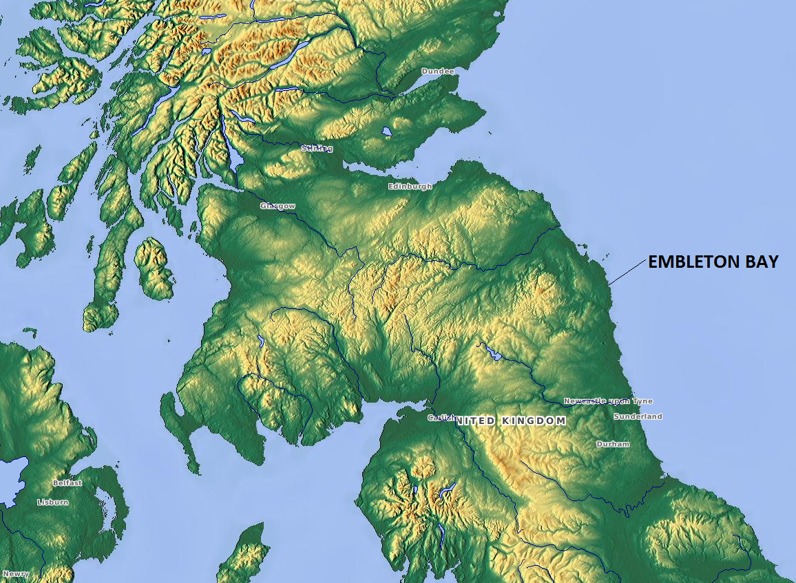
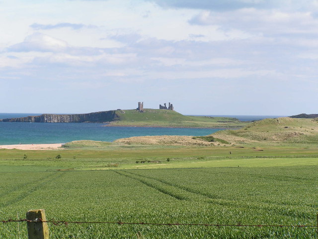
Embleton Bay
Embleton Bay is a bay on the North Sea, located to the east of the village of Embleton, Northumberland, England. It lies just to the south of Newton-by...

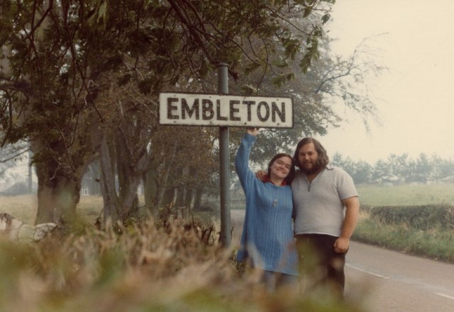
Embleton, Northumberland
Embleton is a village and civil parish in the English county of Northumberland. Besides the village of Embleton itself, the civil parish includes the settlement...
Church of the Holy Trinity, Embleton
The Church of the Holy Trinity is located in Embleton, Northumberland, England. The church, dedicated to the Holy Trinity, is west of the village. Built...
Nearby Amenities
Located within 500m of 55.508551,-1.632422Have you been to Kelsoe Hill?
Leave your review of Kelsoe Hill below (or comments, questions and feedback).