Bury Hill

Hill, Mountain in Berkshire Vale of White Horse

England

Bury Hill

Dolphin and Putti sculpture, The Water Garden, Buscot Park This bronze sculpture can be found in the Water Garden designed by Harold Peto in 1904. Does the iconography mean anything? Another example can be found at Hidcote <a href="https://www.geograph.org.uk/photo/6969809">SP1742 : Dolphin and Putti sculpture, Hidcote Manor, Hidcote Bartrim</a>
Dolphin and Putti sculpture, The Water Garden, Buscot Park Credit: Brian Robert Marshall

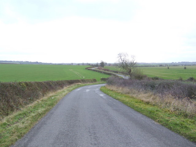
Bury Hill is a prominent hill located in the county of Berkshire, England. Situated in the southern part of the county, it forms part of the Berkshire Downs, a range of chalk hills that extend across the region. Bury Hill stands at an elevation of approximately 261 meters (856 feet) above sea level, making it one of the highest points in Berkshire.

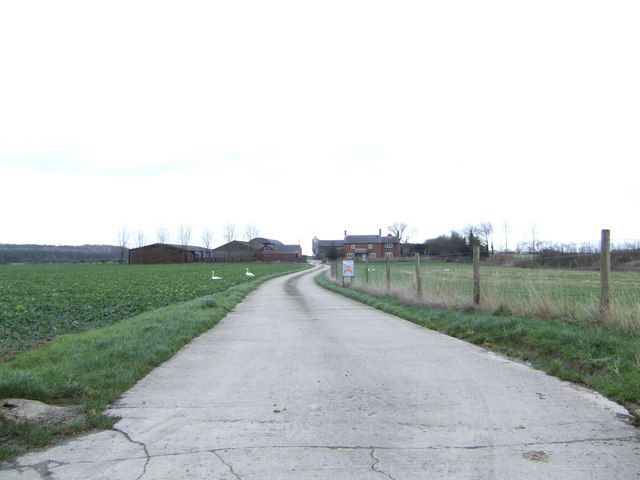
The hill offers breathtaking panoramic views of the surrounding countryside, with sweeping vistas of rolling hills, farmland, and charming villages. On clear days, it is even possible to catch a glimpse of the distant city of Oxford. The area is a popular destination for hikers and nature enthusiasts due to its extensive network of footpaths and bridleways, allowing visitors to explore the beautiful countryside and take in the tranquil ambiance.

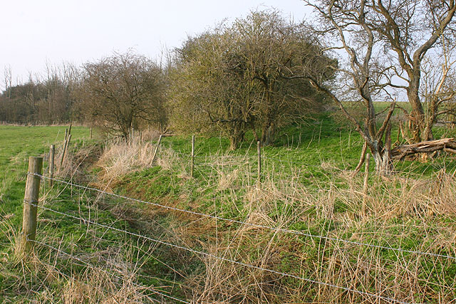
Bury Hill is also known for its rich historical and archaeological significance. The hill is home to several ancient burial mounds, known as barrows, which date back to the Bronze Age. These burial sites provide valuable insights into the lives and customs of the people who inhabited the area thousands of years ago.

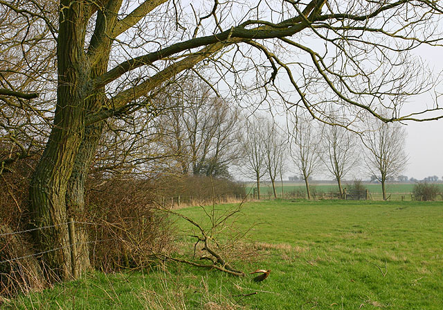
The surrounding area of Bury Hill is characterized by a diverse range of flora and fauna, with an abundance of wildflowers, woodland, and open grasslands. This attracts a variety of wildlife, including birds, butterflies, and small mammals, creating a haven for nature enthusiasts and birdwatchers.

Overall, Bury Hill offers a unique combination of natural beauty, historical significance, and recreational opportunities, making it an appealing destination for both locals and tourists alike.

If you have any feedback on the listing, please let us know in the comments section below.
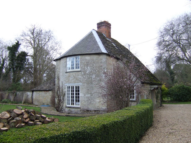
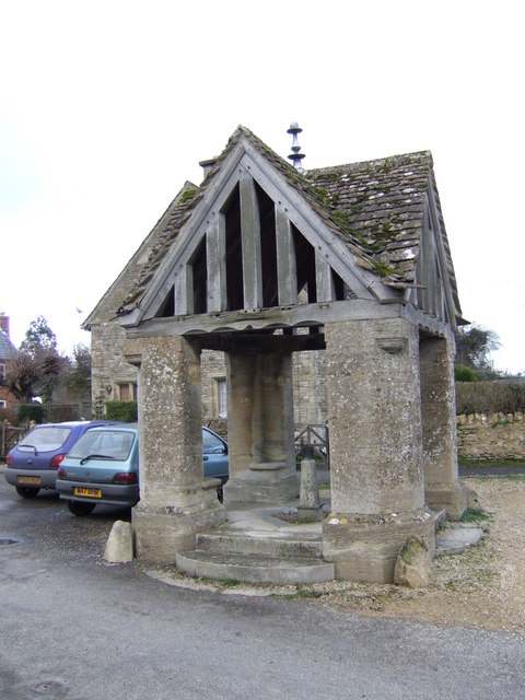
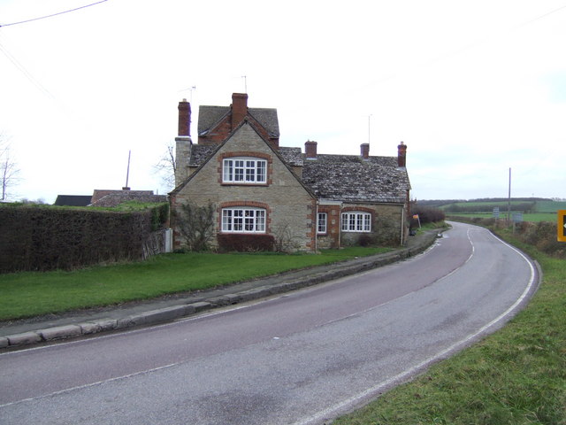
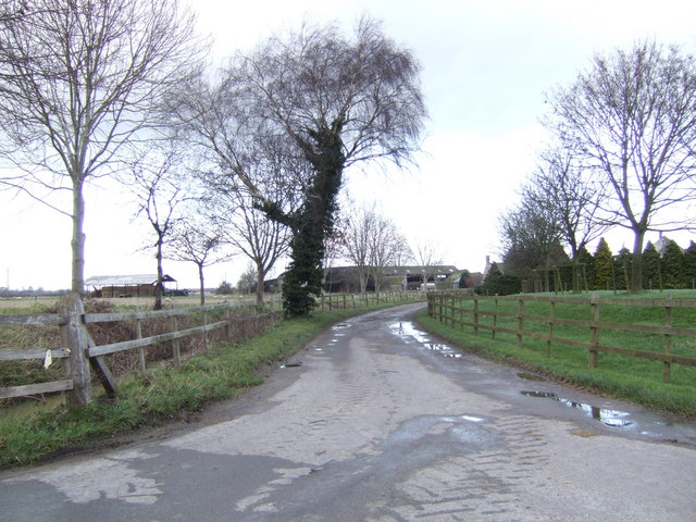
Bury Hill Images

Images are sourced within 2km of 51.670484/-1.6643747 or Grid Reference SU2396. Thanks to Geograph Open Source API. All images are credited.

Dolphin and Putti sculpture, The Water Garden, Buscot Park This bronze sculpture can be found in the Water Garden designed by Harold Peto in 1904. Does the iconography mean anything? Another example can be found at Hidcote <a href="https://www.geograph.org.uk/photo/6969809">SP1742 : Dolphin and Putti sculpture, Hidcote Manor, Hidcote Bartrim</a>
Dolphin and Putti sculpture, The Water Garden, Buscot Park
This bronze sculpture can be found in the Water Garden designed by Harold Peto in 1904. Does the iconography mean anything? Another example can be found at Hidcote SP1742 : Dolphin and Putti sculpture, Hidcote Manor, Hidcote Bartrim
St Mary's Church, Buscot
Cheese Wharf near Lechlade This is National Trust property, just off the A417(T) from Lechlade. The square is largely farmland and this National Trust property.
Cheese Wharf near Lechlade
This is National Trust property, just off the A417(T) from Lechlade. The square is largely farmland and this National Trust property.
The walled garden at Buscot Park
Roadside Cottages, Eaton Hastings
Buscot lock This is the smallest lock of the 45 on the River Thames. It was built in 1790 and still has the heavy wooden beams which the lock keeper uses to open and close the gates.
Buscot lock
This is the smallest lock of the 45 on the River Thames. It was built in 1790 and still has the heavy wooden beams which the lock keeper uses to open and close the gates.
River Thames The lock gates at Buscot have been opened and a surge of water goes down the Thames. Boats travelling these waters use both the canal and the River Thames.
River Thames
The lock gates at Buscot have been opened and a surge of water goes down the Thames. Boats travelling these waters use both the canal and the River Thames.
Buscot weir This 'quiet' photo doesn't do justice to the actual noise of the weir which is just under the bridge next to the 'danger'sign. The little cottage is a National Trust holiday cottage. Not much sleep to be had there I fear! However, to compensate, this area is rich in wildlife, with otters and kingfishers if you are patient.
Buscot weir
This 'quiet' photo doesn't do justice to the actual noise of the weir which is just under the bridge next to the 'danger'sign. The little cottage is a National Trust holiday cottage. Not much sleep to be had there I fear! However, to compensate, this area is rich in wildlife, with otters and kingfishers if you are patient.
Cottage on the Buscot Estate This countryman's cottage lies between the main A417 road and Buscot Park behind the wall at the rear.
Cottage on the Buscot Estate
This countryman's cottage lies between the main A417 road and Buscot Park behind the wall at the rear.
National Trust village of Buscot Part of the Buscot and Coleshill Estates.
National Trust village of Buscot
Part of the Buscot and Coleshill Estates.
Village Well Head In the pretty NT village of Buscot.
Village Well Head
In the pretty NT village of Buscot.
Houses by the A417 On a bend in the road between lechlade and Buscot near the Snowswick Lane turn.
Houses by the A417
On a bend in the road between lechlade and Buscot near the Snowswick Lane turn.
Lane to Buscot Wick Farm
Snowswick Lane Gently winding away southwards to Coleshill.
Snowswick Lane
Gently winding away southwards to Coleshill.
Road to Pennyswick Farm General farmers but with geese wandering about as if they own the place.
Road to Pennyswick Farm
General farmers but with geese wandering about as if they own the place.
St. Mary's Church, Buscot
Hedges and trees near the River Cole The soft evening light on trees and hedges near the River Cole at Upper Inglesham.
Hedges and trees near the River Cole
The soft evening light on trees and hedges near the River Cole at Upper Inglesham.
Dry ditch near the River Cole A ditch running parallel with the River Cole near Upper Inglesham.
Dry ditch near the River Cole
A ditch running parallel with the River Cole near Upper Inglesham.
Show me another place!

Bury Hill is located at Grid Ref: SU2396 (Lat: 51.670484, Lng: -1.6643747)

Administrative County: Oxfordshire

District: Vale of White Horse

Police Authority: Thames Valley

What 3 Words

///hamsters.gender.braved. Near Lechlade, Gloucestershire

Related Wikis

Buscot

Buscot is an English village and civil parish on the River Thames, about 1.5 miles (2.4 km) south-east of Lechlade. Buscot was part of Berkshire until...
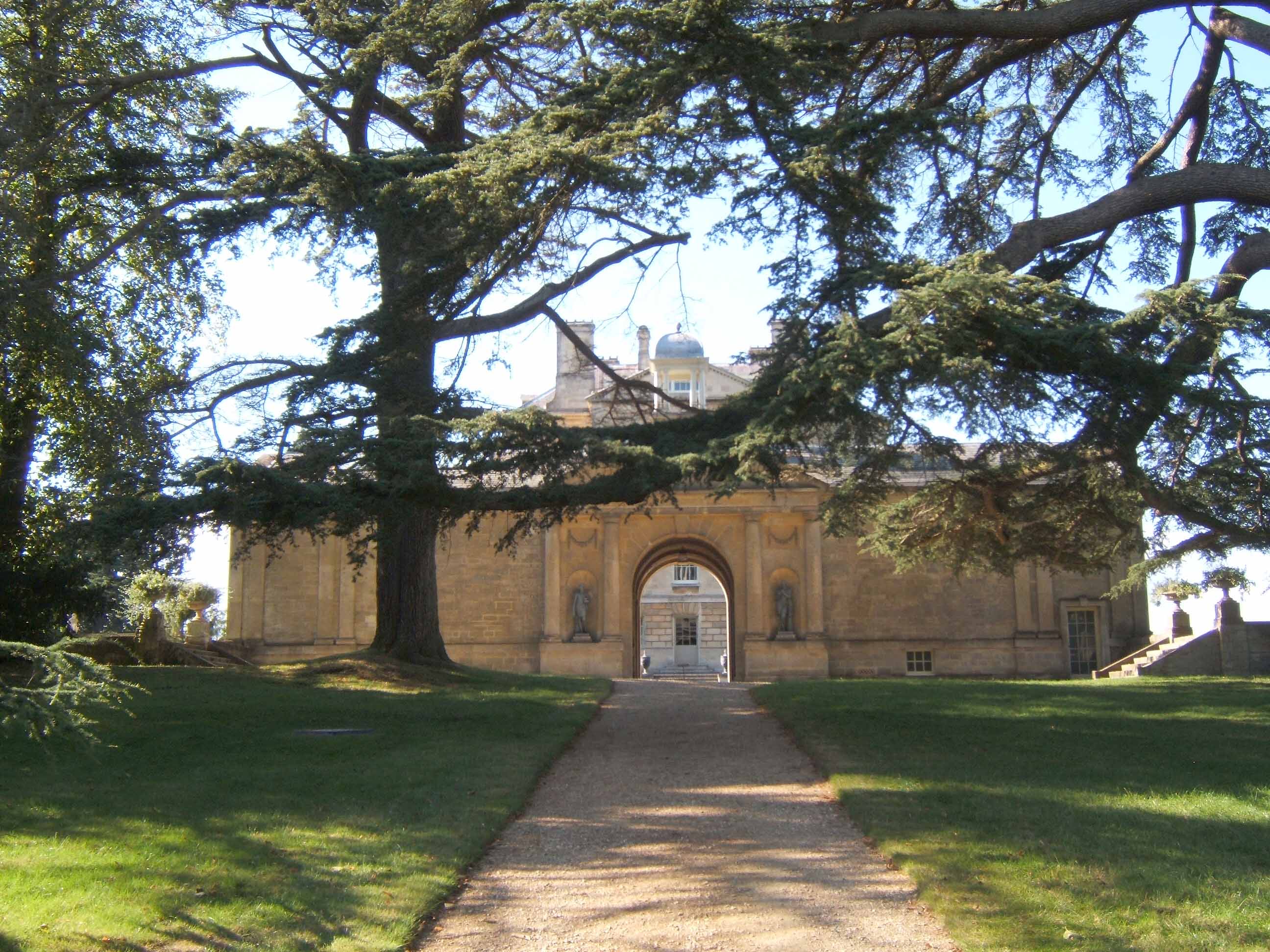
Buscot Park

Buscot Park is a country house at Buscot near the town of Faringdon in Oxfordshire within the historic boundaries of Berkshire. It is a Grade II* listed...
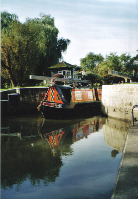
Buscot Lock

Buscot Lock is a lock on the River Thames in England, near the village of Buscot, Oxfordshire. The lock was built of stone by the Thames Navigation Commission...

Bloomers Hole Footbridge

Bloomers Hole Footbridge is a footbridge across the River Thames in Oxfordshire, England. It is situated on the reach above Buscot Lock and was installed...

Eaton Footbridge

Eaton Footbridge is a wooden footbridge across the River Thames in Oxfordshire, England. It is situated on the reach above Grafton Lock. The bridge was...

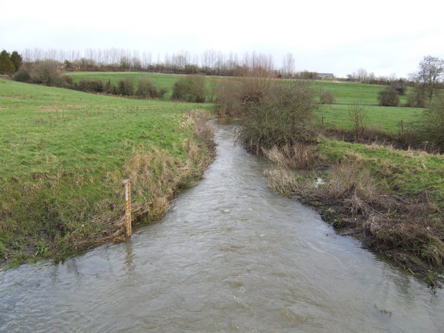
River Cole, Wiltshire

The River Cole is a tributary of the River Thames in England which flows through Wiltshire and Oxfordshire, forming part of the border between the two...

River Leach

The River Leach is a river tributary to the River Thames, in England which runs mostly in Gloucestershire. It is approximately 18 miles (29 km) long, springing...

St John's Bridge, Lechlade

St John's Bridge is a two-section road bridge across the channel of the upper Thames near Lechlade, England, then across the lock cut to the south, the...

Nearby Amenities

Located within 500m of 51.670484,-1.6643747
Power: pole
Source: Bing
Lat/Long: 51.6708951/-1.671166
Power: pole
Source: Bing
Lat/Long: 51.6723091/-1.6709675
Power: pole
Source: Bing
Lat/Long: 51.6716037/-1.671064
Power: pole
Source: Bing
Lat/Long: 51.6695244/-1.6713591
Power: pole
Source: Bing
Lat/Long: 51.6702032/-1.6712679
The data included in this document is from www.openstreetmap.org. The data is made available under ODbL.

Have you been to Bury Hill?

Leave your review of Bury Hill below (or comments, questions and feedback).