Calver Peak
Hill, Mountain in Derbyshire Derbyshire Dales
England
Calver Peak
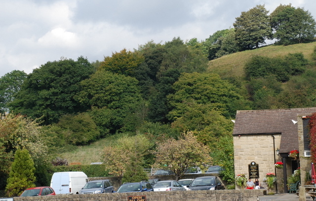
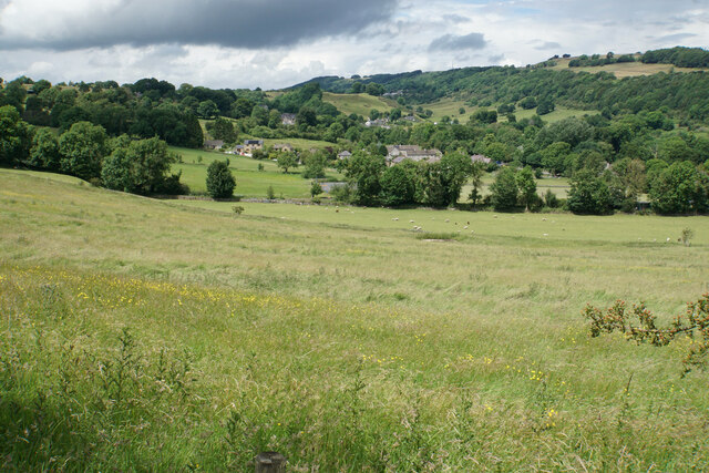
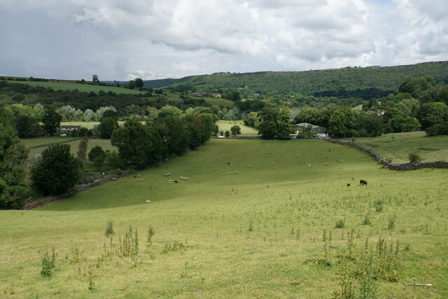
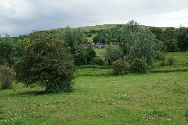
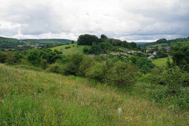
Calver Peak is a prominent hill located in the county of Derbyshire, England. It is situated within the Peak District National Park, a renowned area known for its picturesque landscapes and rugged terrains. Standing at an elevation of approximately 315 meters (1,033 feet), Calver Peak offers captivating panoramic views of the surrounding countryside.
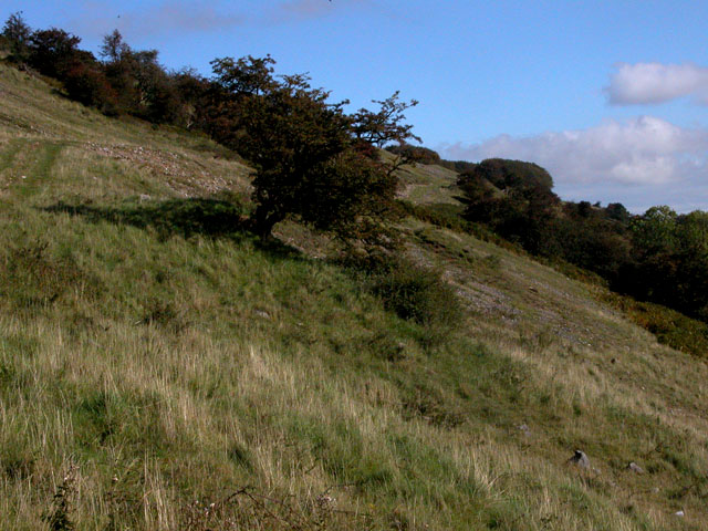
The hill is formed by a mixture of limestone and gritstone, giving it a distinctive appearance. Its slopes are covered in a patchwork of heather, grasses, and scattered shrubs, showcasing the diverse flora of the region. Calver Peak is also home to a variety of wildlife, including rabbits, foxes, and numerous bird species, making it a popular destination for nature enthusiasts and birdwatchers.
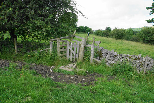
The ascent to the top of Calver Peak is relatively moderate, with well-defined footpaths leading visitors through the hill's wooded areas and open moorland. At the summit, a trig point marks the highest point and offers an ideal spot for visitors to take in the breathtaking views of rolling hills, valleys, and quaint villages below.
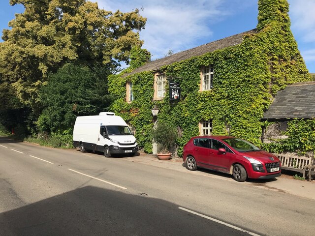
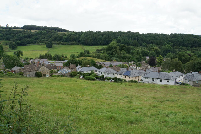
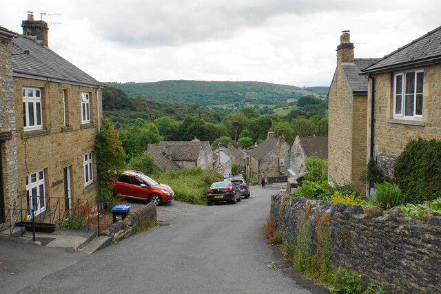
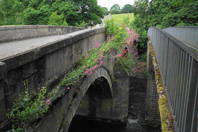
The hill is surrounded by several charming villages, such as Calver, Eyam, and Baslow, which offer amenities and opportunities for exploration and relaxation. Additionally, the nearby River Derwent meanders through the valley, providing a pleasant setting for walks and picnics.
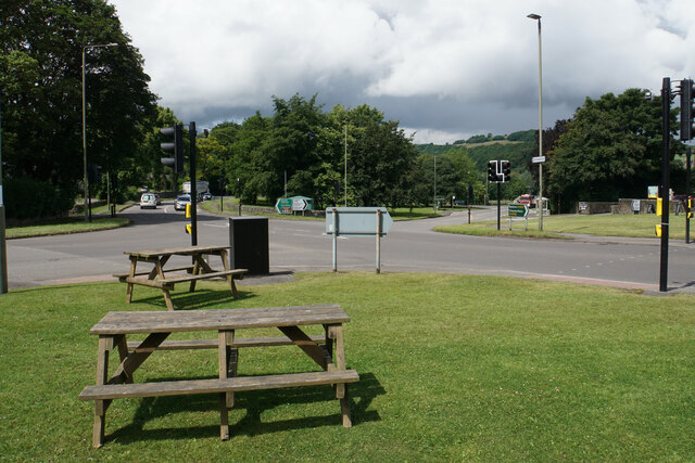
Calver Peak is a popular destination for hikers, dog walkers, and families seeking outdoor adventures. The hill's accessibility, scenic beauty, and rich biodiversity make it a must-visit location for those exploring the natural wonders of Derbyshire's Peak District.
If you have any feedback on the listing, please let us know in the comments section below.
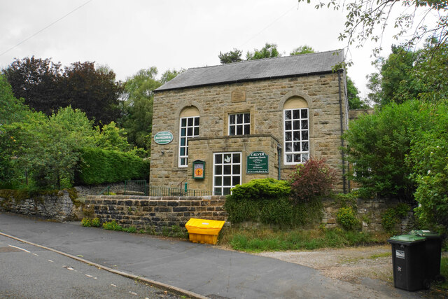
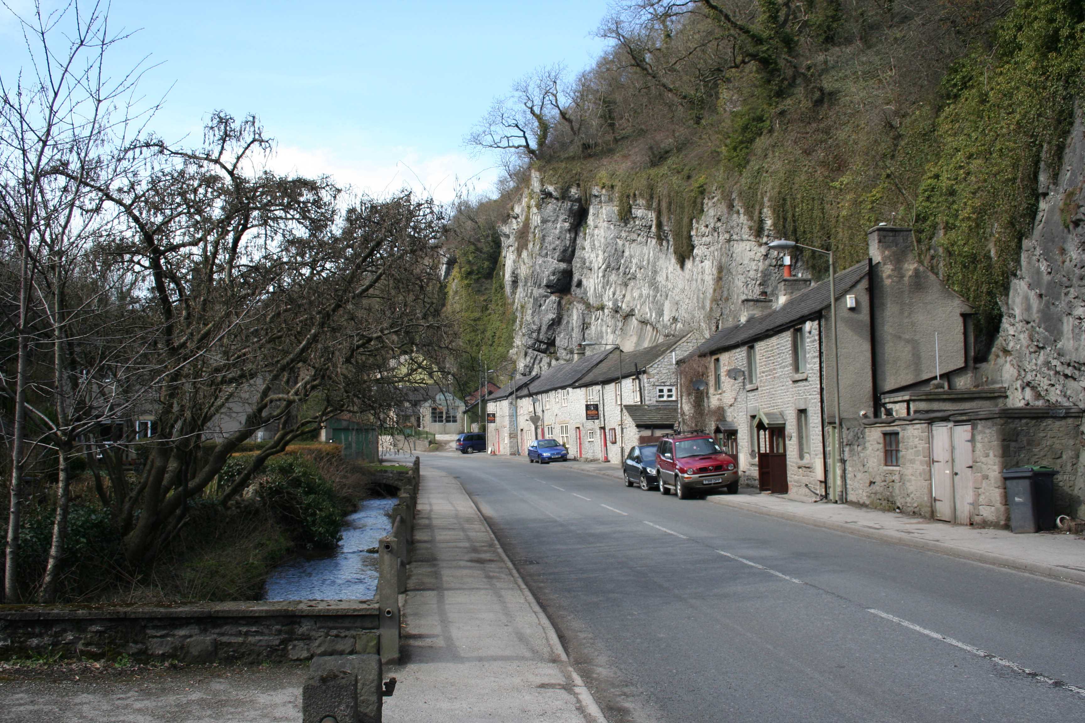
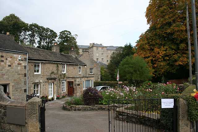
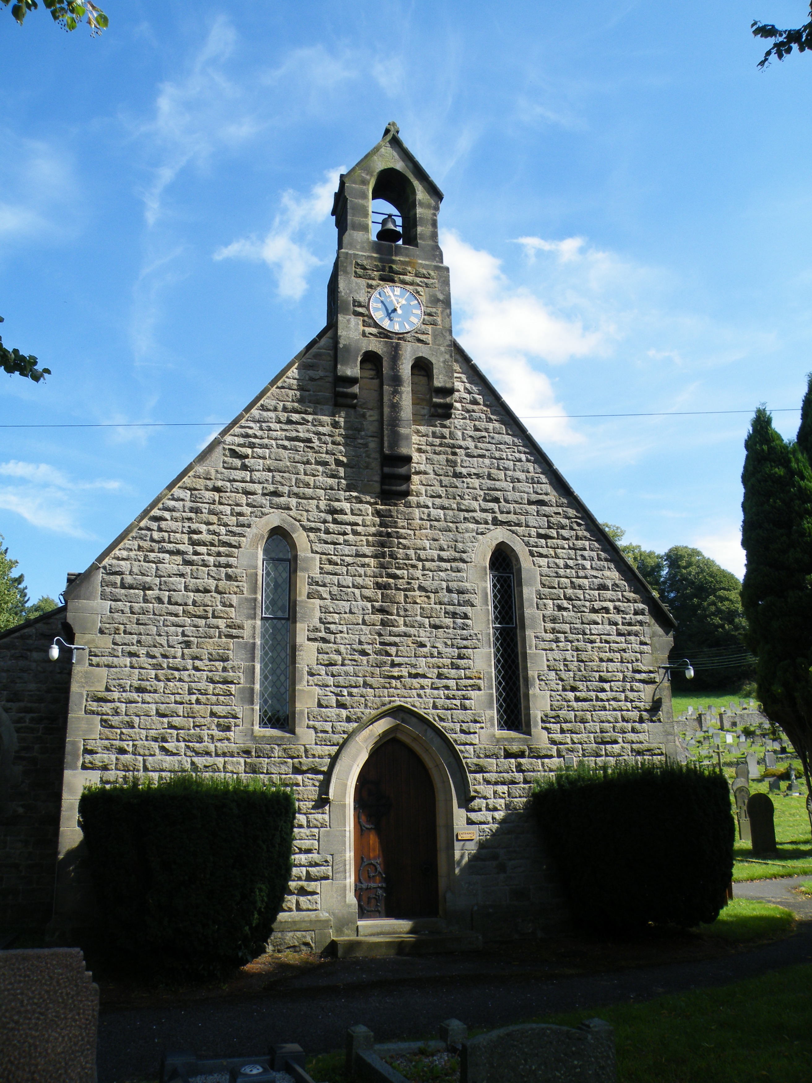
Calver Peak Images
Images are sourced within 2km of 53.265099/-1.6585982 or Grid Reference SK2274. Thanks to Geograph Open Source API. All images are credited.


Calver Peak is located at Grid Ref: SK2274 (Lat: 53.265099, Lng: -1.6585982)
Administrative County: Derbyshire
District: Derbyshire Dales
Police Authority: Derbyshire
What 3 Words
///snug.verse.drags. Near Baslow, Derbyshire
Nearby Locations
Related Wikis

Coombs Dale
Coombs Dale is a steep-sided, dry carboniferous limestone valley in the Derbyshire Peak District of England. The village of Calver lies about 1 km to the...

Middleton Hall, Stoney Middleton
Middleton Hall is a restored 17th-century country house at Stoney Middleton, Derbyshire. It is a Grade II listed building.The house was built in the mid...
Stoney Middleton
Stoney Middleton is a village and civil parish in the Derbyshire Dales district of Derbyshire, England. It is in the White Peak area of the Peak District...

St Martin's Church, Stoney Middleton
St Martin's Church is a Grade II* listed parish church in the Church of England in Stoney Middleton, Derbyshire. == History == The church dates from the...
Calver
Calver (Old English Calf Slope) is a village and civil parish in Derbyshire, England. The population of the civil parish at the 2011 census was 710....

Dale Brook
Dale Brook is a stream in Stoney Middleton in the Derbyshire Peak District. The stream originates in Middleton Dale, where the Jumber Brook south of Eyam...
All Saints' Church, Curbar
All Saints’ Church, Curbar is a Church of England parish church in Curbar, Derbyshire. == History == Until the church was built, the nearest parish church...
Longstone Edge
Longstone Edge is a limestone ridge in the Peak District National Park, in Derbyshire, England. Longstone Edge is immediately north of the village of Great...
Nearby Amenities
Located within 500m of 53.265099,-1.6585982Have you been to Calver Peak?
Leave your review of Calver Peak below (or comments, questions and feedback).