Pasture Hill

Hill, Mountain in Yorkshire Hambleton

England

Pasture Hill

Wensleydale Railway, Level Crossing At Crakehall Station Crakehall railway station was first opened in 1856 by the Bedale and Leyburn Railway which later became part of the London and North Eastern Railway and then the Eastern Region of British Railways on nationalisation in 1948. It was then closed by British Railways in April 1954.

The track still passes through the station site and is now part of the Wensleydale Railway. The crossing is now manually operated by a crossing keeper when the heritage line is operating. The station building remains intact and is used as a private house.
Wensleydale Railway, Level Crossing At Crakehall Station Credit: David Dixon

Pasture Hill is a prominent hill located in the picturesque county of Yorkshire, England. Situated in the northern part of the county, it forms part of the rugged landscape of the Yorkshire Dales National Park. With an elevation of approximately 454 meters (1,490 feet), it is considered one of the notable peaks of the region.

The hill is characterized by its sweeping green pastures and rocky terrain, which are typical of the Yorkshire Dales. It offers breathtaking panoramic views of the surrounding countryside, with rolling hills, deep valleys, and meandering rivers that contribute to its scenic beauty.

Pasture Hill is a popular destination for hikers and nature enthusiasts, who flock to the area to explore its extensive network of walking trails. The hill provides a range of routes suitable for all abilities, from gentle strolls to more challenging hikes for experienced climbers. The trails offer the opportunity to encounter diverse flora and fauna, including wildflowers, grazing sheep, and occasional sightings of birds of prey soaring above.

The hill is also home to several archaeological sites, adding historical significance to its natural charm. These sites include ancient burial mounds and stone circles, which provide a glimpse into the area's rich past and cultural heritage.

Whether it is for outdoor activities, stunning vistas, or a glimpse into history, Pasture Hill in Yorkshire offers a captivating experience for visitors seeking to immerse themselves in the beauty of the English countryside.

If you have any feedback on the listing, please let us know in the comments section below.
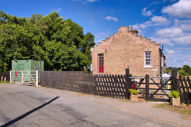
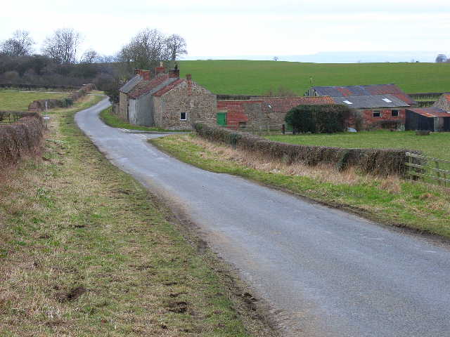
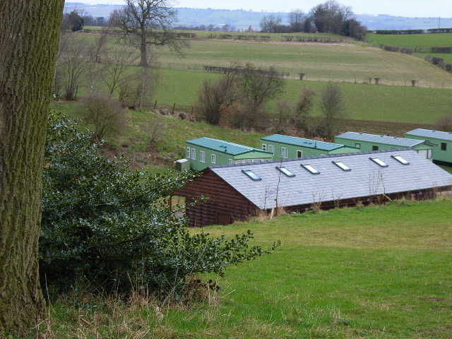
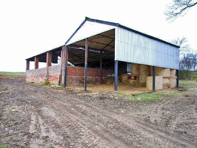
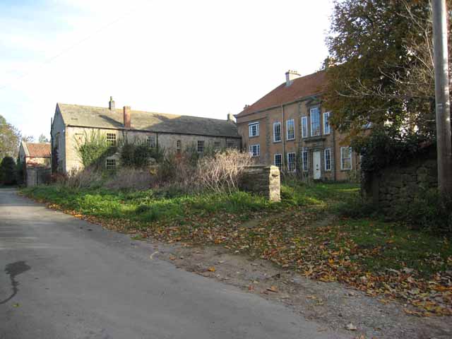
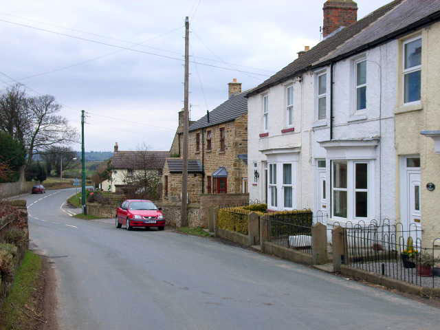
Pasture Hill Images

Images are sourced within 2km of 54.284913/-1.6506727 or Grid Reference SE2287. Thanks to Geograph Open Source API. All images are credited.

Wensleydale Railway, Level Crossing At Crakehall Station Crakehall railway station was first opened in 1856 by the Bedale and Leyburn Railway which later became part of the London and North Eastern Railway and then the Eastern Region of British Railways on nationalisation in 1948. It was then closed by British Railways in April 1954.

The track still passes through the station site and is now part of the Wensleydale Railway. The crossing is now manually operated by a crossing keeper when the heritage line is operating. The station building remains intact and is used as a private house.
Wensleydale Railway, Level Crossing At Crakehall Station
Crakehall railway station was first opened in 1856 by the Bedale and Leyburn Railway which later became part of the London and North Eastern Railway and then the Eastern Region of British Railways on nationalisation in 1948. It was then closed by British Railways in April 1954. The track still passes through the station site and is now part of the Wensleydale Railway. The crossing is now manually operated by a crossing keeper when the heritage line is operating. The station building remains intact and is used as a private house.
The Former Crakehall Railway Station Crakehall railway station was first opened in 1856 by the Bedale and Leyburn Railway which later became part of the London and North Eastern Railway and then the Eastern Region of British Railways on nationalisation in 1948. It was then closed by British Railways in April 1954.

The track still passes through the station site and is now part of the Wensleydale Railway. The crossing is now manually operated by a crossing keeper when the heritage line is operating. The station building remains intact and is used as a private house.
The Former Crakehall Railway Station
Crakehall railway station was first opened in 1856 by the Bedale and Leyburn Railway which later became part of the London and North Eastern Railway and then the Eastern Region of British Railways on nationalisation in 1948. It was then closed by British Railways in April 1954. The track still passes through the station site and is now part of the Wensleydale Railway. The crossing is now manually operated by a crossing keeper when the heritage line is operating. The station building remains intact and is used as a private house.
Crakekall Station House Crakehall railway station was first opened in 1856 by the Bedale and Leyburn Railway which later became part of the London and North Eastern Railway and then the Eastern Region of British Railways on nationalisation in 1948. It was then closed by British Railways in April 1954.

The track still passes through the station site and is now part of the Wensleydale Railway.  The crossing is now manually operated by a crossing keeper when the heritage line is operating. The station building remains intact and is used as a private house.
Crakekall Station House
Crakehall railway station was first opened in 1856 by the Bedale and Leyburn Railway which later became part of the London and North Eastern Railway and then the Eastern Region of British Railways on nationalisation in 1948. It was then closed by British Railways in April 1954. The track still passes through the station site and is now part of the Wensleydale Railway. The crossing is now manually operated by a crossing keeper when the heritage line is operating. The station building remains intact and is used as a private house.
Cowling, near Burrill, gatepost This is the inside face of a left hand gatepost, opposite Cowling Plantation. It is on the west side of Cowling Lane.
Cowling, near Burrill, gatepost
This is the inside face of a left hand gatepost, opposite Cowling Plantation. It is on the west side of Cowling Lane.
Cowling, near Burrill, field entrance On the inside face of the left hand gatepost of this field entrance, there is a benchmark cut. This gate is opposite Cowling Plantation, and on the west side of Cowling Lane.
Cowling, near Burrill, field entrance
On the inside face of the left hand gatepost of this field entrance, there is a benchmark cut. This gate is opposite Cowling Plantation, and on the west side of Cowling Lane.
Cowling, near Burrill This stone wall and metal gatepost is on the east side of the road which runs through the hamlet, Cowling. It is the left hand side of the farmyard entrance. Behind the metal gatepost is a benchmark cut into the corner stone of this farm building.
Cowling, near Burrill
This stone wall and metal gatepost is on the east side of the road which runs through the hamlet, Cowling. It is the left hand side of the farmyard entrance. Behind the metal gatepost is a benchmark cut into the corner stone of this farm building.
Cowling, near Burrill, farm entrance A wider angle showing the farm yard entrance on the east side of the road which runs through the hamlet, Cowling. Behind the metal gatepost is a benchmark cut into the corner stone of the farm building in the front of this photo.
Cowling, near Burrill, farm entrance
A wider angle showing the farm yard entrance on the east side of the road which runs through the hamlet, Cowling. Behind the metal gatepost is a benchmark cut into the corner stone of the farm building in the front of this photo.
Burrill Mission church This is the west facing wall of the Mission church in Burrill. Cut into the 7th and 8th brick courses is a benchmark.
Burrill Mission church
This is the west facing wall of the Mission church in Burrill. Cut into the 7th and 8th brick courses is a benchmark.
Burrill Mission church A wider angle of the church with the bell tower at the east end of the church. On the west facing wall of the Mission church, cut into the 7th and 8th brick courses is a benchmark.
Burrill Mission church
A wider angle of the church with the bell tower at the east end of the church. On the west facing wall of the Mission church, cut into the 7th and 8th brick courses is a benchmark.
Farm Access Track, Newton Grange Farm The track from Sinks Lane to Newton Grange Farm crosses the Wensleydale Railway.
Farm Access Track, Newton Grange Farm
The track from Sinks Lane to Newton Grange Farm crosses the Wensleydale Railway.
Farm Access Track (Fox Park Farm) Looking towards Sinks Lane from the level crossing.
Farm Access Track (Fox Park Farm)
Looking towards Sinks Lane from the level crossing.
Sheep in field on north side of Burrill Road Bedale Wood Farm on the horizon
Sheep in field on north side of Burrill Road
Bedale Wood Farm on the horizon
Ungated entrance to stubble field from NW side of Burrill Road
Gateway into stubble field from NW side of Burrill Road
Roadworks at T-junction in Burrill
Stubbing Nook, near Newton-le-Willows
Lindale Holiday Park, near Newton-le-Willows Pleasant countryside, but an awful long way from what are usually thought of as holiday attractions
Lindale Holiday Park, near Newton-le-Willows
Pleasant countryside, but an awful long way from what are usually thought of as holiday attractions
Barn near Newton-le-Willows
Show me another place!

Pasture Hill is located at Grid Ref: SE2287 (Lat: 54.284913, Lng: -1.6506727)

Division: North Riding

Administrative County: North Yorkshire

District: Hambleton

Police Authority: North Yorkshire

What 3 Words

///outlawing.moats.huddling. Near Bedale, North Yorkshire

Related Wikis

Cowling, Hambleton

Cowling is a small village in the Hambleton District of North Yorkshire, England. It is in the parish of Burrill with Cowling and 1 mile west of Bedale...

Burrill

Burrill is a small village in near to Bedale in North Yorkshire, England. It is in the parish of Burrill with Cowling and 1 mile (1.6 km) west of Bedale...

Burrill with Cowling

Burrill with Cowling is a civil parish in the Hambleton District of North Yorkshire, England, including the villages of Burrill and Cowling. It is only...

Crakehall railway station

Crakehall railway station was a railway station that served the village of Crakehall, North Yorkshire, England. == History == Opened by the Bedale and...

Thornton Watlass Hall

Thornton Watlass Hall is a large Grade I listed Georgian country house in Thornton Watlass, North Yorkshire, England, some 3 miles (5 km) north of Masham...

Thirn

Thirn is a village and civil parish in North Yorkshire, England. It is situated close to the River Ure, about 3 miles (5 km) south-west of Bedale.The hamlet...

Newton-le-Willows, North Yorkshire

Newton-le-Willows is a village and civil parish in the Richmondshire district of North Yorkshire, England, 3 miles (4.8 km) west of Bedale. Historically...

Jervaulx railway station

Jervaulx railway station was a railway station in Newton-le-Willows, North Yorkshire, England. Originally named after this place, it was renamed after...

Related Videos

Summer Highlights 2019.

Matsons on the Move. A summary of caravan sites we visited, highlights and a few DIY projects and tips around the caravan.

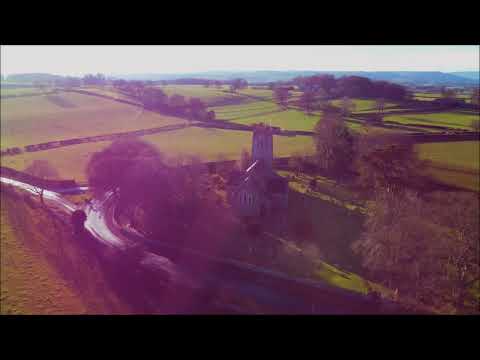
Thornton Watlass Church Yorkshire - Drone View

Thornton Watlass is a small village and civil parish within the Hambleton district of North Yorkshire, England. It is located north of ...

Have you been to Pasture Hill?

Leave your review of Pasture Hill below (or comments, questions and feedback).