Leech Pond

Lake, Pool, Pond, Freshwater Marsh in Yorkshire Hambleton

England

Leech Pond

Cowling, near Burrill, gatepost This is the inside face of a left hand gatepost, opposite Cowling Plantation. It is on the west side of Cowling Lane.
Cowling, near Burrill, gatepost Credit: Mel Towler

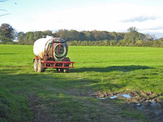
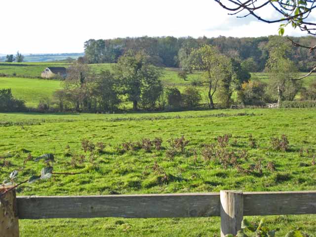
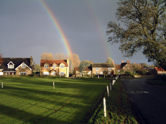
Leech Pond, located in Yorkshire, is a picturesque freshwater pond encompassed by a richly diverse ecosystem. With an area of approximately 2 acres, it is considered a relatively small body of water. The pond is nestled within a tranquil setting, surrounded by lush greenery and native vegetation.

The water in Leech Pond is crystal clear and teeming with a variety of aquatic life. It provides a habitat for numerous species of fish, including perch, roach, and rudd, which thrive in its nutrient-rich waters. The pond also attracts various waterfowl, such as ducks and geese, which can often be seen gracefully gliding across its surface.

Surrounding the pond is a vibrant freshwater marsh, adding to the overall beauty and ecological significance of the area. This marshland is characterized by its wet and marshy conditions, supporting an abundance of vegetation such as reeds, sedges, and rushes. It serves as a vital habitat for many species of birds, insects, and amphibians, contributing to the overall biodiversity of the region.

Leech Pond also offers recreational opportunities for visitors. Nature enthusiasts can partake in activities like birdwatching, fishing, and peaceful walks along its scenic shores. The tranquil ambiance and beautiful surroundings make it an ideal spot for relaxation and contemplation.

In conclusion, Leech Pond in Yorkshire is a small yet captivating freshwater pond encompassed by a diverse ecosystem. Its clear waters, teeming with fish, and the surrounding freshwater marsh make it a unique and valuable natural asset in the region. Additionally, its recreational offerings and picturesque setting make it an attractive destination for nature lovers and those seeking a peaceful retreat.

If you have any feedback on the listing, please let us know in the comments section below.
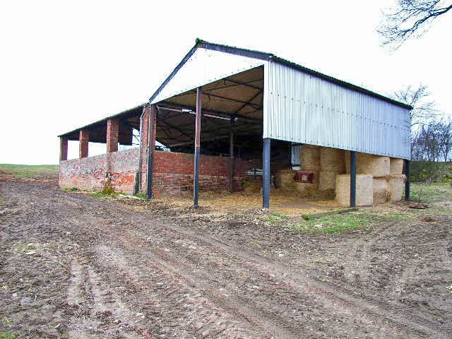
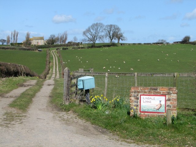
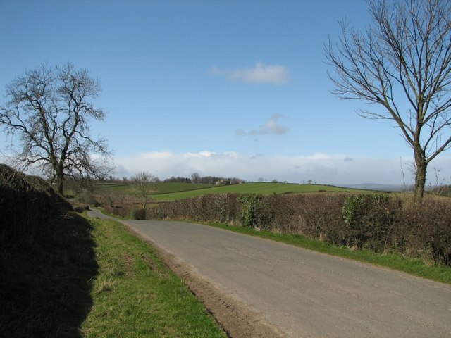
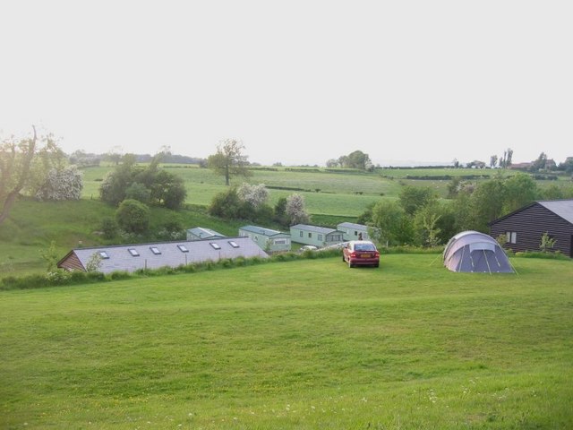
Leech Pond Images

Images are sourced within 2km of 54.279805/-1.6586869 or Grid Reference SE2287. Thanks to Geograph Open Source API. All images are credited.

Cowling, near Burrill, gatepost This is the inside face of a left hand gatepost, opposite Cowling Plantation. It is on the west side of Cowling Lane.
Cowling, near Burrill, gatepost
This is the inside face of a left hand gatepost, opposite Cowling Plantation. It is on the west side of Cowling Lane.
Cowling, near Burrill, field entrance On the inside face of the left hand gatepost of this field entrance, there is a benchmark cut. This gate is opposite Cowling Plantation, and on the west side of Cowling Lane.
Cowling, near Burrill, field entrance
On the inside face of the left hand gatepost of this field entrance, there is a benchmark cut. This gate is opposite Cowling Plantation, and on the west side of Cowling Lane.
Cowling, near Burrill This stone wall and metal gatepost is on the east side of the road which runs through the hamlet, Cowling. It is the left hand side of the farmyard entrance. Behind the metal gatepost is a benchmark cut into the corner stone of this farm building.
Cowling, near Burrill
This stone wall and metal gatepost is on the east side of the road which runs through the hamlet, Cowling. It is the left hand side of the farmyard entrance. Behind the metal gatepost is a benchmark cut into the corner stone of this farm building.
Cowling, near Burrill, farm entrance A wider angle showing the farm yard entrance on the east side of the road which runs through the hamlet, Cowling. Behind the metal gatepost is a benchmark cut into the corner stone of the farm building in the front of this photo.
Cowling, near Burrill, farm entrance
A wider angle showing the farm yard entrance on the east side of the road which runs through the hamlet, Cowling. Behind the metal gatepost is a benchmark cut into the corner stone of the farm building in the front of this photo.
Burrill Mission church This is the west facing wall of the Mission church in Burrill. Cut into the 7th and 8th brick courses is a benchmark.
Burrill Mission church
This is the west facing wall of the Mission church in Burrill. Cut into the 7th and 8th brick courses is a benchmark.
Burrill Mission church A wider angle of the church with the bell tower at the east end of the church. On the west facing wall of the Mission church, cut into the 7th and 8th brick courses is a benchmark.
Burrill Mission church
A wider angle of the church with the bell tower at the east end of the church. On the west facing wall of the Mission church, cut into the 7th and 8th brick courses is a benchmark.
Roadworks at T-junction in Burrill
View from the road to Thirn
Sand Hill Farm near Newton-le-Willows
Stubbing Nook, near Newton-le-Willows
Lindale Holiday Park, near Newton-le-Willows Pleasant countryside, but an awful long way from what are usually thought of as holiday attractions
Lindale Holiday Park, near Newton-le-Willows
Pleasant countryside, but an awful long way from what are usually thought of as holiday attractions
Barn near Newton-le-Willows
Lindale Lodge This is the farm that I would suggest has set up the caravan park <a href="https://www.geograph.org.uk/photo/139394">SE2188 : Lindale Holiday Park, near Newton-le-Willows</a>
Lindale Lodge
This is the farm that I would suggest has set up the caravan park SE2188 : Lindale Holiday Park, near Newton-le-Willows
Looking across the top edge of the square It is very difficult because of the high hedges to get a better view of what's in the square apart from the road...
Looking across the top edge of the square
It is very difficult because of the high hedges to get a better view of what's in the square apart from the road...
Lindale Holiday Park View north from the camping area with static caravans and the amenities block beyond.
Lindale Holiday Park
View north from the camping area with static caravans and the amenities block beyond.
Paddock at Thirn village
Slurry tanker near Thirn
Fields and woodland near Thirn
Show me another place!

Leech Pond is located at Grid Ref: SE2287 (Lat: 54.279805, Lng: -1.6586869)

Division: North Riding

Administrative County: North Yorkshire

District: Hambleton

Police Authority: North Yorkshire

What 3 Words

///tells.timed.shining. Near Bedale, North Yorkshire

Related Wikis

Cowling, Hambleton

Cowling is a small village in the Hambleton District of North Yorkshire, England. It is in the parish of Burrill with Cowling and 1 mile west of Bedale...

Thirn

Thirn is a village and civil parish in North Yorkshire, England. It is situated close to the River Ure, about 3 miles (5 km) south-west of Bedale.The hamlet...

Thornton Watlass Hall

Thornton Watlass Hall is a large Grade I listed Georgian country house in Thornton Watlass, North Yorkshire, England, some 3 miles (5 km) north of Masham...

Burrill

Burrill is a small village in near to Bedale in North Yorkshire, England. It is in the parish of Burrill with Cowling and 1 mile (1.6 km) west of Bedale...

Burrill with Cowling

Burrill with Cowling is a civil parish in the Hambleton District of North Yorkshire, England, including the villages of Burrill and Cowling. It is only...

Rookwith

Rookwith is a hamlet and civil parish in the Hambleton district of North Yorkshire, England, about 4 miles (6.4 km) west of Bedale and near the flow of...

Thornton Watlass

Thornton Watlass is a small village and civil parish in North Yorkshire, England. It is located north of Masham and south of Bedale on the eastern slopes...

Aysgarth School

Aysgarth School is an independent day and boarding preparatory school near to the village of Newton-le-Willows, North Yorkshire, England. As the name suggests...

Nearby Amenities

Located within 500m of 54.279805,-1.6586869
Power: pole
Lat/Long: 54.2818041/-1.6582759
Power: pole
Lat/Long: 54.2817588/-1.6569437
Power: pole
Lat/Long: 54.2817095/-1.6537797
Power: pole
Lat/Long: 54.2816948/-1.6522125
Power: pole
Lat/Long: 54.2822981/-1.6597587
Power: pole
Lat/Long: 54.282683/-1.6608468
Power: pole
Lat/Long: 54.2830199/-1.6619076
Power: pole
Lat/Long: 54.282952/-1.6638876
The data included in this document is from www.openstreetmap.org. The data is made available under ODbL.

Have you been to Leech Pond?

Leave your review of Leech Pond below (or comments, questions and feedback).