Westcote Hill
Hill, Mountain in Gloucestershire Cotswold
England
Westcote Hill
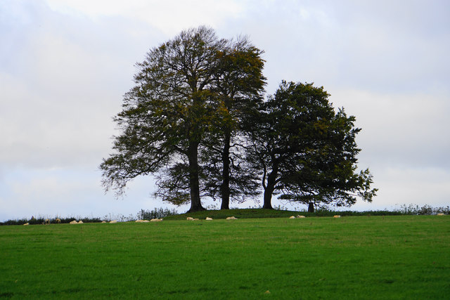
Westcote Hill is a prominent hill located in the county of Gloucestershire, England. It is situated near the village of Westcote, within the picturesque Cotswolds region. Rising to an elevation of approximately 244 meters (800 feet), Westcote Hill offers stunning panoramic views of the surrounding countryside.
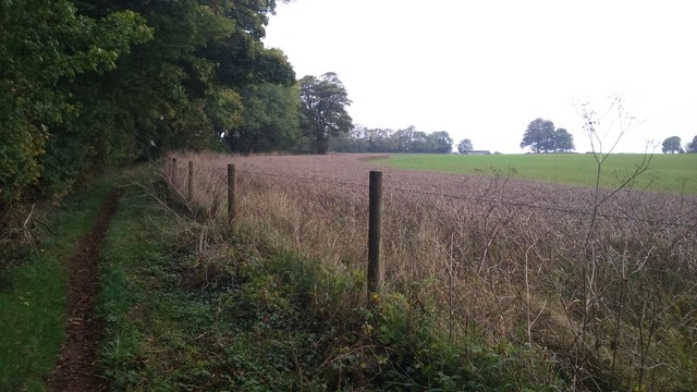
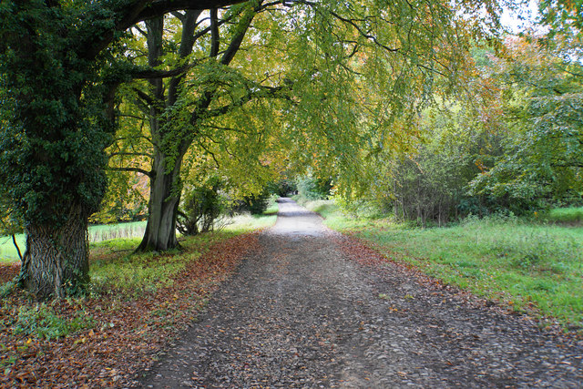
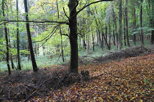
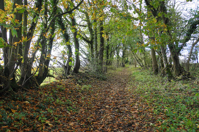
The hill itself is characterized by its gently sloping sides, which are covered in lush green grass and scattered with occasional patches of woodland. The terrain is mostly rocky, with some exposed limestone outcrops providing an interesting geological feature.
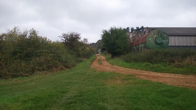
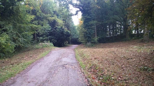
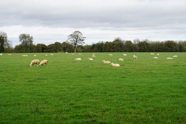
Westcote Hill is a popular destination for hikers and nature enthusiasts, as it offers various footpaths and trails that wind their way through the area. Visitors can explore the hill and its surroundings, taking in the breathtaking vistas and enjoying the tranquility of the countryside.
Flora and fauna are abundant on Westcote Hill, with a diverse range of plant species such as heather, gorse, and wildflowers dotting the landscape. Wildlife can also be spotted, including various species of birds, small mammals, and butterflies.
One notable feature of Westcote Hill is its historical significance. The hill has been inhabited for centuries, with evidence of Iron Age settlements and Roman remains found in the vicinity. It is believed that the hill was strategically important during ancient times, offering a vantage point for observation and defense.
In summary, Westcote Hill in Gloucestershire is a scenic and historically significant hill in the Cotswolds region. With its stunning views, varied terrain, and rich biodiversity, it is a must-visit destination for nature lovers and history enthusiasts alike.
If you have any feedback on the listing, please let us know in the comments section below.
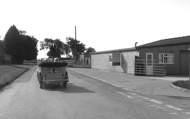
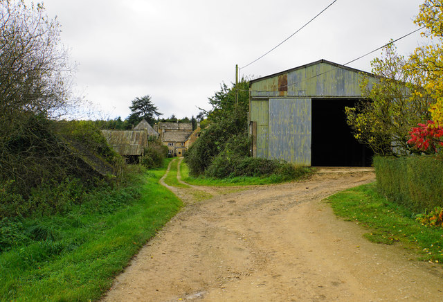
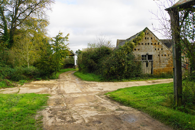
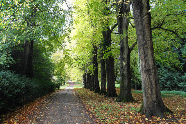
Westcote Hill Images
Images are sourced within 2km of 51.876731/-1.6840218 or Grid Reference SP2119. Thanks to Geograph Open Source API. All images are credited.


Westcote Hill is located at Grid Ref: SP2119 (Lat: 51.876731, Lng: -1.6840218)
Administrative County: Gloucestershire
District: Cotswold
Police Authority: Gloucestershire
What 3 Words
///hound.butchers.steady. Near Bourton on the Water, Gloucestershire
Nearby Locations
Related Wikis
Westcote, Gloucestershire
Westcote is a civil parish in the Cotswold district, in the county of Gloucestershire, England. The village is about 4 miles (6 km) south-southeast of...

Upper Rissington
Upper Rissington is a village and civil parish in the Cotswold district of Gloucestershire, England. It is located about two-and-a-half miles east of Bourton...

RAF Little Rissington
Royal Air Force Little Rissington or more simply RAF Little Rissington (ICAO: EGVL) is an Royal Air Force satellite station in Gloucestershire, England...
Idbury
Idbury is a village and civil parish in the Cotswold Hills in Oxfordshire, about 4+1⁄2 miles (7 km) southeast of Stow-on-the-Wold in neighbouring Gloucestershire...

Fifield, Oxfordshire
Fifield is a village and civil parish about 4 miles (6.4 km) north of Burford in Oxfordshire. The western boundary of the parish forms part of the county...

Icomb Place
Icomb Place (pronounced "Ickum") is a medieval manor house on the edge of the village of Icomb, near Stow on the Wold in Gloucestershire. The word "place...

Bould
Bould is a hamlet in Idbury civil parish, Oxfordshire, about 4.5 miles (7.2 km) southeast of Stow-on-the-Wold in neighbouring Gloucestershire. == External... ==

Icomb
Icomb is a village in the Gloucestershire Cotswolds, near to Stow on the Wold. The population taken at the 2011 census was 202.The village appears as Iacumbe...
Nearby Amenities
Located within 500m of 51.876731,-1.6840218Have you been to Westcote Hill?
Leave your review of Westcote Hill below (or comments, questions and feedback).