Peak's Coppice
Wood, Forest in Gloucestershire Cotswold
England
Peak's Coppice
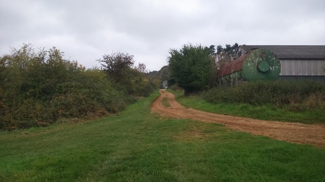
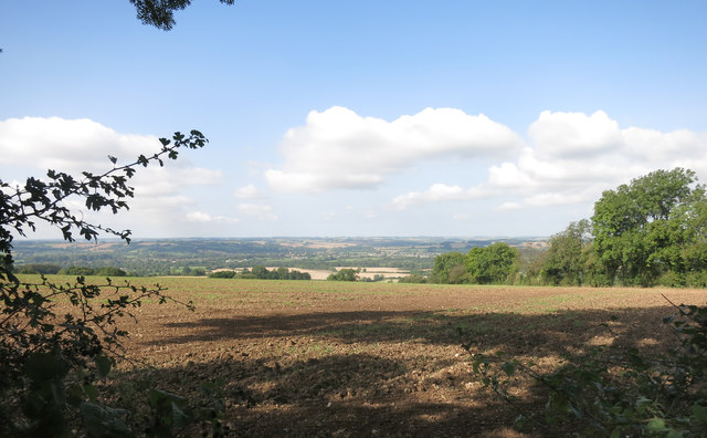
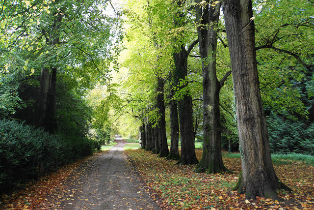
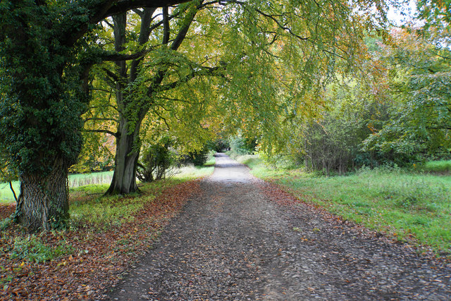
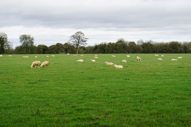
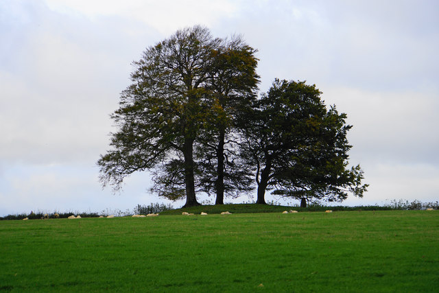
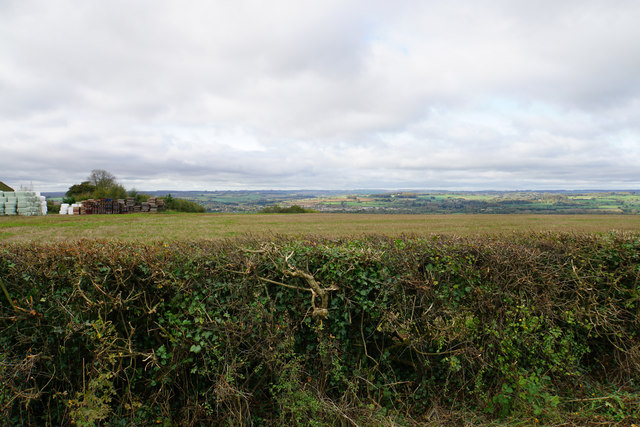
Peak's Coppice is a picturesque wood located in Gloucestershire, England. Covering an area of approximately 50 acres, the forest is nestled amidst the rolling hills of the Cotswolds, offering visitors a serene and tranquil escape from the bustling city life.
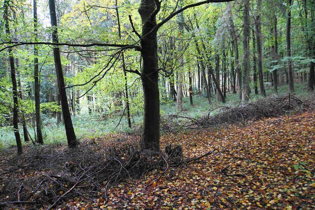
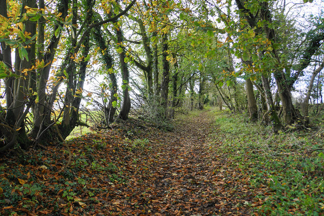
The woodland is primarily composed of native broadleaf trees, including oak, beech, ash, and birch, which create a rich and diverse ecosystem. The dense canopy formed by these trees provides shade and shelter for a variety of wildlife, such as deer, foxes, badgers, and a plethora of bird species.
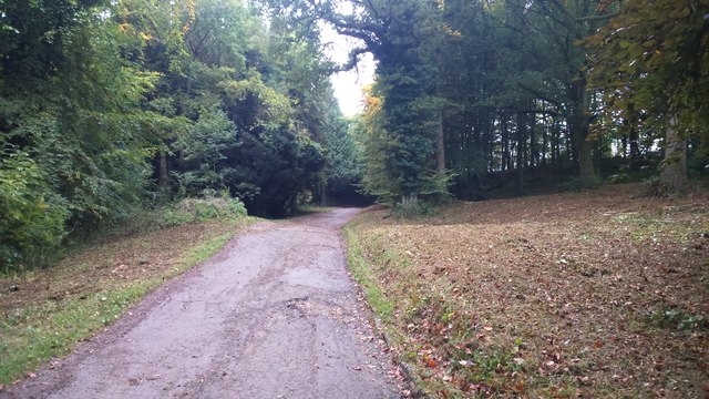
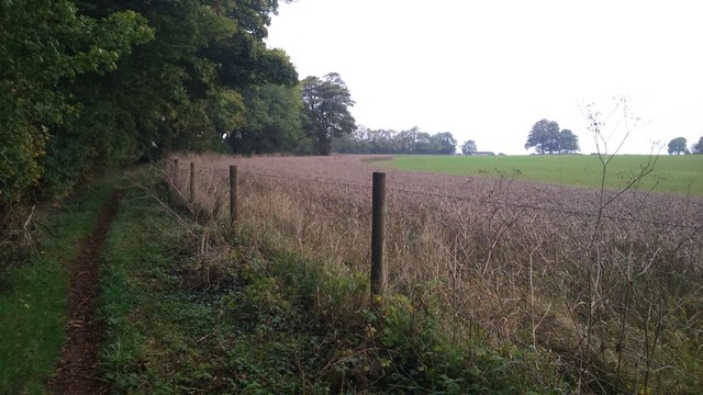
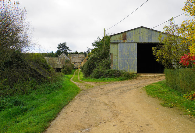
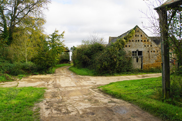
Walking through Peak's Coppice, one can find a network of well-maintained footpaths that wind their way through the forest. These paths offer visitors the opportunity to explore the woodlands and appreciate its natural beauty up close. The forest floor is adorned with a vibrant carpet of wildflowers during the spring and summer months, adding a splash of color to the green surroundings.
The wood is also home to a small pond, where visitors can observe ducks and other waterfowl paddling peacefully. This water source attracts a range of amphibian and insect species, further enriching the biodiversity of the area.
Peak's Coppice is a popular destination for nature lovers, hikers, and birdwatchers, who can indulge in the beauty of the woodland and its surrounding countryside. The site is well-maintained and managed by local authorities to ensure its preservation for future generations to enjoy.
If you have any feedback on the listing, please let us know in the comments section below.
Peak's Coppice Images
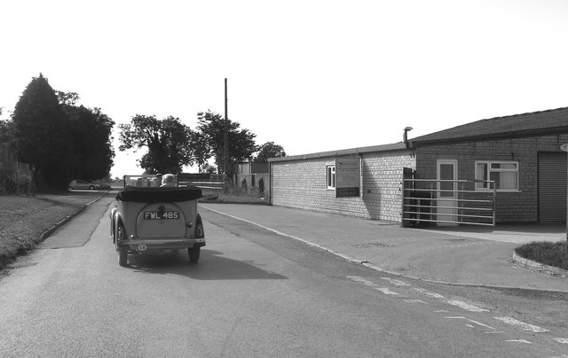
Images are sourced within 2km of 51.875218/-1.6899735 or Grid Reference SP2119. Thanks to Geograph Open Source API. All images are credited.


Peak's Coppice is located at Grid Ref: SP2119 (Lat: 51.875218, Lng: -1.6899735)
Administrative County: Gloucestershire
District: Cotswold
Police Authority: Gloucestershire
What 3 Words
///fines.physics.syndicate. Near Bourton on the Water, Gloucestershire
Nearby Locations
Related Wikis
Westcote, Gloucestershire
Westcote is a civil parish in the Cotswold district, in the county of Gloucestershire, England. The village is about 4 miles (6 km) south-southeast of...

Upper Rissington
Upper Rissington is a village and civil parish in the Cotswold district of Gloucestershire, England. It is located about two-and-a-half miles east of Bourton...

RAF Little Rissington
Royal Air Force Little Rissington or more simply RAF Little Rissington (ICAO: EGVL) is an Royal Air Force satellite station in Gloucestershire, England...
Idbury
Idbury is a village and civil parish in the Cotswold Hills in Oxfordshire, about 4+1⁄2 miles (7 km) southeast of Stow-on-the-Wold in neighbouring Gloucestershire...

Fifield, Oxfordshire
Fifield is a village and civil parish about 4 miles (6.4 km) north of Burford in Oxfordshire. The western boundary of the parish forms part of the county...

Little Rissington
Little Rissington is a village and civil parish about 3+1⁄2 miles (6 km) south of Stow-on-the-Wold in the Cotswold District of Gloucestershire, England...

Icomb Place
Icomb Place (pronounced "Ickum") is a medieval manor house on the edge of the village of Icomb, near Stow on the Wold in Gloucestershire. The word "place...

Icomb
Icomb is a village in the Gloucestershire Cotswolds, near to Stow on the Wold. The population taken at the 2011 census was 202.The village appears as Iacumbe...
Have you been to Peak's Coppice?
Leave your review of Peak's Coppice below (or comments, questions and feedback).