Broom Hill

Hill, Mountain in Durham

England

Broom Hill

Inscription on Burnhope War Memorial Primitive Methodist Church in background
Inscription on Burnhope War Memorial Credit: Vivienne Smith

Broom Hill is a small hill located in Durham, England. Situated in the northern part of the city, it stands at an elevation of approximately 200 meters (656 feet) above sea level. Despite its modest height, Broom Hill offers stunning panoramic views of the surrounding countryside and is a popular spot for outdoor enthusiasts and nature lovers.

The hill, which is part of the wider Durham countryside, is covered in lush green vegetation and is known for its diverse wildlife. It is home to a variety of plant species, including heather, gorse, and bracken, which add to its natural beauty. Broom Hill is also home to numerous species of birds, making it a haven for birdwatchers and ornithologists.

The hill is easily accessible, with well-marked footpaths leading to its summit. Visitors can enjoy a leisurely walk up the hill, taking in the breathtaking scenery along the way. At the top, there is a flat, grassy area where people can relax and have a picnic while admiring the stunning views of the surrounding countryside, including the nearby River Wear.

Broom Hill is a peaceful and tranquil place, offering a welcome escape from the hustle and bustle of city life. It is a popular destination for locals and tourists alike who seek a quiet retreat in nature. Whether it's for a leisurely stroll, a hike, or simply to enjoy the beauty of the Durham countryside, Broom Hill is a must-visit location for nature enthusiasts.

If you have any feedback on the listing, please let us know in the comments section below.
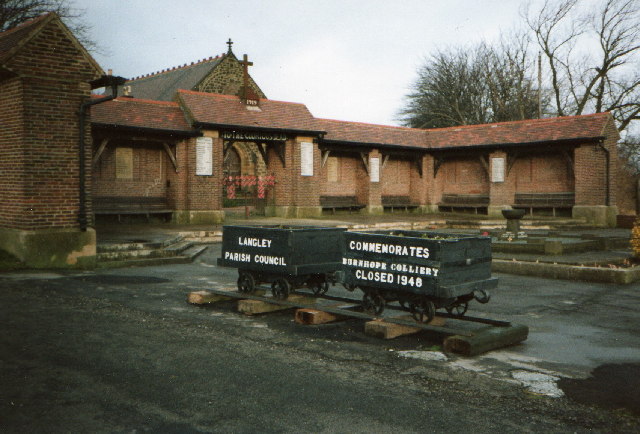
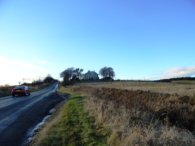
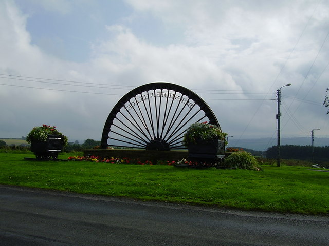
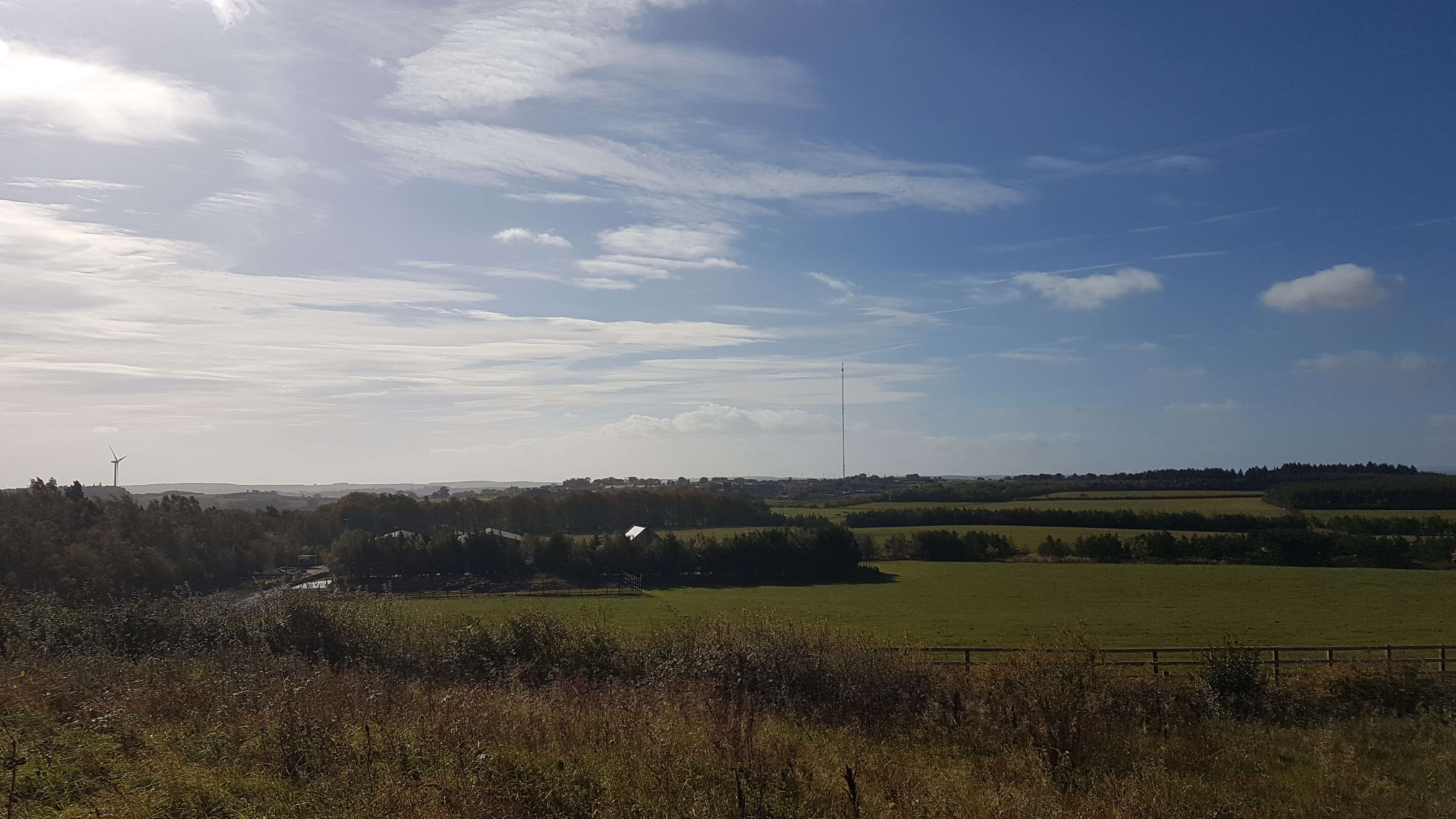
Broom Hill Images

Images are sourced within 2km of 54.825622/-1.6714887 or Grid Reference NZ2147. Thanks to Geograph Open Source API. All images are credited.

Inscription on Burnhope War Memorial Primitive Methodist Church in background
Inscription on Burnhope War Memorial
Primitive Methodist Church in background
Burnhope War Memorial
Burnhope War Memorial in 1992 The coal tubs commemorating Burnhope Colliery are no longer a feature on the war memorial site in 2006
Burnhope War Memorial in 1992
The coal tubs commemorating Burnhope Colliery are no longer a feature on the war memorial site in 2006
Standagainstall Plantation, Long Edge
OS Cut Mark - Burnhope, St John's Church <span class="nowrap"><a title="https://www.bench-marks.org.uk/bm99706" rel="nofollow ugc noopener" href="https://www.bench-marks.org.uk/bm99706">Link</a><img style="margin-left:2px;" alt="External link" title="External link - shift click to open in new window" src="https://s1.geograph.org.uk/img/external.png" width="10" height="10"/></span>
OS Cut Mark - Burnhope, St John's Church
Location of OS Cut Mark Burnhope, St John's Church
Burnhope, St John's Church
St John's Church, Burnhope At the extreme east end of the village. Burnhope was categorised as a "category D village" by Durham County Council. With the decline of coal-mining locally, 114 villages were classified in this way in 1951, and another seven in 1964. They were left to wither and die, without economic assistance or development. The policy ended in 1977, but many still have an old fashioned air, contrasting with newer areas of commuter housing.
St John's Church, Burnhope
At the extreme east end of the village. Burnhope was categorised as a "category D village" by Durham County Council. With the decline of coal-mining locally, 114 villages were classified in this way in 1951, and another seven in 1964. They were left to wither and die, without economic assistance or development. The policy ended in 1977, but many still have an old fashioned air, contrasting with newer areas of commuter housing.
Bridleway sign on footpath, by Holmside Lane This is the footpath running south, the bridleway is on the other side of the wire fence.
Bridleway sign on footpath, by Holmside Lane
This is the footpath running south, the bridleway is on the other side of the wire fence.
Muddy bridleway, south of Holmside Lane Seen from the parallel footpath.
Muddy bridleway, south of Holmside Lane
Seen from the parallel footpath.
Footpath to Fellside Plantation Heading south from Holmside Lane.
Footpath to Fellside Plantation
Heading south from Holmside Lane.
Entrance to Burnhope On Holmside Lane.
Entrance to Burnhope
On Holmside Lane.
Footpath to Green Lane On the north side of Holmside Lane.
Footpath to Green Lane
On the north side of Holmside Lane.
Footpath gate on the way to Green Lane With Burnhope Flatts Farm in the distance.
Footpath gate on the way to Green Lane
With Burnhope Flatts Farm in the distance.
The first and last house in Burnhope On the south side of Holmside Lane.  Once a pub, probably called The Board Inn. John Evans reports that 'it was pretty basic and one sat in what was more or less the front parlour of the house whilst the beer was dispensed from a jug filled directly from the barrel in a rear room - or pantry I guess'.   Burnhope was categorised as a "category D village" by Durham County Council. With the decline of coal-mining locally, 114 villages were classified in this way in 1951, and another seven in 1964. They were left to wither and die, without economic assistance or development. The policy ended in 1977.
The first and last house in Burnhope
On the south side of Holmside Lane. Once a pub, probably called The Board Inn. John Evans reports that 'it was pretty basic and one sat in what was more or less the front parlour of the house whilst the beer was dispensed from a jug filled directly from the barrel in a rear room - or pantry I guess'. Burnhope was categorised as a "category D village" by Durham County Council. With the decline of coal-mining locally, 114 villages were classified in this way in 1951, and another seven in 1964. They were left to wither and die, without economic assistance or development. The policy ended in 1977.
Looking up Holmside Lane View westwards to Burnhope Hall at the top of the bank.
Looking up Holmside Lane
View westwards to Burnhope Hall at the top of the bank.
Burnhope Hall Imposing house located at the top of the bank leading into Burnhope village from the east.
Burnhope Hall
Imposing house located at the top of the bank leading into Burnhope village from the east.
Show me another place!

Broom Hill is located at Grid Ref: NZ2147 (Lat: 54.825622, Lng: -1.6714887)

Unitary Authority: County Durham

Police Authority: Durham

What 3 Words

///overtime.educates.elders. Near Langley Park, Co. Durham

Related Wikis

Holmside

Holmside is a village in County Durham, in England. It is situated to the north-west of Sacriston. The village has a 5.5 MW wind farm, Holmside Hall Wind...

Holmside Hall

Holmside Hall is an early 19th-century farmhouse and equestrian centre at Holmside, Burnhope, County Durham, England. The farm is built on the site of...

Burnhope

Burnhope is a village and civil parish in County Durham, England. It is located in the Craghead valley on the opposite side to Stanley and has 1,564 inhabitants...

Holmside Hall Wind Farm

Holmside Hall Wind Farm is a wind farm near Stanley, County Durham, England. Owned and operated by E.ON UK, the farm has a nameplate capacity of 5.5MW...

Witton Gilbert railway station

Witton Gilbert railway station served the village of Witton Gilbert, County Durham, England from 1862 to 1963 on the Lanchester Valley Line. == History... ==

Craghead

Craghead is a village and former civil parish, now in the parish of Stanley, in the County Durham district, in the ceremonial county of Durham, England...

Edmondsley

Edmondsley is a small village in County Durham, England. It is situated a few miles south-west of Chester-le-Street, near the villages of Craghead and...

Burnhope transmitting station

The Burnhope transmitting station is a television transmitter in the north of England. == History == === Construction === It was originally built by BICC...

Related Videos

Dig-A-Round at Diggerland Off Ride

This short video gives a brief insight into the Dig-A-Round ride at Diggerland Parks. Discover More on the Attractions Near Me ...

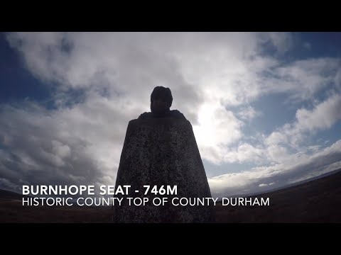
Historic County Top of County Durham - Burnhope Seat

This video is about our walk up Burnhope Seat, Historic County Top of County Durham near Bishop Auckland. Filmed in October ...

Congburn Wood 4K

Little wanders during lockdown with the hounds in our local woods.

Nearby Amenities

Located within 500m of 54.825622,-1.6714887
Broom House Farm Shop
Note: Share FHRS ID with coffee shop
Shop: farm
Website: https://www.broomhousedurham.co.uk/farm-shop/
Lat/Long: 54.8225762/-1.6673738
Entrance: main
Lat/Long: 54.8227349/-1.6664891
Leisure: picnic_table
Lat/Long: 54.8228867/-1.6662124
Leisure: picnic_table
Lat/Long: 54.8228141/-1.6662231
Leisure: picnic_table
Lat/Long: 54.8228527/-1.6661815
Leisure: picnic_table
Lat/Long: 54.8229184/-1.6662432
Leisure: picnic_table
Lat/Long: 54.8228906/-1.6663532
Leisure: picnic_table
Lat/Long: 54.822852/-1.6663344
Leisure: picnic_table
Lat/Long: 54.8228133/-1.6662888
Leisure: picnic_table
Lat/Long: 54.8228419/-1.6663921
Leisure: picnic_table
Lat/Long: 54.8228736/-1.6664283
The data included in this document is from www.openstreetmap.org. The data is made available under ODbL.

Have you been to Broom Hill?

Leave your review of Broom Hill below (or comments, questions and feedback).