Martin's Hill
Hill, Mountain in Gloucestershire Cotswold
England
Martin's Hill
Martin's Hill is a prominent geographical feature located in the county of Gloucestershire, England. Situated near the village of Nympsfield, it is a notable hill that forms part of the Cotswold Hills range. Standing at an elevation of approximately 261 meters (856 feet), it offers stunning panoramic views of the surrounding countryside.
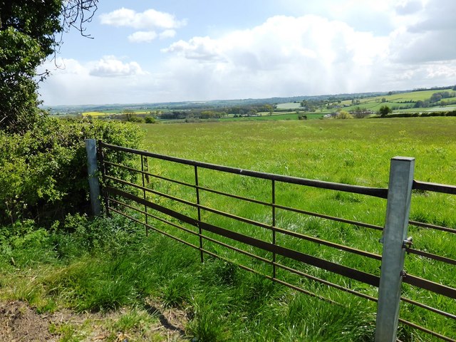
Covered in lush greenery and characterized by its gentle slopes, Martin's Hill is a popular destination for hikers, nature enthusiasts, and photographers. The hill is primarily composed of limestone, a characteristic feature of the Cotswold region. This geological makeup contributes to the unique flora and fauna found on the hill, including rare plant species and a variety of wildlife.
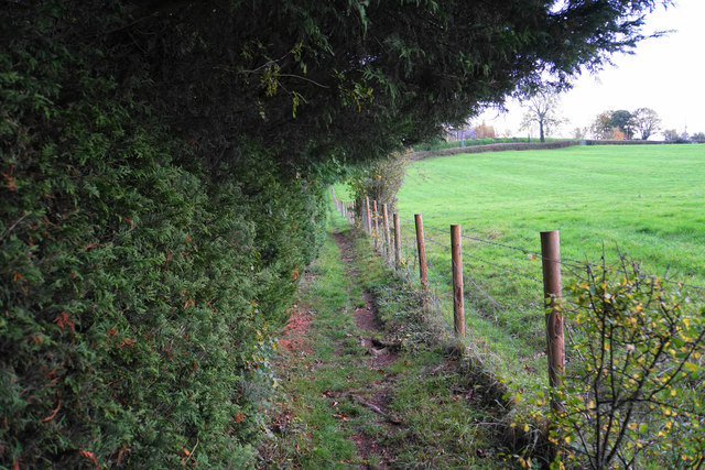
Visitors can access Martin's Hill through a network of footpaths that meander through picturesque countryside, making it an ideal location for a leisurely stroll or a challenging hike. At the summit, a trig point marks the highest point, offering visitors a perfect spot to pause and enjoy the breathtaking vistas. On clear days, the view stretches far beyond the immediate surroundings, allowing for glimpses of the Severn Estuary and the distant hills of Wales.
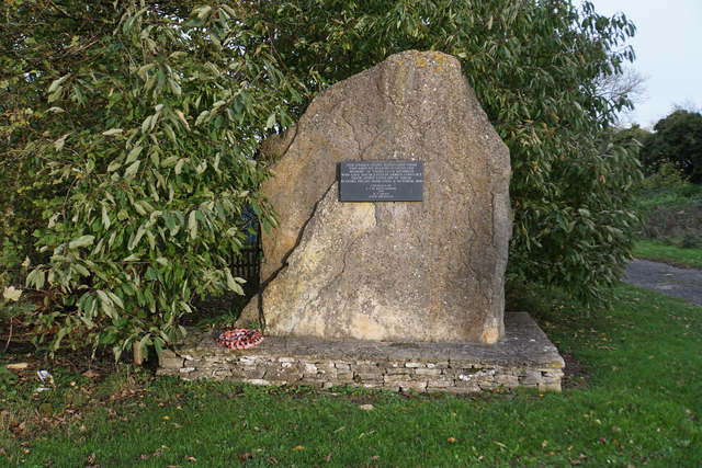
The area surrounding Martin's Hill is also rich in historical and cultural significance. Nearby, the remains of Nympsfield Long Barrow, a Neolithic burial mound, can be explored, providing fascinating insights into the region's ancient past.
In summary, Martin's Hill is an exceptional natural landmark in Gloucestershire, offering visitors a chance to immerse themselves in the beauty of the Cotswold Hills while experiencing its rich history and diverse ecosystem.
If you have any feedback on the listing, please let us know in the comments section below.
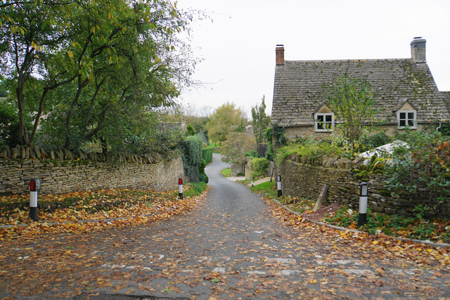
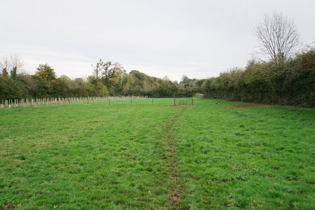
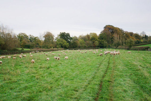
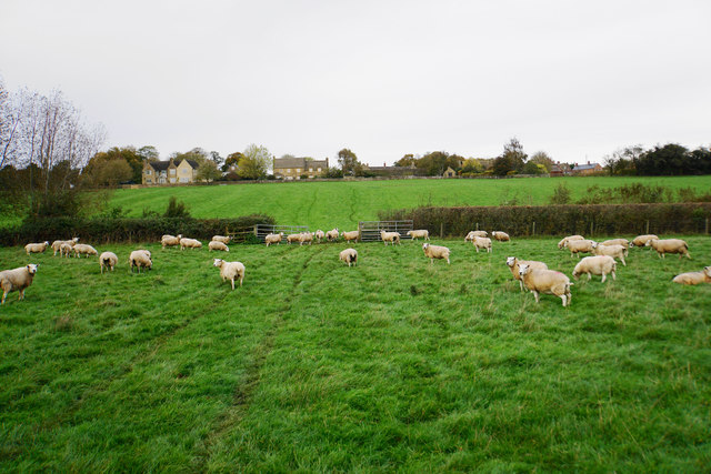
Martin's Hill Images
Images are sourced within 2km of 51.927113/-1.6930775 or Grid Reference SP2125. Thanks to Geograph Open Source API. All images are credited.


Martin's Hill is located at Grid Ref: SP2125 (Lat: 51.927113, Lng: -1.6930775)
Administrative County: Gloucestershire
District: Cotswold
Police Authority: Gloucestershire
What 3 Words
///moguls.turkey.marzipan. Near Stow on the Wold, Gloucestershire
Nearby Locations
Related Wikis
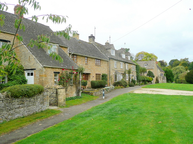
Maugersbury
Maugersbury is a village and civil parish in Gloucestershire, England. Situated less than a mile south-east of the market town of Stow-on-the-Wold and...

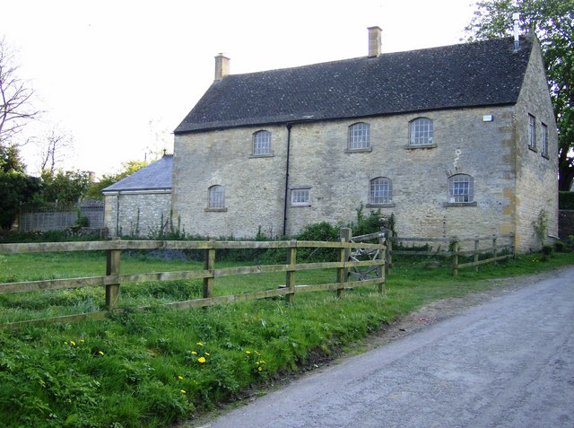
Maugersbury Manor
Maugersbury Manor is a manor house in the village of Maugersbury in Gloucestershire. It has been listed Grade II on the National Heritage List for England...

Stow-on-the-Wold
Stow-on-the-Wold is a market town and civil parish in Gloucestershire, England, on top of an 800-foot (244 m) hill at the junction of main roads through...
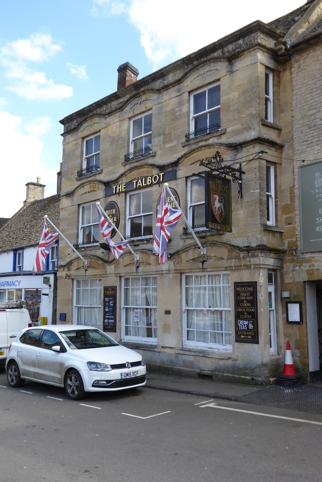
The Talbot, Stow-on-the-Wold
The Talbot, formerly known as The Talbot Hotel, is a public house in the Market Square in Stow-on-the-Wold, Gloucestershire, England. The structure, which...
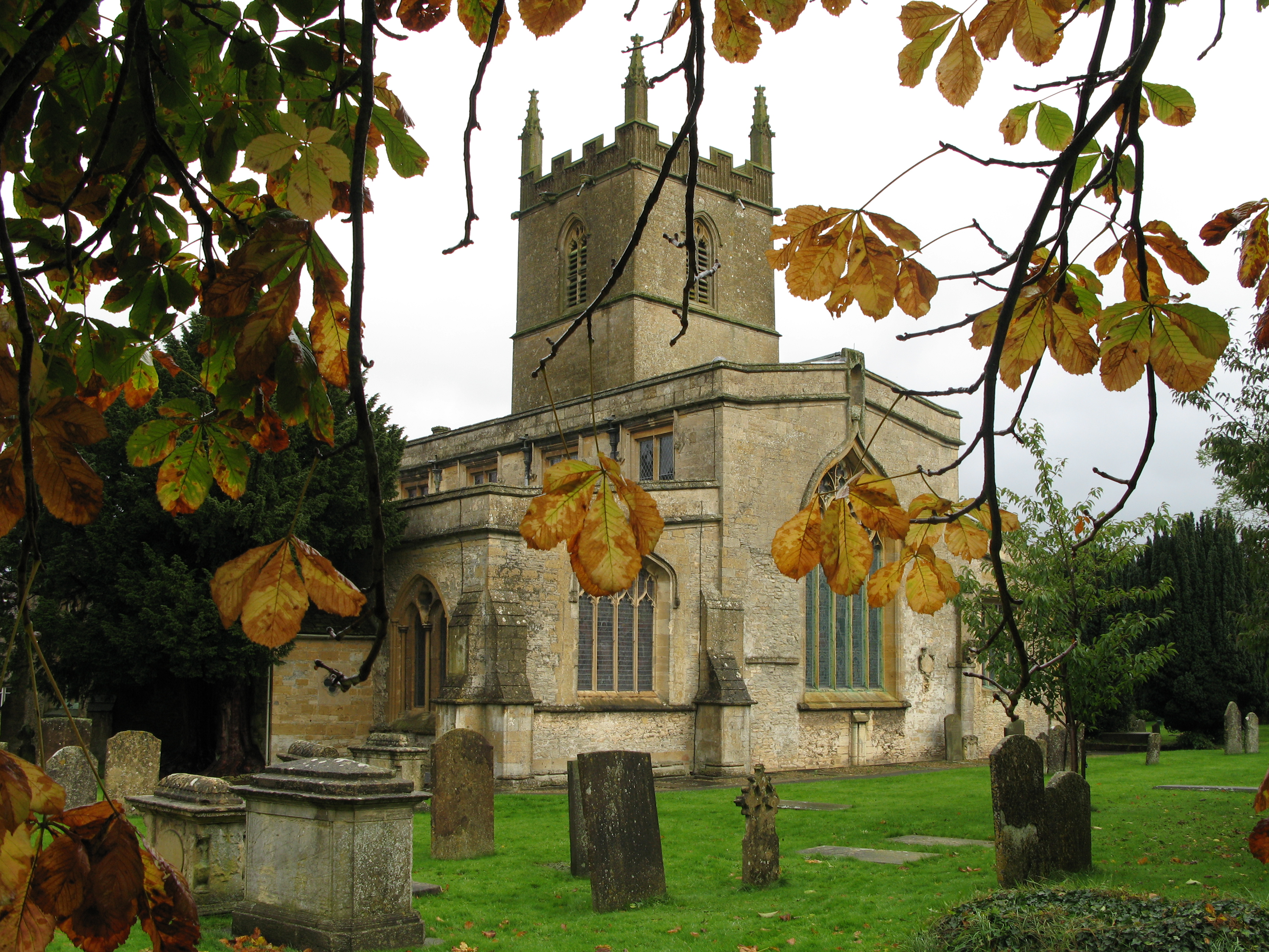
St Edward's Church, Stow-on-the-Wold
St Edward's Church is a medieval-built Church of England parish church, serving Stow-on-the-Wold ('Stow'), Gloucestershire. A tourist attraction, it is...
Broadwell, Cotswold
Broadwell is a village and civil parish in the English county of Gloucestershire. It is about 1.5 miles (2.4 km) north of Stow-on-the-Wold, In the 2001...
Quarwood
Quarwood or Quar Wood is a Victorian manor near Stow-on-the-Wold, Gloucestershire, England. It was formerly owned by The Who's bassist John Entwistle....
Adlestrop railway station
Adlestrop railway station was a railway station which served the village of Adlestrop in Gloucestershire, England, between 1853 and 1966. It was on what...
Nearby Amenities
Located within 500m of 51.927113,-1.6930775Have you been to Martin's Hill?
Leave your review of Martin's Hill below (or comments, questions and feedback).