Broad Law
Hill, Mountain in Derbyshire Derbyshire Dales
England
Broad Law
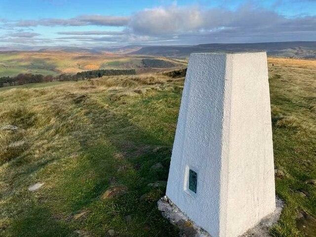
Broad Law is a prominent hill located in Derbyshire, England. It is part of the Peak District National Park and is situated near the village of Tideswell. With an elevation of 571 meters (1,873 feet), it is considered one of the highest points in the county.
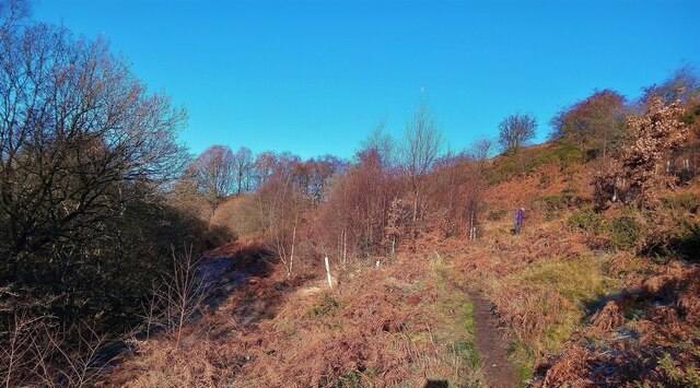
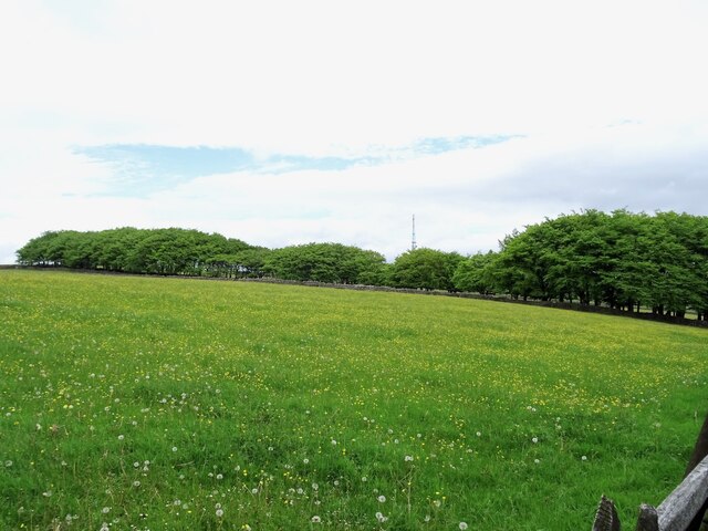
The hill offers breathtaking panoramic views of the surrounding countryside, including the nearby White Peak and Dark Peak areas. On a clear day, visitors can enjoy vistas stretching as far as the eye can see, with rolling hills, lush green meadows, and picturesque valleys. The landscape is dotted with dry stone walls and scattered with sheep, adding to the rural charm.
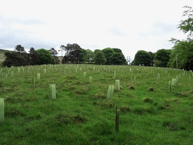
Broad Law is a popular destination for outdoor enthusiasts, offering a range of activities such as hiking, walking, and birdwatching. There are several well-marked trails that lead to the summit, allowing visitors to explore the area's natural beauty at their own pace. The hill is also a haven for wildlife, with a variety of bird species, including peregrine falcons and buzzards, frequently spotted in the area.
For those interested in history, Broad Law has associations with the region's mining past. Remnants of old lead mines can be found in the vicinity, providing a glimpse into the area's industrial heritage.
Overall, Broad Law offers a tranquil escape into nature, with its stunning views, diverse flora and fauna, and opportunities for outdoor activities, making it a must-visit destination for nature lovers and adventurers alike.
If you have any feedback on the listing, please let us know in the comments section below.
Broad Law Images
Images are sourced within 2km of 53.296691/-1.6834024 or Grid Reference SK2177. Thanks to Geograph Open Source API. All images are credited.


Broad Law is located at Grid Ref: SK2177 (Lat: 53.296691, Lng: -1.6834024)
Administrative County: Derbyshire
District: Derbyshire Dales
Police Authority: Derbyshire
What 3 Words
///poker.messy.hamper. Near Hathersage, Derbyshire
Nearby Locations
Related Wikis

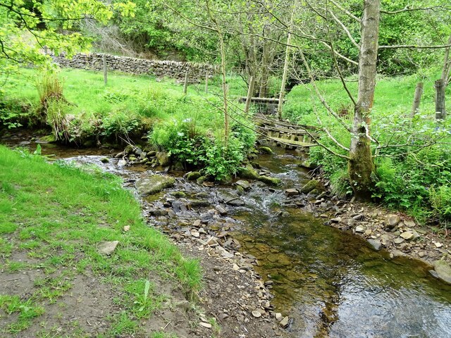
Jumber Brook
Jumber Brook is a stream in Eyam in the Derbyshire Peak District. The stream originates to the north of the village at Highcliffe. The brook flows south...

Eyam Museum
Eyam Museum or as it is locally known Eyam Plague museum is a local museum in the village of Eyam, located in the Peak District, Derbyshire, England....

Eyam Moor
Eyam Moor is a plateau-topped hill between the villages of Eyam and Hathersage in Derbyshire, in the Peak District of England. The summit of Sir William...

Mompesson's Well
Mompesson's Well is a 17th-century grade II listed water well in Eyam, Derbyshire. == History == The well is named for Church of England priest William...

St Lawrence's Church, Eyam
St Lawrence’s Church, Eyam is a Grade II* listed parish church in the Church of England in Eyam, Derbyshire. == History == The church is medieval with...
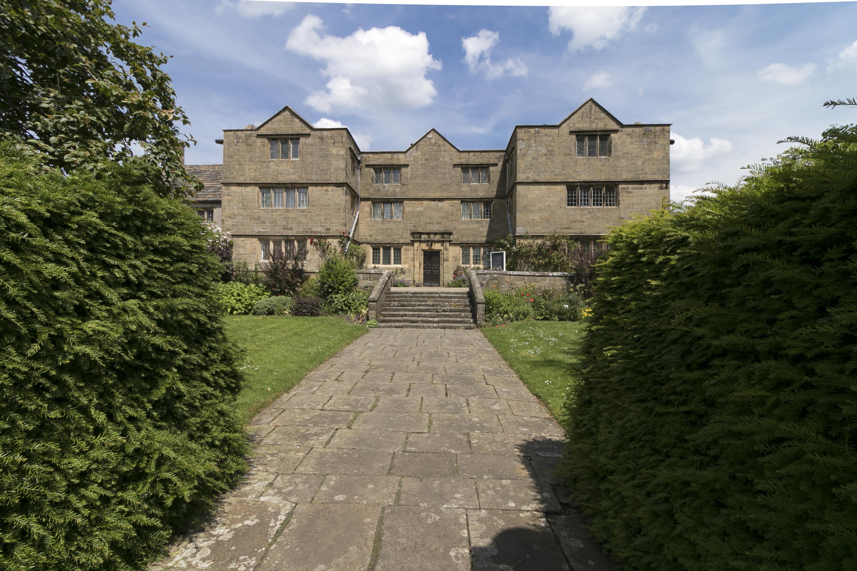
Eyam Hall
Eyam Hall is a country house within the civil parish of Eyam, Derbyshire, located to the west of St Lawrence's Church, Eyam. It is recorded in the National...
Eyam
Eyam ( ) is an English village and civil parish in the Derbyshire Dales that lies within the Peak District National Park. There is evidence of early occupation...

Highlow
Highlow is a civil parish within the Derbyshire Dales district, in the county of Derbyshire, England. Largely rural, Highlow's population is reported with...
Nearby Amenities
Located within 500m of 53.296691,-1.6834024Have you been to Broad Law?
Leave your review of Broad Law below (or comments, questions and feedback).