Black Pasture Hill

Hill, Mountain in Yorkshire Harrogate

England

Black Pasture Hill

Telephone box, Warthermarske In 1935, the Post Office commissioned a new kiosk from Sir Giles Gilbert Scott to celebrate the Jubilee of King George V.  The K6 Jubilee Kiosk, as it is known, was similar to the K2 box, being made of cast iron and painted red but was 25% lighter in weight.  By the end of the 1930s there were 20,000 K6 telephone boxes in use all over the UK.
Telephone box, Warthermarske Credit: Maigheach-gheal

Black Pasture Hill, located in Yorkshire, England, is an impressive hill that stands as a prominent landmark in the region. With an elevation of approximately 400 meters, it is considered a significant hill rather than a mountain. The hill is part of the expansive Yorkshire Dales National Park, renowned for its stunning natural beauty and diverse landscapes.

Black Pasture Hill is characterized by its distinctive dark-colored vegetation, which gives it its name. The hill is covered in heather, bracken, and grasses, creating a striking contrast against the surrounding greenery. This unique feature adds to the hill's allure and visual appeal.

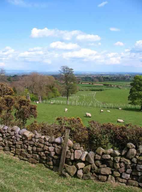
The summit of Black Pasture Hill offers breathtaking panoramic views of the surrounding countryside, including rolling hills, lush valleys, and charming villages. On a clear day, visitors can even catch a glimpse of the distant Yorkshire Moors. The hill attracts hikers, nature enthusiasts, and photographers who seek to capture the beauty of the Yorkshire landscape.

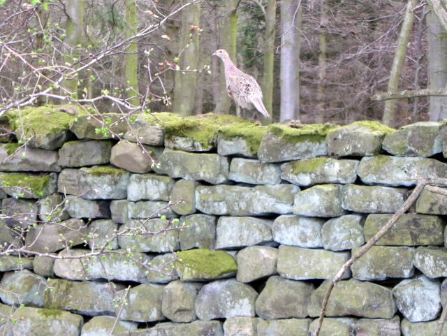
The area around Black Pasture Hill is home to a variety of wildlife, including birds, rabbits, and deer. It is not uncommon for visitors to spot these animals while exploring the hill's trails.

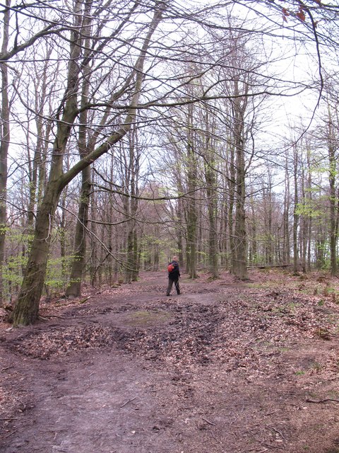
Access to Black Pasture Hill is relatively easy, with several footpaths and trails leading to the summit. The hill is a popular destination for outdoor activities such as walking, hiking, and picnicking. It offers a peaceful and tranquil environment, allowing visitors to escape the hustle and bustle of everyday life and immerse themselves in the natural splendor of Yorkshire.

If you have any feedback on the listing, please let us know in the comments section below.

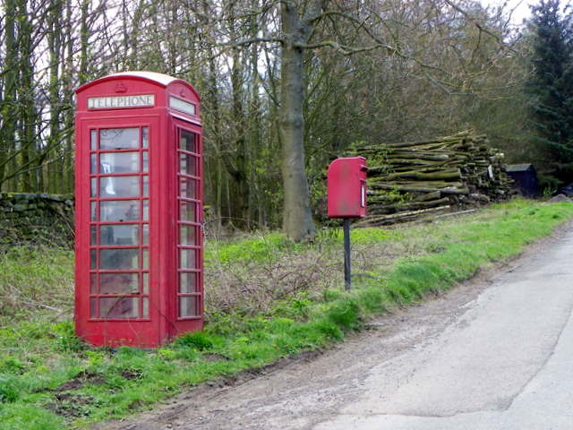
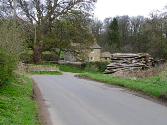
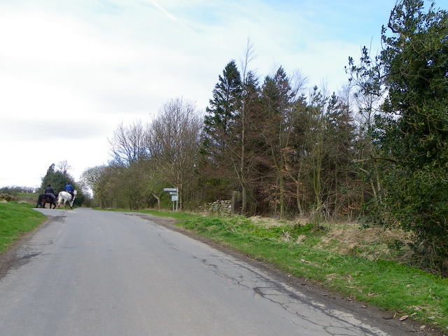
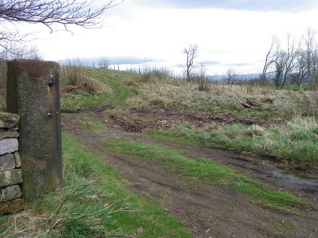
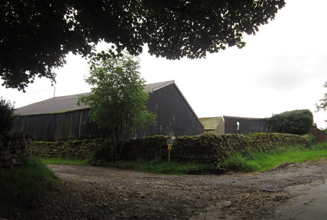
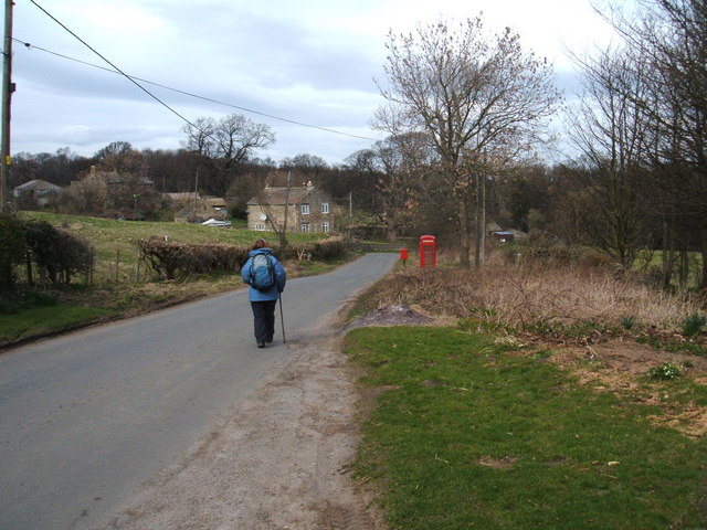
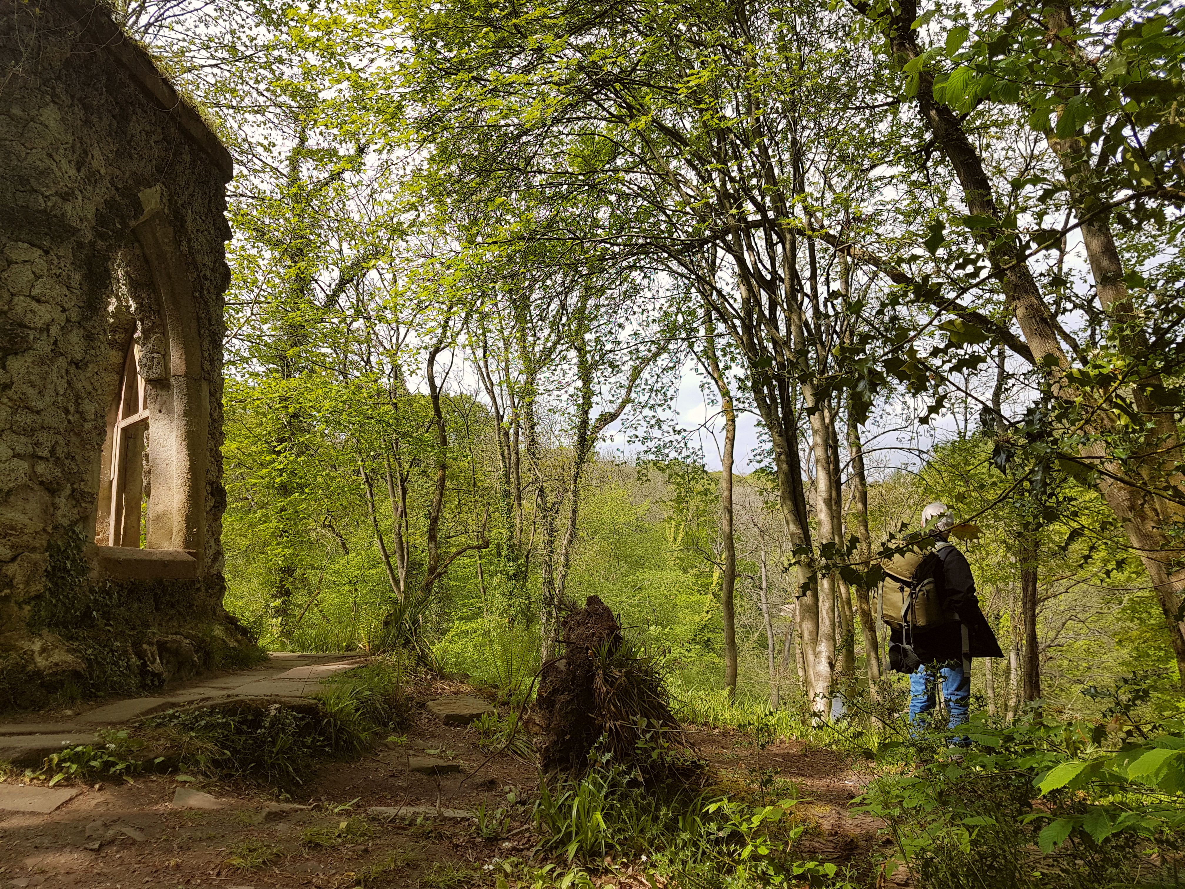
Black Pasture Hill Images

Images are sourced within 2km of 54.190483/-1.6901498 or Grid Reference SE2077. Thanks to Geograph Open Source API. All images are credited.

Telephone box, Warthermarske In 1935, the Post Office commissioned a new kiosk from Sir Giles Gilbert Scott to celebrate the Jubilee of King George V.  The K6 Jubilee Kiosk, as it is known, was similar to the K2 box, being made of cast iron and painted red but was 25% lighter in weight.  By the end of the 1930s there were 20,000 K6 telephone boxes in use all over the UK.
Telephone box, Warthermarske
In 1935, the Post Office commissioned a new kiosk from Sir Giles Gilbert Scott to celebrate the Jubilee of King George V. The K6 Jubilee Kiosk, as it is known, was similar to the K2 box, being made of cast iron and painted red but was 25% lighter in weight. By the end of the 1930s there were 20,000 K6 telephone boxes in use all over the UK.
Minor road, Warthermarske The minor road through the hamlet of Warthermarske.
Minor road, Warthermarske
The minor road through the hamlet of Warthermarske.
Road junction near Ilton Straight on for Ilton and left for Cindra How.
Road junction near Ilton
Straight on for Ilton and left for Cindra How.
Post, Warrener Wood On the stone post is an Ordnance Survey bench mark.
Post, Warrener Wood
On the stone post is an Ordnance Survey bench mark.
Bench Mark, Warrener Wood At the base of the stone post is an Ordnance Survey bench mark.  For a view of the post <a href="https://www.geograph.org.uk/photo/2544030">SE2078 : Post, Warrener Wood</a> and for further information on the bench mark and others in the area <span class="nowrap"><a title="http://www.bench-marks.org.uk/bm39028" rel="nofollow ugc noopener" href="http://www.bench-marks.org.uk/bm39028">Link</a><img style="margin-left:2px;" alt="External link" title="External link - shift click to open in new window" src="https://s1.geograph.org.uk/img/external.png" width="10" height="10"/></span>
Bench Mark, Warrener Wood
At the base of the stone post is an Ordnance Survey bench mark. For a view of the post SE2078 : Post, Warrener Wood and for further information on the bench mark and others in the area LinkExternal link
Hen pheasant, Warrener Wood Among the most savoury of game birds, pheasants provide sport by flying strongly and directly over guns. When otherwise disturbed, they tend to run away rather than fly. Rearing and protecting them, organising shoots has become a major rural industry.

Pheasants, first recorded in England in 1059, are now widespread throughout Britain and Ireland. One theory is that they were introduced by the Romans from Asia. The common pheasant derives from the Chinese ring-necked, black-necked and Mongolian breeds, and accordingly varies in plumage. This has produced two forms - those with a white neck-ring and those without. 

Pheasants are ground dwelling birds, vulnerable to foxes, stoats, weasels and other predators. Due to the efforts of gamekeepers, who also supply winter feeding, pheasants survive in larger numbers than would be possible if they were left to fend for themselves.

The pheasant shooting season starts on October 1st, but in practice very few pheasants are shot before the end of October and indeed the size and quality can be poor during that month. The glut of birds tends to start about two weeks into November.
Hen pheasant, Warrener Wood
Among the most savoury of game birds, pheasants provide sport by flying strongly and directly over guns. When otherwise disturbed, they tend to run away rather than fly. Rearing and protecting them, organising shoots has become a major rural industry. Pheasants, first recorded in England in 1059, are now widespread throughout Britain and Ireland. One theory is that they were introduced by the Romans from Asia. The common pheasant derives from the Chinese ring-necked, black-necked and Mongolian breeds, and accordingly varies in plumage. This has produced two forms - those with a white neck-ring and those without. Pheasants are ground dwelling birds, vulnerable to foxes, stoats, weasels and other predators. Due to the efforts of gamekeepers, who also supply winter feeding, pheasants survive in larger numbers than would be possible if they were left to fend for themselves. The pheasant shooting season starts on October 1st, but in practice very few pheasants are shot before the end of October and indeed the size and quality can be poor during that month. The glut of birds tends to start about two weeks into November.
Parked Up Old Ford tractor with a trailer full of stone parked up outside Foulgate Farm.
Parked Up
Old Ford tractor with a trailer full of stone parked up outside Foulgate Farm.
Duck pond, Foulgate A recently constructed duck pond, complete with smart duck house on an island.
Duck pond, Foulgate
A recently constructed duck pond, complete with smart duck house on an island.
Young trees in a dandelion patch Saplings planted in a field of dandelions on Grewelthorpe Moor. In the middle distance is Oak Stile Farm.
Young trees in a dandelion patch
Saplings planted in a field of dandelions on Grewelthorpe Moor. In the middle distance is Oak Stile Farm.
Sheep pastures, Spring Hill Green pastures slope away to the east from Spring Hill. The view extends to the distant Vale of York.
Sheep pastures, Spring Hill
Green pastures slope away to the east from Spring Hill. The view extends to the distant Vale of York.
Hutts Gill Hutts Gill appears to be the name for both valley and beck. The valley is deep and steep sided, whilst the beck is tiny. The topography here suggests that this is a glacial meltwater channel, one of many on the eastern fringe of the Pennines.
Hutts Gill
Hutts Gill appears to be the name for both valley and beck. The valley is deep and steep sided, whilst the beck is tiny. The topography here suggests that this is a glacial meltwater channel, one of many on the eastern fringe of the Pennines.
Woodland path, Nutwith Common This should be the line of the public footpath through the woodland on Nutwith Common, but the walked route is often the driest rather than as shown on the map.
Woodland path, Nutwith Common
This should be the line of the public footpath through the woodland on Nutwith Common, but the walked route is often the driest rather than as shown on the map.
A house near Warthermarske
The telephone / post box at Warthermarske
Buildings at Gill Head Farm
Nutwith Lane Following the lane from Grewelthorpe up towards Nutwith Common
Nutwith Lane
Following the lane from Grewelthorpe up towards Nutwith Common
"Swing me Mama", Himalayan Gardens, Grewelthorpe The Grewelthorpe Himalayan Gardens have been established since 1998 on the steep side of the valley of the Hutts Gill and feature plants such as rhododendron. They are open to the public in spring and early summer. The gardens also host a rotating display of sculptures such as this one by Clive Gono.
"Swing me Mama", Himalayan Gardens, Grewelthorpe
The Grewelthorpe Himalayan Gardens have been established since 1998 on the steep side of the valley of the Hutts Gill and feature plants such as rhododendron. They are open to the public in spring and early summer. The gardens also host a rotating display of sculptures such as this one by Clive Gono.
"Team Spirit", Himalayan Gardens, Grewelthorpe The Grewlethorpe Himalayan Gardens have been established since 1998 on the steep side of the valley of the Hutts Gill and feature plants such as rhododendron. They are open to the public in spring and early summer. The gardens also host a rotating display of sculptures such as this one in the old walled garden by Ann Vrielinck.
"Team Spirit", Himalayan Gardens, Grewelthorpe
The Grewlethorpe Himalayan Gardens have been established since 1998 on the steep side of the valley of the Hutts Gill and feature plants such as rhododendron. They are open to the public in spring and early summer. The gardens also host a rotating display of sculptures such as this one in the old walled garden by Ann Vrielinck.
Show me another place!

Black Pasture Hill is located at Grid Ref: SE2077 (Lat: 54.190483, Lng: -1.6901498)

Division: West Riding

Administrative County: North Yorkshire

District: Harrogate

Police Authority: North Yorkshire

What 3 Words

///charts.elders.gradually. Near Masham, North Yorkshire

Nearby Locations

Black Pasture Hill

Related Wikis

Swinton with Warthermarske

Swinton with Warthermarske is a civil parish in Harrogate district, North Yorkshire, England. The parish includes the village of Swinton and the hamlets...

Ilton, North Yorkshire

Ilton is a village in North Yorkshire, England, 3 miles south-west of Masham. It is the principal settlement in the civil parish of Ilton cum Pott, in...

Warthermarske

Warthermarske is a hamlet in the Harrogate borough of North Yorkshire, England. It is near Swinton, about 1 mile (2 km) south-west of Masham. The village...

Swinton Estate

The Swinton Estate is a large privately owned estate in North Yorkshire, England. It comprises some 20,000 acres (8,100 ha) of countryside in the Nidderdale...

Grewelthorpe

Grewelthorpe is a village and civil parish in the Harrogate district of North Yorkshire, England situated 3 miles (5 km) south of Masham and 6.2 miles...

Swinton, Harrogate

Swinton is a small village in the Harrogate district of North Yorkshire, England. It is situated to the immediate south-west of Masham and separated from...

Colsterdale Light Railway

The Colsterdale Light Railway (CLR) was a narrow-gauge railway line in Colsterdale, North Yorkshire, England. It was built between 1903 and 1905 to allow...

Hack Fall Wood

Hack Fall Wood, otherwise known as Hackfall, is a Site of Special Scientific Interest, or SSSI, of 44.8687 hectares (0.4487 km2; 0.1732 sq mi), lying north...

Nearby Amenities

Located within 500m of 54.190483,-1.6901498
Place: farm
Lat/Long: 54.1877913/-1.6914318
Place: farm
Lat/Long: 54.1896494/-1.6859816
Power: pole
Lat/Long: 54.1899258/-1.683827
Power: pole
Lat/Long: 54.1898086/-1.6854907
Power: pole
Lat/Long: 54.1867595/-1.693323
Power: pole
Lat/Long: 54.1876558/-1.6917033
Power: pole
Lat/Long: 54.1871541/-1.6919549
Power: pole
Lat/Long: 54.1866738/-1.6922115
Power: pole
Lat/Long: 54.1867424/-1.6929395
Power: pole
Lat/Long: 54.1868181/-1.6942514
The data included in this document is from www.openstreetmap.org. The data is made available under ODbL.

Have you been to Black Pasture Hill?

Leave your review of Black Pasture Hill below (or comments, questions and feedback).