Blue-meadow Hill
Hill, Mountain in Shetland
Scotland
Blue-meadow Hill
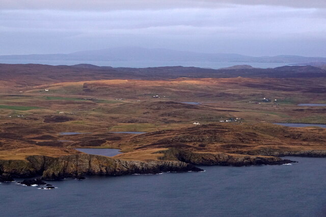
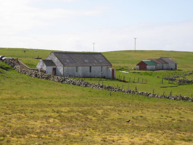
Blue-meadow Hill, located in the Shetland Islands, is a prominent hill that offers stunning panoramic views of the surrounding landscape. Situated in the northwestern region of Shetland, this hill is part of the Mainland, the largest island in the archipelago. Rising to an elevation of approximately 221 meters (725 feet), Blue-meadow Hill is a popular destination for both locals and tourists alike.
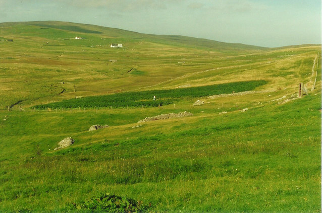
The hill derives its name from the vibrant blue wildflowers that dot its meadows during the summer months, creating a picturesque scene. The ascent to the top of Blue-meadow Hill is relatively moderate, making it accessible to visitors of varying fitness levels. Along the way, hikers can enjoy the diverse flora and fauna that thrive in this region, including numerous species of birds and wildflowers.
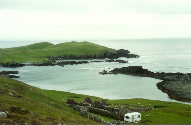
From the summit, visitors are rewarded with breathtaking views of the surrounding landscape. On a clear day, one can see the rugged coastline, the vast expanse of the North Sea, and the neighboring islands in the distance. The panoramic vista also includes the charming coastal villages and the rolling green hills that characterize the Shetland Islands.
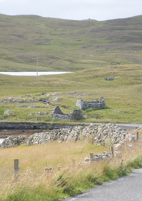
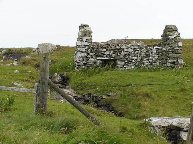
Blue-meadow Hill is not only a natural wonder but also holds historical significance. It is believed to have been a site of ancient settlements, with archaeological remains discovered in the vicinity. The hill serves as a reminder of the rich cultural heritage that dates back thousands of years.
With its natural beauty, accessibility, and historical importance, Blue-meadow Hill stands as a must-visit destination for nature enthusiasts and history buffs exploring the Shetland Islands.
If you have any feedback on the listing, please let us know in the comments section below.
Blue-meadow Hill Images
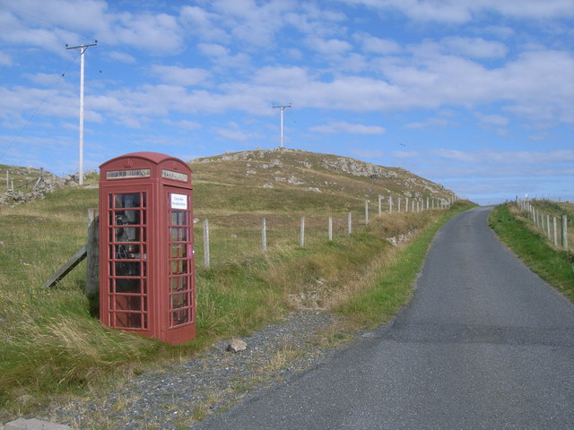
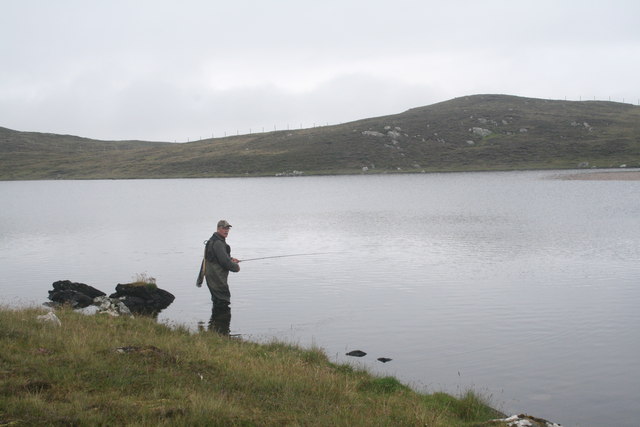
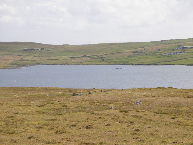
Images are sourced within 2km of 60.218912/-1.6433921 or Grid Reference HU1948. Thanks to Geograph Open Source API. All images are credited.


Blue-meadow Hill is located at Grid Ref: HU1948 (Lat: 60.218912, Lng: -1.6433921)
Unitary Authority: Shetland Islands
Police Authority: Highlands and Islands
What 3 Words
///dull.tricky.tadpole. Near Walls, Shetland Islands
Nearby Locations
Related Wikis

Burrastow
Burrastow is a location on the west shore of Vaila Sound near the village of Walls on the Shetland Mainland, Scotland. There are two small piers and the...
Vaila
Vaila (Old Norse: "Valey") is an island in Shetland, Scotland, lying south of the Westland peninsula of the Shetland Mainland. It has an area of 327 hectares...

Linga, Vaila Sound
Linga is one of the Shetland Islands, near Vaila and Walls on Mainland, Shetland. Its highest elevation is 28 metres (91 ft). In 2014 and 2018 it was...

Walls, Shetland
Walls, known locally as Waas (Old Norse: Vagar = "Sheltered Bays" (voes) - the Ordnance Survey added the "ll" as they thought it was a corruption of "walls...

Broch of Culswick
The Broch of Culswick (also Culswick Broch) is an unexcavated coastal broch in the Shetland Islands of Scotland (grid reference HU25384481). It has...

Scord of Brouster
The Scord of Brouster is one of the earliest Neolithic farm sites in Shetland, Scotland. It has been dated to 2220 BC with a time window of 80 years on...
Browland
Browland is a village on Mainland in Shetland, Scotland situated about 1.9 miles (3 km) east north east of Walls. Browland is within the parish of Sandsting...
Gruting
Gruting is a hamlet on the island of Mainland, Shetland in Scotland. It is about 1 kilometre (0.62 mi) southwest of the archaeological site of Stanydale...
Have you been to Blue-meadow Hill?
Leave your review of Blue-meadow Hill below (or comments, questions and feedback).