Bird Hill
Hill, Mountain in Durham
England
Bird Hill
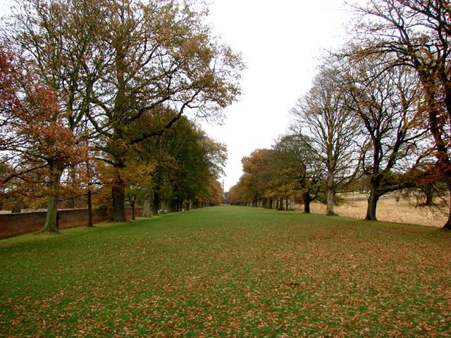
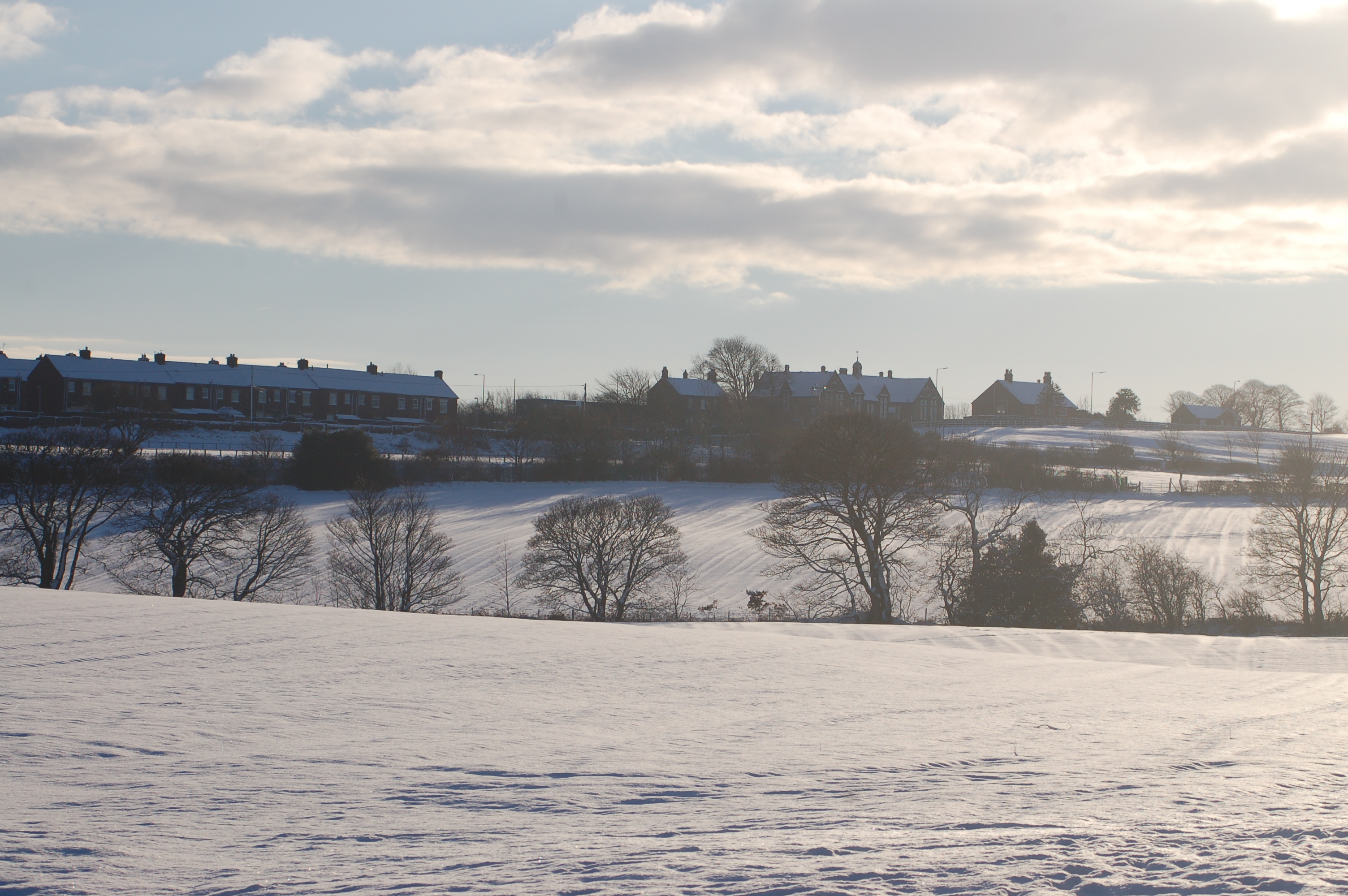
Bird Hill is a prominent geographical feature located in Durham County, North Carolina. Situated in the Piedmont region, this hill is known for its scenic beauty and natural habitat. Rising to an elevation of approximately 450 feet, it offers breathtaking views of the surrounding landscape.
The hill derives its name from the abundance of bird species that can be found in the area. Bird enthusiasts flock to this location to observe and study the diverse avian population that calls Bird Hill home. The variety of species includes warblers, finches, woodpeckers, and raptors, among others. The hill's unique ecosystem provides a favorable habitat for these birds, with its mix of mature trees, shrubs, and open spaces.
Apart from its ornithological significance, Bird Hill also holds cultural and historical importance. It is believed that Native American tribes once inhabited the region, leaving behind traces of their presence. Archaeological artifacts and tools dating back thousands of years have been discovered in the vicinity, shedding light on the rich history of the area.
Bird Hill has become a popular destination for outdoor enthusiasts and nature lovers. It offers various recreational activities, such as hiking, birdwatching, and photography. The hill's trails wind through lush forests, providing an opportunity to explore the diverse flora and fauna that thrive in this protected natural area.
In summary, Bird Hill in Durham County is a captivating hill that not only offers stunning vistas and recreational opportunities but also serves as a haven for bird species and a reminder of the region's Native American heritage.
If you have any feedback on the listing, please let us know in the comments section below.
Bird Hill Images
Images are sourced within 2km of 54.923322/-1.6994806 or Grid Reference NZ1958. Thanks to Geograph Open Source API. All images are credited.

Bird Hill is located at Grid Ref: NZ1958 (Lat: 54.923322, Lng: -1.6994806)
Unitary Authority: Gateshead
Police Authority: Northumbria
What 3 Words
///tides.hops.rapid. Near Burnopfield, Co. Durham
Related Wikis

Sunniside, Gateshead
Sunniside is a village in the Metropolitan Borough of Gateshead, which is located around 5.5 miles (9 km) from Newcastle upon Tyne. Prior to the creation...
Marley Hill
Marley Hill is a former colliery village about six miles to the south west of Gateshead, near the border between Tyne and Wear and County Durham. It has...
Byermoor
Byermoor is a village near Burnopfield and Sunniside in England. The village has a population of around 100 and contains a school (Sacred Heart) and a...

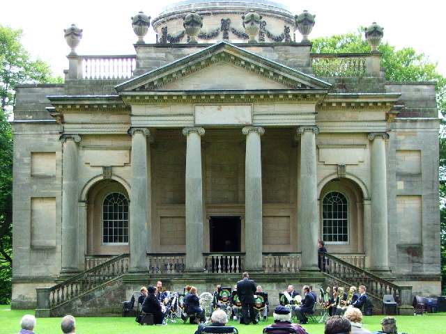
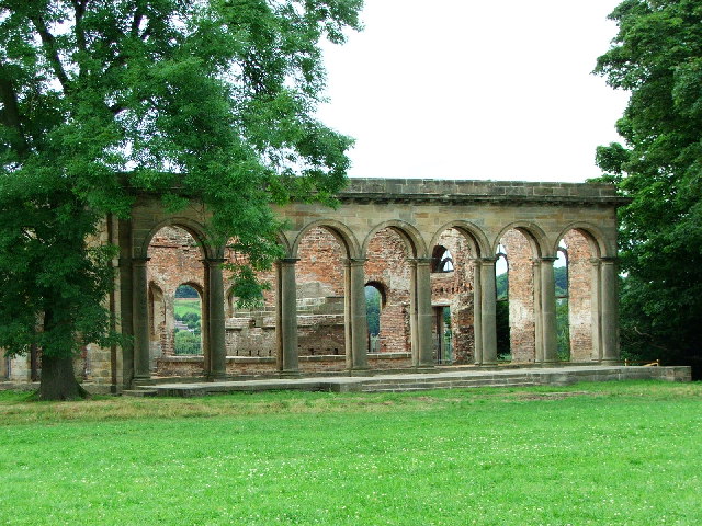
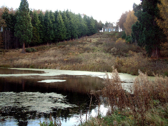
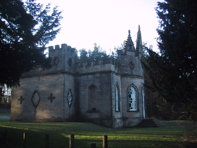
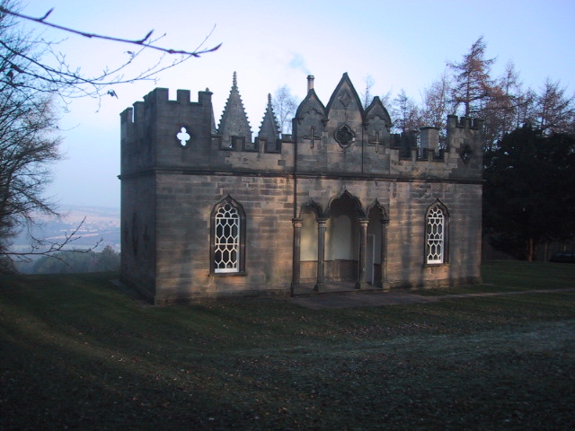
Banqueting House, Gibside
The Banqueting House is an 18th-century building, part of the Gibside estate, near Newcastle upon Tyne, England. Its style has been described as "Gothick...
Nearby Amenities
Located within 500m of 54.923322,-1.6994806Have you been to Bird Hill?
Leave your review of Bird Hill below (or comments, questions and feedback).