Fellside
Settlement in Durham
England
Fellside

Fellside is a small village located in County Durham, England. Situated in the northern part of the country, it is nestled within the stunning landscape of the North Pennines Area of Outstanding Natural Beauty. The village is part of the wider Weardale region, known for its picturesque countryside and charming rural communities.
Fellside is characterized by its tranquil and idyllic setting, surrounded by rolling hills, lush green fields, and meandering rivers. The village itself is relatively small, with a population of just over 100 residents. Its quaint and traditional stone buildings add to its charm and give it a distinct character.
The village is home to a handful of amenities, including a village pub, a primary school, and a community center. These facilities provide a close-knit and friendly atmosphere for both residents and visitors. Additionally, Fellside is well-connected to neighboring towns and cities, with regular bus services and good road links.
Nature enthusiasts will find plenty to explore in the surrounding area. Fellside is a gateway to the stunning North Pennines, offering numerous walking and hiking trails that showcase the region's natural beauty. The nearby River Wear also provides opportunities for fishing and boating.
Overall, Fellside is a peaceful and scenic village, offering a peaceful retreat from the hustle and bustle of city life. Its rural charm and close proximity to natural wonders make it an appealing destination for both locals and tourists seeking a slice of countryside tranquility.
If you have any feedback on the listing, please let us know in the comments section below.
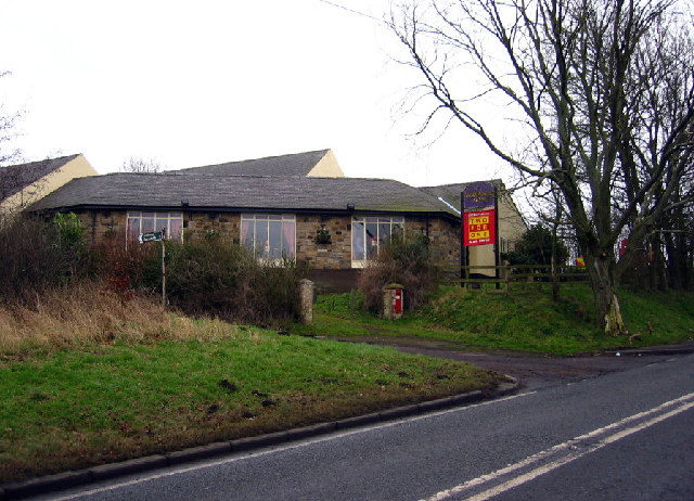
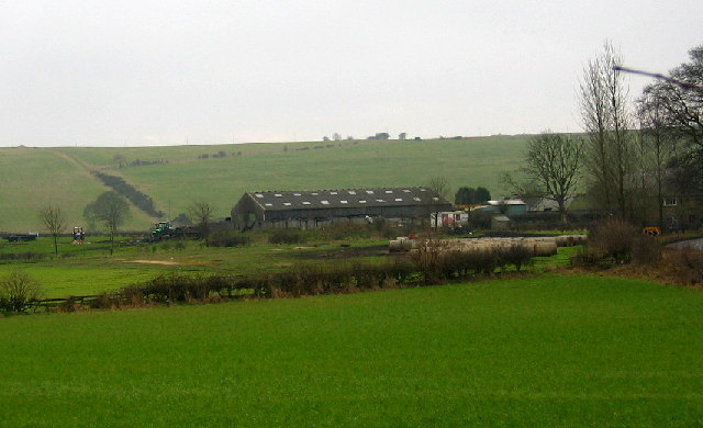
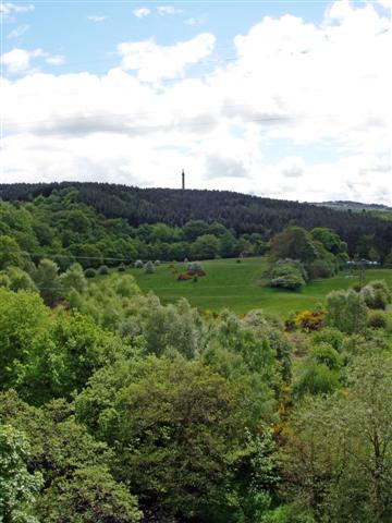
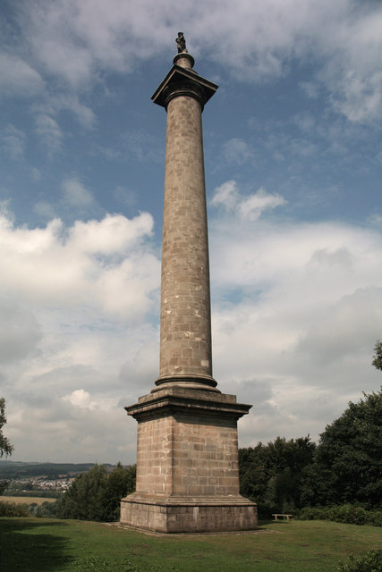
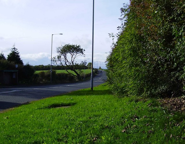
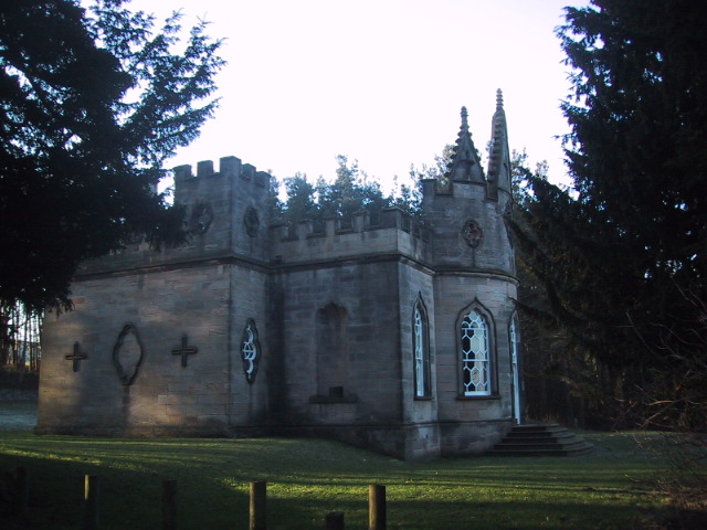
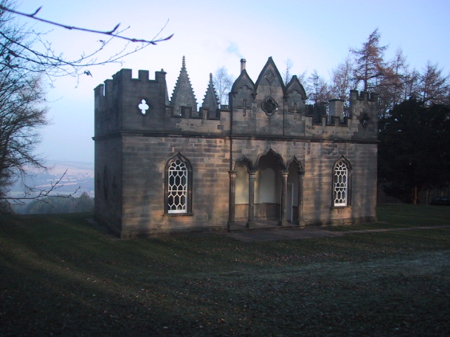
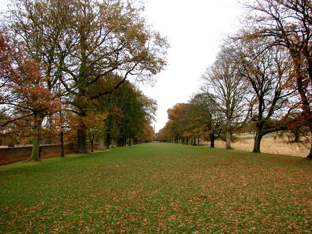
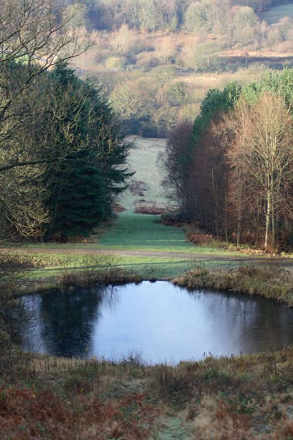
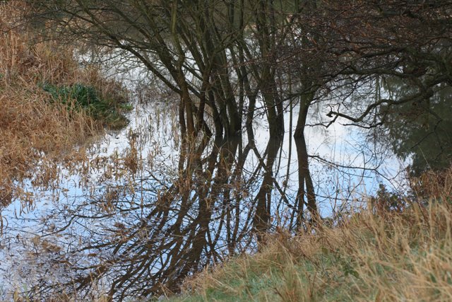
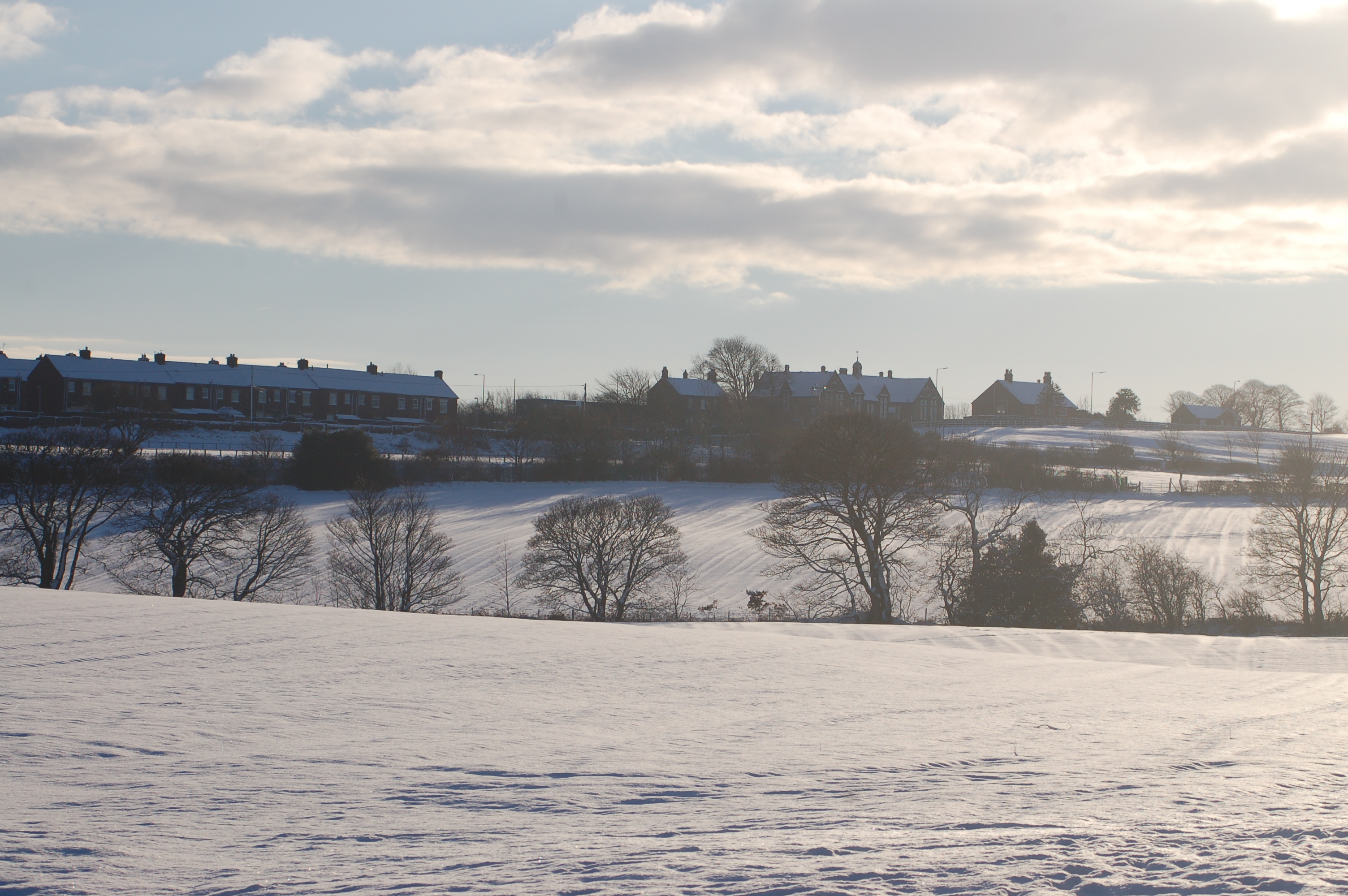
Fellside Images
Images are sourced within 2km of 54.923787/-1.698307 or Grid Reference NZ1958. Thanks to Geograph Open Source API. All images are credited.


Fellside is located at Grid Ref: NZ1958 (Lat: 54.923787, Lng: -1.698307)
Unitary Authority: Gateshead
Police Authority: Northumbria
What 3 Words
///rushed.bench.assist. Near Burnopfield, Co. Durham
Related Wikis

Sunniside, Gateshead
Sunniside is a village in the Metropolitan Borough of Gateshead, which is located around 5.5 miles (9 km) from Newcastle upon Tyne. Prior to the creation...
Marley Hill
Marley Hill is a former colliery village about six miles to the south west of Gateshead, near the border between Tyne and Wear and County Durham. It has...
Byermoor
Byermoor is a village near Burnopfield and Sunniside in England. The village has a population of around 100 and contains a school (Sacred Heart) and a...

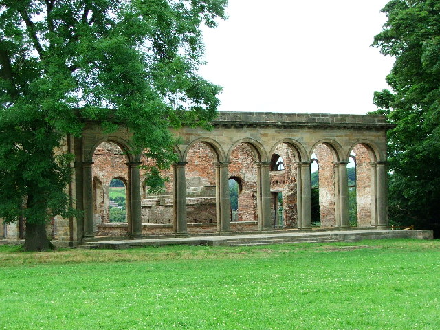
Banqueting House, Gibside
The Banqueting House is an 18th-century building, part of the Gibside estate, near Newcastle upon Tyne, England. Its style has been described as "Gothick...
Nearby Amenities
Located within 500m of 54.923787,-1.698307Have you been to Fellside?
Leave your review of Fellside below (or comments, questions and feedback).