Haddingley Hill

Hill, Mountain in Yorkshire

England

Haddingley Hill

Autumn colour, Upper Cumberworth Whilst exploring a footpath I found that it crosses a field apparently left to nature, with young trees and patches of brambles.  There is a seat behind the tree in the centre of the image, and I thought that this might be a Millennium green, but the nearest ones are at Emley and Clayton West; Upper Cumberworth has a small village garden.
Autumn colour, Upper Cumberworth Credit: Humphrey Bolton

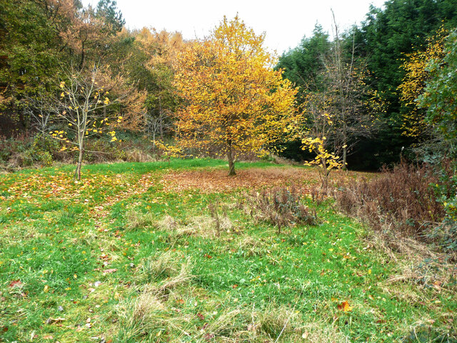
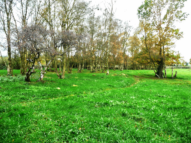
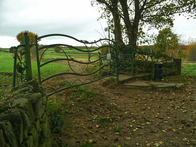
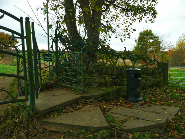
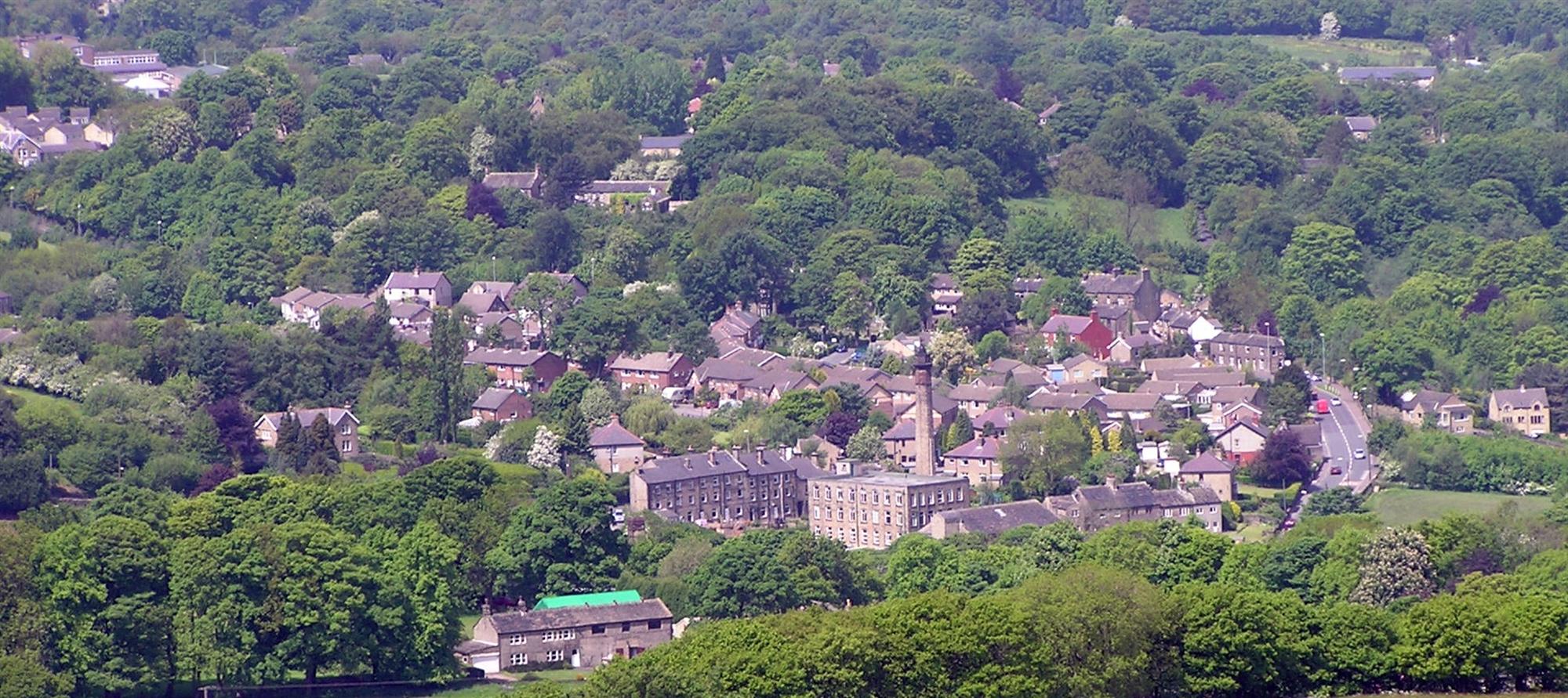
Haddingley Hill is a prominent geological feature located in Yorkshire, England. Rising to an elevation of approximately 1,000 feet above sea level, the hill offers commanding views of the surrounding countryside. It is characterized by its steep slopes, rugged terrain, and lush vegetation, making it a popular destination for hikers, nature enthusiasts, and outdoor adventurers.

The hill is known for its rich biodiversity, with a variety of plant and animal species calling it home. Visitors to Haddingley Hill can expect to encounter a diverse array of flora and fauna, including wildflowers, birds, and small mammals.

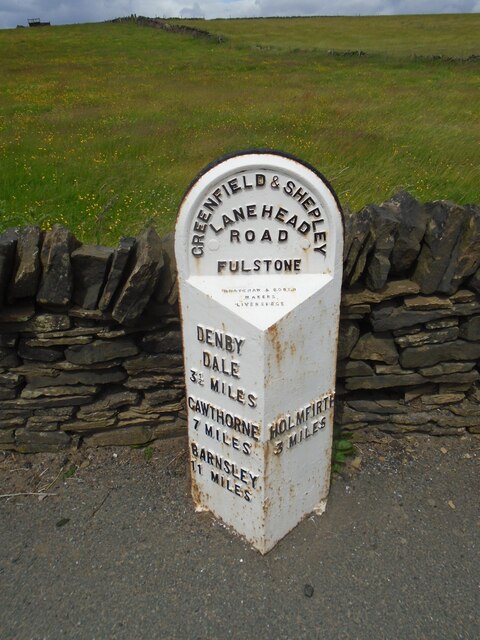
In addition to its natural beauty, Haddingley Hill also has historical significance. It is believed to have been inhabited by humans since ancient times, with evidence of prehistoric settlements and burial sites found in the area.

Overall, Haddingley Hill is a picturesque and culturally significant landmark in Yorkshire, offering visitors a unique opportunity to explore the region's natural beauty and history.

If you have any feedback on the listing, please let us know in the comments section below.

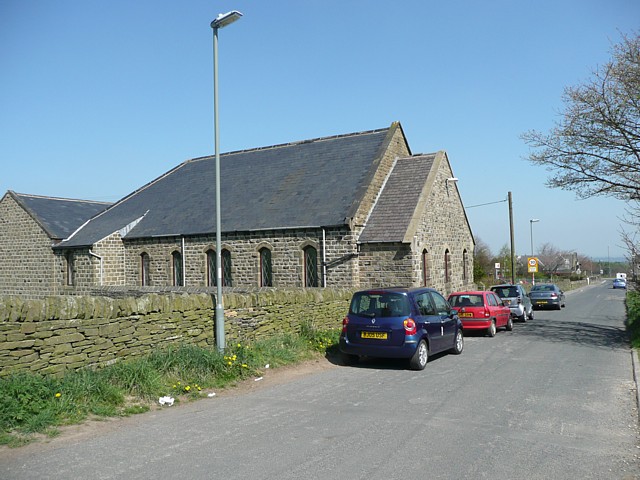
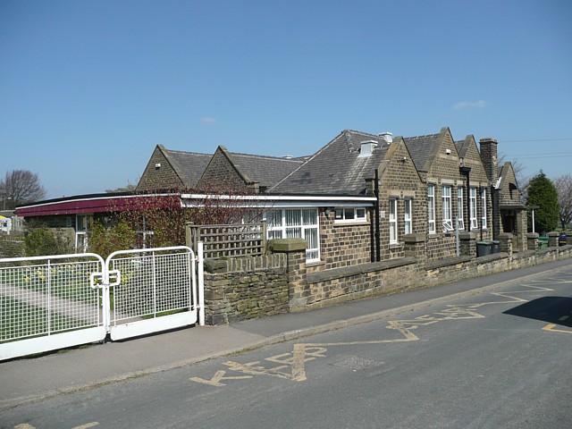
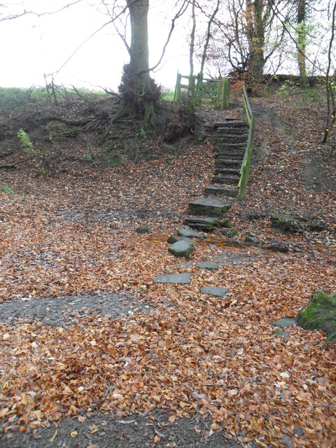
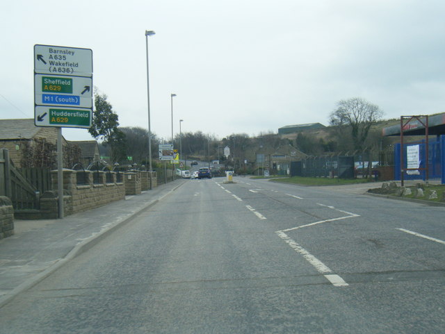
Haddingley Hill Images

Images are sourced within 2km of 53.569559/-1.7241629 or Grid Reference SE1808. Thanks to Geograph Open Source API. All images are credited.

Autumn colour, Upper Cumberworth Whilst exploring a footpath I found that it crosses a field apparently left to nature, with young trees and patches of brambles.  There is a seat behind the tree in the centre of the image, and I thought that this might be a Millennium green, but the nearest ones are at Emley and Clayton West; Upper Cumberworth has a small village garden.
Autumn colour, Upper Cumberworth
Whilst exploring a footpath I found that it crosses a field apparently left to nature, with young trees and patches of brambles. There is a seat behind the tree in the centre of the image, and I thought that this might be a Millennium green, but the nearest ones are at Emley and Clayton West; Upper Cumberworth has a small village garden.
Area of springs, Upper Cumberworth There is water amongst the grass in this area, especially in hollows amongst the birch trees on the other side of the footpath.
Area of springs, Upper Cumberworth
There is water amongst the grass in this area, especially in hollows amongst the birch trees on the other side of the footpath.
Cliffe House, Shepley Photographed during the 2021 artinthehouse event.
Cliffe House, Shepley
Photographed during the 2021 artinthehouse event.
Millennium Gate, Jenkyn Lane, Shepley See <span class="nowrap"><a title="https://www.shepleyvillage.org/village-association-news-august-2014/" rel="nofollow ugc noopener" href="https://www.shepleyvillage.org/village-association-news-august-2014/">Link</a><img style="margin-left:2px;" alt="External link" title="External link - shift click to open in new window" src="https://s1.geograph.org.uk/img/external.png" width="10" height="10"/></span> for a better photograph.
Millennium Gate, Jenkyn Lane, Shepley
See LinkExternal link for a better photograph.
Part of the Millennium Gate, Jenkyn Lane, Shepley This is a revisit to the first geograph for the square: <a href="https://www.geograph.org.uk/photo/81818">SE1809 : Ornate Gateway on the Kirklees Way</a> taken in June 2005. I litter bin has been provided and the foot gate now has a sign asking people to keep to the public footpath.
Part of the Millennium Gate, Jenkyn Lane, Shepley
This is a revisit to the first geograph for the square: SE1809 : Ornate Gateway on the Kirklees Way taken in June 2005. I litter bin has been provided and the foot gate now has a sign asking people to keep to the public footpath.
Old milestone On the A635 from Shepley Lane Head down into New Mills and Holmfirth is a West Riding CC 19C milestone which is the last in the series east from Greenfield which used to be in Yorkshire.  The tollroad from Greenfield to Shepley Lane Head was first enacted in 1823. The milestone is opposite Gate Foot Lane and a pub.   This used to be the Crossroads PH then renamed Toss 'o Coin now derelict.   This metal attachment has the name of the foundry on the bevel, Brayshaw & Booth/Makers/Liversedge.  The stone is painted black.  Grade II listed 1313617.
Old milestone
On the A635 from Shepley Lane Head down into New Mills and Holmfirth is a West Riding CC 19C milestone which is the last in the series east from Greenfield which used to be in Yorkshire. The tollroad from Greenfield to Shepley Lane Head was first enacted in 1823. The milestone is opposite Gate Foot Lane and a pub. This used to be the Crossroads PH then renamed Toss 'o Coin now derelict. This metal attachment has the name of the foundry on the bevel, Brayshaw & Booth/Makers/Liversedge. The stone is painted black. Grade II listed 1313617.
Toll Bar Cottage, Shepley Former Toll House on the Eastern side of Lane Head Road (A629). Known as Bar House 1859.  
It served the Huddersfield & Penistone Turnpike Trust in the 18ᵗʰ & 19ᵗʰ C.

Milestone Society National ID: YW.SHE
Toll Bar Cottage, Shepley
Former Toll House on the Eastern side of Lane Head Road (A629). Known as Bar House 1859. It served the Huddersfield & Penistone Turnpike Trust in the 18ᵗʰ & 19ᵗʰ C. Milestone Society National ID: YW.SHE
Mill at Birds Edge Early 19th century textile mill and pond.
Mill at Birds Edge
Early 19th century textile mill and pond.
Wesleyan Reform Chapel, Birds Edge Lane, Denby
Primary School, Birds Edge, Denby This presumably also serves Upper Cumberworth and the many scattered houses in the surrounding area.
Primary School, Birds Edge, Denby
This presumably also serves Upper Cumberworth and the many scattered houses in the surrounding area.
Stone Wood Dike, near Shepley Stepping stones over Stone Wood Dike.
Stone Wood Dike, near Shepley
Stepping stones over Stone Wood Dike.
A635 Penistone Road
A635 Penistone Road
A635 Penistone Road
A635 Penistone Road
A635 Holmfirth Road, Shepley
A629 Lane Head Road
A629 Lane Head Road
Track along Cheese Gate Nab Looking westward.
Track along Cheese Gate Nab
Looking westward.
Birds Nest Lane Looking westward from near Potters Gate House.
Birds Nest Lane
Looking westward from near Potters Gate House.
Birds Nest Lane approaching Potters Gate Looking eastward. The water in the distance is Broadstone Reservoir which originally was part of Dewsbury and Heckmondwike Water Works but is now owned by a consortium of infrastructure funds. How times change.
Birds Nest Lane approaching Potters Gate
Looking eastward. The water in the distance is Broadstone Reservoir which originally was part of Dewsbury and Heckmondwike Water Works but is now owned by a consortium of infrastructure funds. How times change.
Show me another place!

Haddingley Hill is located at Grid Ref: SE1808 (Lat: 53.569559, Lng: -1.7241629)

Division: West Riding

Unitary Authority: Kirklees

Police Authority: West Yorkshire

What 3 Words

///hails.laughs.squares. Near Shepley, West Yorkshire

Related Wikis

A635 road

The A635 is a main road that runs between Manchester and Doncaster running east–west through Stalybridge, Saddleworth Moor, Holmfirth, Barnsley and the...

Shepley

Shepley is a village in the civil parish of Kirkburton, in Kirklees, West Yorkshire, England. It lies 8 miles (13 km) south south east of Huddersfield...

New Mill, West Yorkshire

New Mill, West Yorkshire, England, is a small, semi-rural village near the town of Holmfirth. It is in the metropolitan borough of Kirklees and the civil...

Birdsedge

Birdsedge (or Birds Edge) is a small village in the borough of Kirklees in West Yorkshire, England, on the edge of Yorkshire's Pennine Hills, standing...

Nearby Amenities

Located within 500m of 53.569559,-1.7241629
Barrier: block
Foot: yes
Material: stone
Lat/Long: 53.5714679/-1.7262361
Deershaw
Place: locality
Lat/Long: 53.5692522/-1.7278781
Gate Foot
Place: hamlet
Lat/Long: 53.5727532/-1.7258824
Brown Hill
Place: locality
Source: OSODSV
Lat/Long: 53.5672699/-1.7276875
Krishan's Stone
Historic: memorial
Material: stone
Note: Large memorial stone to Krishan Hurst (21st July 1986 - 23rd September 1993)
Lat/Long: 53.5727969/-1.7244155
Parking
Capacity: 3
Lat/Long: 53.5725527/-1.7231156
Barrier: stile
Stile: stepover
Lat/Long: 53.5701712/-1.7247713
Barrier: stile
Stile: stepover
Lat/Long: 53.570697/-1.7253839
Barrier: stile
Step Count: 1
Stile: stepover
Lat/Long: 53.5713004/-1.7260753
Barrier: stile
Step Count: 1
Stile: stepover
Lat/Long: 53.5732397/-1.7244882
The data included in this document is from www.openstreetmap.org. The data is made available under ODbL.

Have you been to Haddingley Hill?

Leave your review of Haddingley Hill below (or comments, questions and feedback).