Anchor Hill
Hill, Mountain in Yorkshire
England
Anchor Hill
Anchor Hill is a prominent geographical feature located in the county of Yorkshire, England. Situated in the northern part of the county, this hill is an integral part of the landscape, offering breathtaking views and a rich history.
Rising to an elevation of approximately 440 meters (1,440 feet), Anchor Hill is classified as a hill rather than a mountain due to its lower height. However, its grandeur and distinct shape make it a notable landmark in the region. The hill is characterized by steep slopes and rocky outcrops, providing a challenging terrain for hikers and climbers.
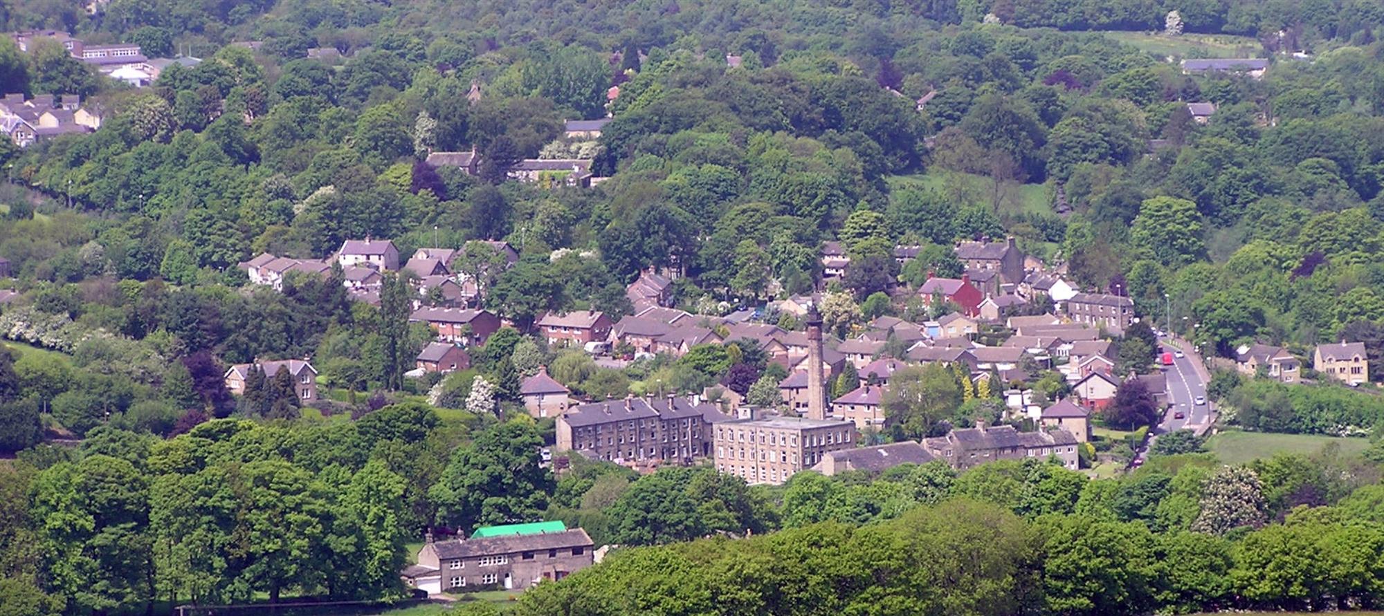
Located in the Yorkshire Dales National Park, Anchor Hill is surrounded by an abundance of natural beauty. The hill is enveloped by rolling hills, lush meadows, and picturesque valleys, creating a scenic backdrop for visitors and locals alike. The summit of Anchor Hill offers panoramic views of the surrounding countryside, with glimpses of other notable landmarks such as Ingleborough and Pen-y-ghent.
Aside from its natural beauty, Anchor Hill is steeped in history. The hill has been a site of human activity for centuries, with evidence of ancient settlements and burial mounds in the vicinity. It has also played a role in local folklore and legends, adding to its intrigue and mystique.
As a popular attraction for outdoor enthusiasts, Anchor Hill offers various recreational activities such as hiking, mountain biking, and birdwatching. The hill attracts visitors throughout the year, with its changing seasons adding to its allure. Whether it be for an adventurous climb or a peaceful stroll, Anchor Hill is a must-visit destination for those seeking a connection with nature and a glimpse into Yorkshire's rich heritage.
If you have any feedback on the listing, please let us know in the comments section below.
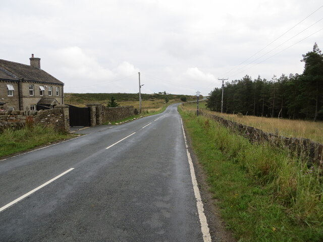
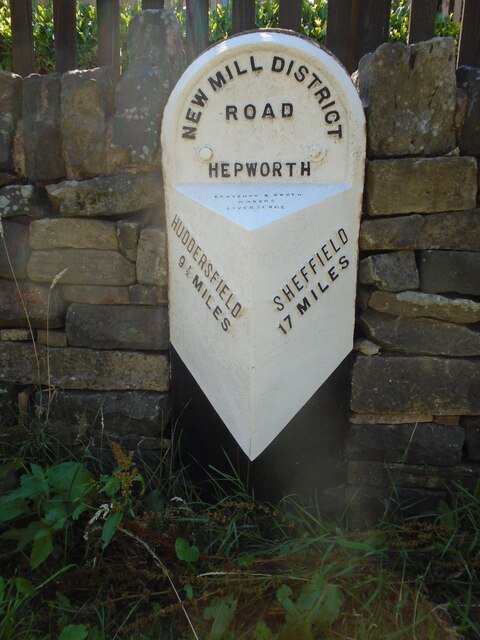
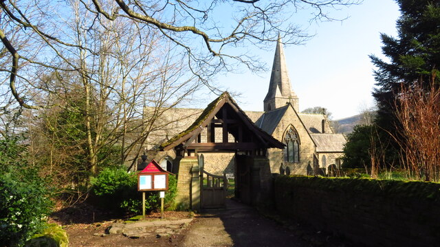
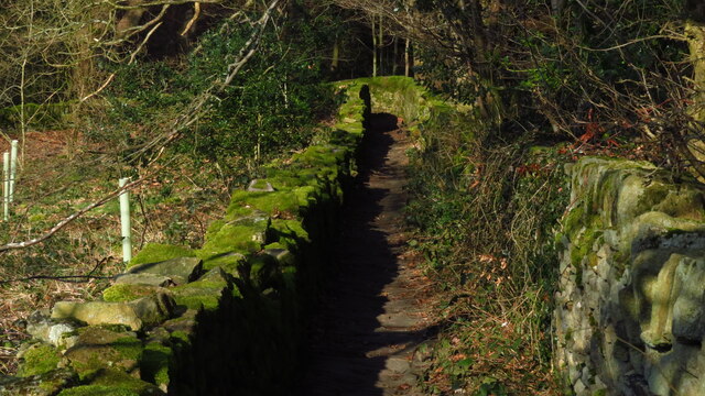
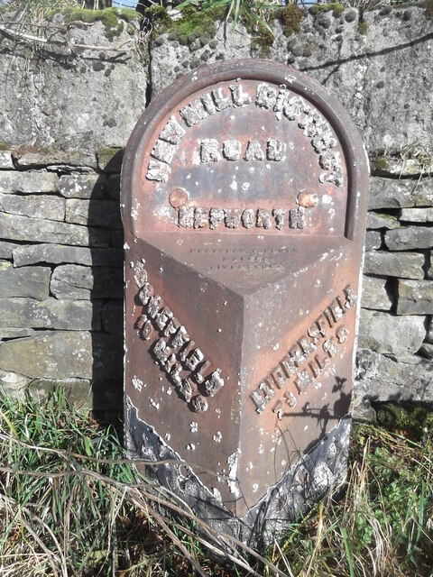
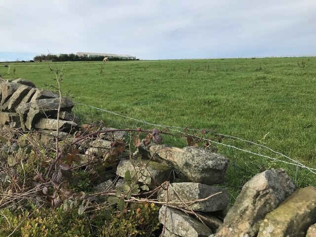
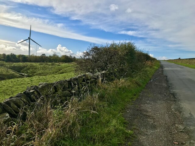
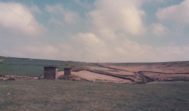
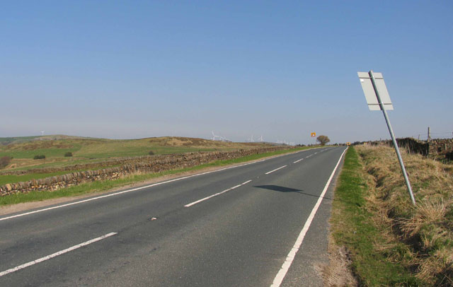
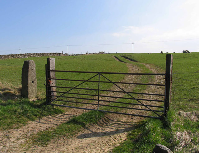
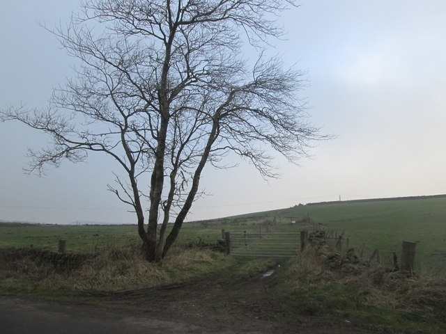
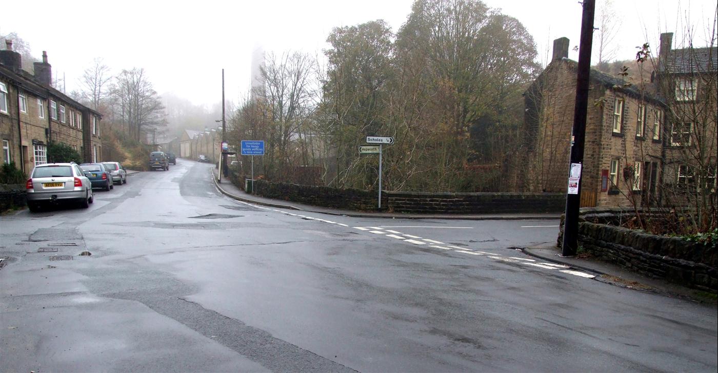
Anchor Hill Images
Images are sourced within 2km of 53.552234/-1.7301922 or Grid Reference SE1706. Thanks to Geograph Open Source API. All images are credited.


Anchor Hill is located at Grid Ref: SE1706 (Lat: 53.552234, Lng: -1.7301922)
Division: West Riding
Unitary Authority: Kirklees
Police Authority: West Yorkshire
What 3 Words
///nothing.resurgent.lucky. Near Shepley, West Yorkshire
Nearby Locations
Related Wikis

Barnside
Barnside is a hamlet on Barnside Lane approximately 3/4 mile to the southeast of Hepworth in West Yorkshire, England. It is in the civic parish of Holme...

Crow Edge
Crow Edge is a hamlet in Dunford civil parish, situated on the A616, two miles southeast of Hepworth, West Yorkshire in the metropolitan borough of Barnsley...

Hepworth, West Yorkshire
Hepworth is a village and former civil parish, now in the parish of Holme Valley, in the metropolitan borough of Kirklees, in West Yorkshire, England....

Scholes, Holme Valley
Scholes is a village and former civil parish, now in the parish of Holme Valley, in Kirklees, West Yorkshire, England. It is situated 1 mile (2 km) to...
Jackson Bridge
Jackson Bridge is a small village in the civil parish of Holme Valley in the Metropolitan Borough of Kirklees in West Yorkshire, England and within the...

A635 road
The A635 is a main road that runs between Manchester and Doncaster running east–west through Stalybridge, Saddleworth Moor, Holmfirth, Barnsley and the...
New Mill, West Yorkshire
New Mill, West Yorkshire, England, is a small, semi-rural village near the town of Holmfirth. It is in the metropolitan borough of Kirklees and the civil...

Birdsedge
Birdsedge (or Birds Edge) is a small village in the borough of Kirklees in West Yorkshire, England, on the edge of Yorkshire's Pennine Hills, standing...
Nearby Amenities
Located within 500m of 53.552234,-1.7301922Have you been to Anchor Hill?
Leave your review of Anchor Hill below (or comments, questions and feedback).