Pennyoaks Hill

Hill, Mountain in Yorkshire

England

Pennyoaks Hill

Polish Anna, Oastler Centre, Bradford This stencilled artwork, by the Bristol artist Stewy, was installed about April 2021, on the outside wall of the Oastler Centre. It is on the wall facing Northgate, very near the corner with John Street.
Polish Anna was a well known character around Bradford markets in the 1970's and 80's, when I lived in Bradford. I remember seeing her often, always with badges on her clothes, usually with a Morrisons carrier bag (faithfully reproduced here), a loud deep singing voice and with a stick. The story I heard was that she was a Pole who had been incarcerated in one of the Nazi concentration camps in WW2, and had been subjected to medical experiments by doctors there. My neighbour, who knew her better, said she was very kind to children, was very strong - when drunk it was known that 3 or 4 policemen were needed to control her.
The Bradford Telegraph and Argus ran some articles of people's memories of Anna - on Sept 22 2020 <span class="nowrap"><a title="https://www.thetelegraphandargus.co.uk/news/18736913.remarkable-images-bradfords-old-anna/" rel="nofollow ugc noopener" href="https://www.thetelegraphandargus.co.uk/news/18736913.remarkable-images-bradfords-old-anna/">Link</a><img style="margin-left:2px;" alt="External link" title="External link - shift click to open in new window" src="https://s1.geograph.org.uk/img/external.png" width="10" height="10"/></span> Oct 7 2020 <span class="nowrap"><a title="https://www.thetelegraphandargus.co.uk/news/18774268.readers-uncover-old-annas-story/" rel="nofollow ugc noopener" href="https://www.thetelegraphandargus.co.uk/news/18774268.readers-uncover-old-annas-story/">Link</a><img style="margin-left:2px;" alt="External link" title="External link - shift click to open in new window" src="https://s1.geograph.org.uk/img/external.png" width="10" height="10"/></span> 
See also this Telegraph and Argus article from Apr 2021 about the 4 artworks by Stewy in central Bradford <span class="nowrap"><a title="https://www.thetelegraphandargus.co.uk/news/19239397.polish-anna-among-bradford-icons-celebrated-street-art-project/" rel="nofollow ugc noopener" href="https://www.thetelegraphandargus.co.uk/news/19239397.polish-anna-among-bradford-icons-celebrated-street-art-project/">Link</a><img style="margin-left:2px;" alt="External link" title="External link - shift click to open in new window" src="https://s1.geograph.org.uk/img/external.png" width="10" height="10"/></span>
Polish Anna, Oastler Centre, Bradford Credit: Rich Tea

Pennyoaks Hill is a prominent geographical feature located in Yorkshire, England. Rising to an elevation of 450 meters above sea level, it is considered a hill rather than a mountain due to its relatively modest height. The hill is known for its picturesque views of the surrounding countryside, with rolling green fields and scattered woodlands stretching out as far as the eye can see.

Pennyoaks Hill is a popular destination for hikers and nature enthusiasts, offering a network of trails and paths that wind their way up to the summit. Along the way, visitors can expect to encounter a variety of flora and fauna, including wildflowers, birds, and possibly even grazing sheep.

At the top of Pennyoaks Hill, visitors are rewarded with stunning panoramic views of the Yorkshire Dales and the nearby towns and villages. On clear days, it is possible to see all the way to the distant peaks of the Pennines. The hill is also a great spot for picnicking or simply taking in the peaceful surroundings.

Overall, Pennyoaks Hill is a beautiful natural landmark that showcases the beauty of the Yorkshire countryside and provides a peaceful escape from the hustle and bustle of everyday life.

If you have any feedback on the listing, please let us know in the comments section below.

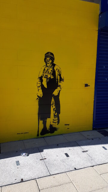
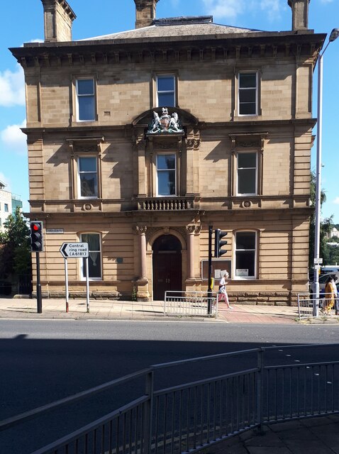
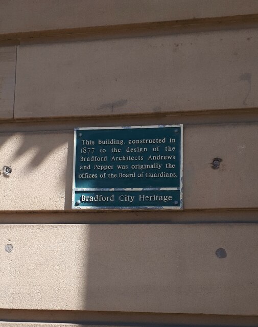
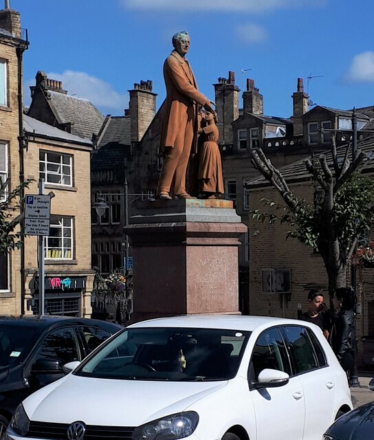
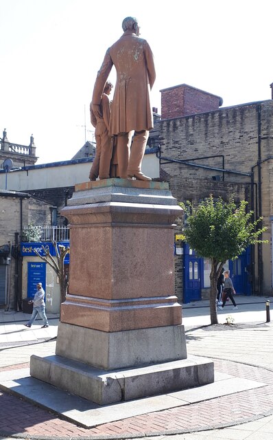
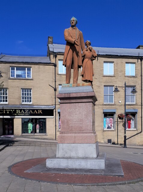
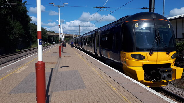
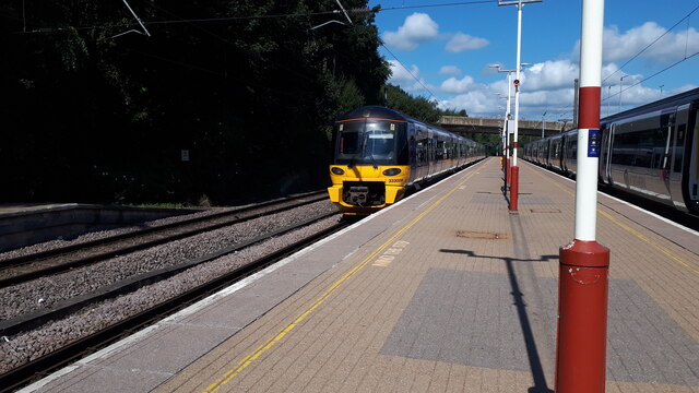
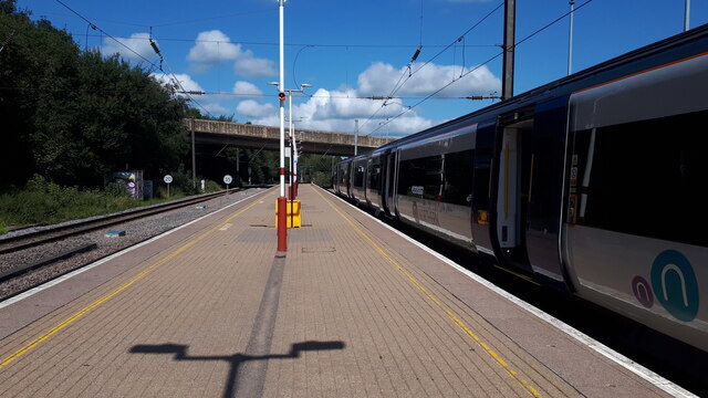
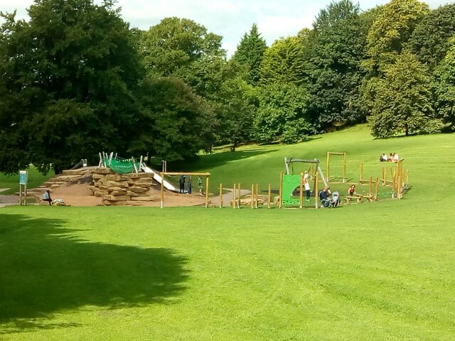
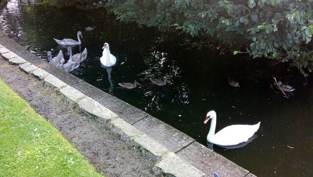
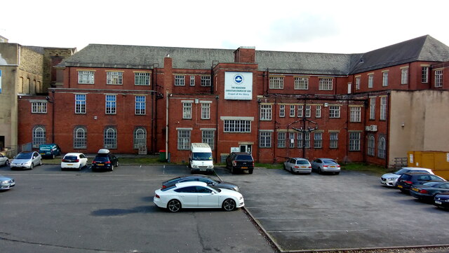
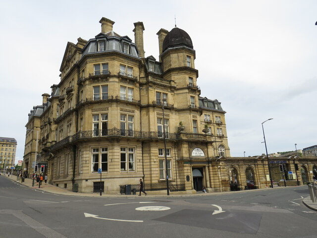
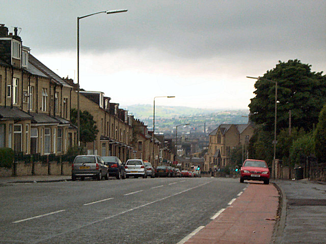
Pennyoaks Hill Images

Images are sourced within 2km of 53.795801/-1.7286481 or Grid Reference SE1733. Thanks to Geograph Open Source API. All images are credited.

Polish Anna, Oastler Centre, Bradford This stencilled artwork, by the Bristol artist Stewy, was installed about April 2021, on the outside wall of the Oastler Centre. It is on the wall facing Northgate, very near the corner with John Street.
Polish Anna was a well known character around Bradford markets in the 1970's and 80's, when I lived in Bradford. I remember seeing her often, always with badges on her clothes, usually with a Morrisons carrier bag (faithfully reproduced here), a loud deep singing voice and with a stick. The story I heard was that she was a Pole who had been incarcerated in one of the Nazi concentration camps in WW2, and had been subjected to medical experiments by doctors there. My neighbour, who knew her better, said she was very kind to children, was very strong - when drunk it was known that 3 or 4 policemen were needed to control her.
The Bradford Telegraph and Argus ran some articles of people's memories of Anna - on Sept 22 2020 <span class="nowrap"><a title="https://www.thetelegraphandargus.co.uk/news/18736913.remarkable-images-bradfords-old-anna/" rel="nofollow ugc noopener" href="https://www.thetelegraphandargus.co.uk/news/18736913.remarkable-images-bradfords-old-anna/">Link</a><img style="margin-left:2px;" alt="External link" title="External link - shift click to open in new window" src="https://s1.geograph.org.uk/img/external.png" width="10" height="10"/></span> Oct 7 2020 <span class="nowrap"><a title="https://www.thetelegraphandargus.co.uk/news/18774268.readers-uncover-old-annas-story/" rel="nofollow ugc noopener" href="https://www.thetelegraphandargus.co.uk/news/18774268.readers-uncover-old-annas-story/">Link</a><img style="margin-left:2px;" alt="External link" title="External link - shift click to open in new window" src="https://s1.geograph.org.uk/img/external.png" width="10" height="10"/></span> 
See also this Telegraph and Argus article from Apr 2021 about the 4 artworks by Stewy in central Bradford <span class="nowrap"><a title="https://www.thetelegraphandargus.co.uk/news/19239397.polish-anna-among-bradford-icons-celebrated-street-art-project/" rel="nofollow ugc noopener" href="https://www.thetelegraphandargus.co.uk/news/19239397.polish-anna-among-bradford-icons-celebrated-street-art-project/">Link</a><img style="margin-left:2px;" alt="External link" title="External link - shift click to open in new window" src="https://s1.geograph.org.uk/img/external.png" width="10" height="10"/></span>
Polish Anna, Oastler Centre, Bradford
This stencilled artwork, by the Bristol artist Stewy, was installed about April 2021, on the outside wall of the Oastler Centre. It is on the wall facing Northgate, very near the corner with John Street. Polish Anna was a well known character around Bradford markets in the 1970's and 80's, when I lived in Bradford. I remember seeing her often, always with badges on her clothes, usually with a Morrisons carrier bag (faithfully reproduced here), a loud deep singing voice and with a stick. The story I heard was that she was a Pole who had been incarcerated in one of the Nazi concentration camps in WW2, and had been subjected to medical experiments by doctors there. My neighbour, who knew her better, said she was very kind to children, was very strong - when drunk it was known that 3 or 4 policemen were needed to control her. The Bradford Telegraph and Argus ran some articles of people's memories of Anna - on Sept 22 2020 LinkExternal link Oct 7 2020 LinkExternal link See also this Telegraph and Argus article from Apr 2021 about the 4 artworks by Stewy in central Bradford LinkExternal link
Former Bradford Register Office building, Manor Row When I lived in Bradford in the 1970's, I attended a wedding here on a very snowy winter's day. The weather had caused chaos in the city, many brides or grooms were delayed, and the timetable was abandoned, with couples being married whenever they were both there. As for myself, I was there in anorak and boots, having helped the groom's family to dig their car out from the snow and getting an invitation once it was moving. I hurriedly got my camera, which was lucky as I was the only person at the wedding with a camera so I became the official photographer.
The Register Office is now at Bradford City Hall, and this building appears to be empty.
See <a href="https://www.geograph.org.uk/photo/6946168">SE1633 : Plaque on the wall of the former Register Office, Manor Row</a>
Former Bradford Register Office building, Manor Row
When I lived in Bradford in the 1970's, I attended a wedding here on a very snowy winter's day. The weather had caused chaos in the city, many brides or grooms were delayed, and the timetable was abandoned, with couples being married whenever they were both there. As for myself, I was there in anorak and boots, having helped the groom's family to dig their car out from the snow and getting an invitation once it was moving. I hurriedly got my camera, which was lucky as I was the only person at the wedding with a camera so I became the official photographer. The Register Office is now at Bradford City Hall, and this building appears to be empty. See SE1633 : Plaque on the wall of the former Register Office, Manor Row
Plaque on the wall of the former Register Office, Manor Row The plaque tells us that the building was constructed in 1877 to the design of Bradford architects Andrews and Pepper and was originally the offices of the Board of Guardians. See <a href="https://www.geograph.org.uk/photo/6946164">SE1633 : Former Bradford Register Office building, Manor Row</a>.
Plaque on the wall of the former Register Office, Manor Row
The plaque tells us that the building was constructed in 1877 to the design of Bradford architects Andrews and Pepper and was originally the offices of the Board of Guardians. See SE1633 : Former Bradford Register Office building, Manor Row.
Statue of Richard Oastler, Oastler Square, Bradford Richard Oastler was an early campaigner for improved conditions in factories, his campaign led to the first Act of Parliament to limit the hours that could be worked by children. He is also one of my distant relatives, descended from my 6xgreat grandfather Sampson Oastler of Kirby Wiske in North Yorkshire.
See Wikipedia article <span class="nowrap"><a title="https://en.wikipedia.org/wiki/Richard_Oastler" rel="nofollow ugc noopener" href="https://en.wikipedia.org/wiki/Richard_Oastler">Link</a><img style="margin-left:2px;" alt="External link" title="External link - shift click to open in new window" src="https://s1.geograph.org.uk/img/external.png" width="10" height="10"/></span>
Statue of Richard Oastler, Oastler Square, Bradford
Richard Oastler was an early campaigner for improved conditions in factories, his campaign led to the first Act of Parliament to limit the hours that could be worked by children. He is also one of my distant relatives, descended from my 6xgreat grandfather Sampson Oastler of Kirby Wiske in North Yorkshire. See Wikipedia article LinkExternal link
Statue of Richard Oastler, Bradford See also <a href="https://www.geograph.org.uk/photo/6946175">SE1633 : Statue of Richard Oastler, Oastler Square, Bradford</a>
Statue of Richard Oastler, Bradford
Statue of Richard Oastler, Oastler Square, Bradford See also <a href="https://www.geograph.org.uk/photo/6946175">SE1633 : Statue of Richard Oastler, Oastler Square, Bradford</a>
Statue of Richard Oastler, Oastler Square, Bradford
The 12:00 train to Leeds, platform 1 Forster Square station My train to Leeds, one of 3 waiting at Platform 1. The bridge in the background carries Hamm Strasse over the railway lines.
See Wikipedia <span class="nowrap"><a title="https://en.wikipedia.org/wiki/Bradford_Forster_Square_railway_station" rel="nofollow ugc noopener" href="https://en.wikipedia.org/wiki/Bradford_Forster_Square_railway_station">Link</a><img style="margin-left:2px;" alt="External link" title="External link - shift click to open in new window" src="https://s1.geograph.org.uk/img/external.png" width="10" height="10"/></span>
The 12:00 train to Leeds, platform 1 Forster Square station
My train to Leeds, one of 3 waiting at Platform 1. The bridge in the background carries Hamm Strasse over the railway lines. See Wikipedia LinkExternal link
Forster Square Station, Bradford The 11:46 train to Ilkley leaving from platform 2, the 12:00 to Leeds waits at platform 1 on the right.
The bridge in the background carries Hamm Strasse over the railway lines.
See Wikipedia <span class="nowrap"><a title="https://en.wikipedia.org/wiki/Bradford_Forster_Square_railway_station" rel="nofollow ugc noopener" href="https://en.wikipedia.org/wiki/Bradford_Forster_Square_railway_station">Link</a><img style="margin-left:2px;" alt="External link" title="External link - shift click to open in new window" src="https://s1.geograph.org.uk/img/external.png" width="10" height="10"/></span>
Forster Square Station, Bradford
The 11:46 train to Ilkley leaving from platform 2, the 12:00 to Leeds waits at platform 1 on the right. The bridge in the background carries Hamm Strasse over the railway lines. See Wikipedia LinkExternal link
Hamm Strasse bridge from Forster Square station Seen from platform 1, the 12:00 train to Leeds waiting on the right.
Hamm Strasse bridge from Forster Square station
Seen from platform 1, the 12:00 train to Leeds waiting on the right.
Pop-up Cycle Lane on Wakefield Road, Bradford
Lower Playground, Peel Park, Bradford
A Family of Swans on Peel Park Lake, Bradford Mum, dad and four cygnets, plus a few ducks.
A Family of Swans on Peel Park Lake, Bradford
Mum, dad and four cygnets, plus a few ducks.
Old Go-Ahead London Bus Parked in the yard of the former Bradford City Transport, Ludlam Street Bus Depot.
Old Go-Ahead London Bus
Parked in the yard of the former Bradford City Transport, Ludlam Street Bus Depot.
Former Bus Depot, Mill Lane, Bradford The former Bradford City Transport Ludlam Street Depot, which became the West Yorkshire Transport Museum after closure. It has since been (and possibly still is) a car dealership.
Former Bus Depot, Mill Lane, Bradford
The former Bradford City Transport Ludlam Street Depot, which became the West Yorkshire Transport Museum after closure. It has since been (and possibly still is) a car dealership.
Manchester Road, Bradford, with a Pop-Up Cycle Lane When the guided busway was constructed in the middle of Manchester Road, each carriageway was reduced to 2 lanes. Hence the need to use part of the pavement for the cycle lane. Fortunately neither see much use.
Manchester Road, Bradford, with a Pop-Up Cycle Lane
When the guided busway was constructed in the middle of Manchester Road, each carriageway was reduced to 2 lanes. Hence the need to use part of the pavement for the cycle lane. Fortunately neither see much use.
Santander Regional Office, Bradford Built on part of the site of the original Interchange Bus Station, which was a huge unwelcoming structure. Viewed from the entrance to the current, much smaller and more welcoming, bus station.
Santander Regional Office, Bradford
Built on part of the site of the original Interchange Bus Station, which was a huge unwelcoming structure. Viewed from the entrance to the current, much smaller and more welcoming, bus station.
Redeemed Christian Church of God, Nelson Street, Bradford Viewed from Manchester Road. The building was formerly a Labour Exchange / Job Centre.
Redeemed Christian Church of God, Nelson Street, Bradford
Viewed from Manchester Road. The building was formerly a Labour Exchange / Job Centre.
Midland Hotel, Bradford The Midland Hotel in Bradford.  When it was built, the hotel formed part of the frontage of Bradford Midland railway station.  The station was later renamed Bradford Forster Square.  The station was redeveloped in the 1990s, a short distance further back from the hotel.
Midland Hotel, Bradford
The Midland Hotel in Bradford. When it was built, the hotel formed part of the frontage of Bradford Midland railway station. The station was later renamed Bradford Forster Square. The station was redeveloped in the 1990s, a short distance further back from the hotel.
Show me another place!

Pennyoaks Hill is located at Grid Ref: SE1733 (Lat: 53.795801, Lng: -1.7286481)

Division: West Riding

Unitary Authority: Bradford

Police Authority: West Yorkshire

What 3 Words

///salt.trains.zealous. Near Bradford, West Yorkshire

Related Wikis

Leeds Road Fever Hospital

The Leeds Road Fever Hospital in Bradford, West Yorkshire, England, was a founded in 1867. In 1962, it was one of the hospitals that were quarantined...

Holy Trinity Church, Bradford

Holy Trinity Church, Bradford, was an Anglican parish church located in Leeds Road, Bradford, West Yorkshire, England. It was built in 1864–65 to a design...

Shree Lakshmi Narayan Hindu Temple, Bradford

The Shree Lakshmi Narayan Hindu Temple in Bradford, West Yorkshire is the largest Hindu temple (mandir) in Northern England. The temple was designed by...

Barkerend

Barkerend is an inner-city area of Bradford, West Yorkshire, England, east of the city centre and surrounded by Undercliffe Cemetery, Bradford Moor, Laisterdyke...

Nearby Amenities

Located within 500m of 53.795801,-1.7286481
Traffic Signals
Lat/Long: 53.798037/-1.7318972
Place Of Worship
Religion: muslim
Lat/Long: 53.7934212/-1.7283471
Bus Stop
Barkerend Road Webster Street
Bus: yes
Local Ref: 45013532
Naptan AtcoCode: 450013532
Naptan Bearing: SW
Naptan CommonName: Barkerend Road Webster Street
Naptan Crossing: Webster Street
Naptan Indicator: Stop 45013532
Naptan PlusbusZoneRef: LEEDS
Naptan ShortCommonName: Webster Street
Naptan Street: Barkerend Road
Naptan Verified: yes
Public Transport: platform
Ref: 45013532
Source: naptan_import
Lat/Long: 53.7978097/-1.7327712
Place Of Worship
Al-Amin Jame Masjid & Madrasha
Addr City: Bradford
Addr Postcode: BD3 8AG
Addr Street: Al Amin Square
Addr Suburb: Barkerend
Religion: muslim
Lat/Long: 53.7974726/-1.7240215
Doctors
Barkerend Health Centre
Addr City: Bradford
Addr Postcode: BD3 8QH
Addr Street: Barkerend Road
Addr Suburb: Barkerend
Healthcare: doctor
Lat/Long: 53.797869/-1.721886
Bus Stop
Barkerend Road Chelmsford Road
Bus: yes
Local Ref: 45013581
Naptan AtcoCode: 450013581
Naptan Bearing: W
Naptan CommonName: Barkerend Road Chelmsford Road
Naptan Crossing: Chelmsford Road
Naptan Indicator: Stop 45013581
Naptan PlusbusZoneRef: LEEDS
Naptan ShortCommonName: Chelmsford Road
Naptan Street: Barkerend Road
Naptan Verified: yes
Public Transport: platform
Ref: 45013581
Source: naptan_import
Lat/Long: 53.7979153/-1.7231718
Power: substation
Lat/Long: 53.7942117/-1.7353363
Power: substation
Lat/Long: 53.7953909/-1.732162
Post Box
Operator: Royal Mail
Post Box Type: pillar
Ref: BD3 49
Royal Cypher: EVIIR
Royal Cypher Wikidata: Q33102324
Lat/Long: 53.7973983/-1.734359
Bus Stop
Bus: yes
Public Transport: platform
Ref: 45013533
Lat/Long: 53.79765/-1.7339821
Telephone
Booth: KXPlus
Covered: booth
Lat/Long: 53.7971768/-1.7351318
Post Box
Operator: Royal Mail
Ref: BD3 151
Lat/Long: 53.7949034/-1.7351169
Power: substation
Lat/Long: 53.7951282/-1.7254949
Bus Stop
Barkerend Road Bennie Street
Bus: yes
Local Ref: 45013534
Naptan AtcoCode: 450013534
Naptan Bearing: E
Naptan CommonName: Barkerend Road Bennie Street
Naptan Crossing: Bennie Street
Naptan Indicator: Stop 45013534
Naptan PlusbusZoneRef: LEEDS
Naptan ShortCommonName: Bennie Street
Naptan Street: Barkerend Road
Naptan Verified: yes
Public Transport: platform
Ref: 45013534
Source: naptan_import;survey
Lat/Long: 53.7973173/-1.7353289
Bus Stop
Bus: yes
Public Transport: platform
Lat/Long: 53.7923784/-1.7310781
Bus Stop
Bus: yes
Fixme: is this present, or is it a duplicate?
Public Transport: platform
Lat/Long: 53.7924199/-1.7276877
Bus Stop
Leeds Road Myrtle Street
Bus: yes
Local Ref: 45013522
Naptan AtcoCode: 450013522
Naptan Bearing: W
Naptan CommonName: Leeds Road Myrtle Street
Naptan Crossing: Myrtle Street
Naptan Indicator: Stop 45013522
Naptan PlusbusZoneRef: LEEDS
Naptan ShortCommonName: Myrtle Street
Naptan Street: Leeds Road
Naptan Verified: no
Public Transport: platform
Source: naptan_import
Lat/Long: 53.792233/-1.7277289
Bus Stop
Leeds Road Walnut Street
Bus: yes
Local Ref: 45013523
Naptan AtcoCode: 450013523
Naptan Bearing: W
Naptan CommonName: Leeds Road Walnut Street
Naptan Crossing: Walnut Street
Naptan Indicator: Stop 45013523
Naptan Landmark: Unknown
Naptan PlusbusZoneRef: LEEDS
Naptan ShortCommonName: Walnut Street
Naptan Street: Leeds Road
Naptan Verified: no
Public Transport: platform
Source: naptan_import
Lat/Long: 53.7923884/-1.7249195
Bus Stop
Leeds Road Lapage Street
Bus: yes
Local Ref: 45013524
Naptan AtcoCode: 450013524
Naptan Bearing: E
Naptan CommonName: Leeds Road Lapage Street
Naptan Crossing: Lapage Street
Naptan Indicator: Stop 45013524
Naptan PlusbusZoneRef: LEEDS
Naptan ShortCommonName: Lapage Street
Naptan Street: Leeds Road
Naptan Verified: no
Public Transport: platform
Source: naptan_import
Lat/Long: 53.7925915/-1.7233698
Bus Stop
Barkerend Road Silkstone Road
Bus: yes
Local Ref: 45013530
Naptan AtcoCode: 450013530
Naptan Bearing: W
Naptan CommonName: Barkerend Road Silkstone Road
Naptan Crossing: Silkstone Road
Naptan Indicator: Stop 45013530
Naptan Landmark: Community Centre
Naptan PlusbusZoneRef: LEEDS
Naptan ShortCommonName: Silkstone Road
Naptan Street: Barkerend Road
Naptan Verified: no
Public Transport: platform
Source: naptan_import
Lat/Long: 53.7981801/-1.7303321
Bus Stop
Barkerend Road Gilpin Street
Bus: yes
Local Ref: 45013531
Naptan AtcoCode: 450013531
Naptan Bearing: E
Naptan CommonName: Barkerend Road Gilpin Street
Naptan Crossing: Gilpin Street
Naptan Indicator: Stop 45013531
Naptan Landmark: Community Centre
Naptan PlusbusZoneRef: LEEDS
Naptan ShortCommonName: Gilpin Street
Naptan Street: Barkerend Road
Naptan Verified: no
Public Transport: platform
Source: naptan_import
Lat/Long: 53.7982623/-1.7309237
Bus Stop
Leeds Road Steadman Street
Bus: yes
Local Ref: 45013574
Naptan AtcoCode: 450013574
Naptan Bearing: E
Naptan CommonName: Leeds Road Steadman Street
Naptan Crossing: Steadman Street
Naptan Indicator: Stop 45013574
Naptan Landmark: Top Oak Pub
Naptan PlusbusZoneRef: LEEDS
Naptan ShortCommonName: Steadman Street
Naptan Street: Leeds Road
Naptan Verified: no
Public Transport: platform
Source: naptan_import
Lat/Long: 53.7923031/-1.7309163
Bus Stop
Leeds Road Cracoe Road
Bus: yes
Local Ref: 45013575
Naptan AtcoCode: 450013575
Naptan Bearing: W
Naptan CommonName: Leeds Road Cracoe Road
Naptan Crossing: Cracoe Road
Naptan Indicator: Stop 45013575
Naptan PlusbusZoneRef: LEEDS
Naptan ShortCommonName: Cracoe Road
Naptan Street: Leeds Road
Naptan Verified: no
Public Transport: platform
Source: naptan_import
Lat/Long: 53.7921841/-1.7299607
Bus Stop
Leeds Road Gladstone Street
Bus: yes
Local Ref: 45013576
Naptan AtcoCode: 450013576
Naptan Bearing: E
Naptan CommonName: Leeds Road Gladstone Street
Naptan Crossing: Gladstone Street
Naptan Indicator: Stop 45013576
Naptan Landmark: Unknown
Naptan PlusbusZoneRef: LEEDS
Naptan ShortCommonName: Gladstone Street
Naptan Street: Leeds Road
Naptan Verified: no
Public Transport: platform
Source: naptan_import
Lat/Long: 53.7923763/-1.7275154
Bus Stop
Barkerend Road Amberley Street
Bus: yes
Local Ref: 45013582
Naptan AtcoCode: 450013582
Naptan Bearing: E
Naptan CommonName: Barkerend Road Amberley Street
Naptan Crossing: Amberley Street
Naptan Indicator: Stop 45013582
Naptan Landmark: La Page Middle School
Naptan PlusbusZoneRef: LEEDS
Naptan ShortCommonName: Amberley Street
Naptan Street: Barkerend Road
Naptan Verified: no
Public Transport: platform
Source: naptan_import
Lat/Long: 53.7980217/-1.7239262
Bus Stop
Barkerend Road Fitzroy Road
Bus: yes
Local Ref: 45013583
Naptan AtcoCode: 450013583
Naptan Bearing: W
Naptan CommonName: Barkerend Road Fitzroy Road
Naptan Crossing: Fitzroy Road
Naptan Indicator: Stop 45013583
Naptan PlusbusZoneRef: LEEDS
Naptan ShortCommonName: Fitzroy Road
Naptan Street: Barkerend Road
Naptan Verified: no
Public Transport: platform
Source: naptan_import
Lat/Long: 53.7981271/-1.7267798
Bus Stop
Barkerend Road Fitzroy Road
Bus: yes
Local Ref: 45013584
Naptan AtcoCode: 450013584
Naptan Bearing: E
Naptan CommonName: Barkerend Road Fitzroy Road
Naptan Crossing: Fitzroy Road
Naptan Indicator: Stop 45013584
Naptan PlusbusZoneRef: LEEDS
Naptan ShortCommonName: Fitzroy Road
Naptan Street: Barkerend Road
Naptan Verified: no
Public Transport: platform
Source: naptan_import
Lat/Long: 53.7982632/-1.7273406
Bus Stop
Thursby Street Maudsley Street
Bus: yes
Local Ref: 45023578
Naptan AtcoCode: 450023578
Naptan Bearing: NE
Naptan CommonName: Thursby Street Maudsley Street
Naptan Crossing: Maudsley Street
Naptan Indicator: Stop 45023578
Naptan Landmark: Mosque
Naptan PlusbusZoneRef: LEEDS
Naptan ShortCommonName: Maudsley Street
Naptan Street: Thursby Street
Naptan Verified: yes
Public Transport: platform
Ref: 45023578
Source: naptan_import
Lat/Long: 53.7944783/-1.7349709
Bus Stop
Thursby Street Harewood Street
Bus: yes
Local Ref: 45023579
Naptan AtcoCode: 450023579
Naptan Bearing: SW
Naptan CommonName: Thursby Street Harewood Street
Naptan Crossing: Harewood Street
Naptan Indicator: Stop 45023579
Naptan PlusbusZoneRef: LEEDS
Naptan ShortCommonName: Harewood Street
Naptan Street: Thursby Street
Naptan Verified: yes
Public Transport: platform
Ref: 45023579
Source: naptan_import
Lat/Long: 53.7953982/-1.7323235
Bus Stop
Harewood Street Bakerend Road
Bus: yes
Local Ref: 45023580
Naptan AtcoCode: 450023580
Naptan Bearing: SE
Naptan CommonName: Harewood Street Bakerend Road
Naptan Crossing: Bakerend Road
Naptan Indicator: Stop 45023580
Naptan Landmark: Lidl Supermarket
Naptan PlusbusZoneRef: LEEDS
Naptan ShortCommonName: Bakerend Road
Naptan Street: Harewood Street
Naptan Verified: yes
Public Transport: platform
Ref: 45023580
Source: naptan_import
Lat/Long: 53.7967825/-1.7356666
Harewood Road Barkerend Road
Local Ref: 45027747
Naptan AtcoCode: 450027747
Naptan Bearing: NW
Naptan BusStopType: CUS
Naptan CommonName: Harewood Road Barkerend Road
Naptan Crossing: Barkerend Road
Naptan Indicator: Stop 45027747
Naptan Notes: Dummy stop to support the BD status of asset 23580
Naptan PlusbusZoneRef: LEEDS
Naptan ShortCommonName: Barkerend Road
Naptan Street: Harewood Road
Naptan Verified: no
Source: naptan_import
Lat/Long: 53.7966929/-1.7357886
Bus Stop
Thursby Street Harewood Street
Bus: yes
Local Ref: 45051287
Naptan AtcoCode: 450051287
Naptan Bearing: NE
Naptan BusStopType: CUS
Naptan CommonName: Thursby Street Harewood Street
Naptan Indicator: Stop 45051287
Naptan PlusbusZoneRef: LEEDS
Naptan ShortCommonName: Thursby Street
Naptan Street: Thursby Street
Naptan Verified: no
Public Transport: platform
Source: naptan_import
Lat/Long: 53.7954612/-1.7323687
Fuel
Addr City: Bradford
Addr Postcode: BD3 9SB
Addr Street: Leeds Road
Brand: Shell
Brand Wikidata: Q110716465
Opening Hours: 24/7
Phone: +44 1274 731337
Ref Navads: NVDS353_10019706
Website: https://find.shell.com/gb/fuel/10019706-bradford-service-station
Lat/Long: 53.7920699/-1.7321442
Shop: convenience
Lat/Long: 53.7920794/-1.7323642
Barrier: bollard
Lat/Long: 53.7979468/-1.733569
Shop: convenience
Lat/Long: 53.7975838/-1.7318029
Crossing
Crossing: traffic_signals
Crossing Ref: toucan
Lat/Long: 53.7973953/-1.7346172
Telephone
Booth: KXPlus
Covered: booth
Lat/Long: 53.7971553/-1.7351523
Atm
Lat/Long: 53.7968725/-1.7356412
Post Office
Barkerend Road Post Office
Addr City: Bradford
Addr Housenumber: 266
Addr Postcode: BD3 9DB
Addr Street: Barkerend Road
Brand: Post Office
Brand Wikidata: Q1783168
Opening Hours: Mo-Fr 07:30-20:00; Sa 08:30-20:00; Su 09:00-20:00
Ref Pol Id: 134369
Source: pol_branch_list_2018-02;survey
Website: https://www.postoffice.co.uk/branch-finder/377306x/barkerend-road
Lat/Long: 53.7973/-1.73438
Barrier: bollard
Lat/Long: 53.7963084/-1.7290067
Parking
Parking: surface
Lat/Long: 53.7991084/-1.7309222
Crossing
Crossing: marked
Crossing Island: no
Tactile Paving: yes
Lat/Long: 53.7981849/-1.7241346
Crossing
Crossing: marked
Crossing Island: no
Tactile Paving: yes
Lat/Long: 53.7982345/-1.7239882
Post Box
Operator: Royal Mail
Post Box Type: pillar
Royal Cypher: EVIIR
Royal Cypher Wikidata: Q33102324
Lat/Long: 53.7981208/-1.7270733
Mini Roundabout
Direction: clockwise
Lat/Long: 53.7985819/-1.7228675
Mini Roundabout
Lat/Long: 53.7984627/-1.7236846
Barrier: yes
Foot: yes
Lat/Long: 53.7935404/-1.7226075
Attock Park Community Orchard
Garden Type: community
Leisure: garden
Lat/Long: 53.7946104/-1.7255755
The data included in this document is from www.openstreetmap.org. The data is made available under ODbL.

Have you been to Pennyoaks Hill?

Leave your review of Pennyoaks Hill below (or comments, questions and feedback).