Coleman's Hill
Hill, Mountain in Gloucestershire Cotswold
England
Coleman's Hill
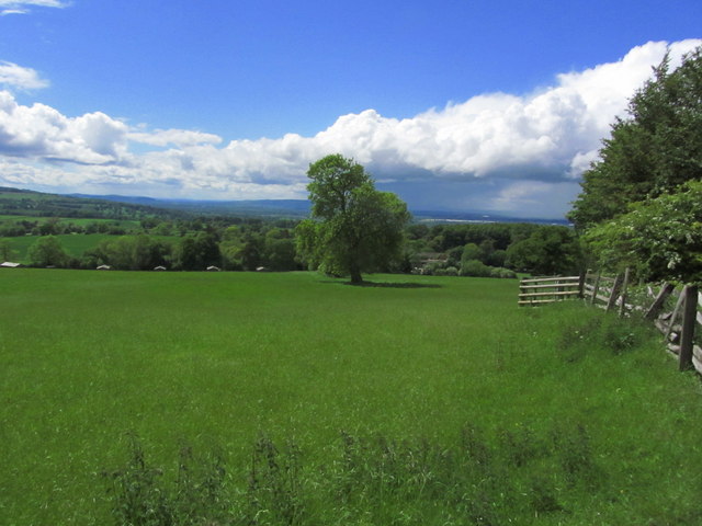
Coleman's Hill is a prominent geographical feature located in the county of Gloucestershire, England. Situated near the village of Alveston, this hill is a popular destination for outdoor enthusiasts and nature lovers. The elevation of Coleman's Hill stands at approximately 120 meters (394 feet), making it a notable landmark in the surrounding area.
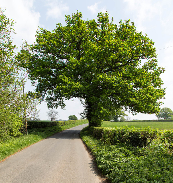
The hill offers breathtaking panoramic views of the picturesque countryside, including the rolling hills and lush green fields that characterize Gloucestershire's landscape. Its strategic location provides visitors with an ideal vantage point to admire the beauty of the Severn Vale and the River Severn, which flows majestically through the region.
Covered in a diverse range of vegetation, Coleman's Hill boasts an array of flora and fauna, making it an attractive spot for wildlife enthusiasts. The hill is home to various species of birds, mammals, and insects, providing ample opportunities for birdwatching and nature photography.
In addition to its natural beauty, Coleman's Hill also holds historical significance. It is believed to have been named after a local family who once owned the land. Archaeological evidence suggests that the hill was inhabited during the Iron Age, with remnants of ancient settlements and defensive structures discovered in the area.
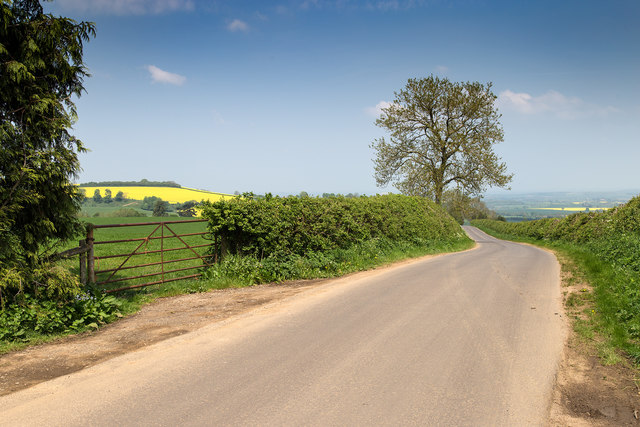
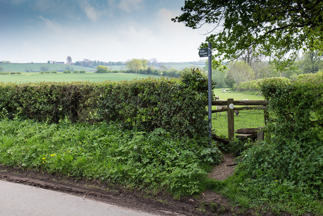
For those seeking outdoor activities, Coleman's Hill offers several walking trails and paths, allowing visitors to explore its scenic surroundings. The hill's accessibility and proximity to nearby villages make it a popular destination for locals and tourists alike, providing a serene escape from the hustle and bustle of city life.
Overall, Coleman's Hill in Gloucestershire stands as a captivating natural landmark, offering a blend of natural beauty, historical significance, and recreational opportunities for all who venture to its slopes.
If you have any feedback on the listing, please let us know in the comments section below.
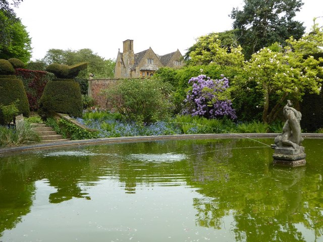
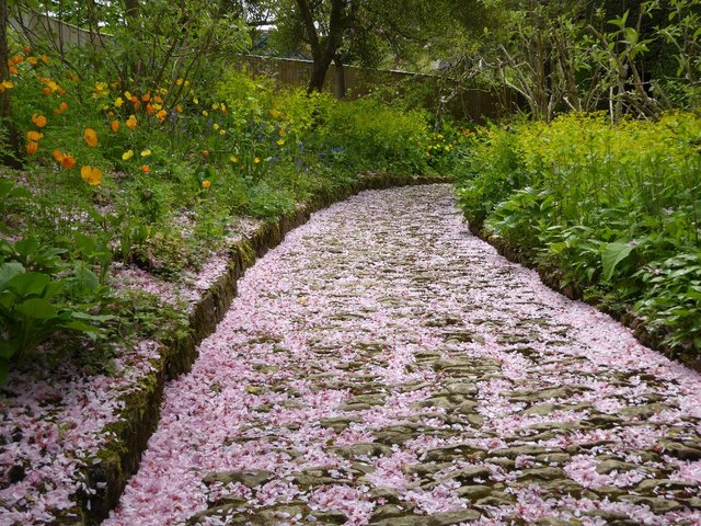
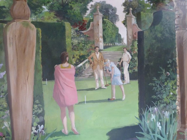
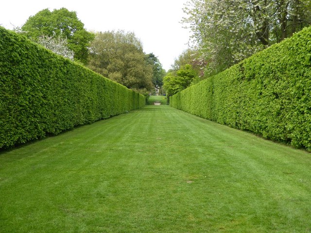
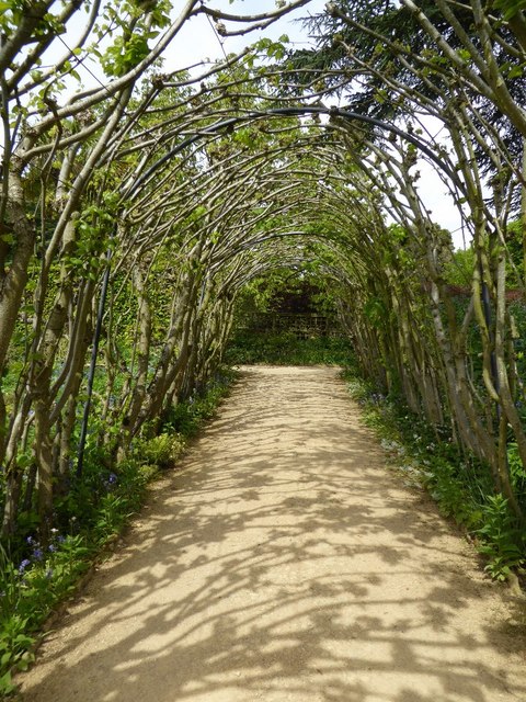
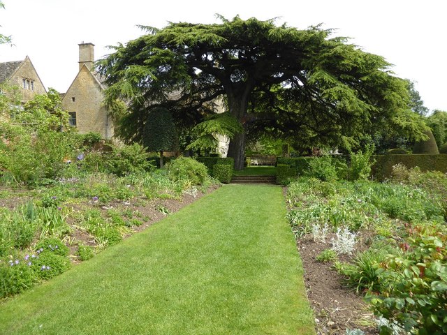
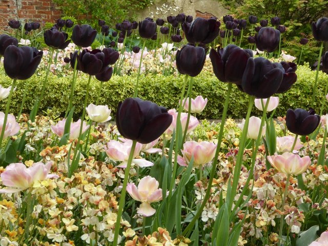
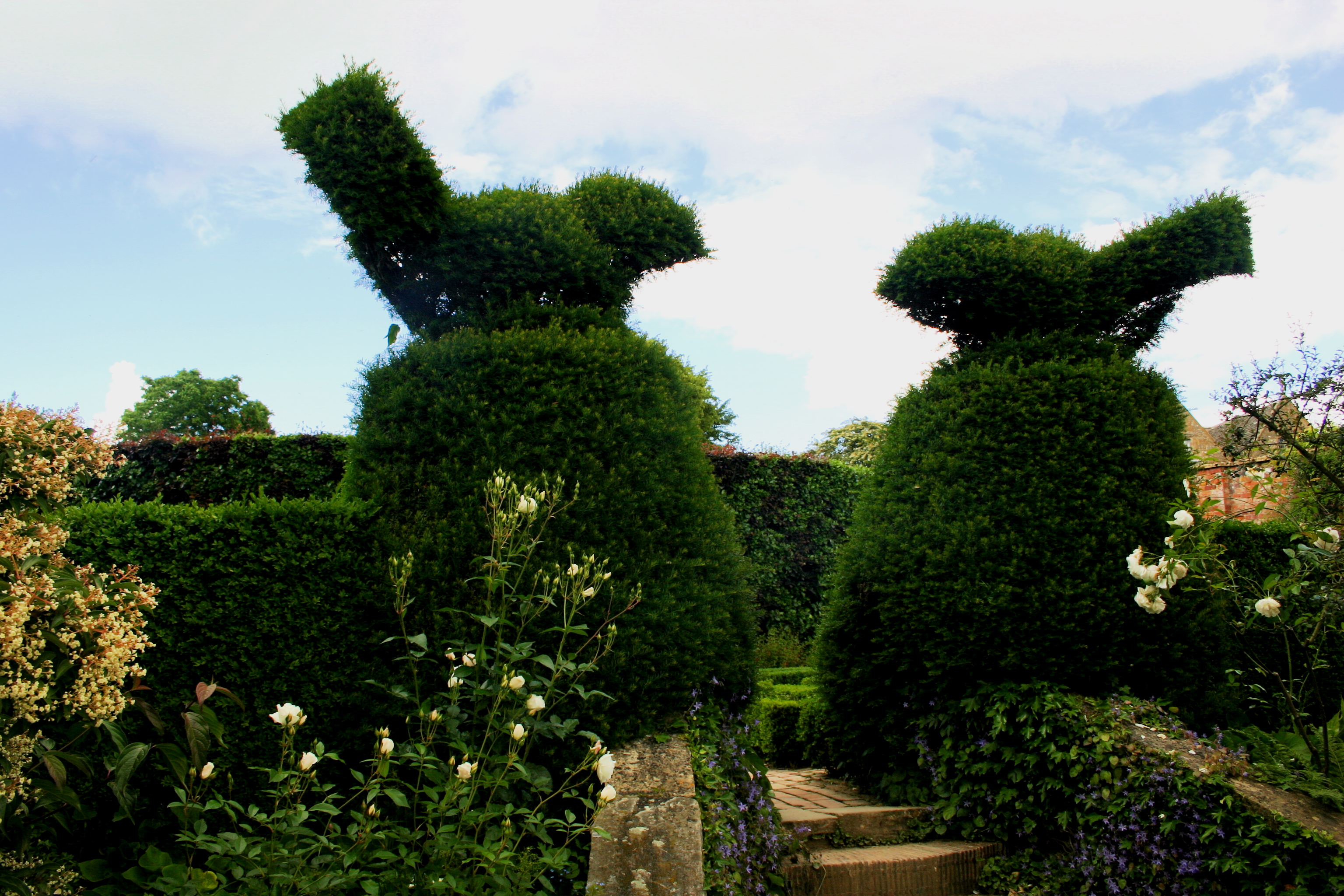
Coleman's Hill Images
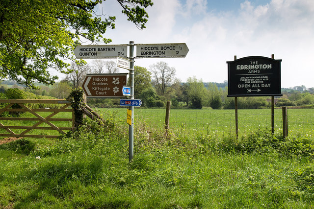
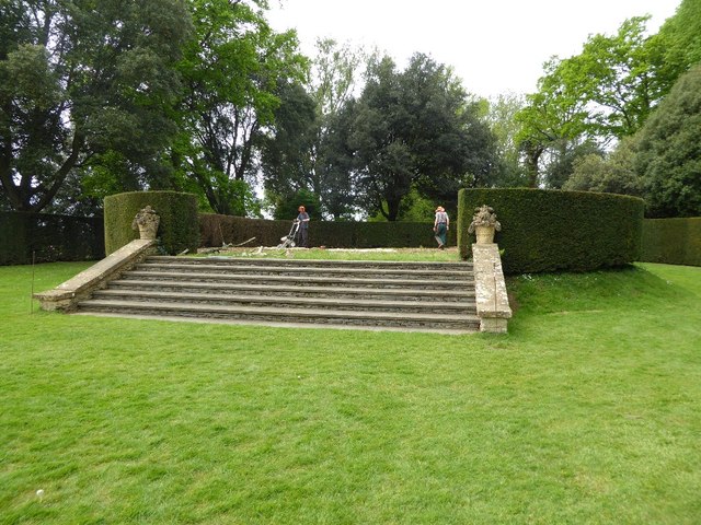
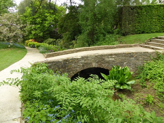
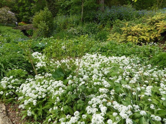
Images are sourced within 2km of 52.09194/-1.7422906 or Grid Reference SP1743. Thanks to Geograph Open Source API. All images are credited.


Coleman's Hill is located at Grid Ref: SP1743 (Lat: 52.09194, Lng: -1.7422906)
Administrative County: Gloucestershire
District: Cotswold
Police Authority: Gloucestershire
What 3 Words
///rags.waddled.homework. Near Mickleton, Gloucestershire
Nearby Locations
Related Wikis
Hidcote Manor Garden
Hidcote Manor Garden is a garden in the United Kingdom, located at the village of Hidcote Bartrim, near Chipping Campden, Gloucestershire. It is one of...
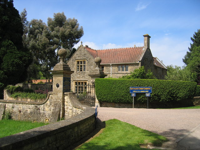
Kiftsgate Court Gardens
Kiftsgate Court Gardens is situated above the village of Mickleton in the county of Gloucestershire, England, in the far north of the county close to the...
Hidcote Bartrim
Hidcote Bartrim is a hamlet and former civil parish, now in the parish of Ebrington, in the Cotswold district of Gloucestershire, England. The nearest...
Touch FM (Stratford-upon-Avon)
102 Touch FM was an Independent Local Radio station broadcasting to the town of Stratford-upon-Avon and much of the counties of Warwickshire, Worcestershire...

Ebrington Hill
Ebrington Hill is a hill in Warwickshire, England, which at 261 m (856 ft) is the highest in the county. It is situated between the villages of Ebrington...
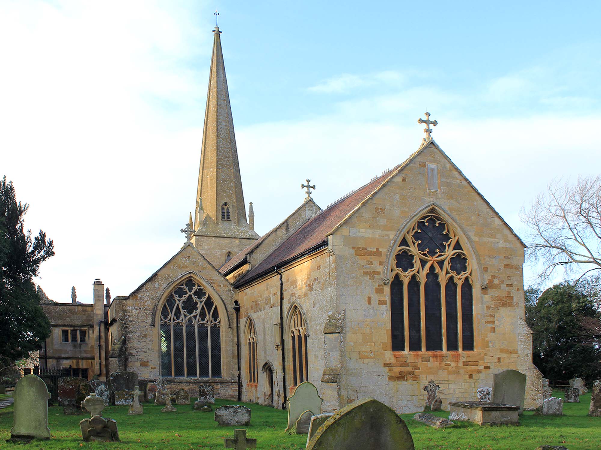
Church of St Lawrence, Mickleton
The Anglican Church of St Lawrence at Mickleton in the Cotswold District of Gloucestershire, England was built in the 12th century. It is a grade I listed...

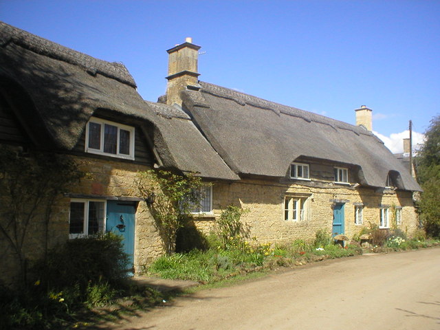
Mickleton, Gloucestershire
Mickleton is a village and civil parish in the Cotswold District of Gloucestershire, England. The village is the northernmost settlement in Gloucestershire...

Three Ways House Hotel
Three Ways House Hotel is a hotel in Mickleton, Gloucestershire, England. Built in 1871 as a house for a doctor, the now hotel features a weekly dining...
Nearby Amenities
Located within 500m of 52.09194,-1.7422906Have you been to Coleman's Hill?
Leave your review of Coleman's Hill below (or comments, questions and feedback).